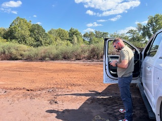
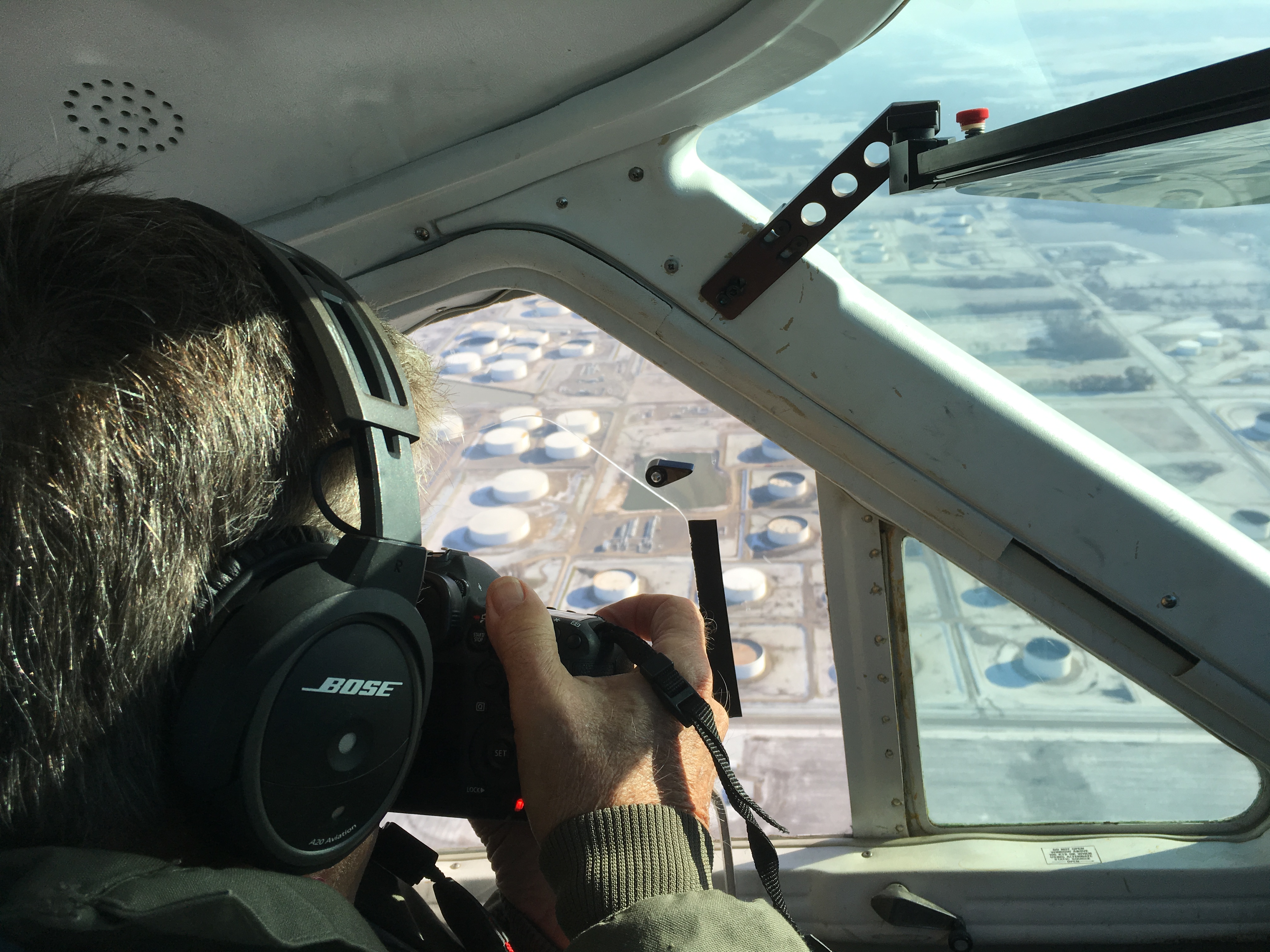
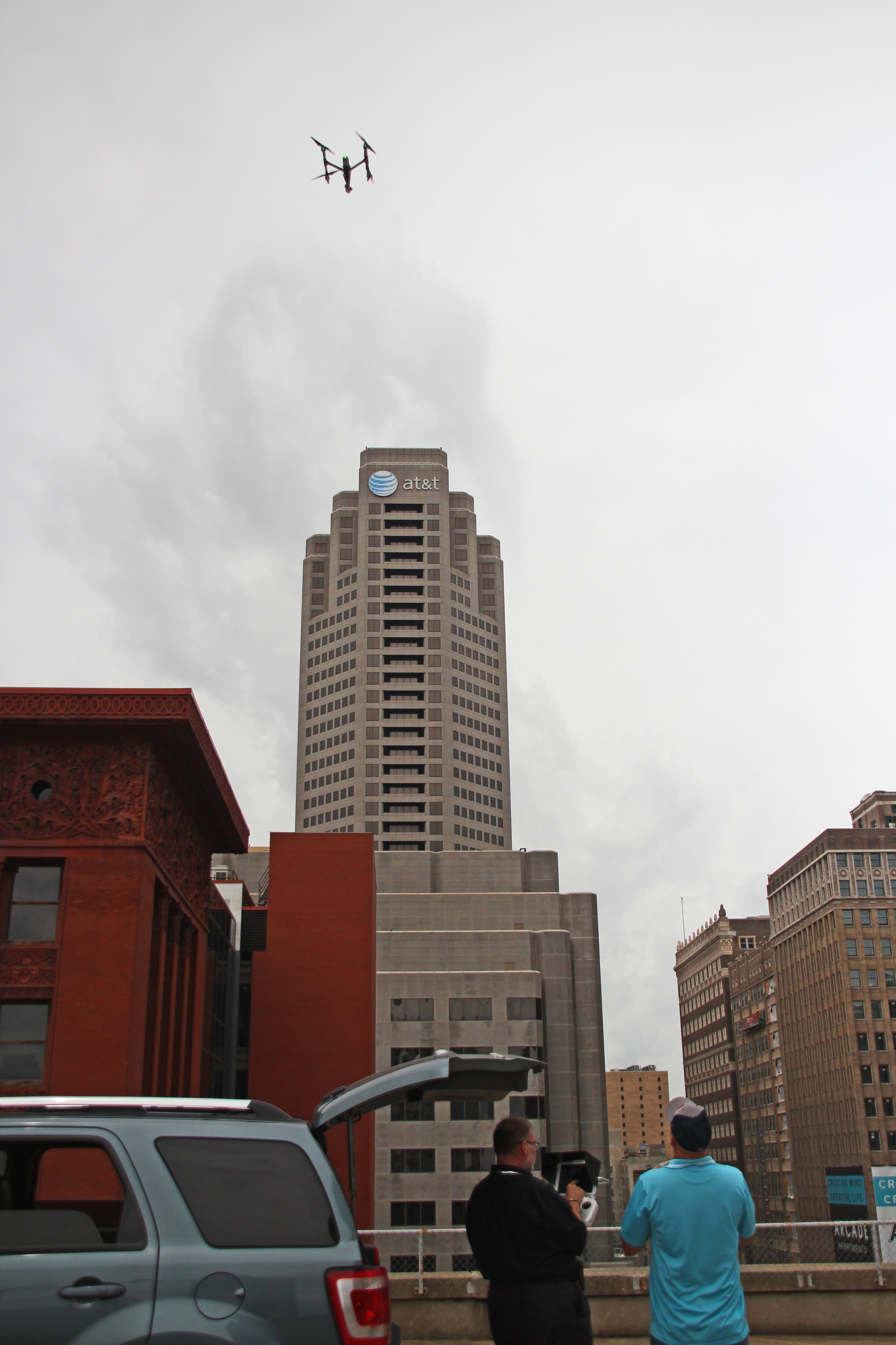
Aerial imaging has changed the way businesses and organizations document, evaluate, and present their properties. For many years, the conversation centered on photography and video alone. High-resolution drone images gave companies a faster and more dynamic way to show facilities, construction progress, commercial real estate, infrastructure, and large tracts of land. Today, however, many projects require more than visual impact. They require measurable information.
That is where LiDAR drone services have become so important.
For organizations in the St. Louis region, LiDAR offers a more advanced approach to aerial data collection. It allows teams to do more than simply view a site from above. It helps them understand the physical characteristics of a property with greater depth, precision, and usefulness. For decision makers responsible for planning, operations, development, facilities, engineering coordination, and site documentation, that added intelligence can be extremely valuable.
What LiDAR drone services actually bring to a project
LiDAR, which stands for Light Detection and Ranging, is a remote sensing method that uses laser pulses to measure distance and generate detailed three-dimensional information about land and surfaces. Instead of relying only on photographs, LiDAR captures spatial data that can be processed into models and measurements useful for evaluation and planning.
In practical business terms, LiDAR turns a drone mission into far more than a visual exercise. It becomes a way to gather physical site information that can support decisions.
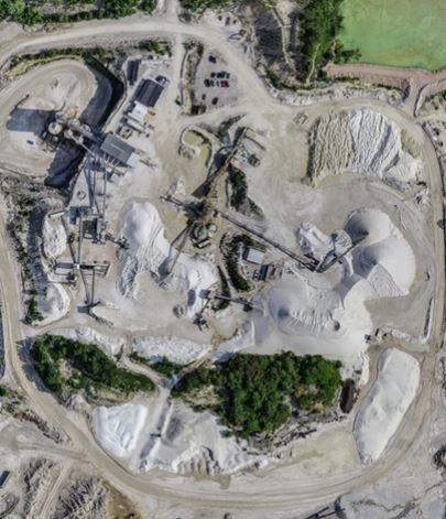
This matters because many commercial and institutional properties present conditions that are difficult to assess from the ground alone. Large parcels, uneven terrain, industrial yards, active job sites, rooftops, corridors, campuses, and development tracts often require more than a basic visual overview. They require a better understanding of shape, grade, elevation, and surface relationships.
For those projects, LiDAR can provide a more useful layer of insight than traditional aerial imaging by itself.
Why LiDAR matters in St. Louis
St. Louis is a market filled with properties and project types that benefit from stronger aerial data. Construction activity, industrial operations, healthcare campuses, educational facilities, transportation systems, utility environments, mixed-use developments, and large commercial properties all create situations where accurate site understanding matters.
In some cases, the need is operational. A company may need to document a site with greater clarity before making improvements, evaluating layout changes, or coordinating with consultants. In other cases, the need is strategic. A property owner, developer, or facilities team may want better information about land conditions, access patterns, or site characteristics before committing time and budget to the next phase.
LiDAR supports those goals because it helps transform an aerial mission into something measurable and actionable.
That shift is significant. Aerial photography may show the site. LiDAR can help explain it.
LiDAR versus standard drone photography
Drone photography remains highly valuable. It is often the right solution for marketing, progress documentation, inspections, public relations, and stakeholder communication. It creates strong imagery that is easy to understand and easy to use.
LiDAR serves a different purpose.
Rather than focusing primarily on appearance, LiDAR focuses on dimensional understanding. It is used when surface detail, terrain relationships, and measurable conditions are more important than visuals alone. That distinction is critical for commercial buyers, because not every project calls for the same kind of aerial capture.
If your goal is a polished presentation of a property or operation, photography may be the right place to start. If your goal is to better understand land, surfaces, site conditions, or spatial change, LiDAR can be the stronger tool.
Many of the best projects use both. Visual media supports communication, while LiDAR supports analysis. Together, they create a fuller picture of the site and provide value to multiple departments at once.
Where LiDAR drone services can create real value
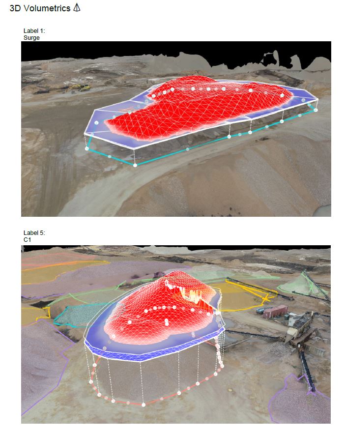
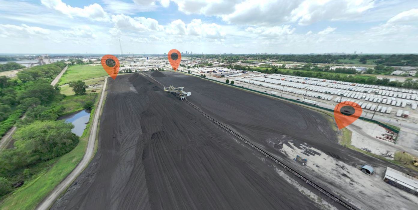
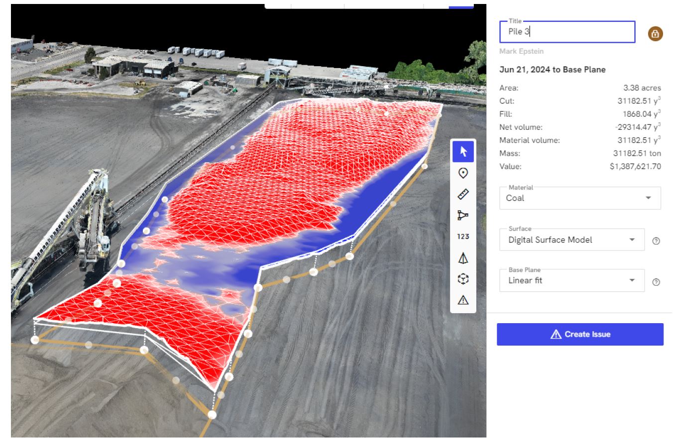
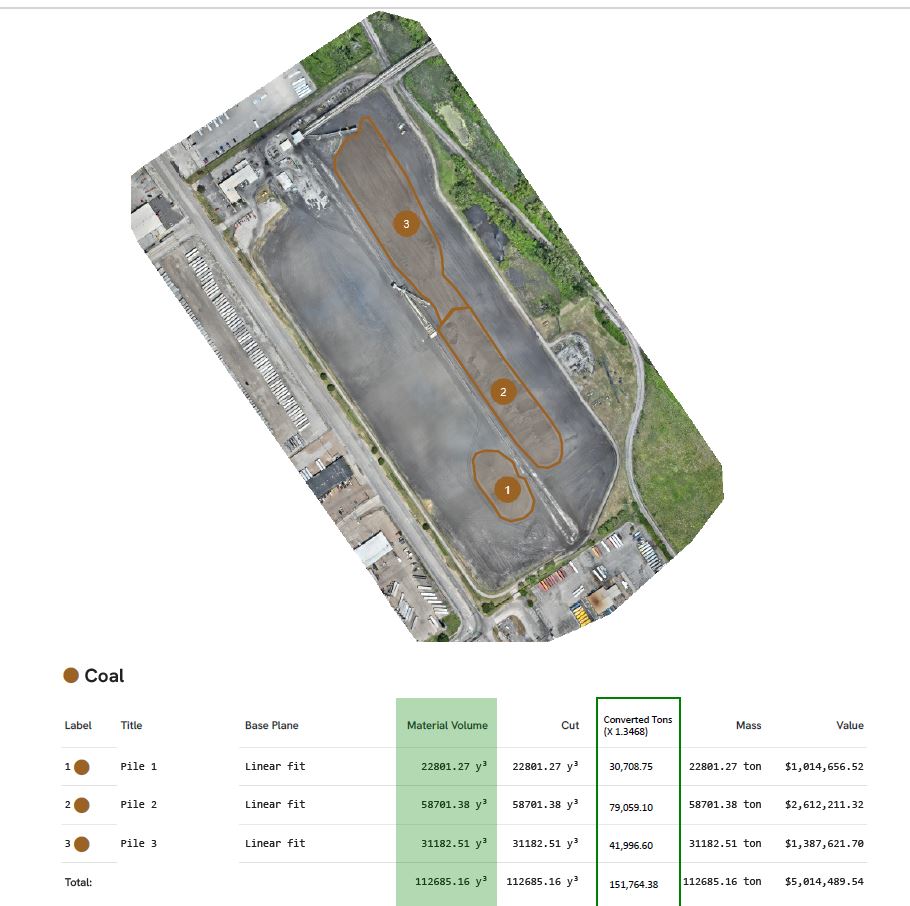
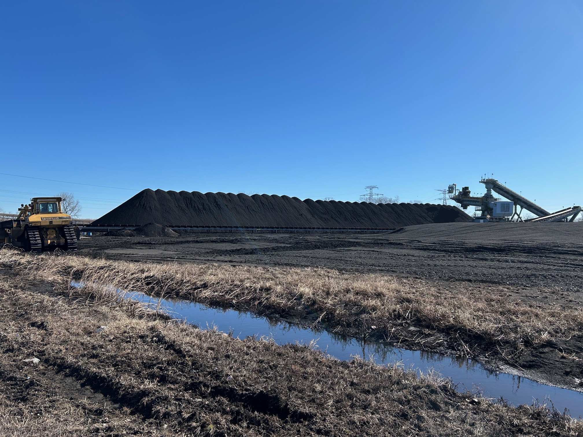
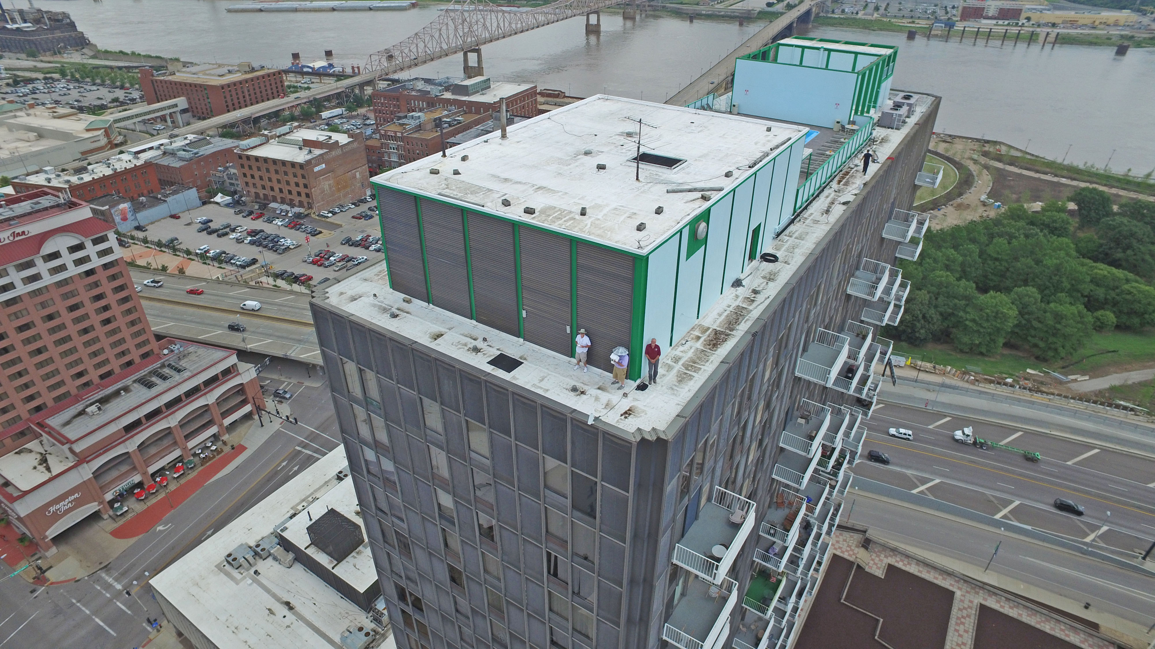
LiDAR is especially useful when a site is too large, too irregular, too active, or too difficult to interpret from the ground. It can support projects involving development planning, topographic understanding, facility evaluation, roof analysis, stockpile measurement, corridor documentation, drainage review, and long-term site tracking.
That makes it relevant to a broad range of organizations.
A construction team may need better site intelligence before work advances. A commercial property stakeholder may want documentation for planning or redevelopment. A facilities department may need a more complete understanding of a complex property. An industrial client may want aerial data that can help support internal review or outside coordination.
In each case, the value of LiDAR is not in the technology itself. The value is in reducing uncertainty and giving decision makers more reliable visual and spatial information to work from.
Why the planning side of LiDAR matters so much
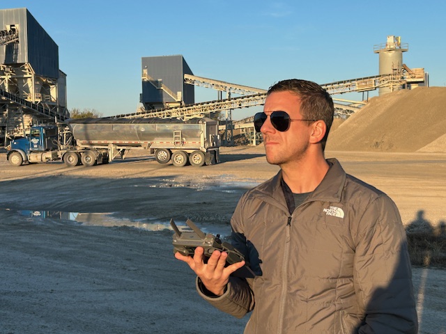
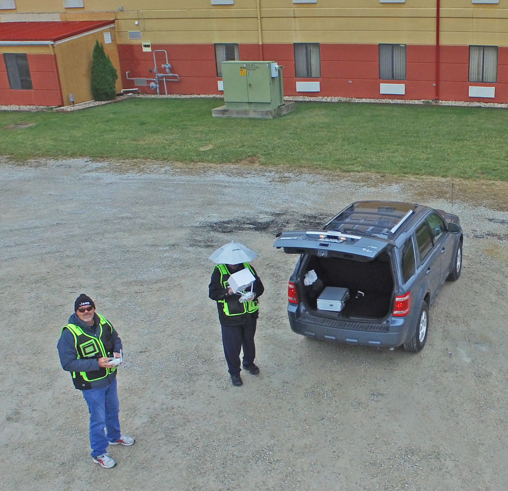
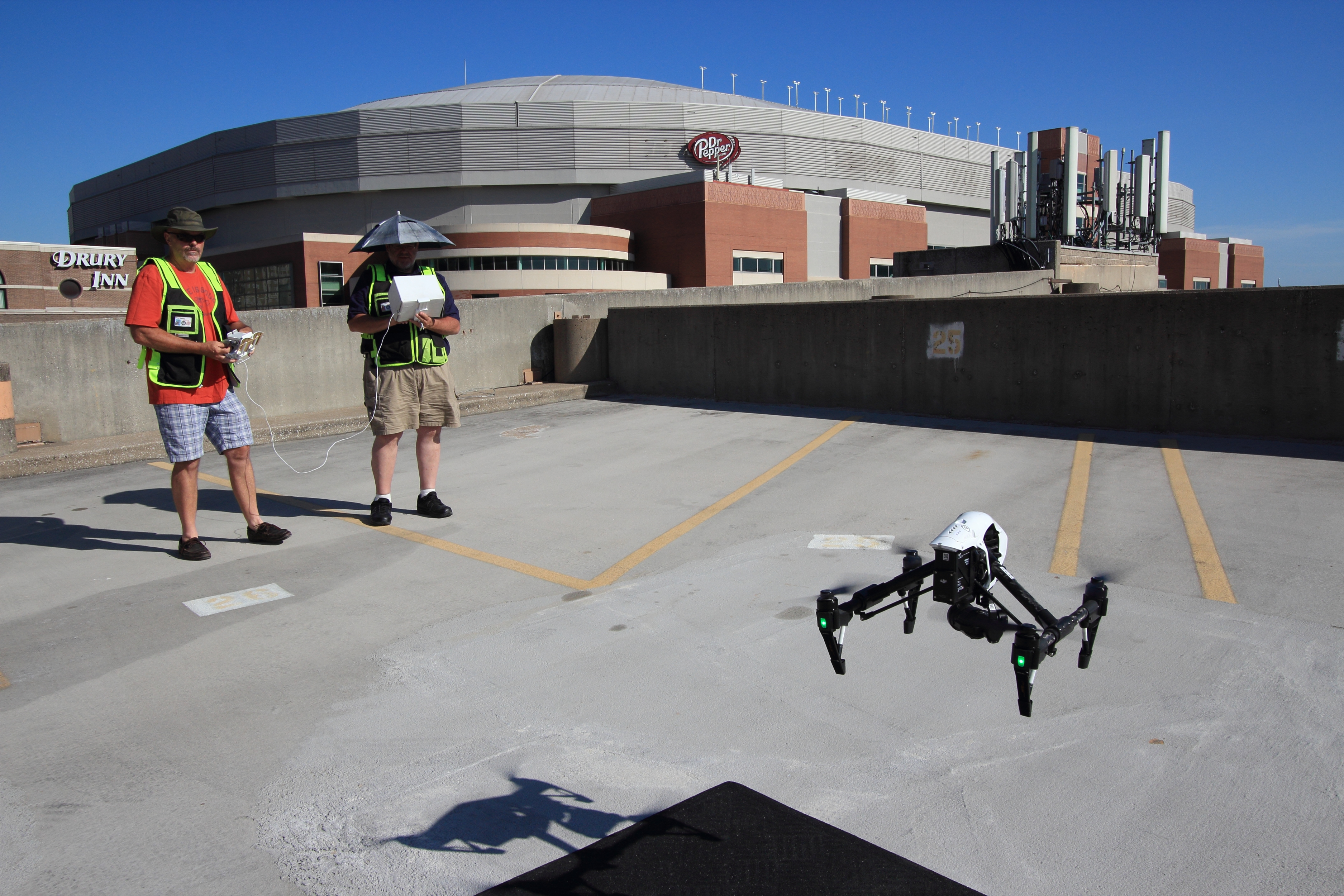
LiDAR is not a plug-and-play service where equipment alone determines the outcome. The success of a project depends on how well the mission is planned, how the site is understood, how the data is captured, and how the final outputs are prepared for use.
That means the provider has to think beyond the flight.
They need to understand the purpose of the project, the nature of the site, the kinds of deliverables that will be most useful, and how the client expects to use the results afterward. A good LiDAR project is not just about collecting data. It is about collecting the right data in the right way for the right reason.
For clients, that makes experience a major factor. A capable partner helps define what success looks like before the drone ever leaves the ground.
Why decision makers should think beyond the drone itself
Many first-time buyers of technical drone services focus heavily on aircraft and sensor specifications. Those details matter, but they are not the whole story.
The bigger question is what the provider can do with the project once the capture is complete.
Can they help align the aerial work with larger business goals? Can they support visual communication as well as technical needs? Can they provide outputs that are useful across departments? Can they create a production workflow that serves operations, planning, marketing, and executive communication at the same time?
That broader capability often creates more value than the flight alone.
For example, a company may commission LiDAR for site understanding, but also need aerial stills for a presentation, video clips for internal communications, and supporting photography for public-facing materials. When those needs are handled together, the production becomes more efficient, more consistent, and more useful to the organization.
LiDAR and visual storytelling can work together
One of the biggest missed opportunities in commercial drone production is the assumption that technical data and branded visual media belong in separate categories. In reality, many organizations benefit from both at the same time.
LiDAR can support measurement, planning, and documentation. Aerial photography can support proposals, websites, reports, and executive presentations. Video can help explain the site, the project, the investment, or the operational story behind the property. Ground photography can round out the visual record and strengthen communication across teams.
When a production company understands how to combine those elements, a single aerial assignment can support far more than one objective.
That is especially important for marketing directors, facilities managers, project stakeholders, and business leaders who want every production dollar to work harder.
Why local experience matters in St. Louis aerial production
St. Louis projects are rarely generic. Locations vary widely in access, environment, surrounding structures, traffic, property use, and production needs. Some sites require careful coordination because they are active business environments. Others need a provider who can move efficiently between technical capture and polished visual production. Some require exterior aerial work, while others call for specialized indoor drone capability.
That local experience matters because the best aerial results come from teams who know how to adapt to the production environment, not just the aircraft.
Aerial work should feel like part of a larger professional production process, not a disconnected technical add-on. That means thinking about scheduling, client workflow, safety, logistics, shot planning, usable deliverables, and the broader purpose behind the project.
Why St Louis Aerial Photography is a strong choice for LiDAR drone services
At St Louis Aerial Photography, we understand that aerial production has to do more than create impressive overhead imagery. It has to help clients solve problems, communicate clearly, and capture usable information. That is why our approach to LiDAR drone services is grounded not only in technical capability, but also in production experience and practical business value.
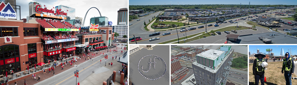
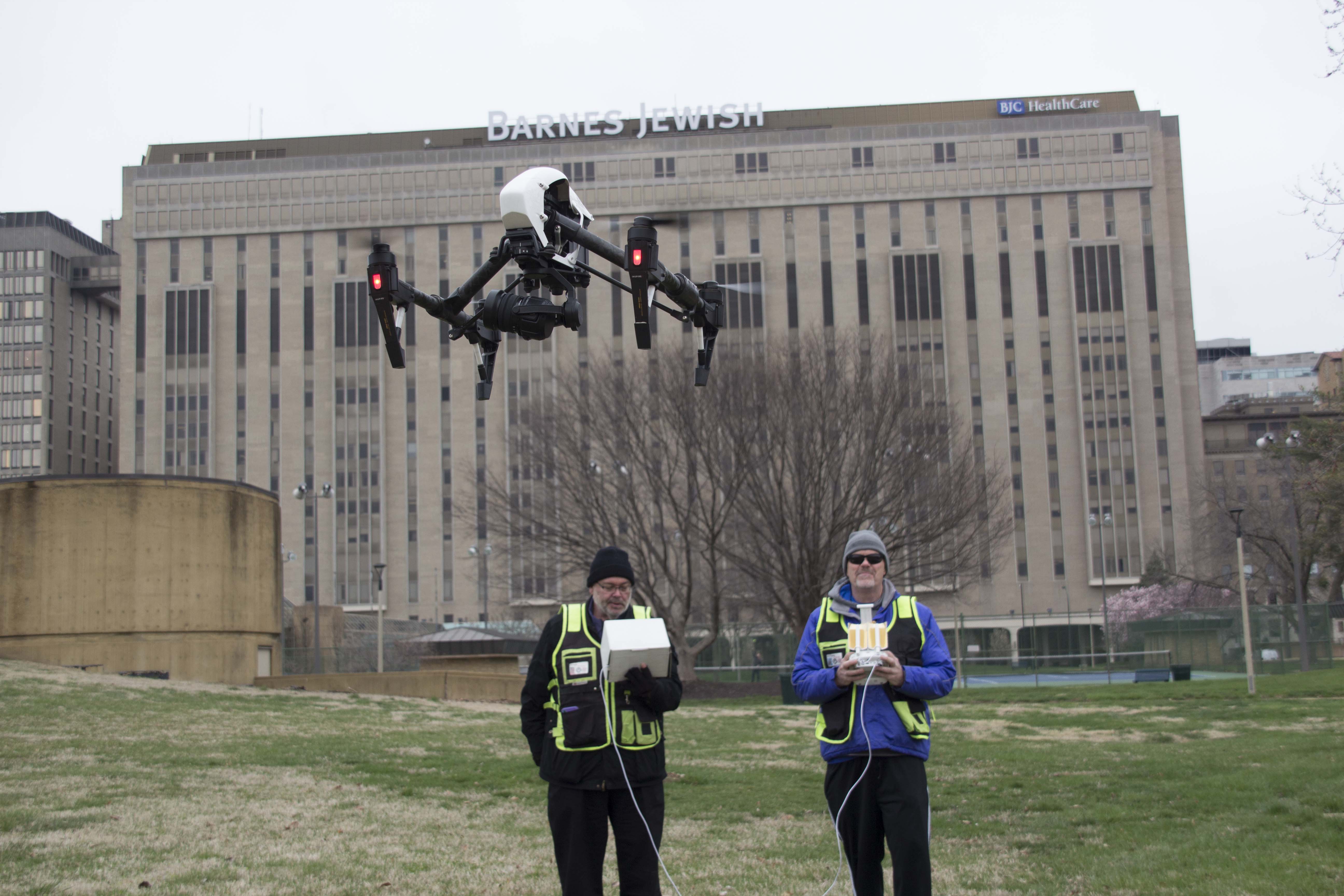
St Louis Aerial Photography is a full-service professional commercial photography and video production company with the right equipment and creative crew service experience for successful image acquisition. We offer full-service studio and location video and photography, as well as editing, post-production and licensed drone services. St Louis Aerial Photography can customize your productions for diverse types of media requirements. Repurposing your photography and video branding to gain more traction is another specialty.
We are well-versed in all file types and styles of media and accompanying software. We use the latest in Artificial Intelligence for all our media services. Our private studio lighting and visual setup is perfect for small productions and interview scenes. Our studio is large enough to incorporate props to round out your set. We support every aspect of your production—from setting up a private, custom interview studio to supplying professional sound and camera operators, as well as providing the right equipment—ensuring your next video production is seamless and successful. We can fly our specialized drones indoors.
As a full-service video and photography production corporation, since 1982, St Louis Aerial Photography has worked with many businesses, marketing firms and creative agencies in the St. Louis area for their marketing photography and video. When your project calls for advanced aerial coverage, LiDAR capability, and a production partner that understands both technical results and polished visual deliverables, St Louis Aerial Photography brings the experience, equipment, and creative support to help you get more from every flight.
