Our Drone Services use only the most current and up to date software to ensure the highest accuracy when creating 3D models and site maps. Whether you’re an engineering firm looking to capture an existing site or you’re a construction company trying to better understand the land you’re building on, our software creates a user-friendly 3D environment with real world coordinates. Get your project off to a quick start using the latest in drone technology. See an instant Return On Investment through quicker data collection and far fewer man hours.
Aerial Photogrammetry
Orthorectified and Orthomosaic Imagery
DSM, DTM and Surface Models

Drone 3D Mapping Models
3D Models
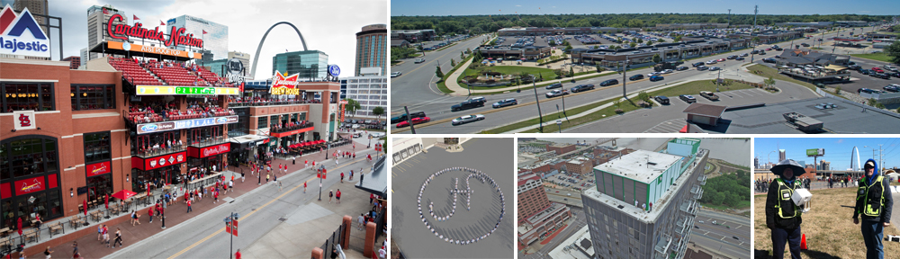
Produce valuable 3D models of construction sites, commercial properties, or buildings. With advanced software, we combine data from multiple images to produce your 3D models. Visualize your property, measure volume, and calculate area.
Orthomosaic Mapping
Capture huge, hundred-acre properties with precision, detail, and accuracy. We leverage advanced software to stitch together thousands of drone photos to produce high quality orthomosaic maps.
314-604-6544
stlouisaerialphotography@gmail.com
Robert Haller, Drone Specialist
