As a key decision-maker overseeing photography, marketing, and video production services for your organization, you are acutely aware that efficiency, accuracy, and auditability drive profitability. When it comes to managing physical assets like aggregate, bulk materials, or construction earthworks, relying on outdated measuring tools is no longer a viable strategy for competitive businesses.
The solution is not just a technological upgrade—it’s a paradigm shift: Drone Volumetrics. This advanced aerial method fundamentally transforms how businesses acquire and utilize material measurement data, leaving traditional surveying tools permanently grounded.
The Critical Limitations of Legacy Measuring Tools
Before we explore the power of drones, it’s essential to recognize the inherent weaknesses of old measuring methods (like ground-based total stations or manual tape measurements):
- Risk and Safety: Sending personnel onto unstable stockpiles or busy sites to take measurements poses significant safety hazards.
- Time and Cost: Manual surveys are labor-intensive, time-consuming, and require halting operations, leading to costly downtime.
- Inaccuracy and Inconsistency: Measurements rely heavily on human judgment, are susceptible to errors, and are difficult to repeat consistently over time. This leads to costly inventory discrepancies.
- Lack of Audit Trail: Manual notes and spot checks do not provide a universally auditable, geo-referenced record of the material’s exact state at a specific point in time.
The Drone Volumetrics Advantage: Accuracy from Above
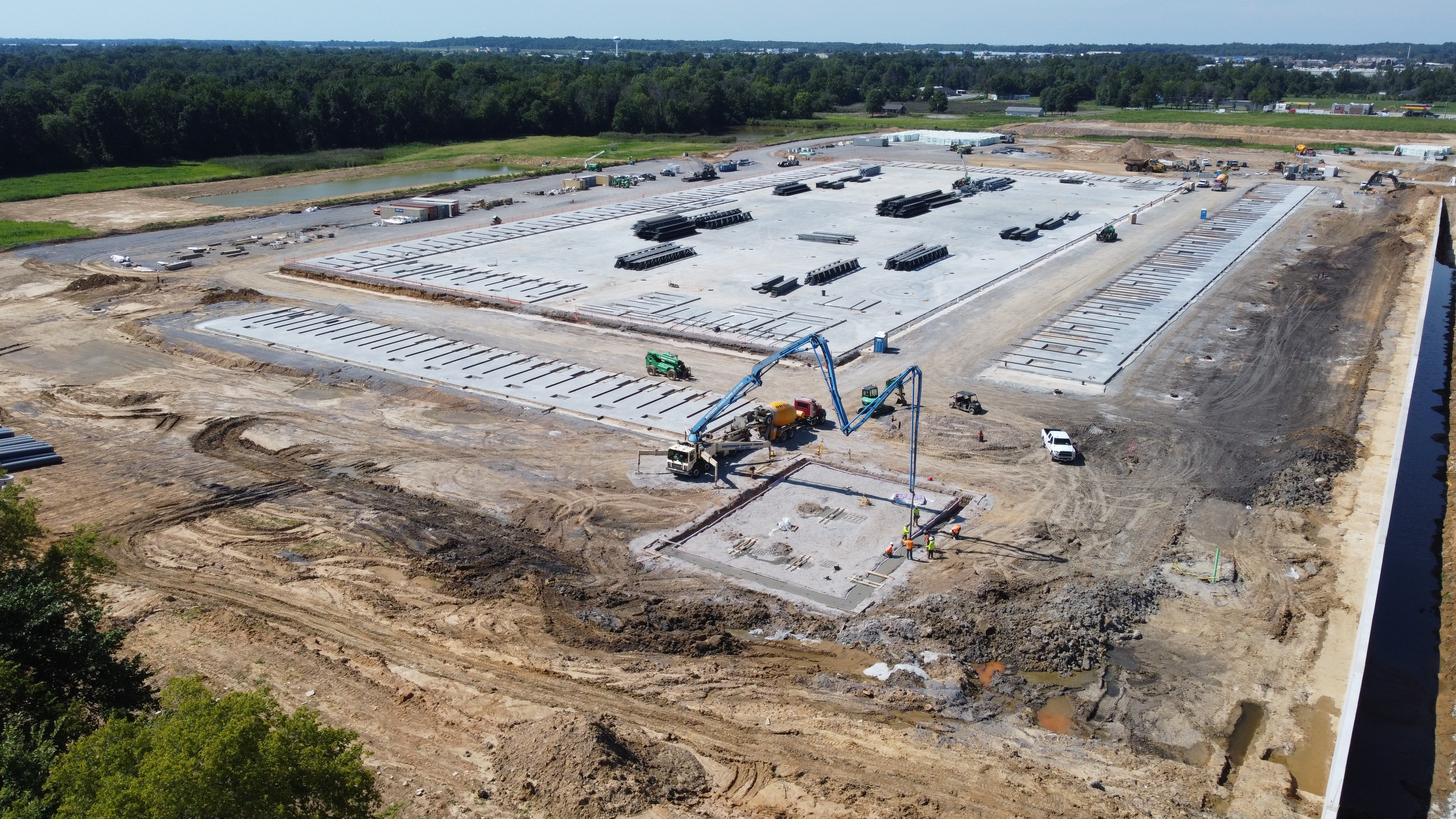
Drone volumetrics leverages high-resolution photogrammetry—the science of making measurements from photographs—to create a precise, three-dimensional model of a site.


1. Unmatched Speed and Efficiency
Professional, fixed-wing or multi-rotor drones can capture hundreds of overlapping, high-resolution images across a vast area (quarries, landfills, construction sites) in a matter of minutes or a few hours. This rapid data capture drastically reduces the time needed for a full inventory survey from days to hours, allowing your operations to continue with minimal interruption and maximizing productivity.
2. Engineering-Grade Repeatability
Once a flight path is established and geo-referenced, it can be flown again and again with sub-centimeter precision. This repeatability is critical for consistent, side-by-side comparison of inventory over time. Using advanced RTK (Real-Time Kinematic) or PPK (Post-Processing Kinematic) GPS technology, the resulting 3D models provide an accuracy that far surpasses traditional field methods, giving you confidence in every inventory report.
3. Fully Auditable Digital Assets
The output of a drone volumetric survey is not a sketch or a simple number; it is a geo-referenced Digital Surface Model (DSM) and a high-resolution Orthomosaic Map. This digital twin is a permanent, traceable record.
- Transparency: The data can be easily reviewed, shared, and re-measured by any third party, providing an unassailable audit trail for inventory management and accounting purposes.
- Risk Mitigation: Eliminating manual estimation error directly translates into better financial forecasting and reduced risk of asset over- or under-reporting.


Your Full-Service Partner: St Louis Aerial Photography and Video
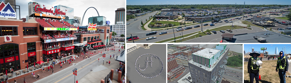
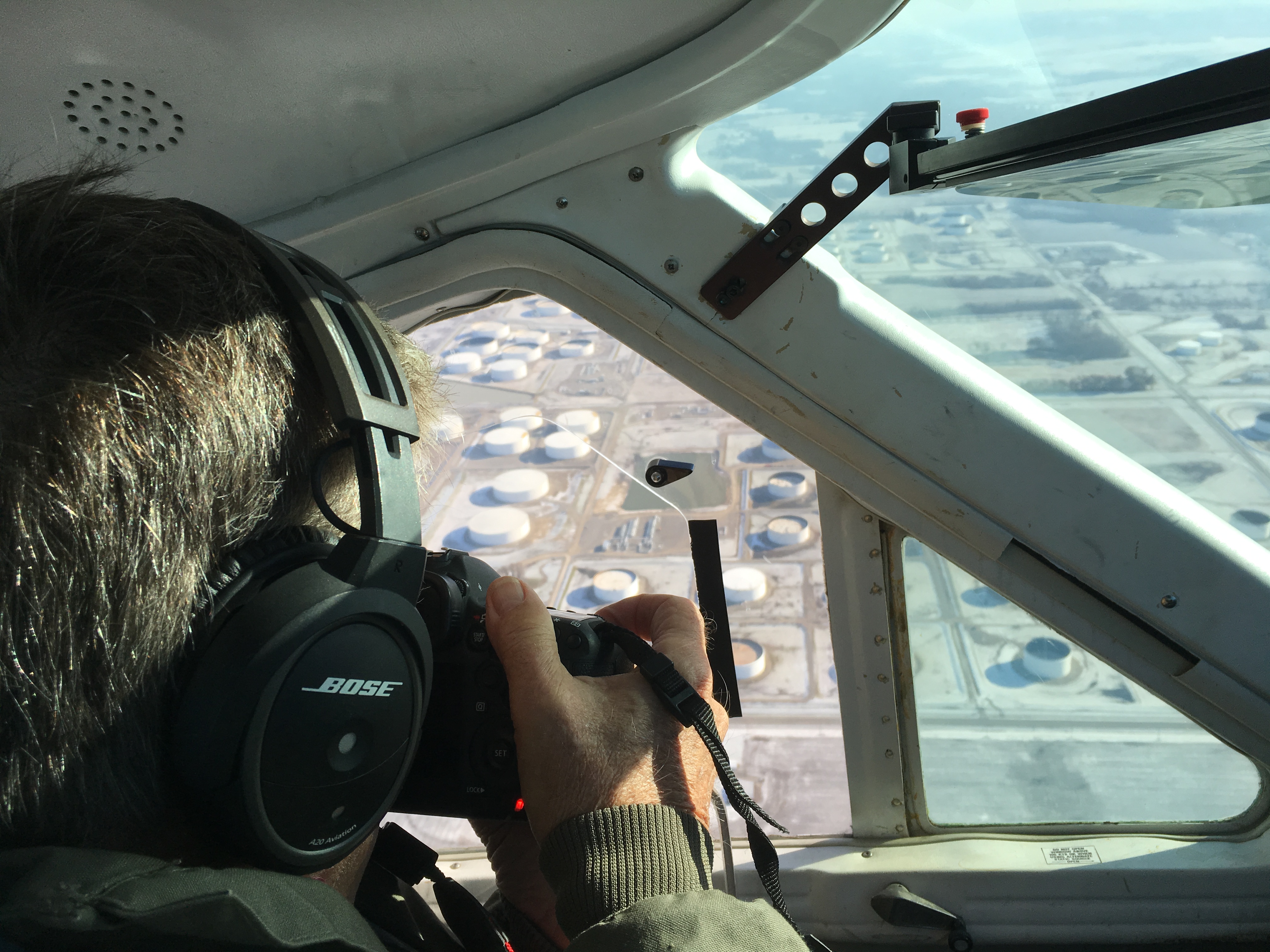
As an experienced videographer, photographer, and producer, I understand that the right technology is nothing without the right crew and creative vision. At St Louis Aerial Photography and Video, we seamlessly integrate cutting-edge data capture with premium commercial content creation.
Since 1982, our full-service professional commercial photography and video production corporation has been the trusted partner for businesses, marketing firms, and creative agencies across the St. Louis area.
We offer a complete suite of services that includes:
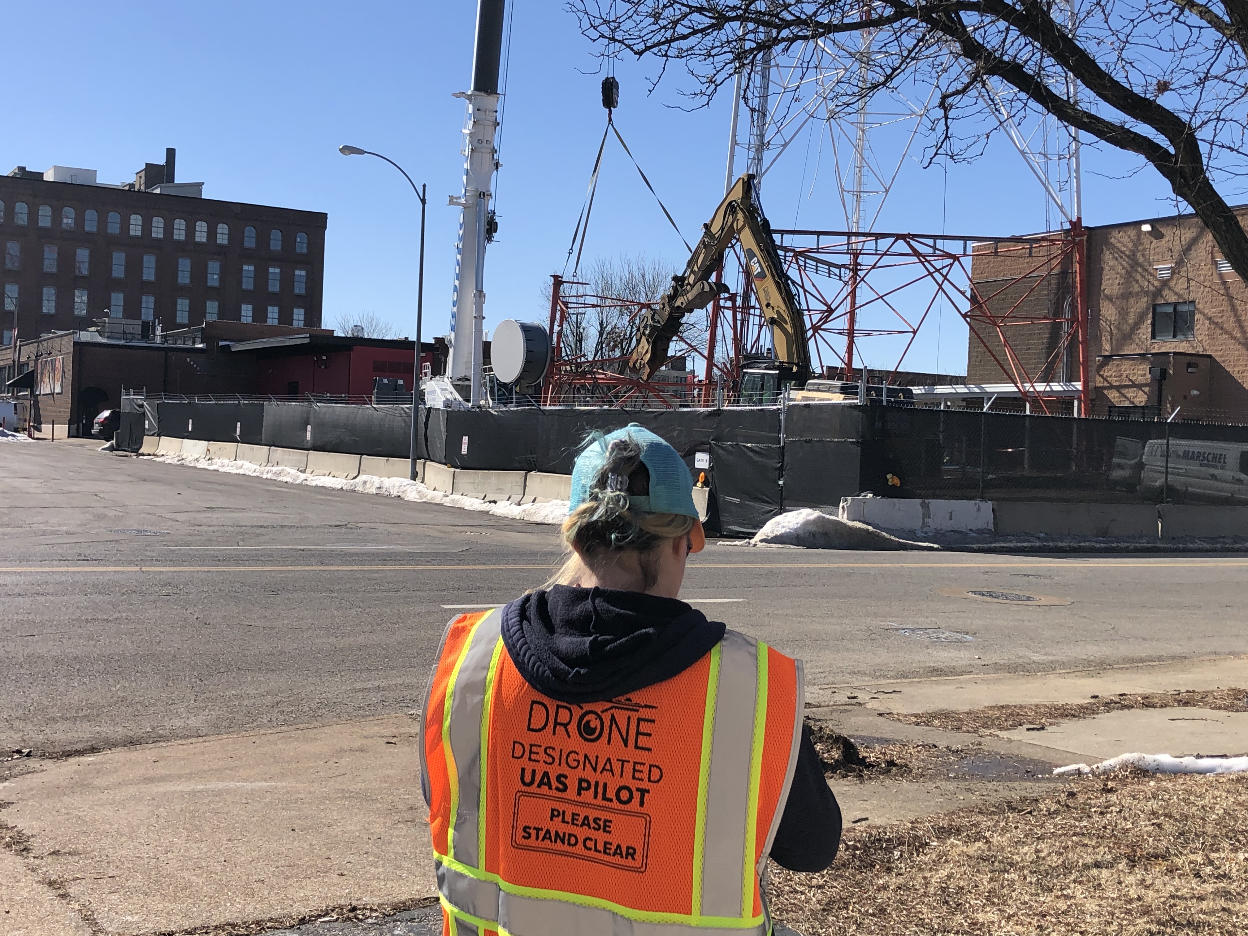
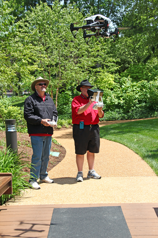
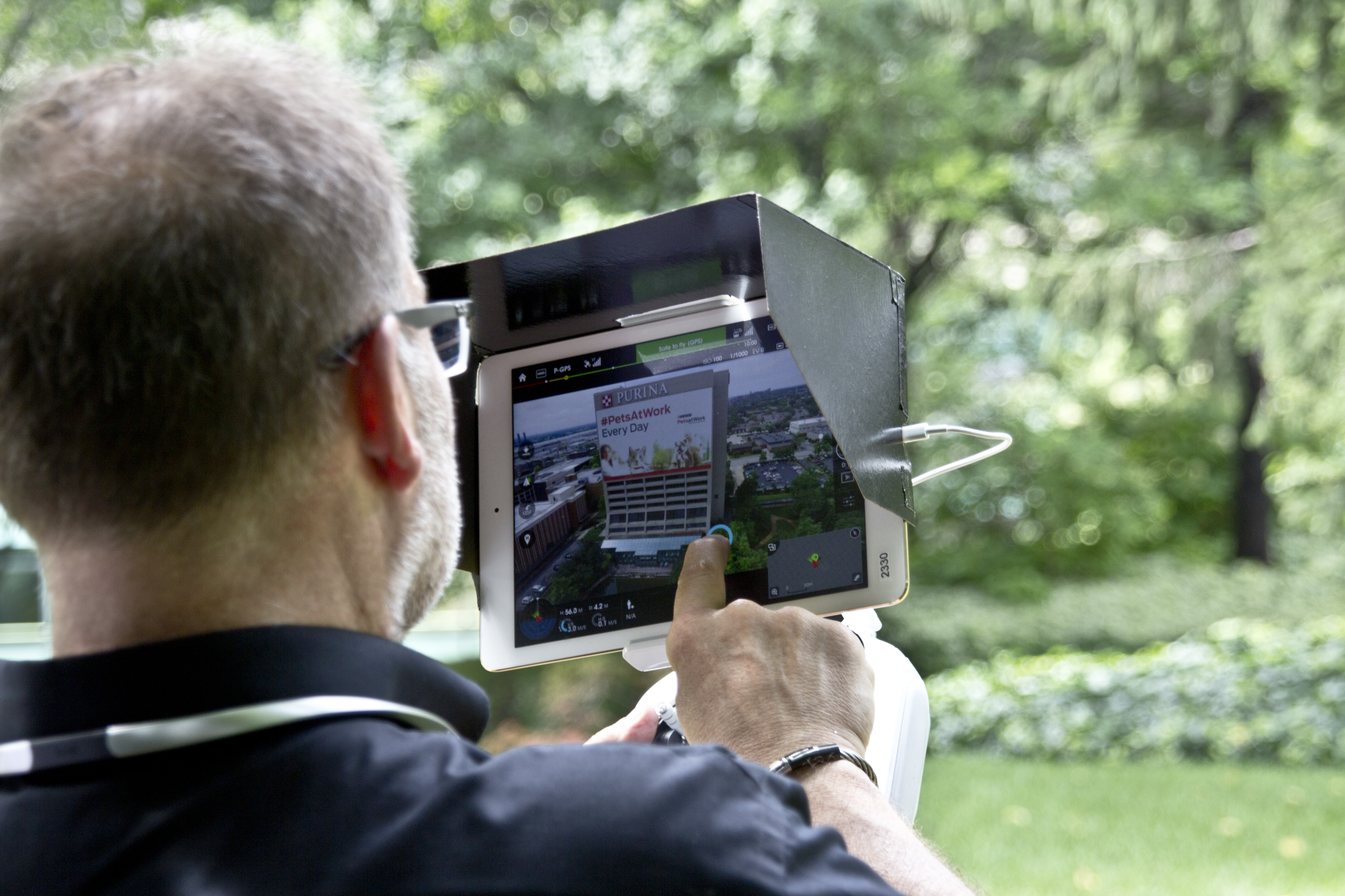
- Expert Crew & Equipment: We provide the right equipment and creative crew service experience for any successful image acquisition, including licensed drone pilots for all aerial work (indoor and outdoor).
- End-to-End Production: We offer full-service studio and location video and photography, handling all aspects from concept to final delivery, including editing and post-production.
- Cutting-Edge Technology: We are well-versed in all file types and styles of media and accompanying software. Crucially, we use the latest in Artificial Intelligence for all our media services, ensuring modern, efficient, and high-quality results.
- Custom Studio Services: Our private studio lighting and visual setup is ideal for small productions and high-quality interview scenes. The studio is large enough to incorporate props, creating a professional and custom set.
- Seamless Execution: We support every aspect of your production—from setting up a custom interview studio and supplying professional sound and camera operators to providing the necessary equipment—ensuring your next video production is seamless and successful.
- Strategic Repurposing: A core specialty is repurposing your photography and video branding to customize your productions for diverse types of media, helping you gain more traction and maximize your content investment.


Trust St Louis Aerial Photography and Video to deliver not just measurements, but powerful, auditable data and visually compelling content that drives your business forward.
