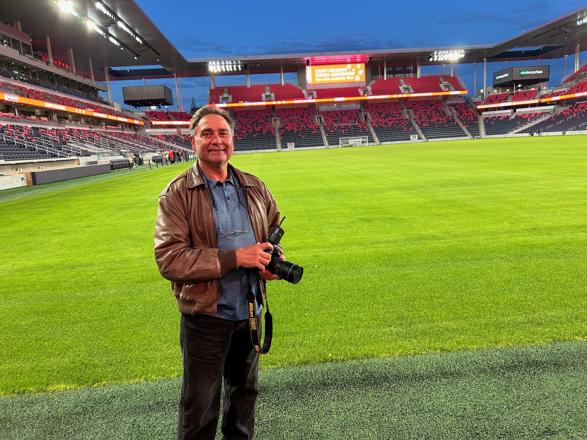
St Louis Aerial Photography provides creative shooting crews for aerial and ground video productions designed for businesses, marketing teams, agencies, developers, manufacturers, institutions, and organizations that need professional visual content with a clear purpose. Today’s most effective video and photography campaigns often require more than one camera angle or one style of coverage. A complete production may combine cinematic drone footage, ground-level interviews, branded b-roll, product visuals, facility footage, executive portraits, live-action sequences, and detailed post-production editing.
Our role is to help you capture the right images, from the right perspective, with the right crew and equipment for the job.
Aerial and Ground Production Working Together
Aerial footage adds scale, movement, geography, and impact. Ground footage adds detail, personality, story, and context. When both are planned together, the final production becomes stronger, more useful, and more engaging.
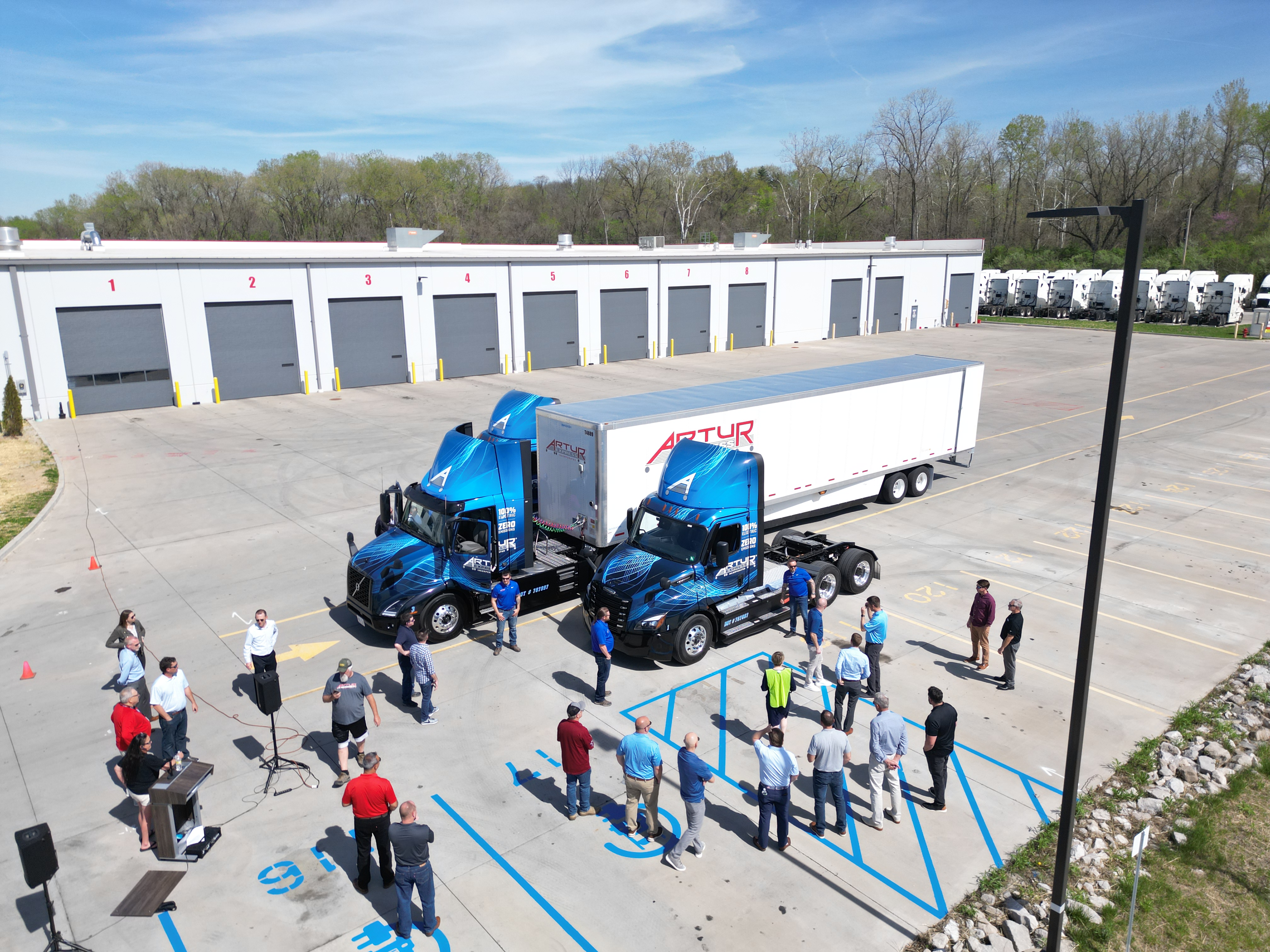
For example, an aerial drone sequence can establish a corporate campus, construction site, manufacturing facility, school, hospital, commercial property, or event location. Ground crews can then capture the people, processes, interviews, equipment, products, and details that explain the story. This combination creates a more complete visual message than either approach could deliver alone.
St Louis Aerial Photography works with clients to plan these elements before production begins, so the footage is not just attractive, but strategically useful for websites, social media, presentations, advertising, recruitment, training, public relations, and long-term brand marketing.
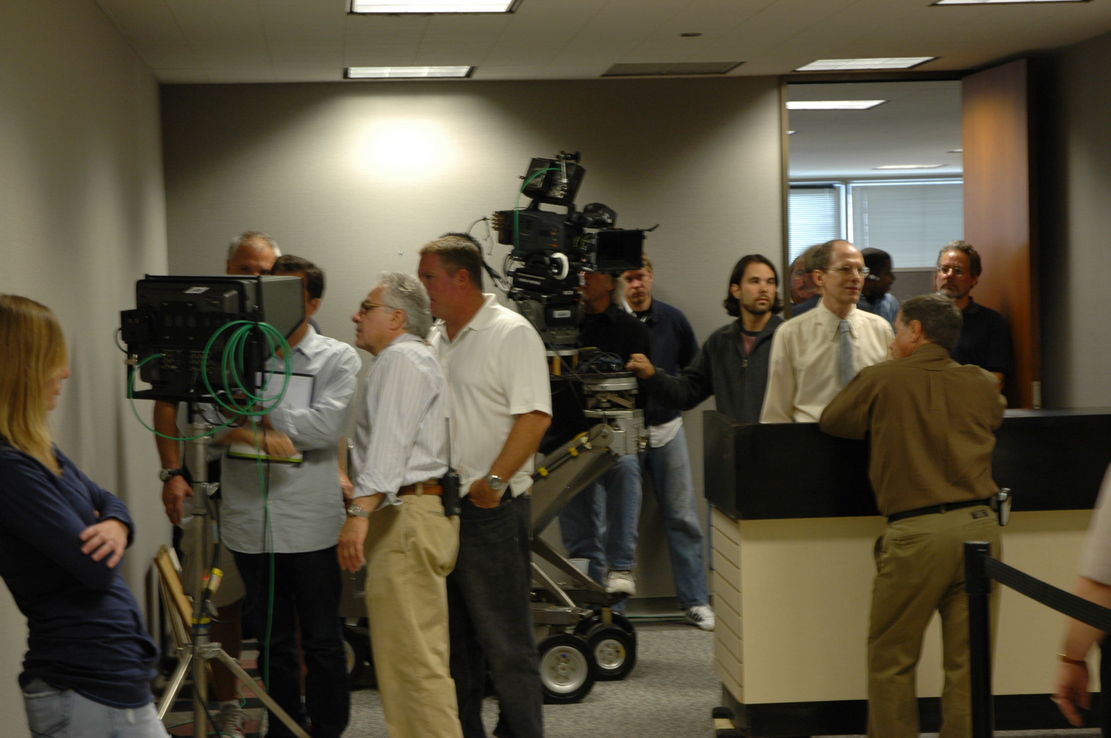
Creative Shooting Crews for Business and Agency Projects
Professional production requires more than simply showing up with a camera. A successful shoot depends on planning, lighting, sound, camera movement, lens selection, location logistics, safety, crew coordination, file management, and the ability to adapt when conditions change.
Our creative shooting crews can support a wide range of production needs, including:
Corporate video productions
Marketing and promotional videos
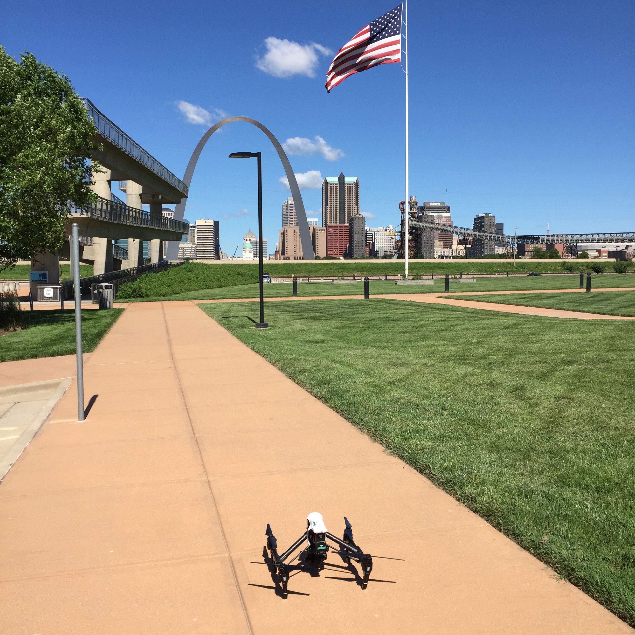
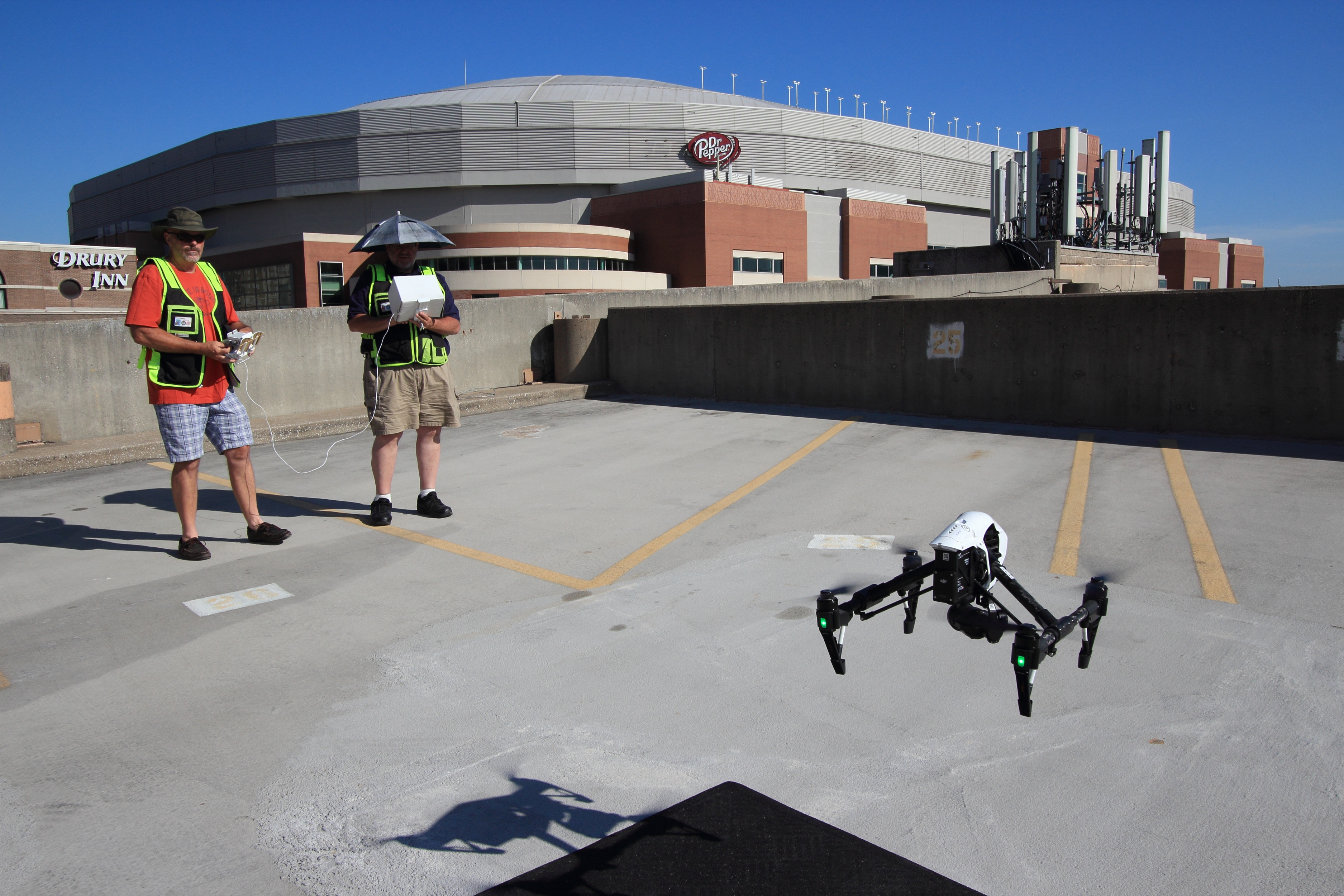
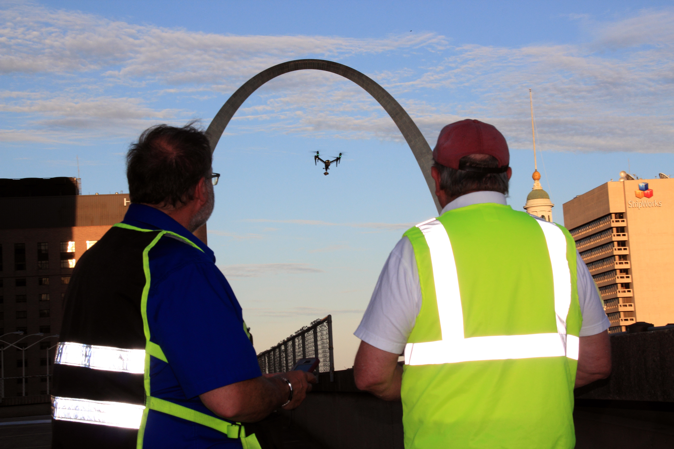
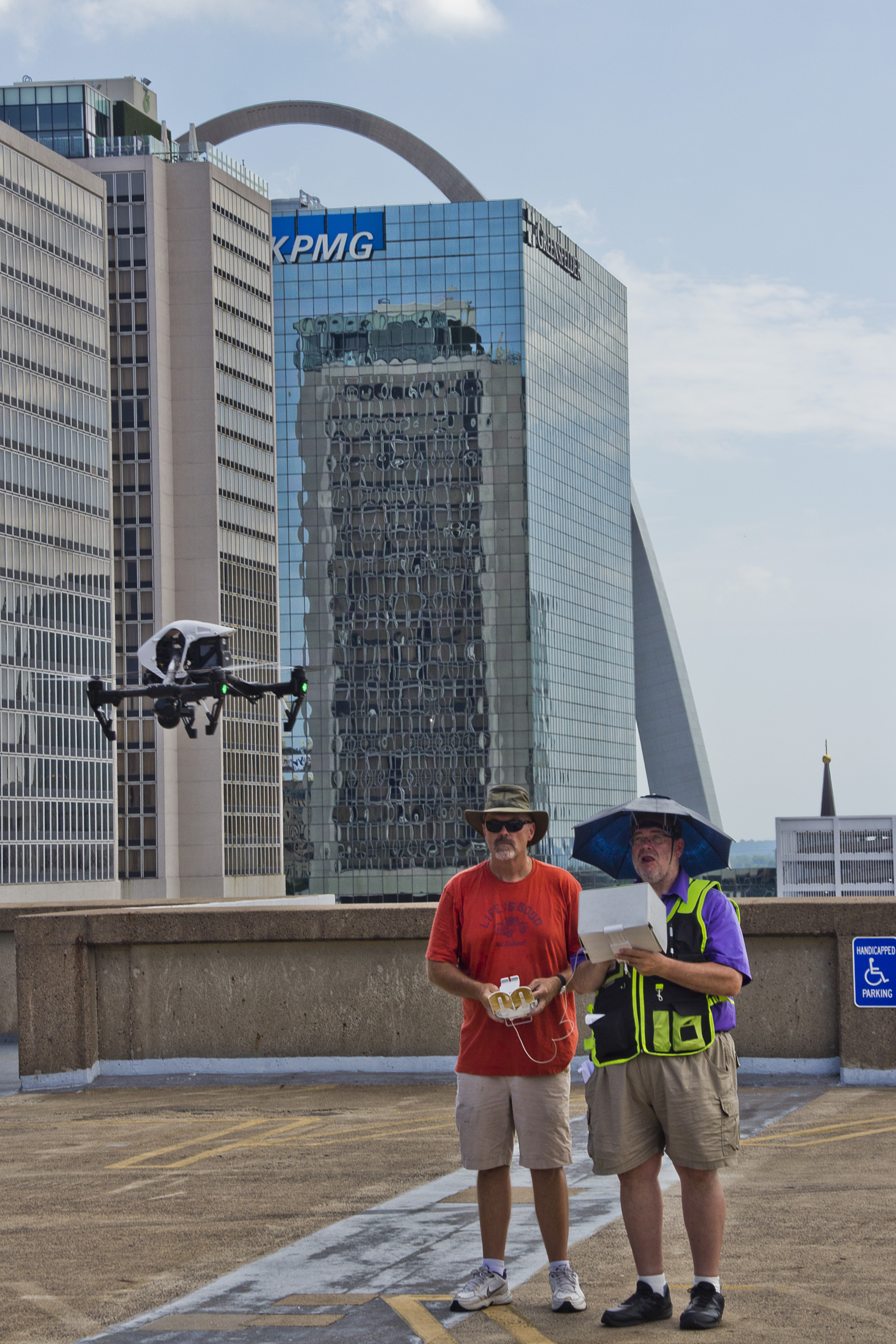
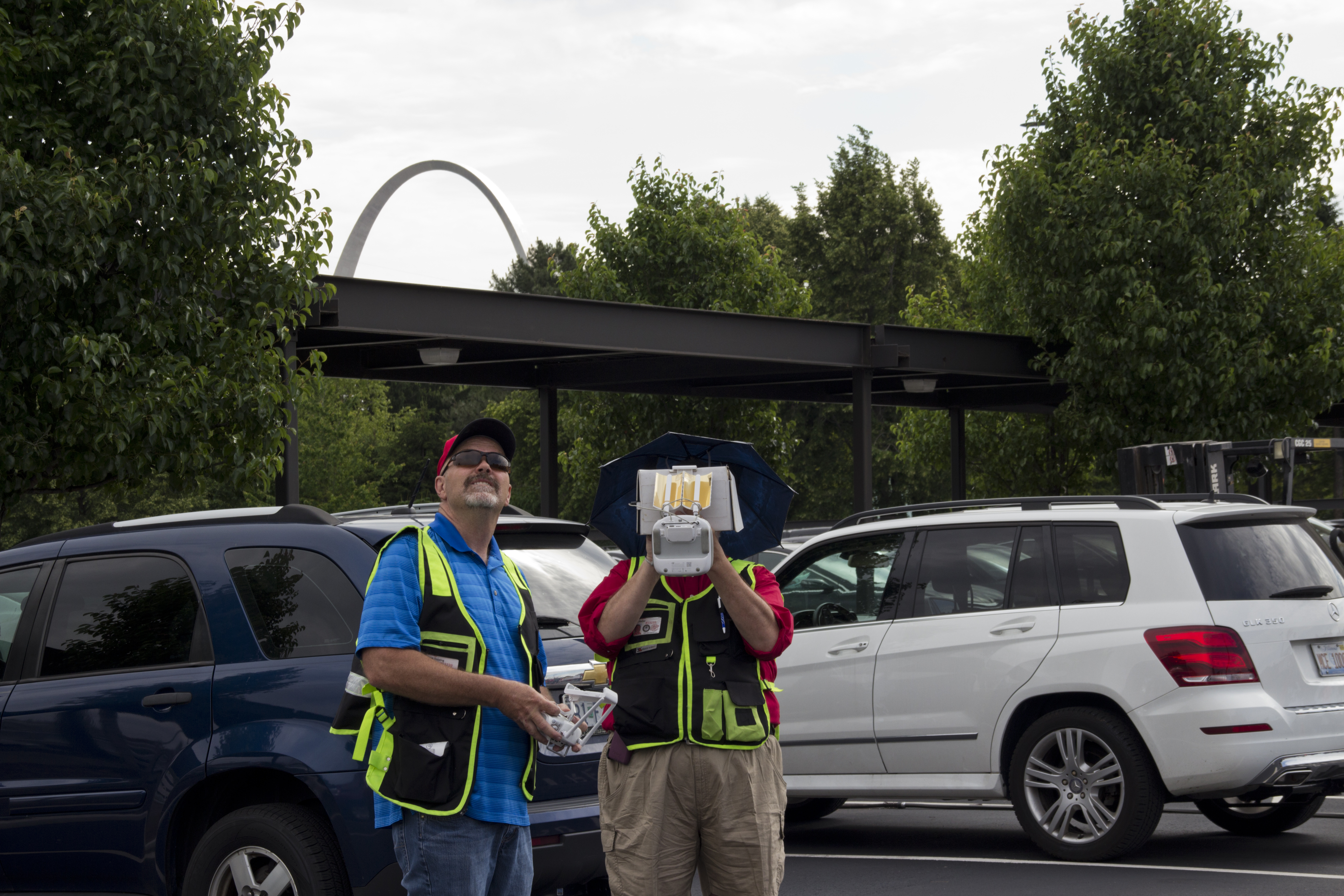
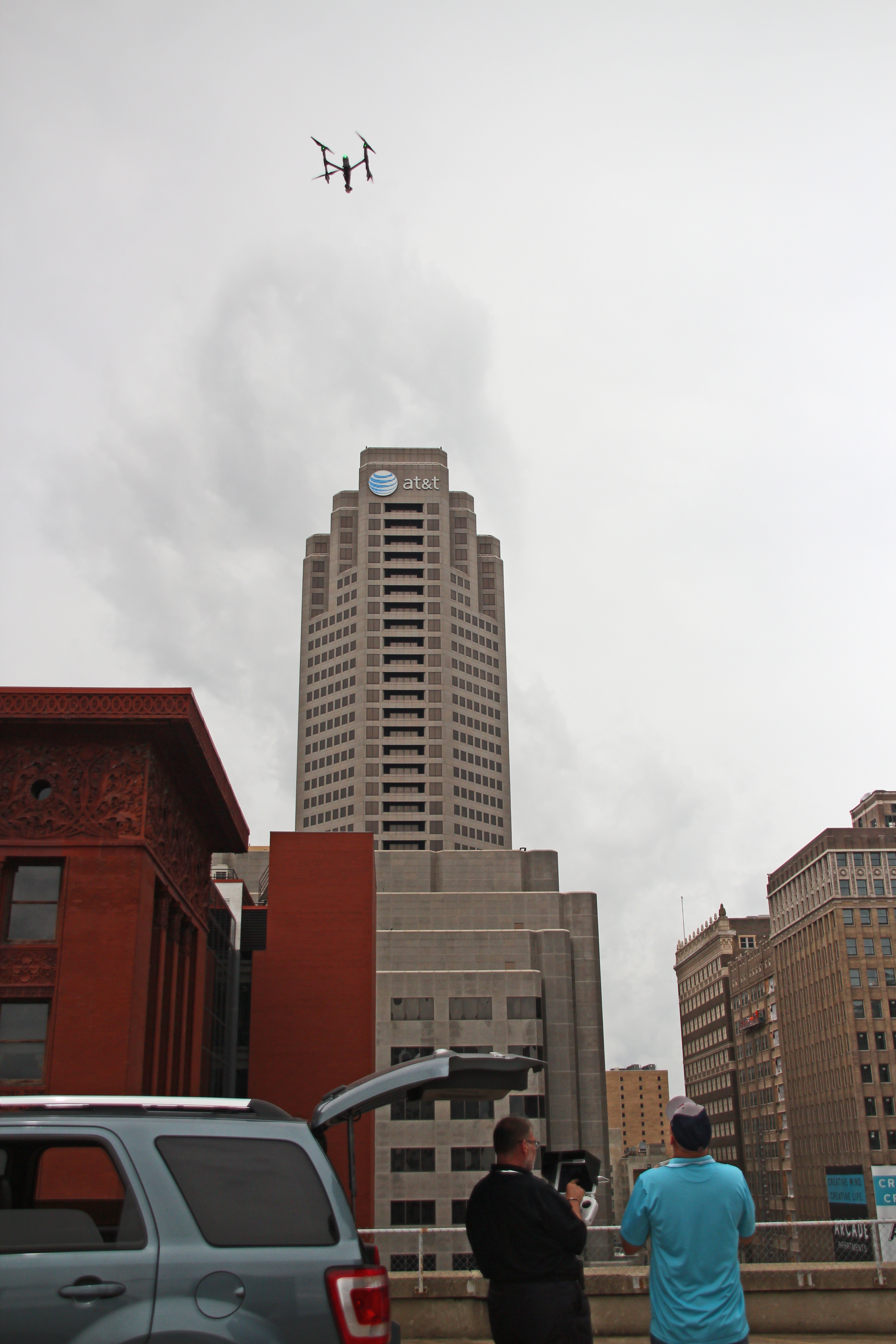
Aerial drone photography and video
Executive interviews and testimonial videos
Website and social media video content
Training and educational videos
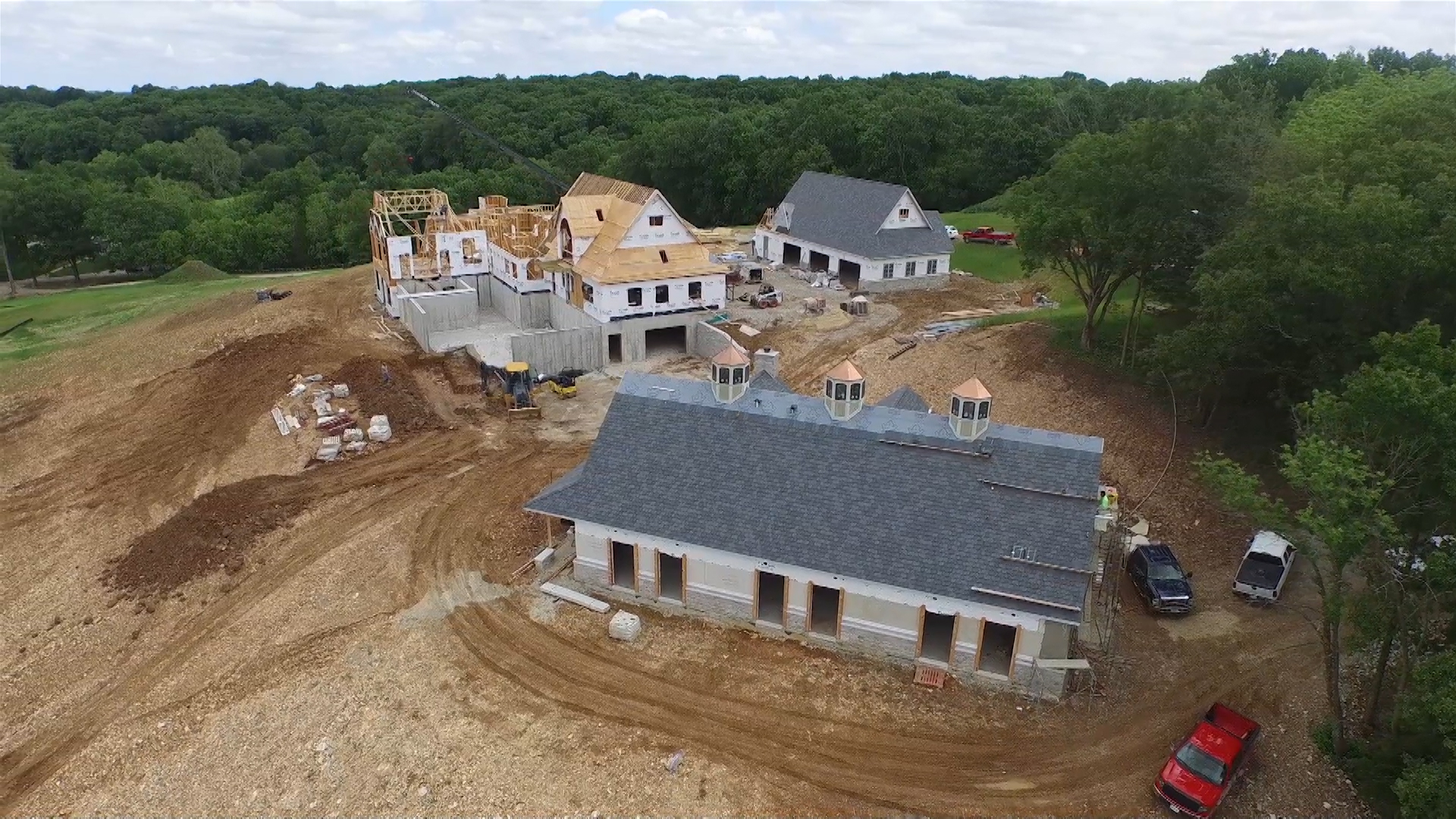
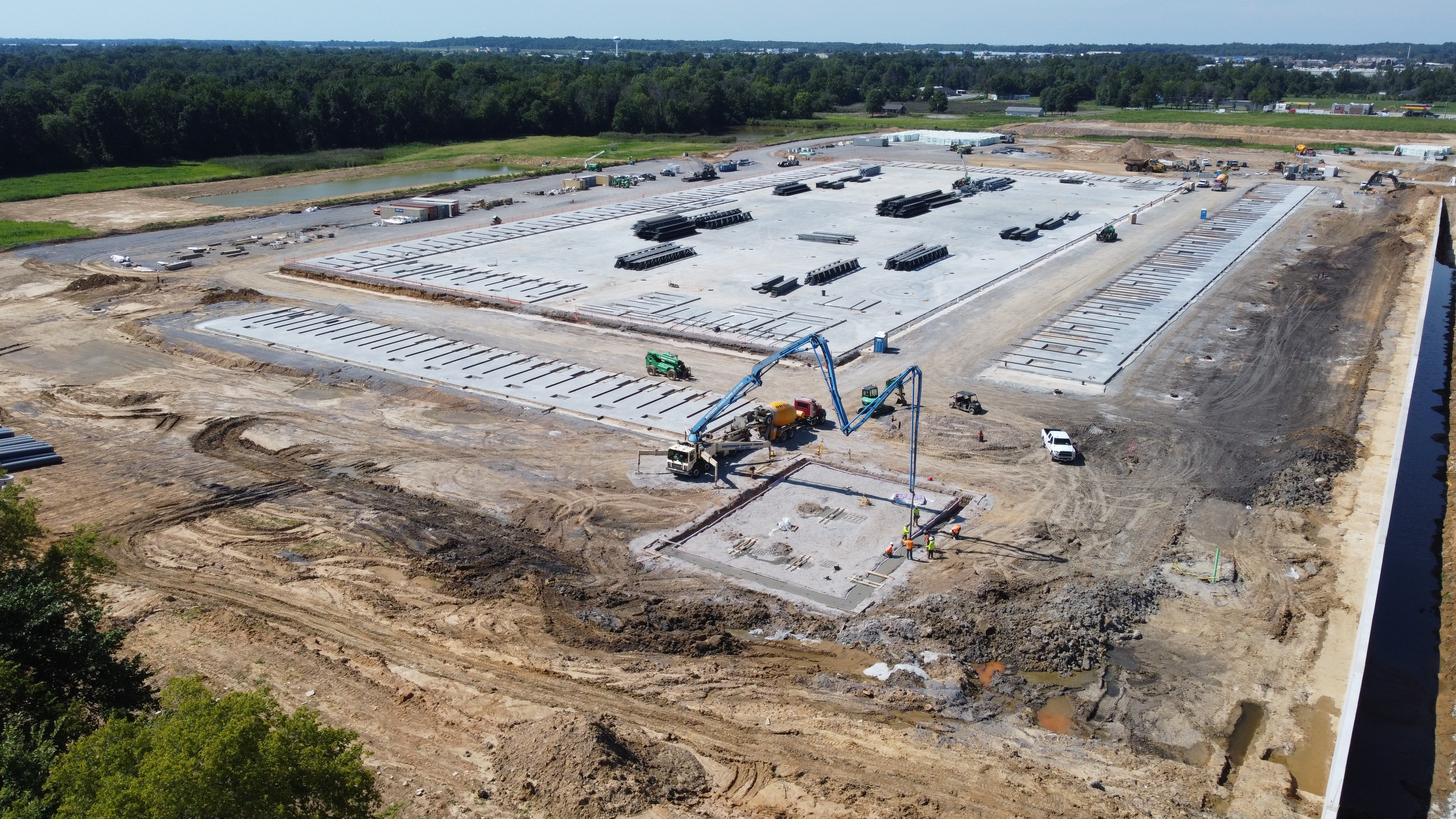
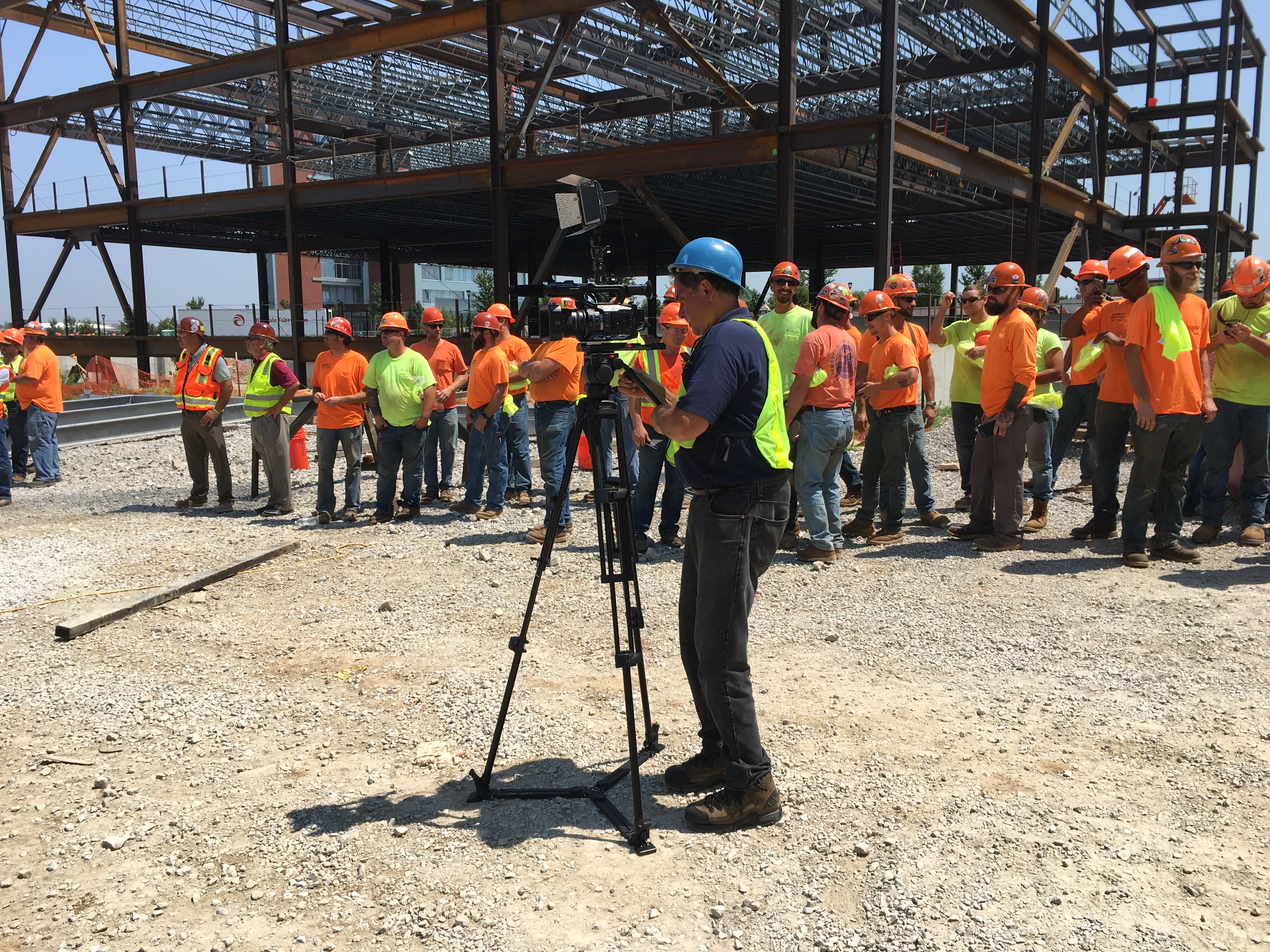
Construction progress documentation
Commercial real estate photography and video
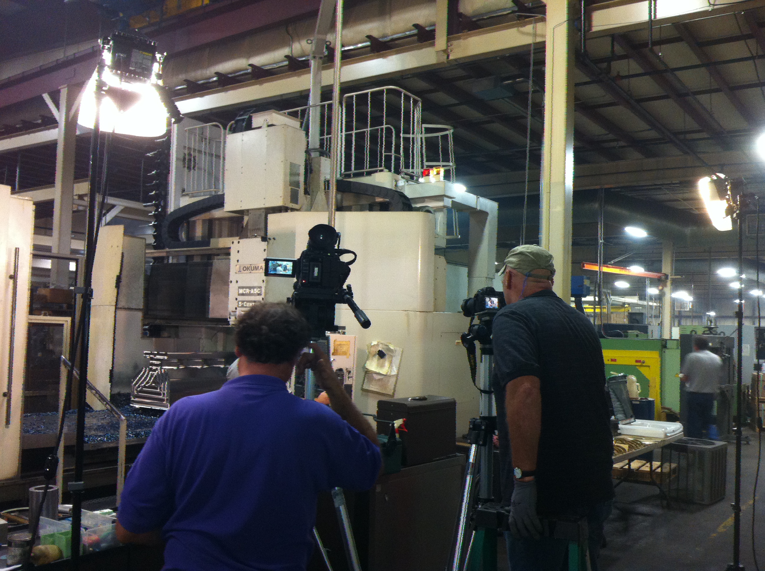
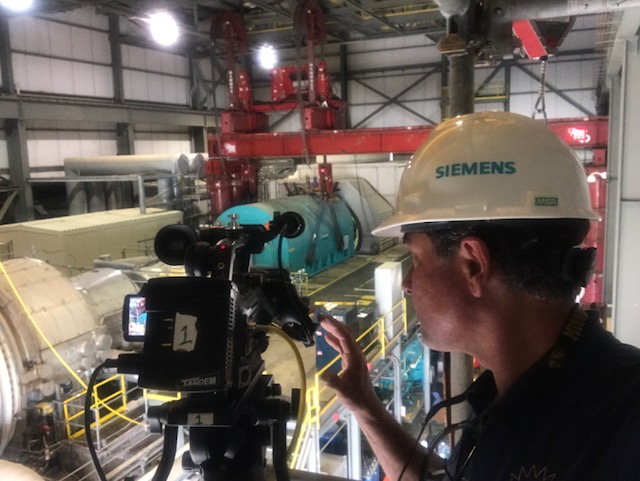
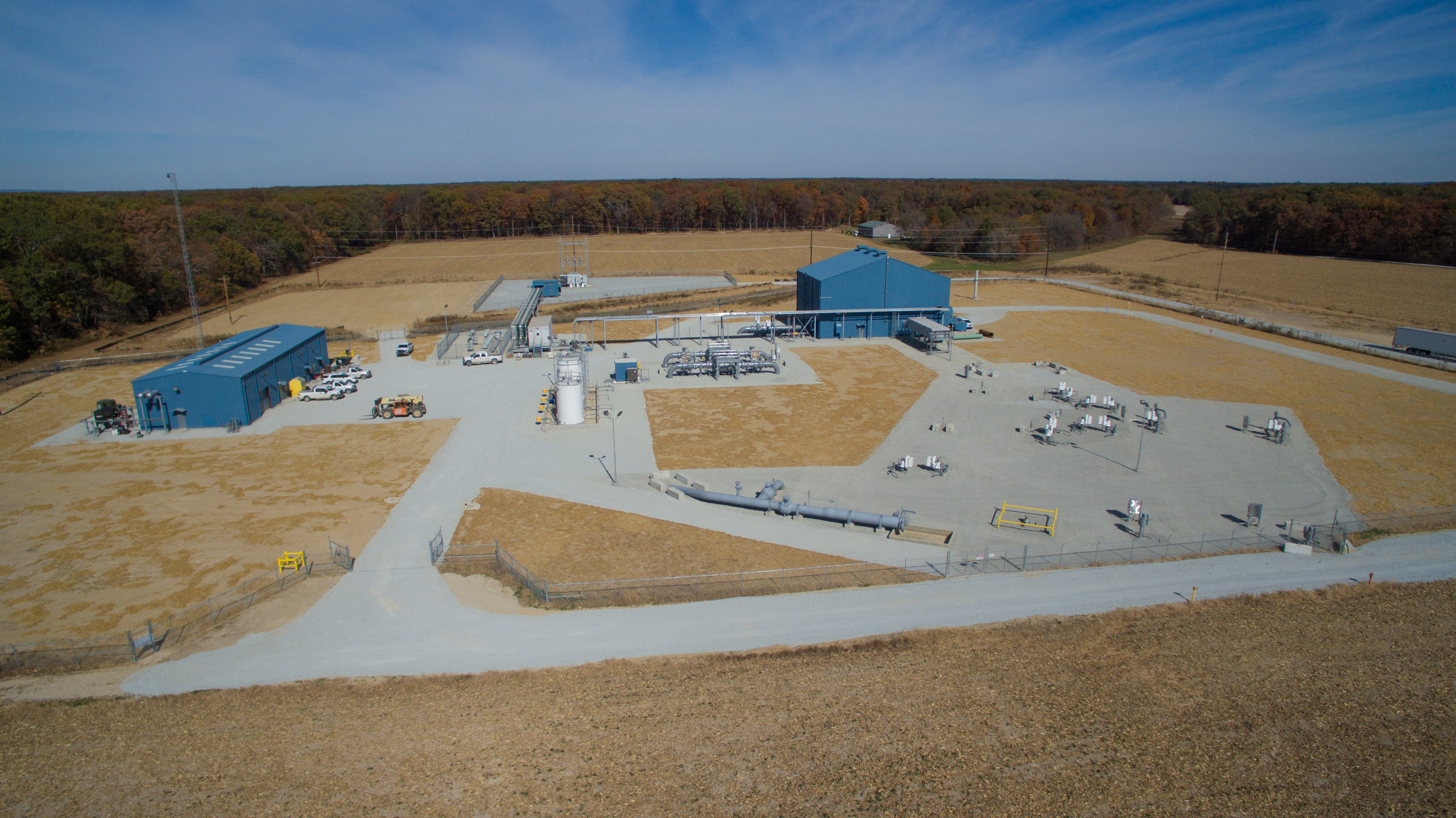
Industrial and manufacturing visuals
Event coverage and highlight videos
Location scouting and b-roll acquisition
Indoor FPV drone footage
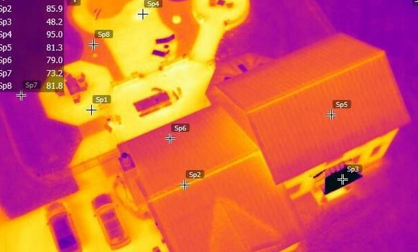
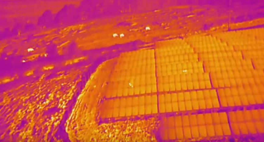
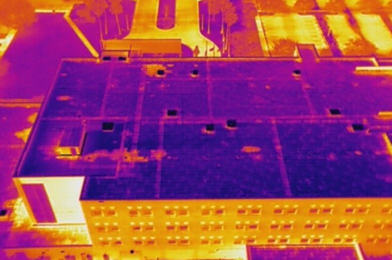
Thermal infrared drone imaging
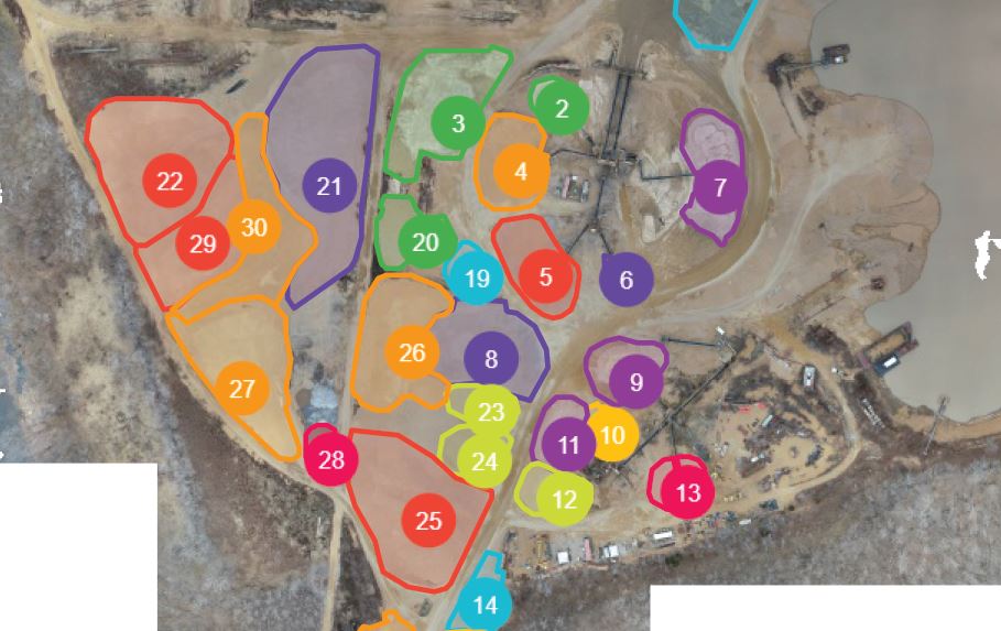
Orthomosaic mapping
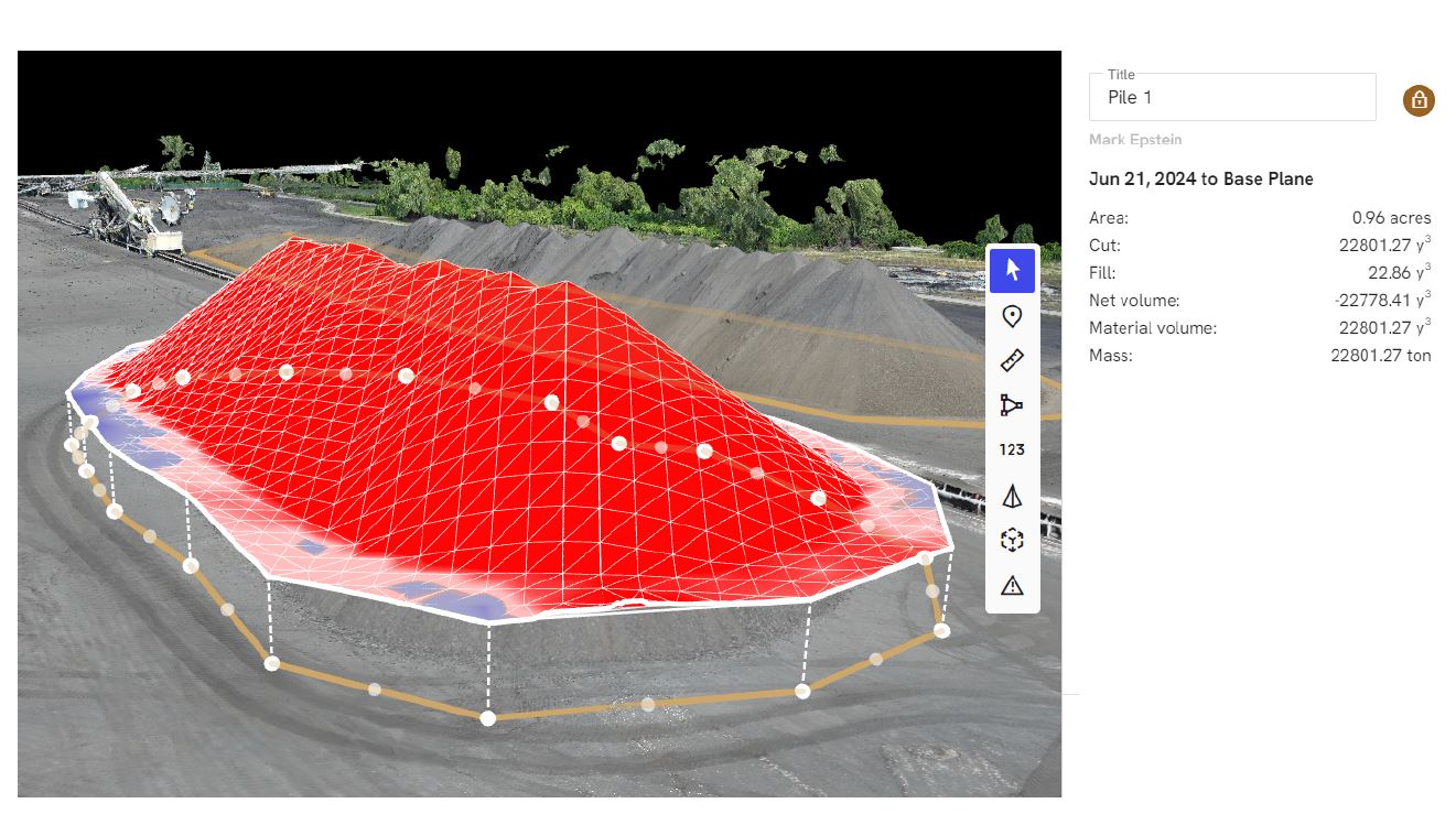
LiDAR and specialized aerial data capture
Each project is approached with the understanding that the final media must serve a business objective. The goal may be to explain, promote, document, train, sell, recruit, or build credibility. The production plan should support that goal from the first shot to the final edit.
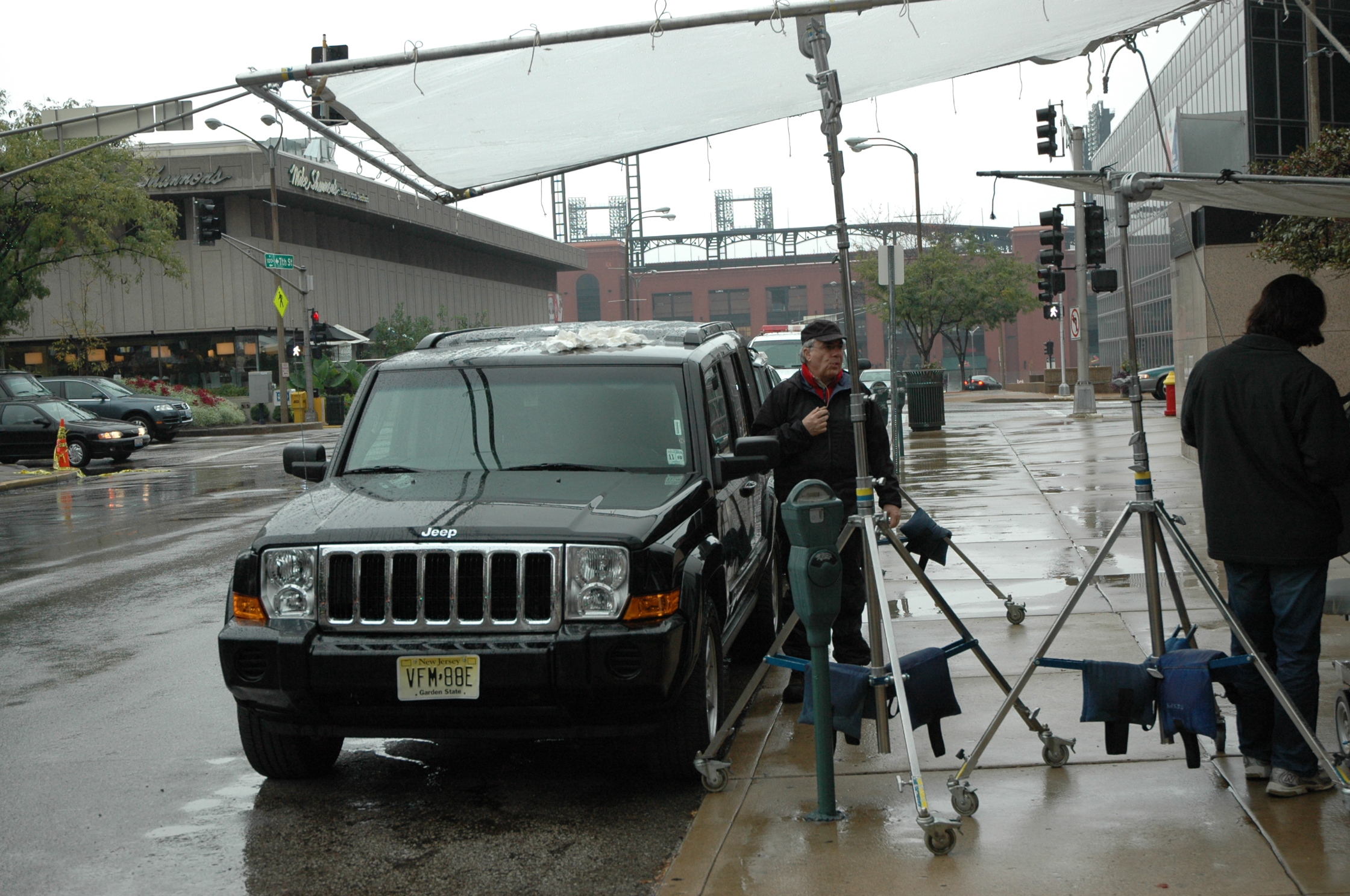
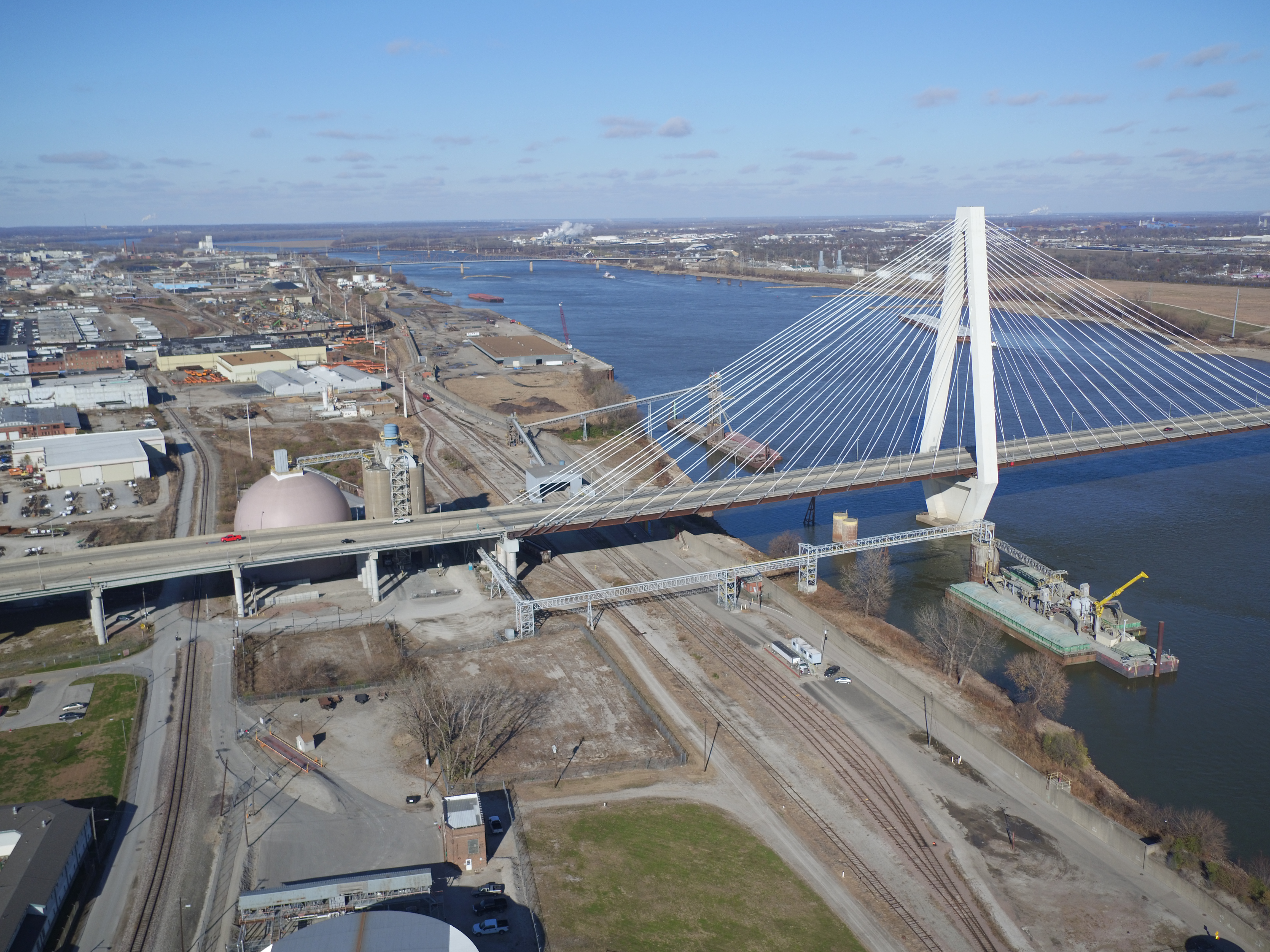
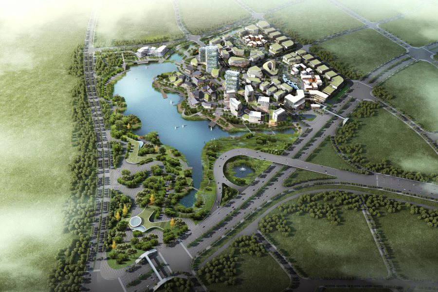
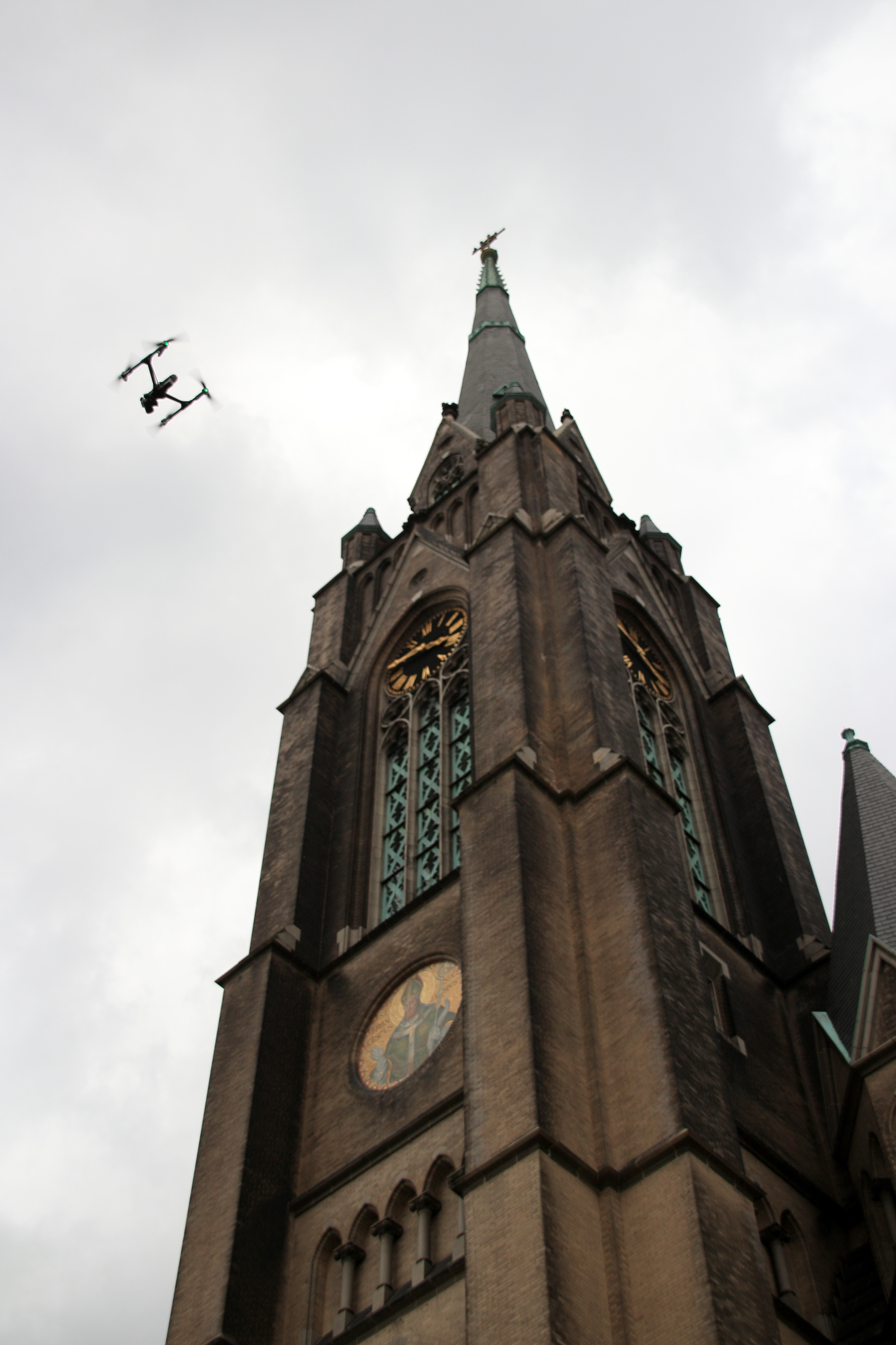
Aerial Video That Adds Scale and Production Value
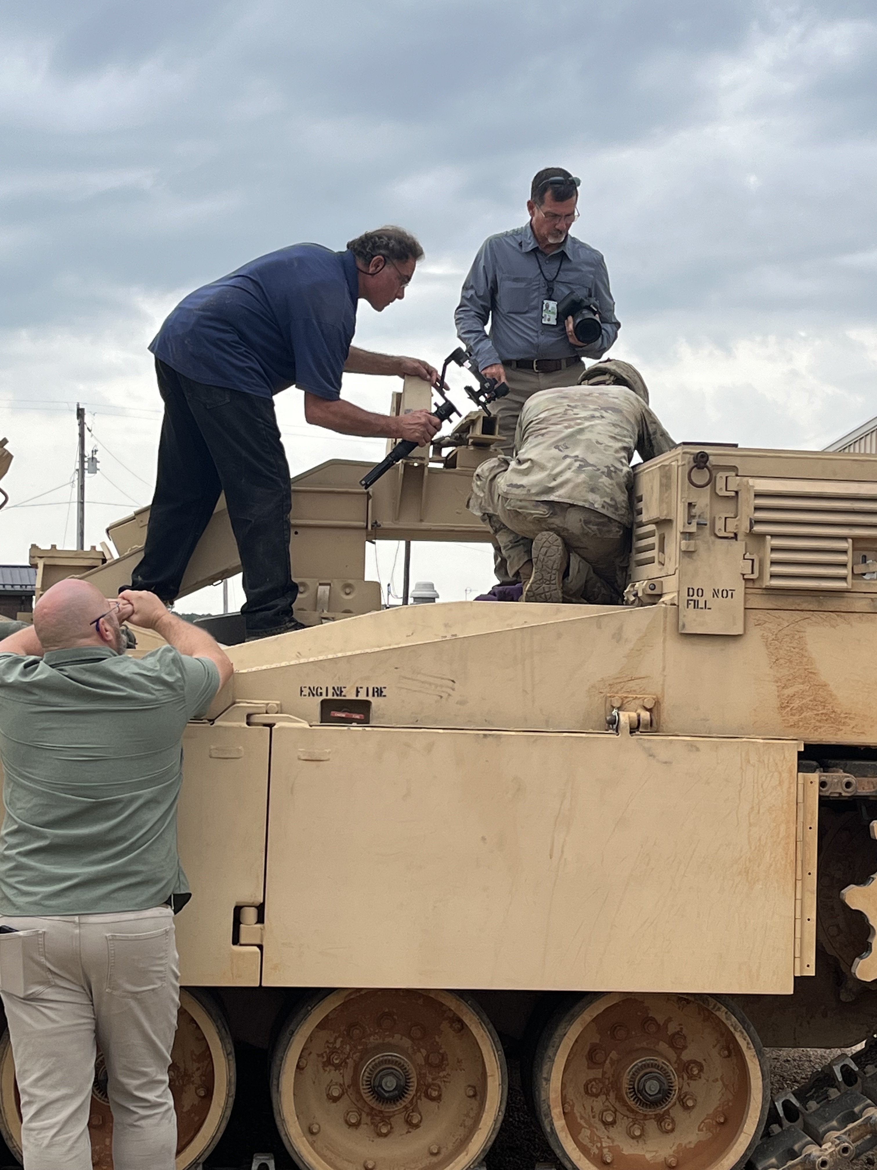
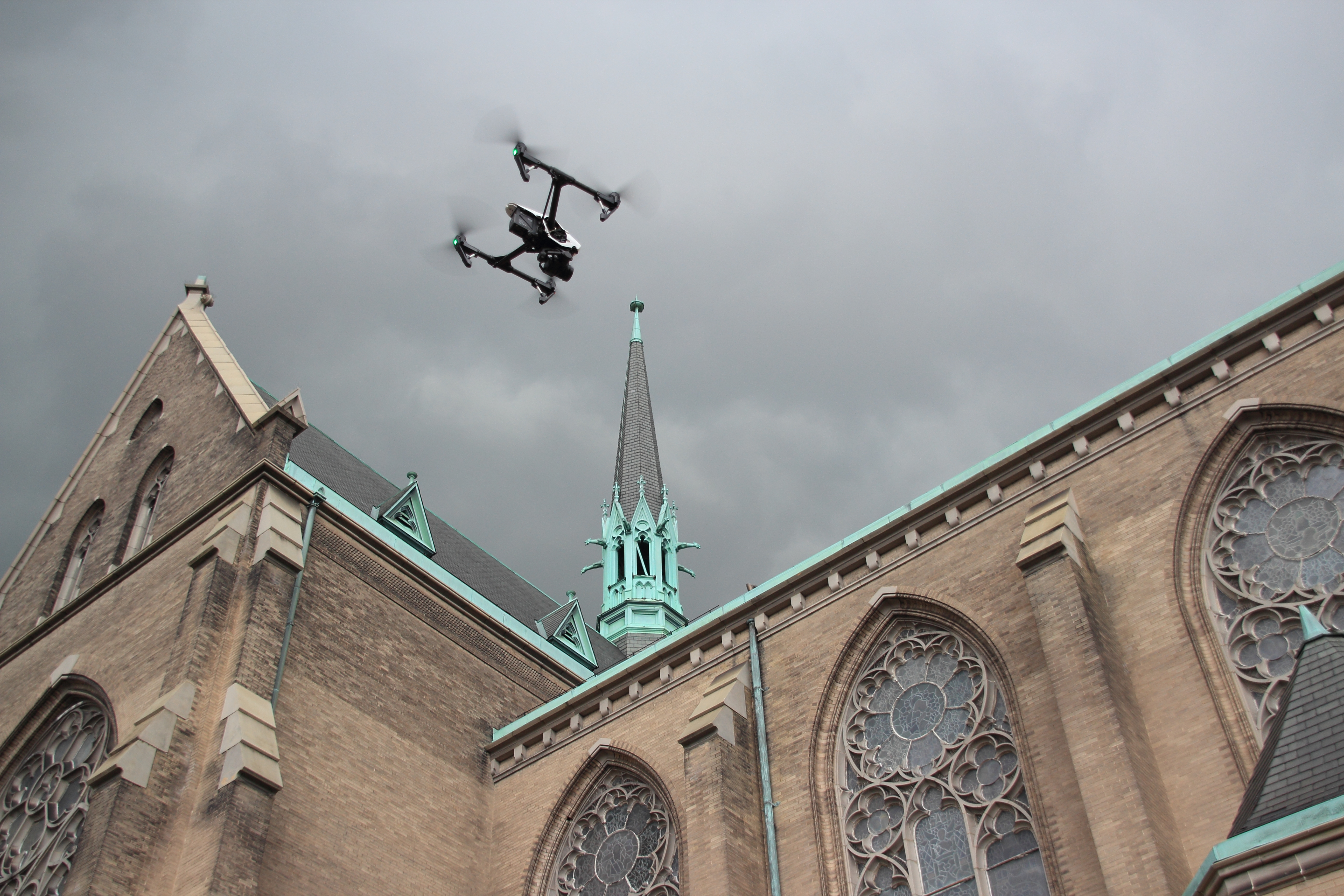
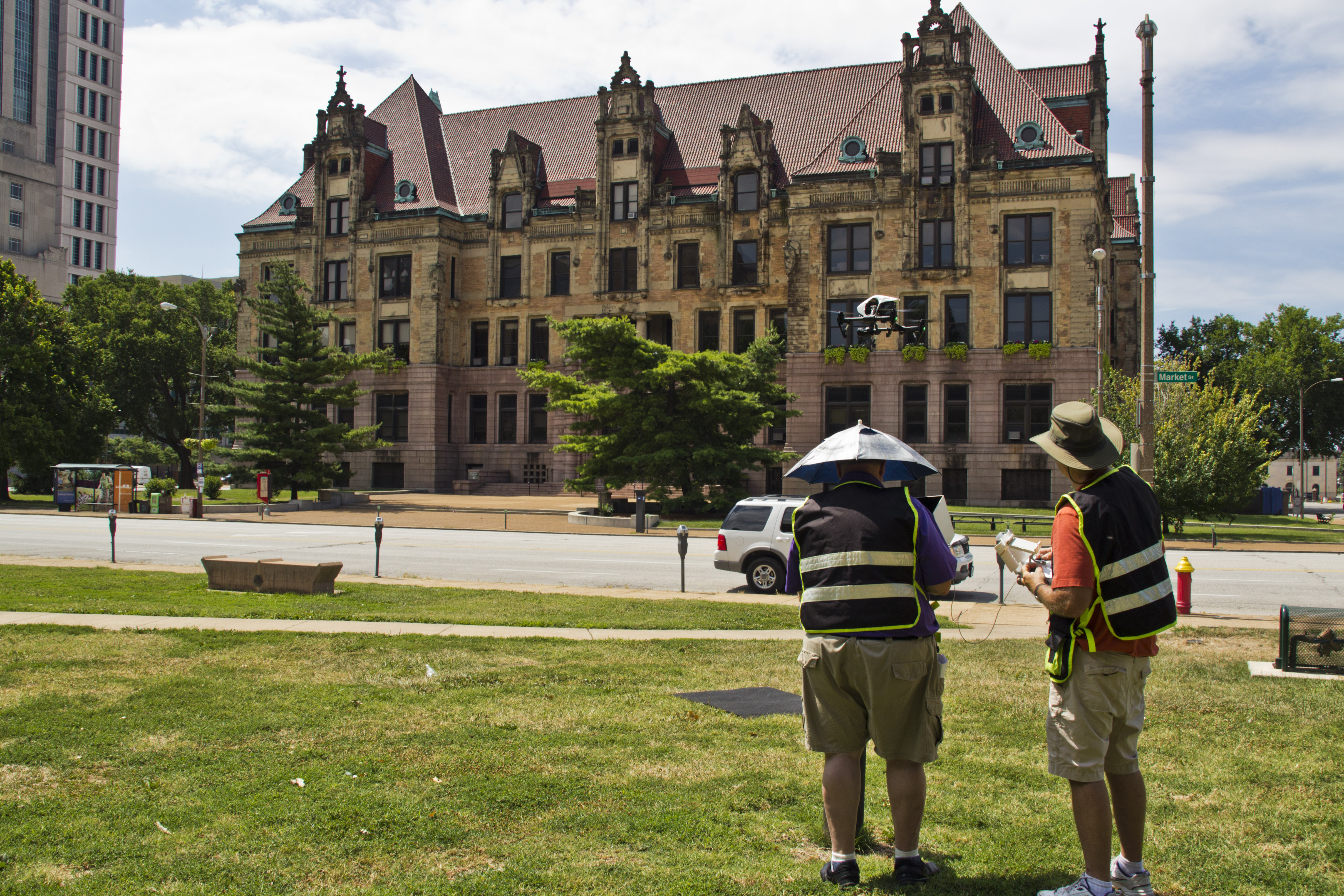
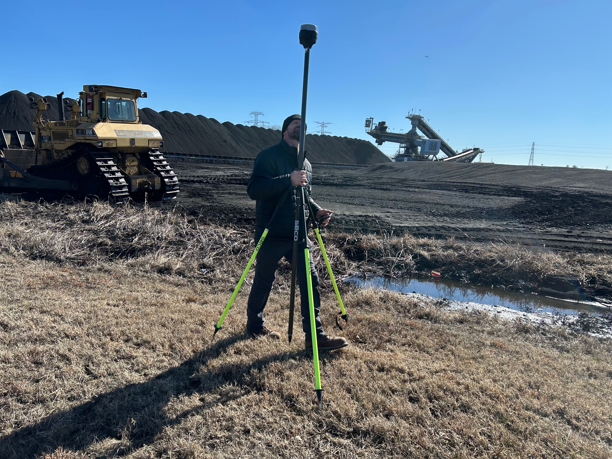
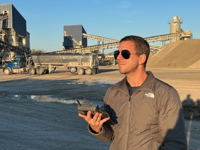
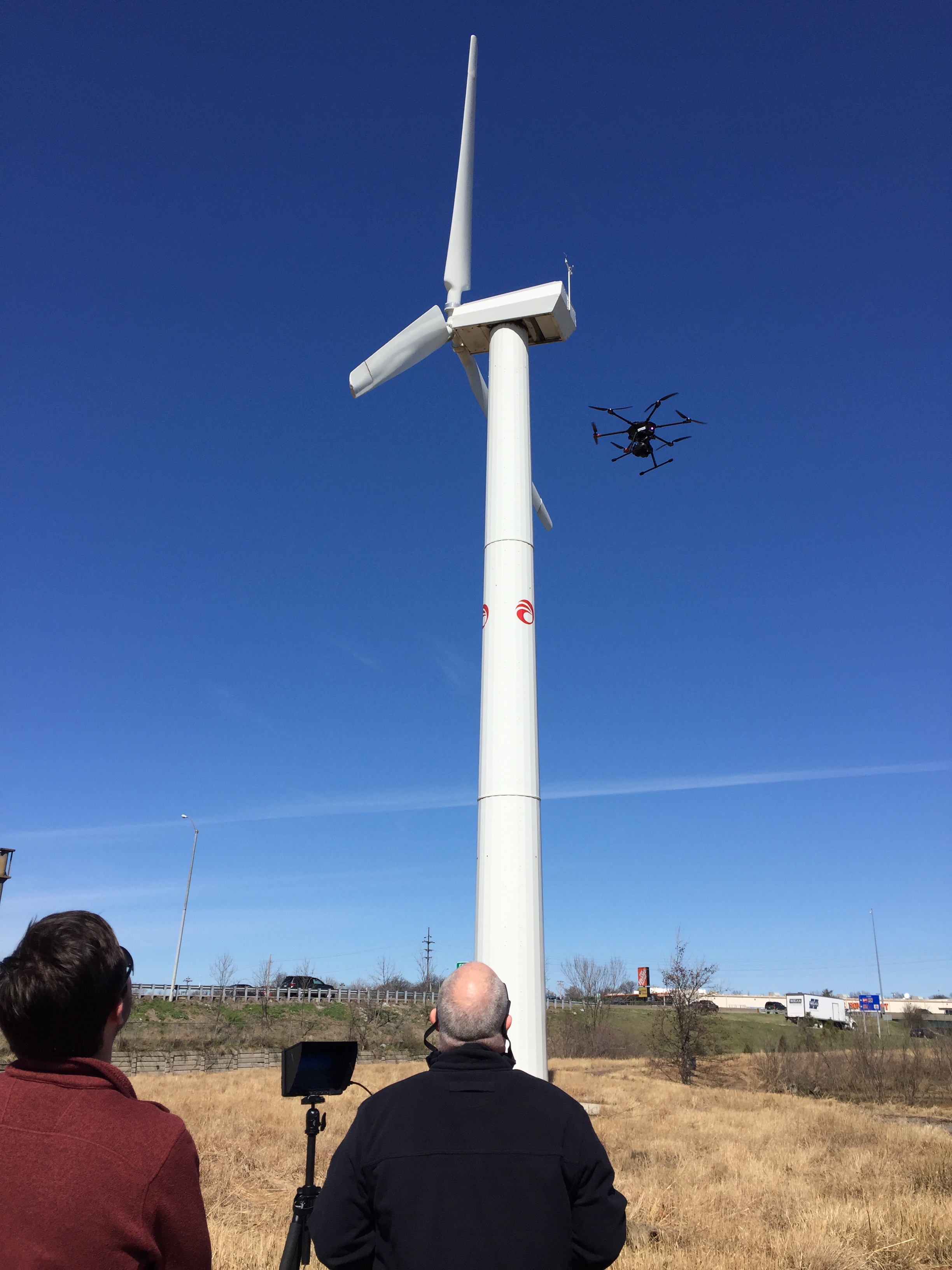
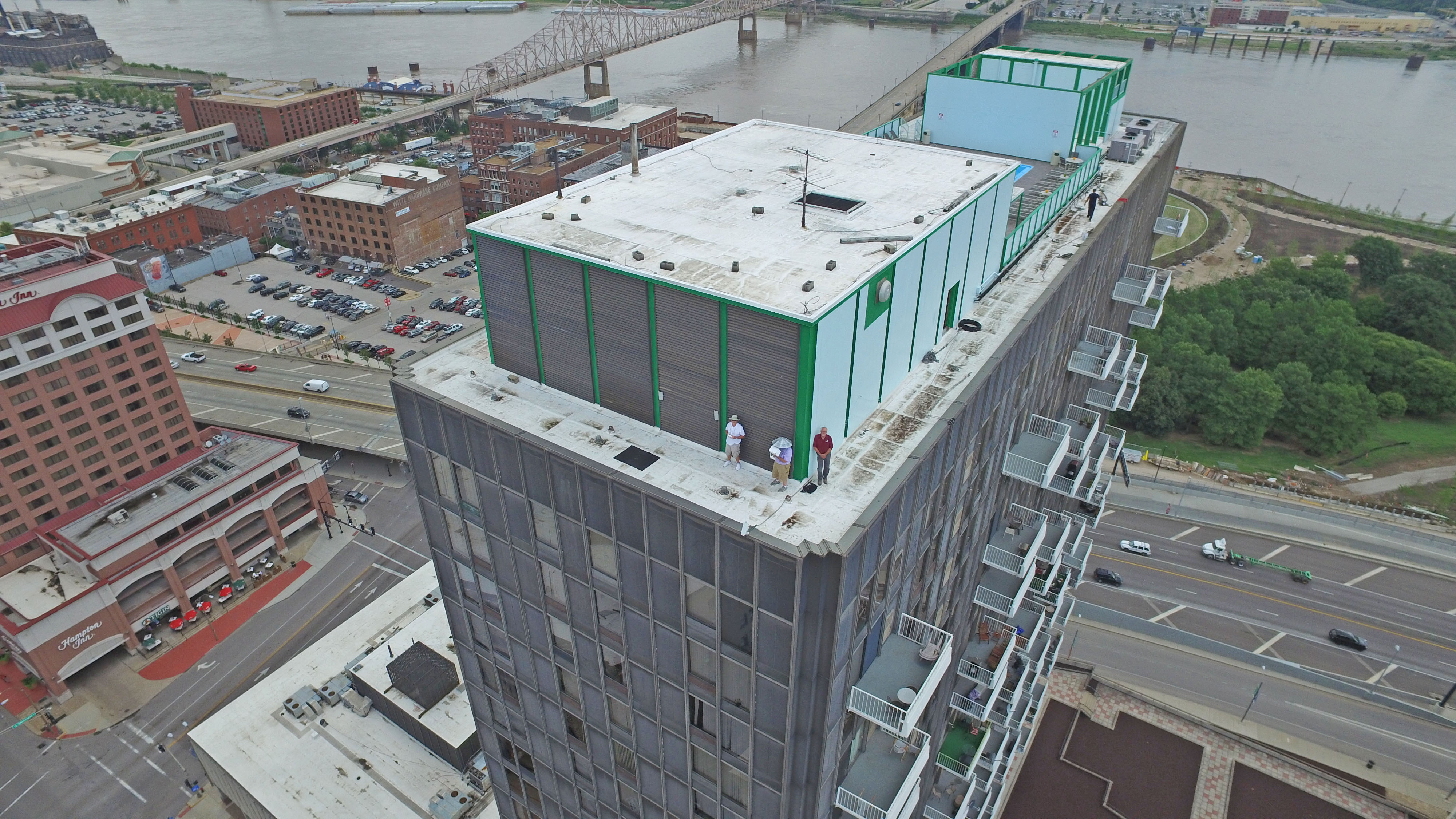
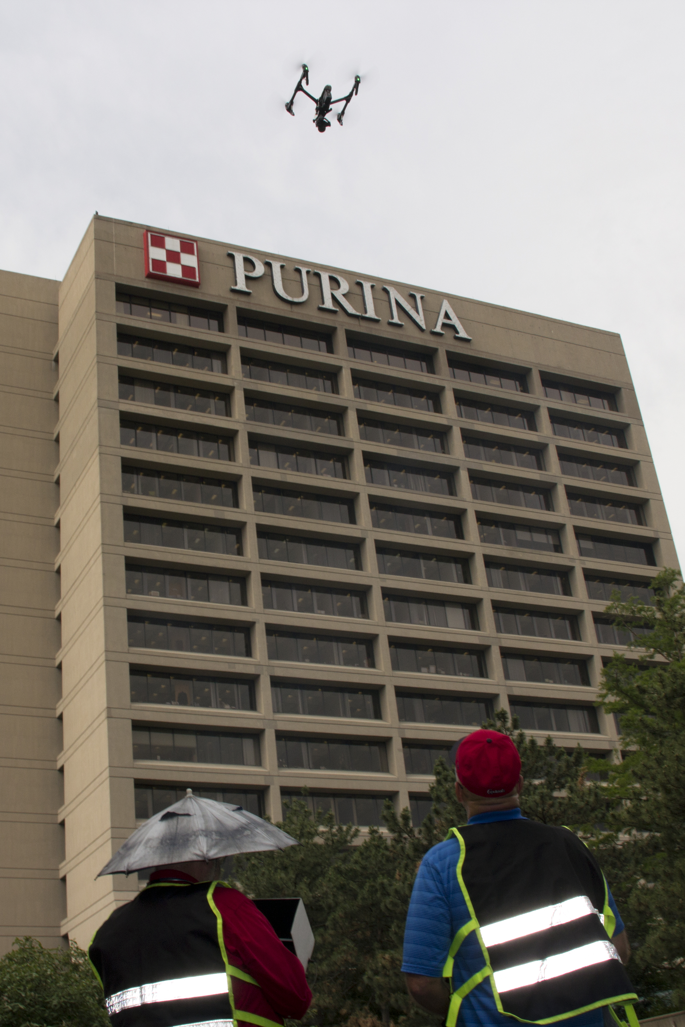
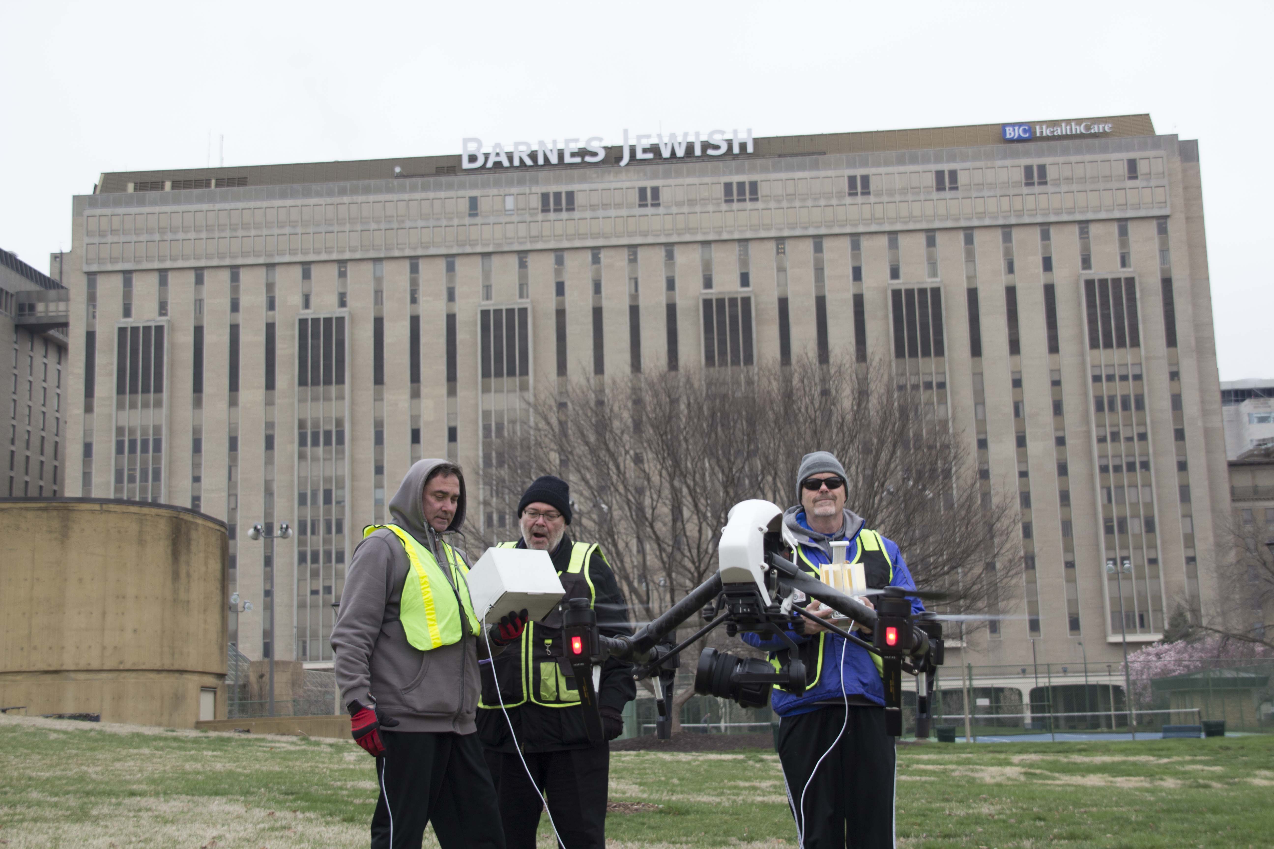
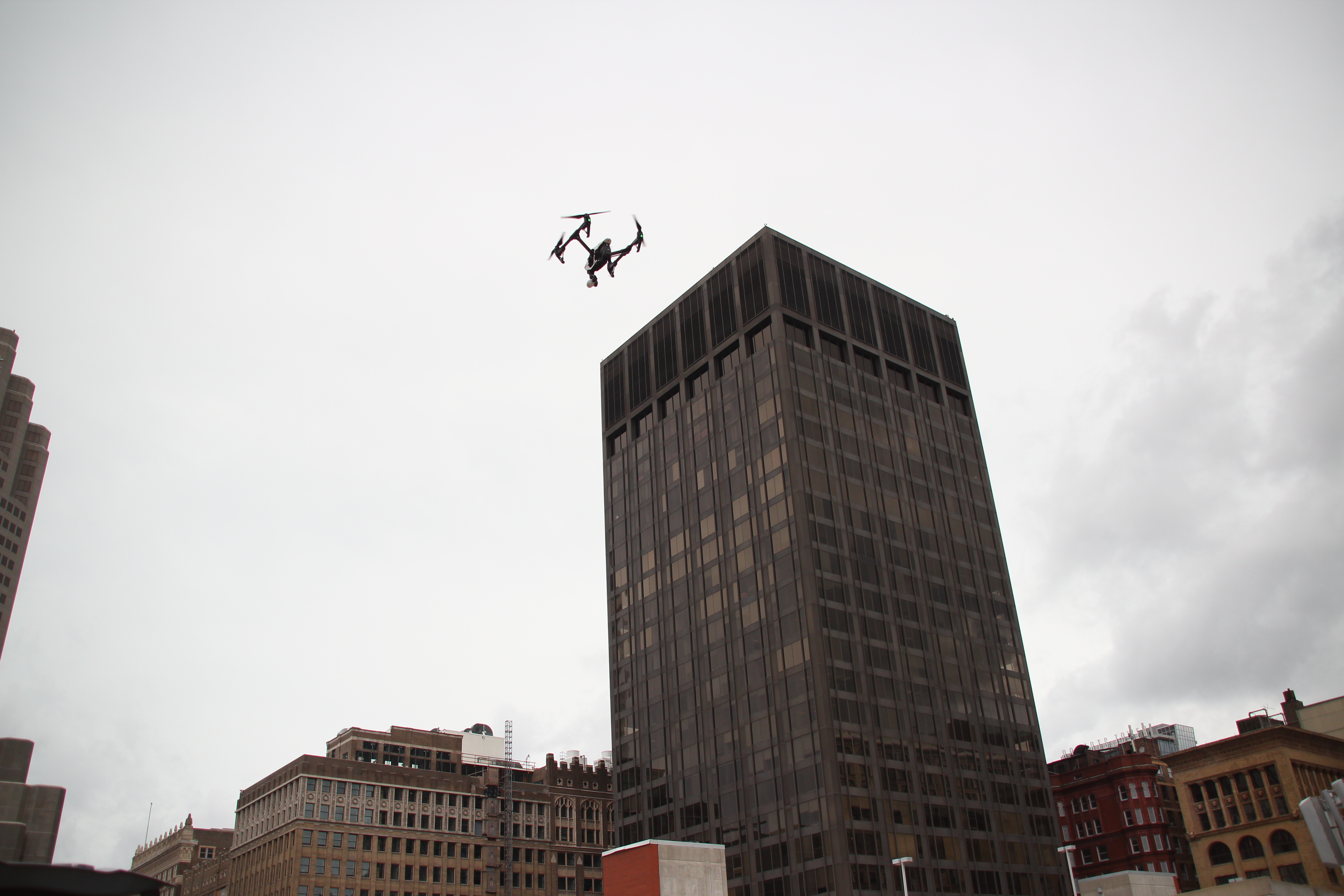
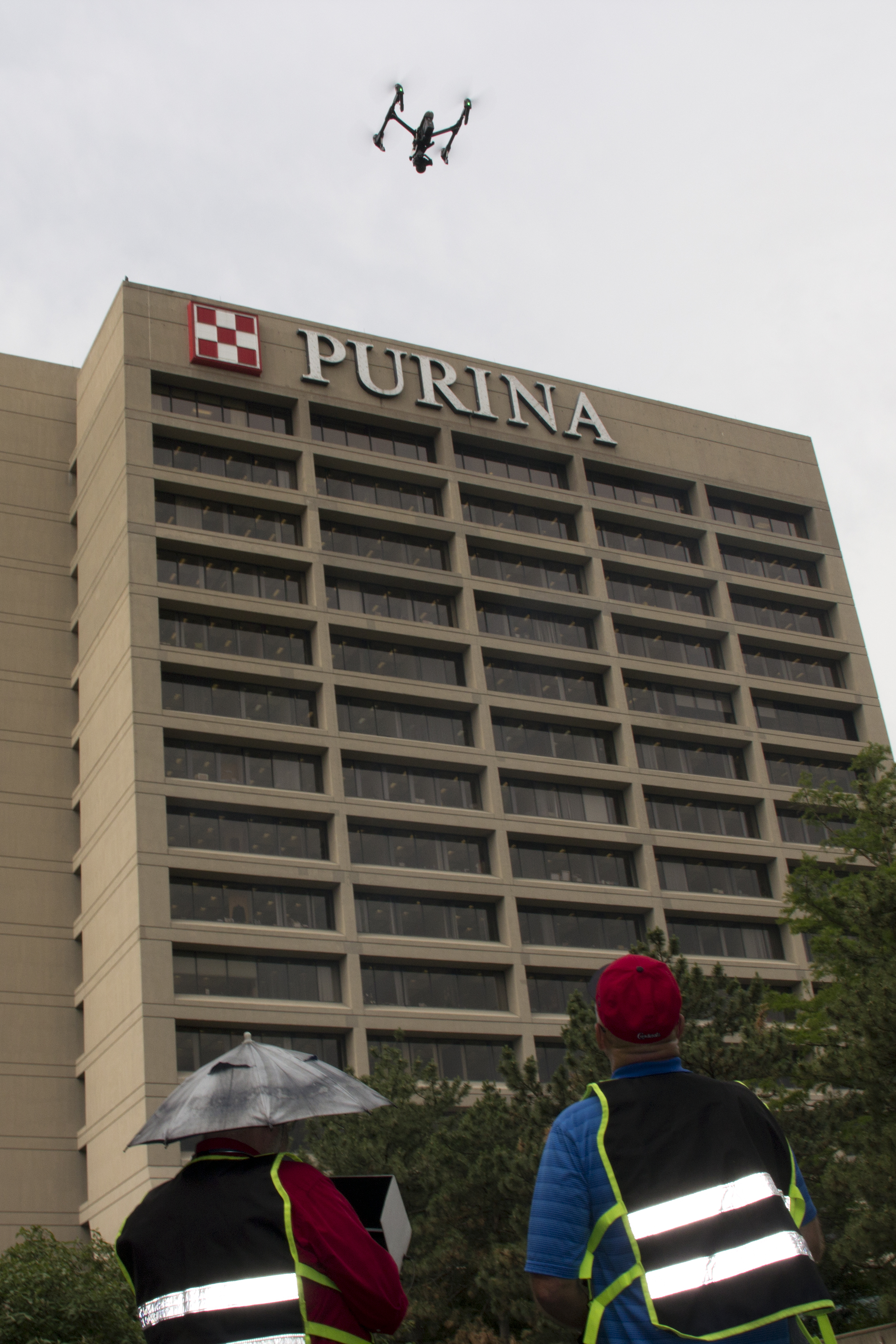
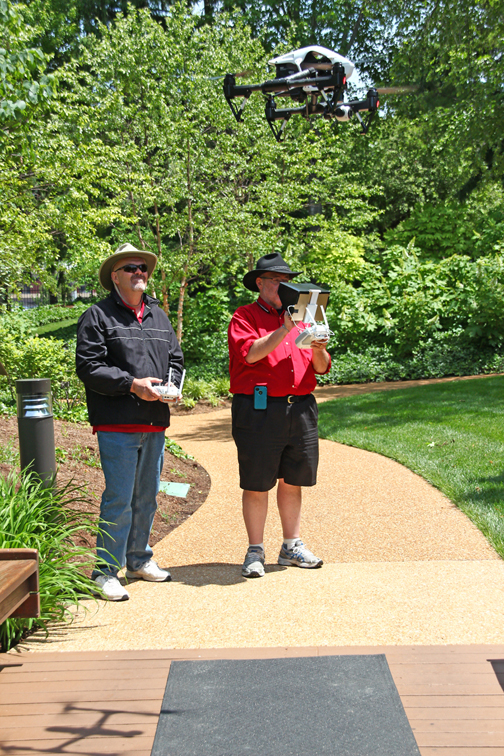
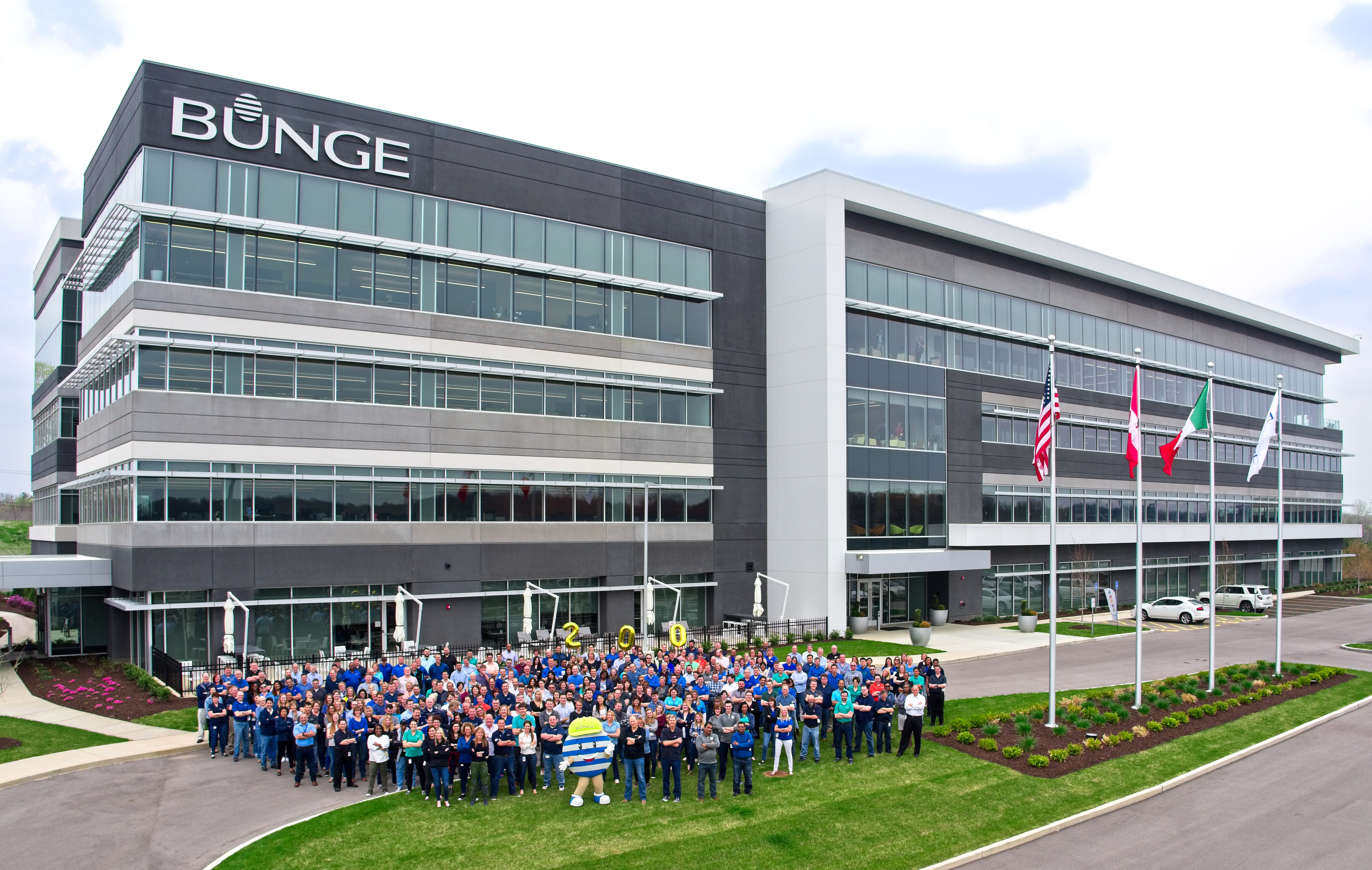
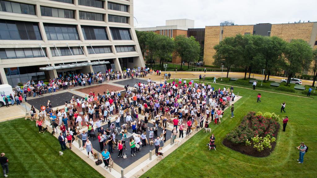
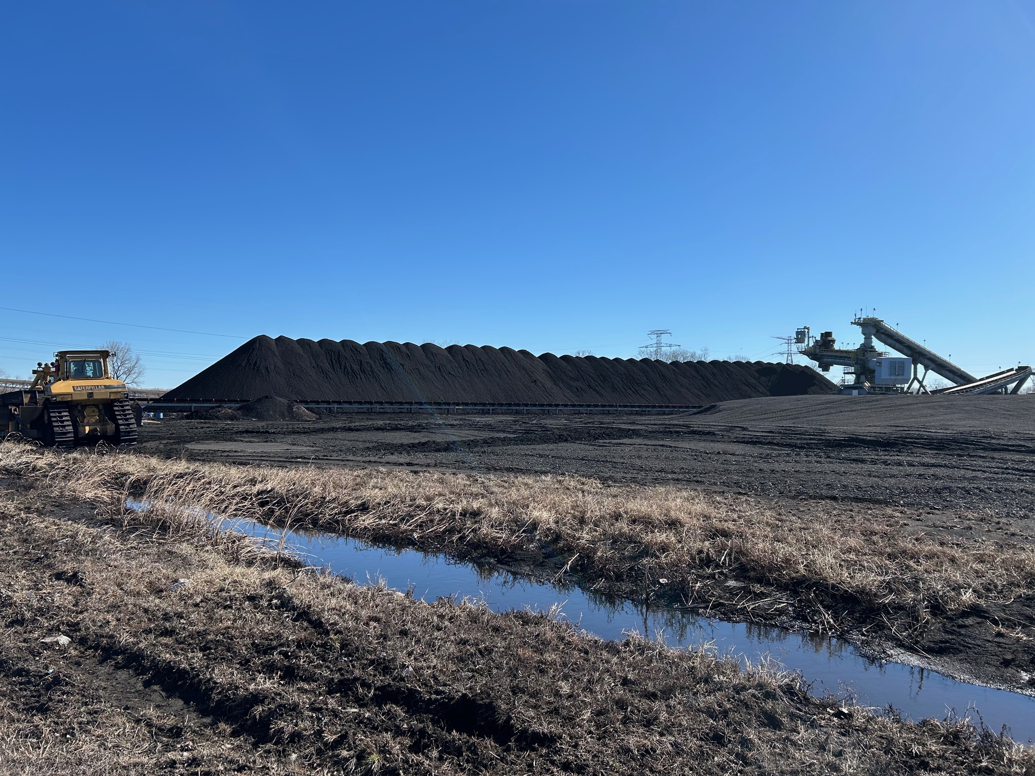
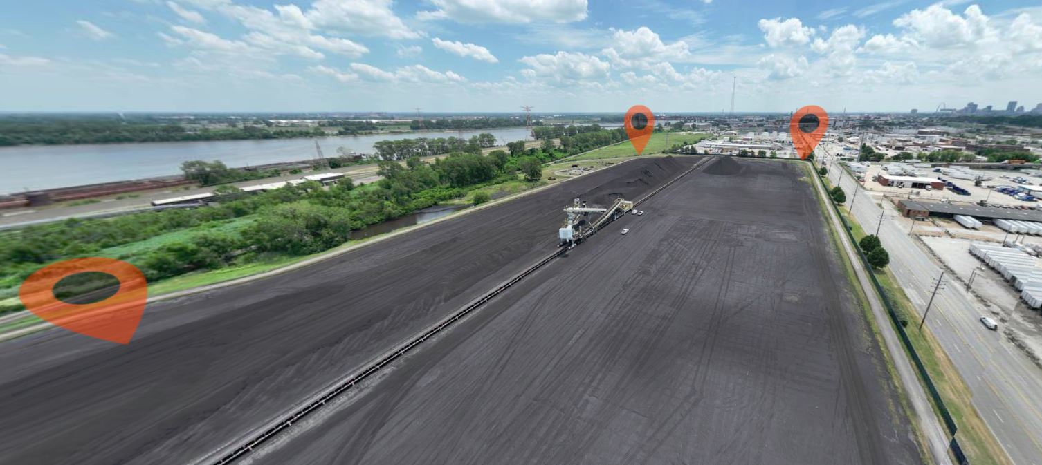
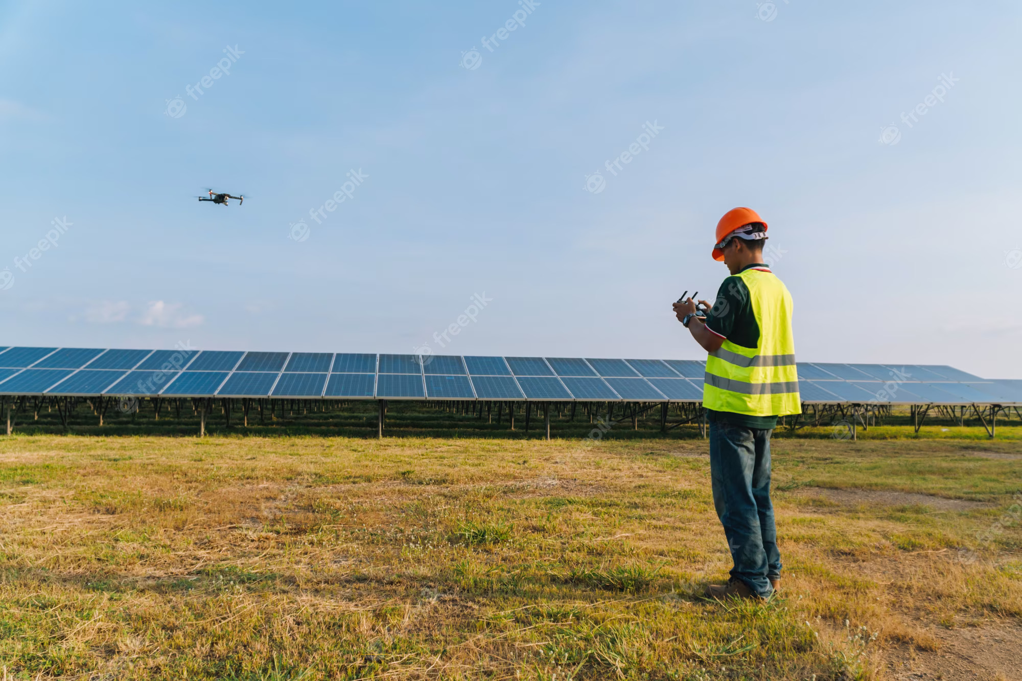
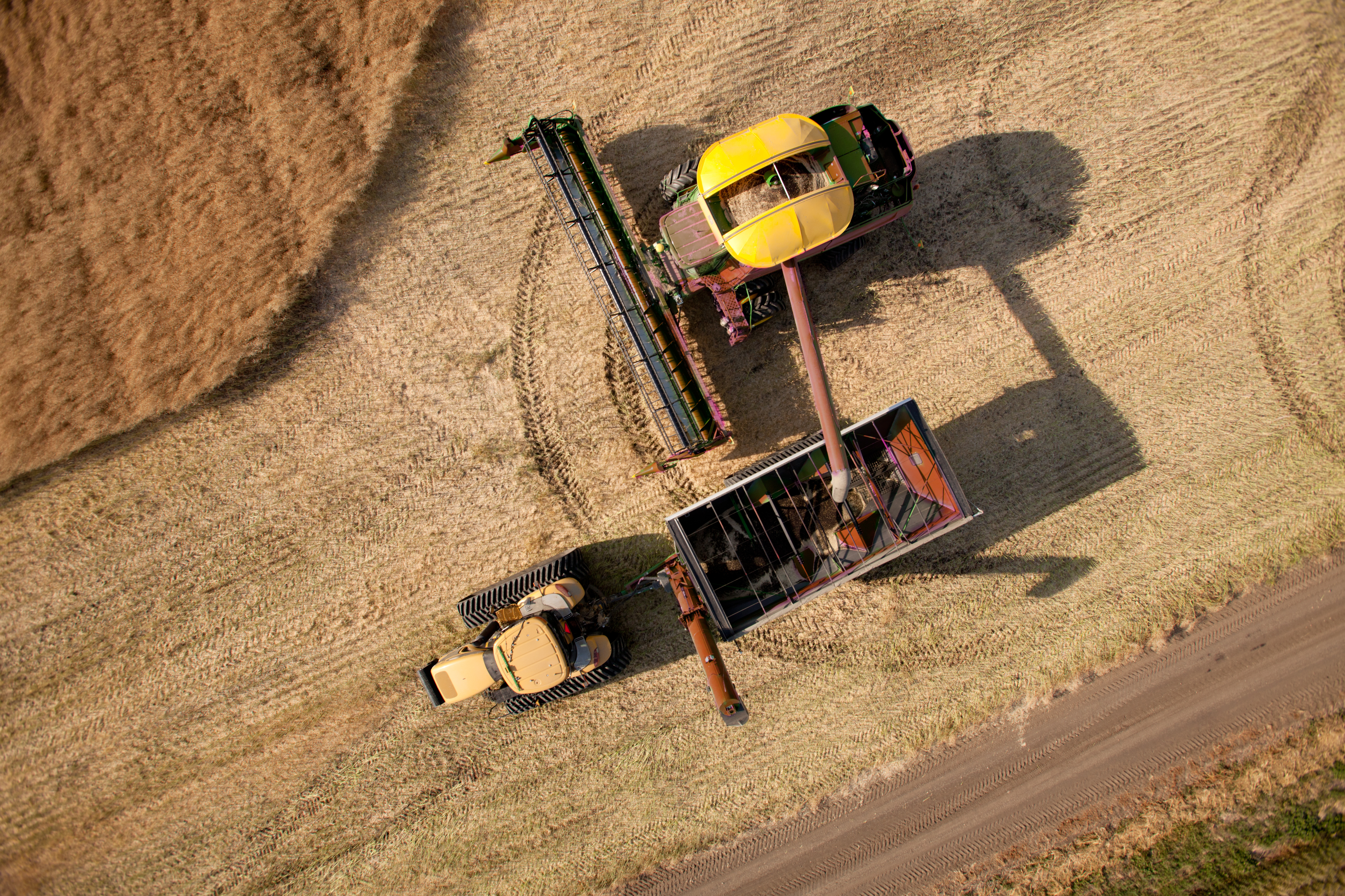
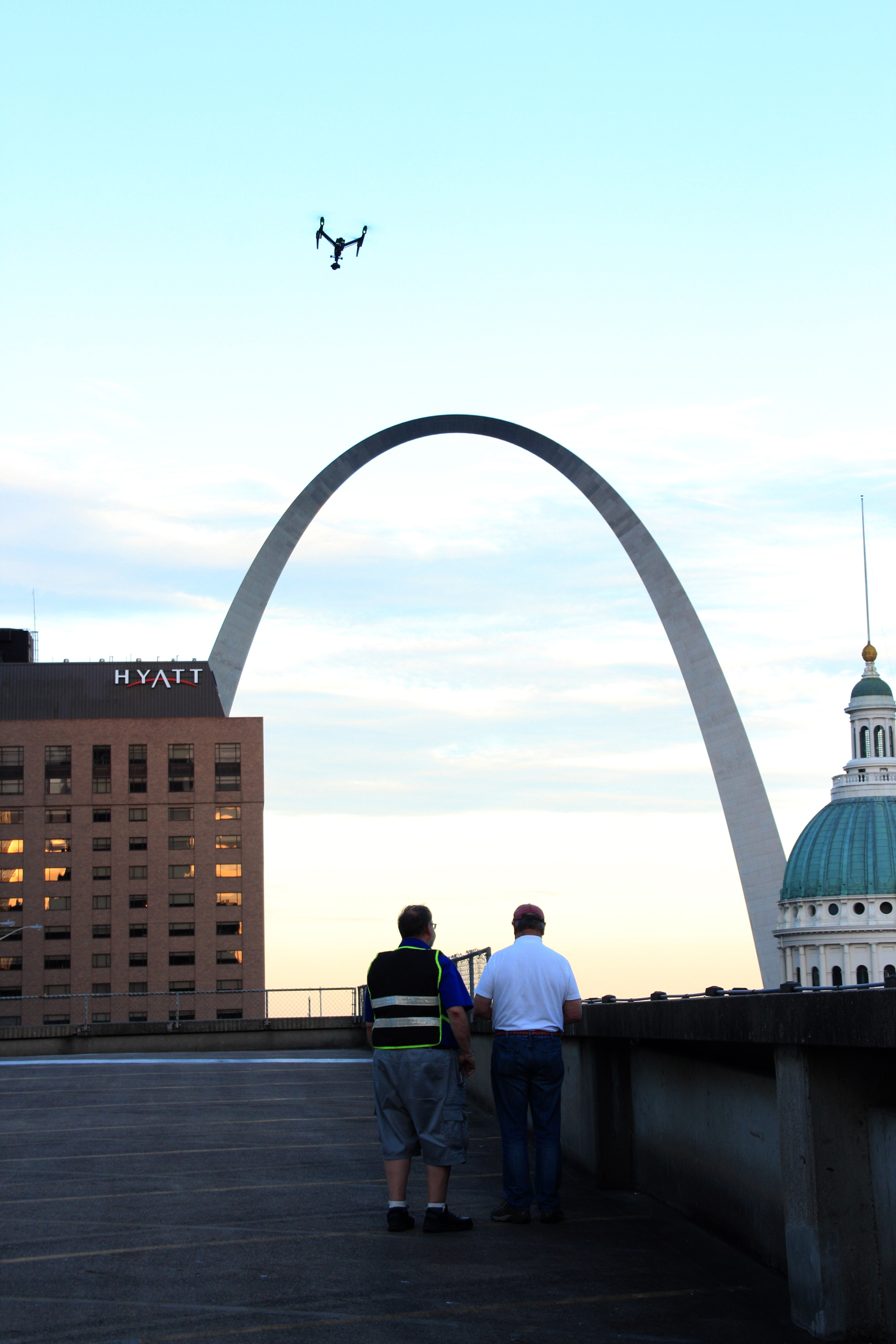
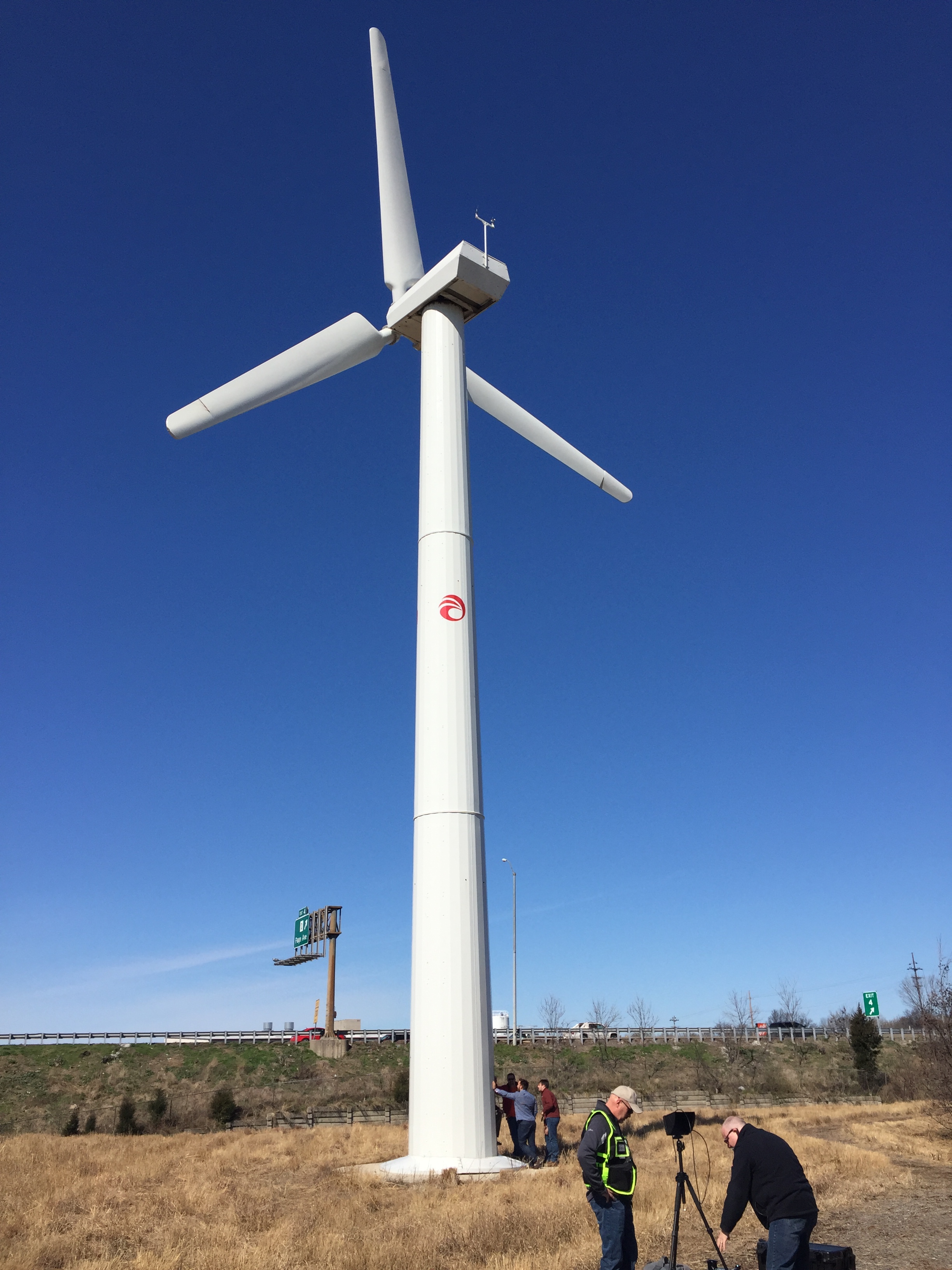
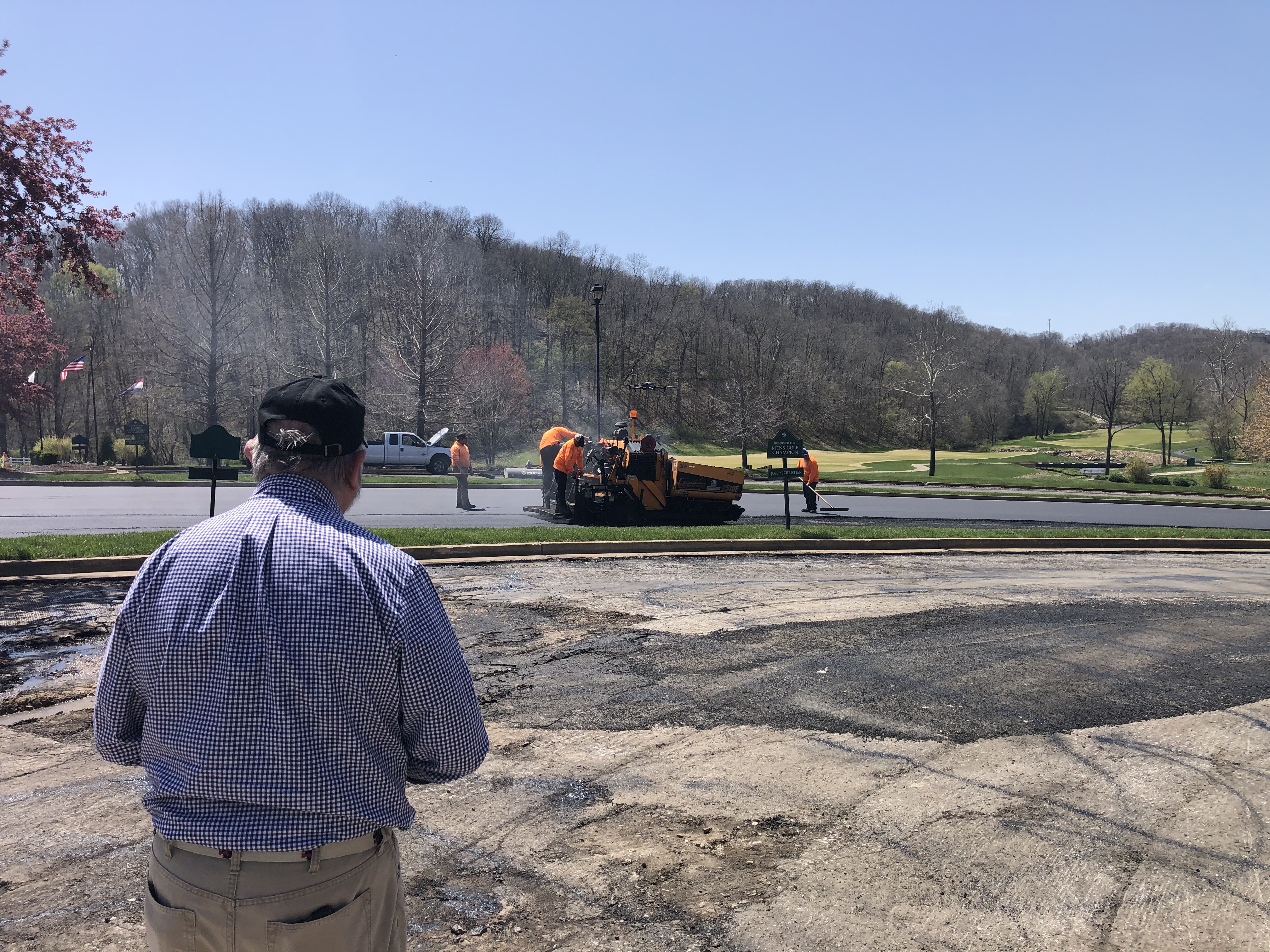
Drone footage is one of the most effective ways to add visual scale to a production. It can show the size of a facility, the layout of a property, the movement of people and vehicles, the progress of construction, or the relationship between a location and its surrounding area.

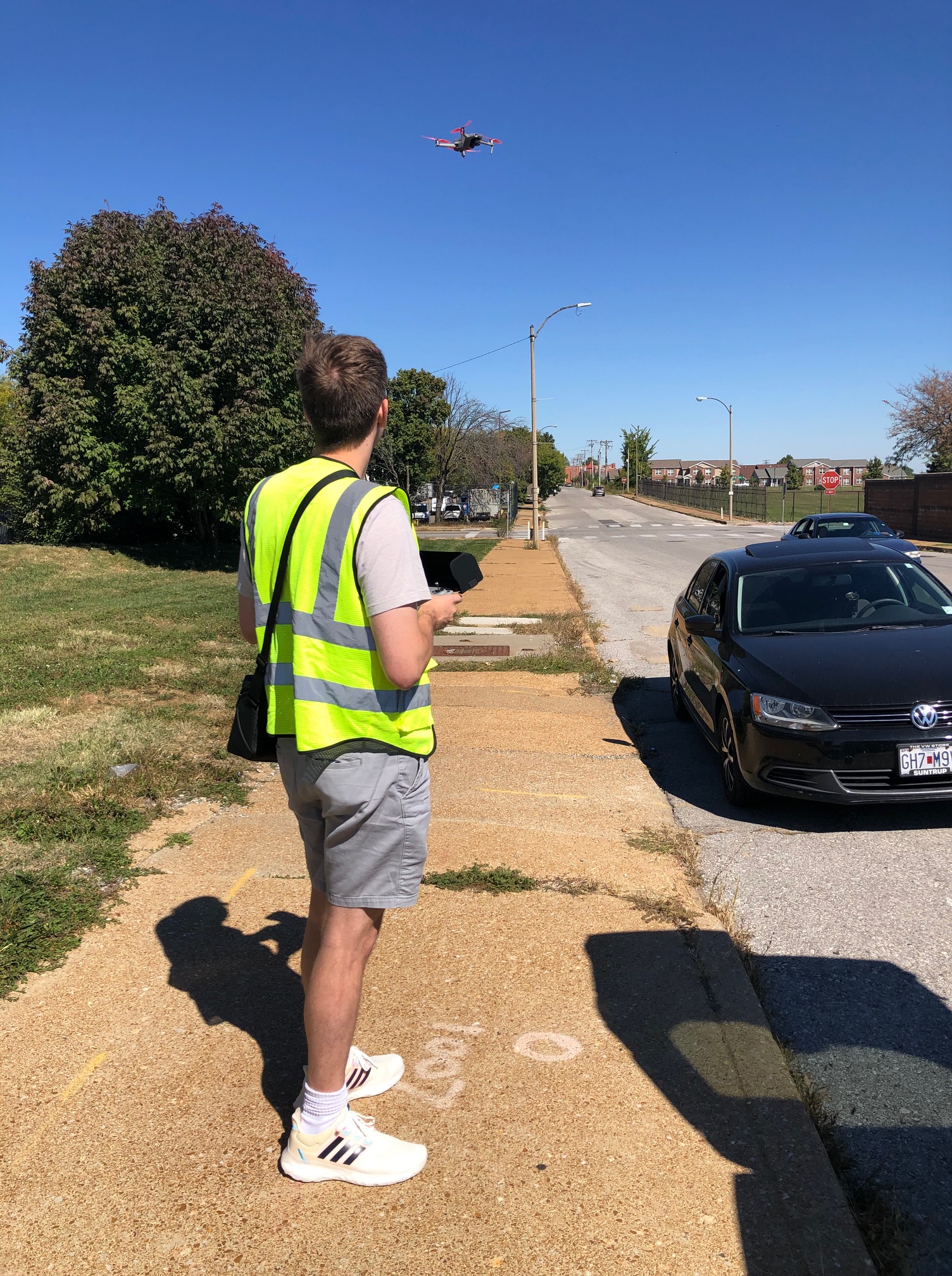
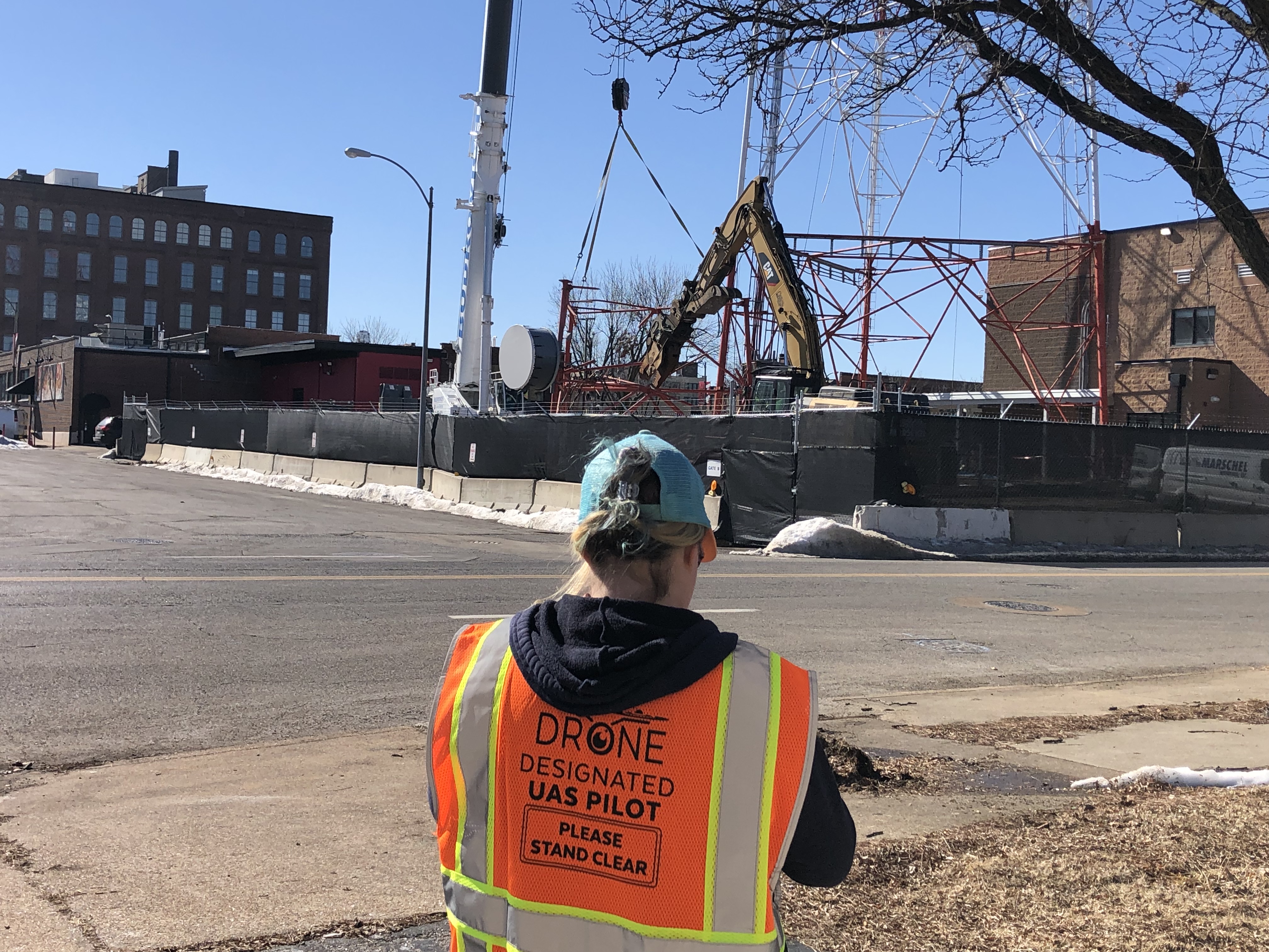
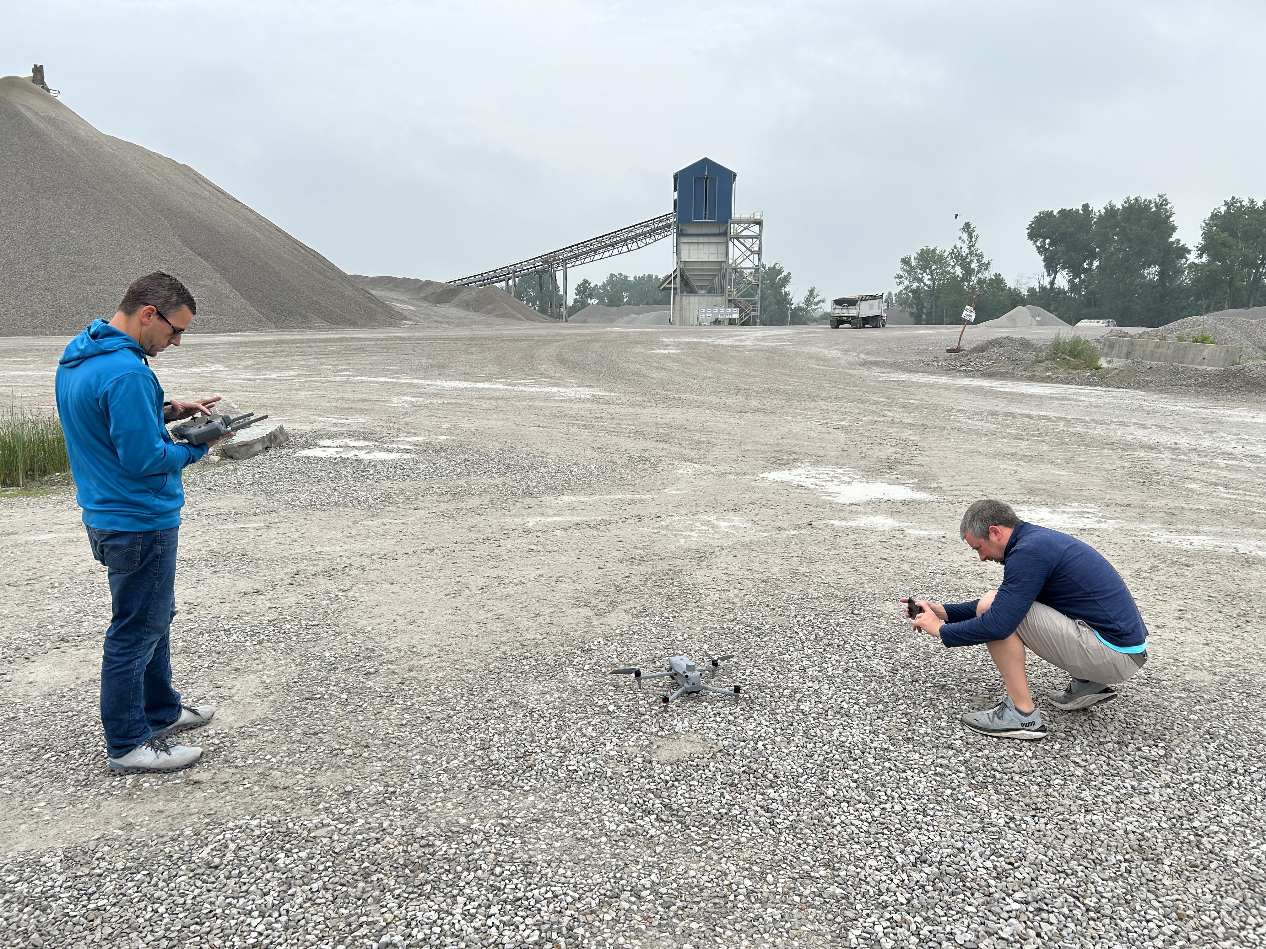
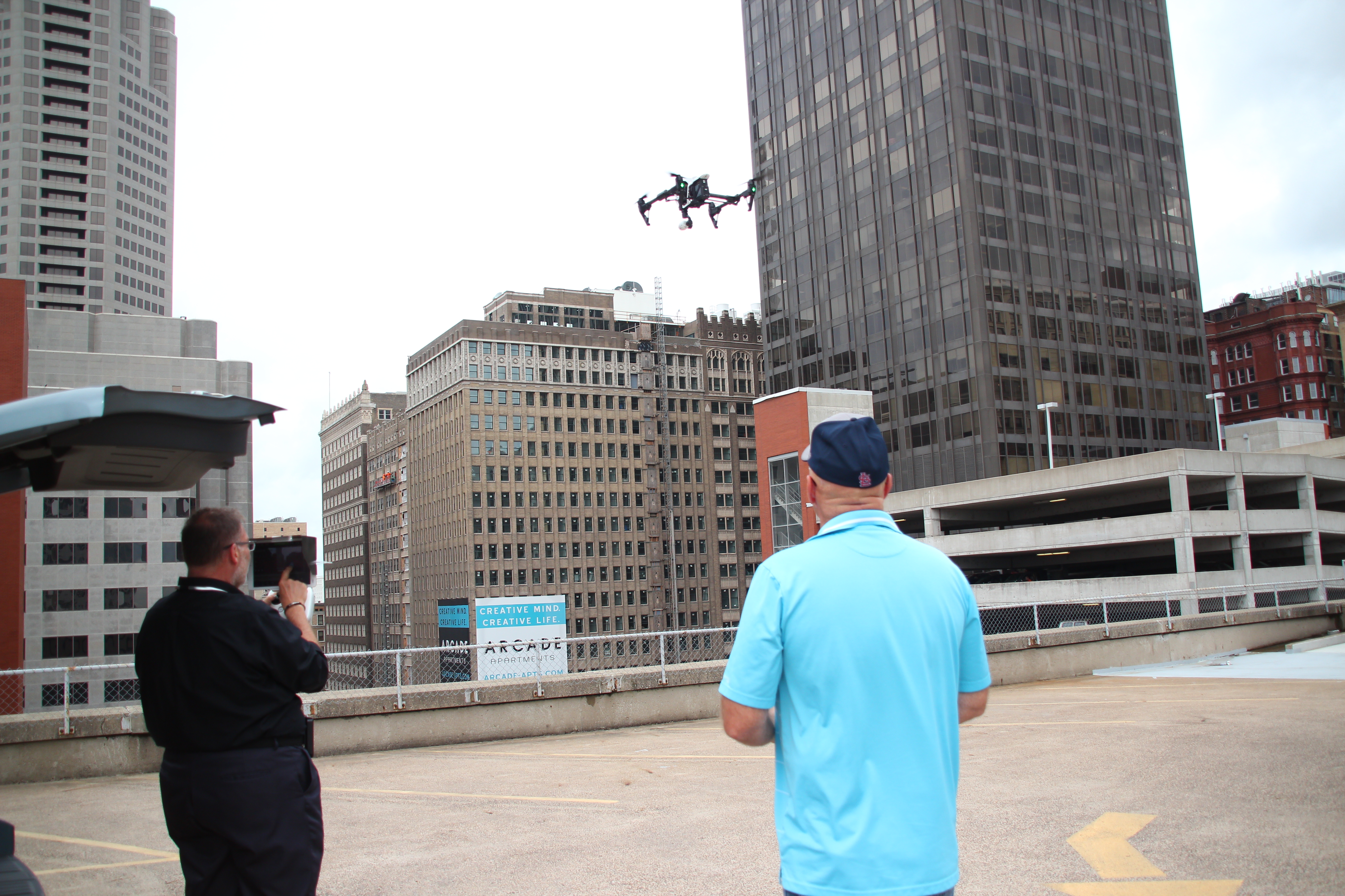
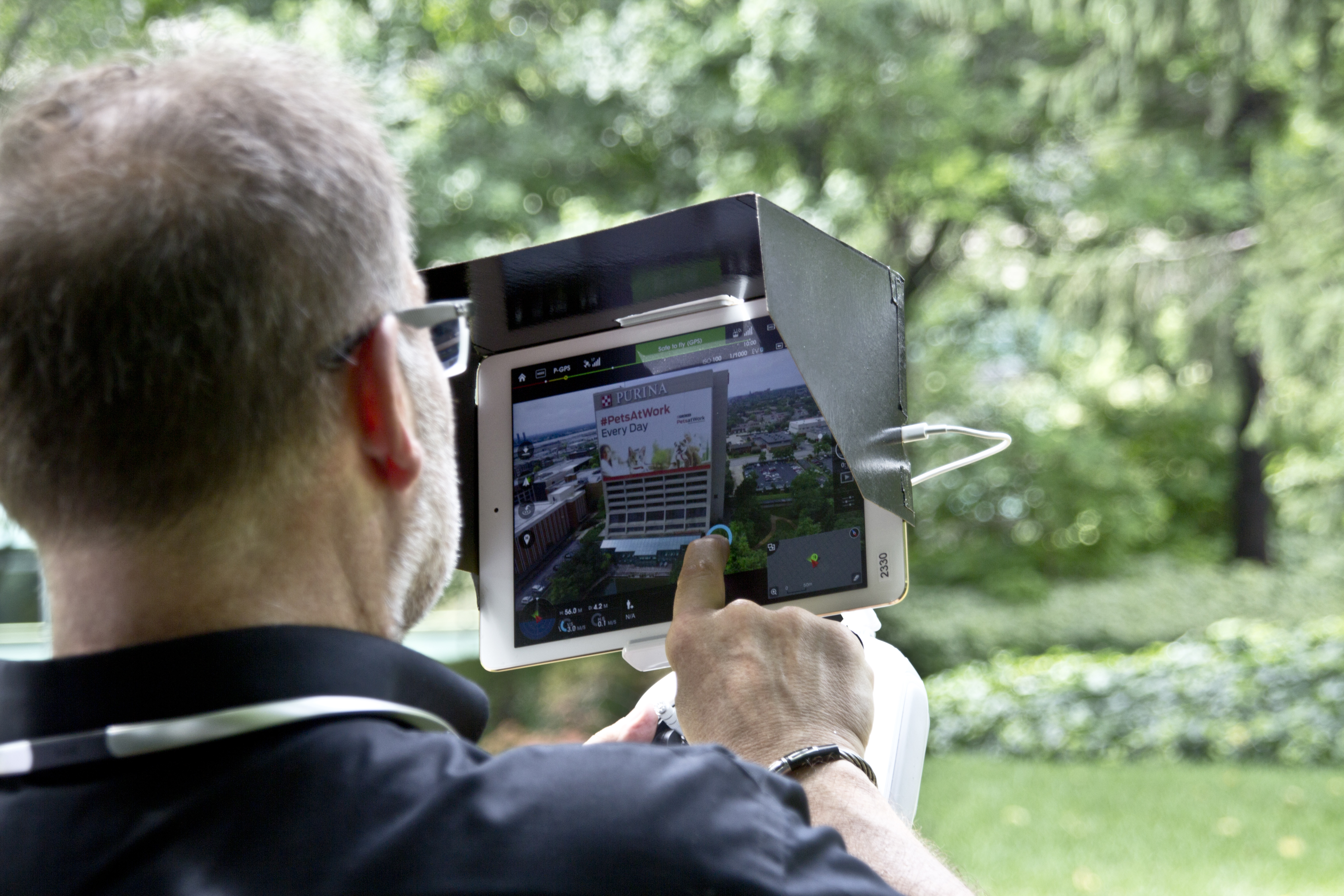
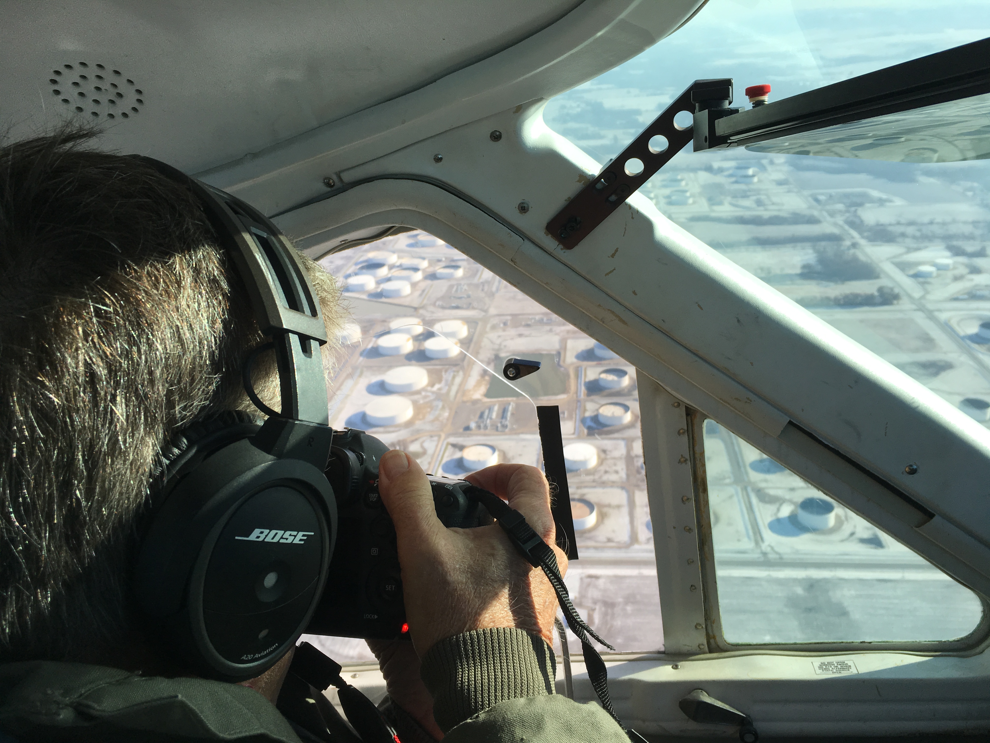
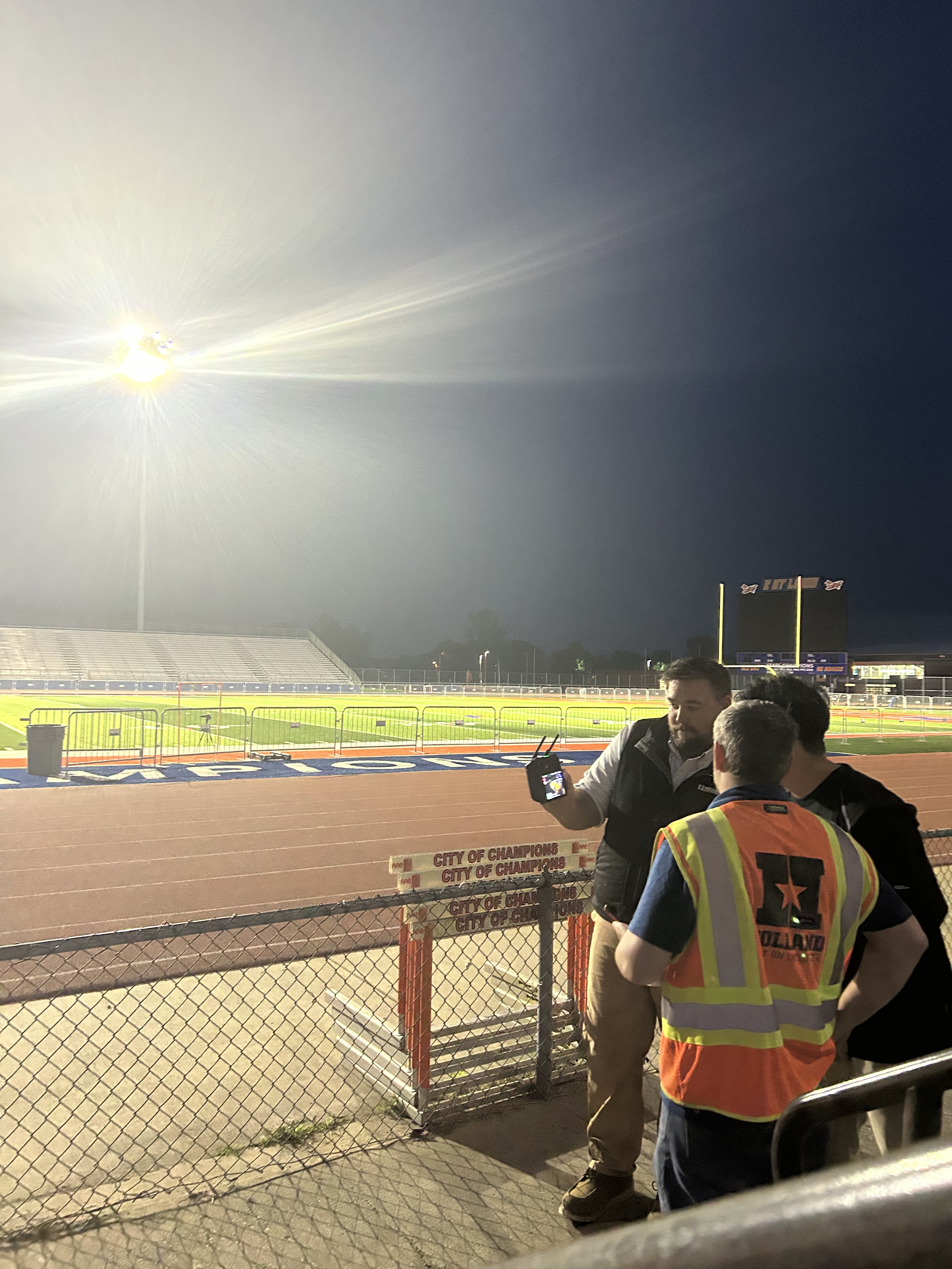
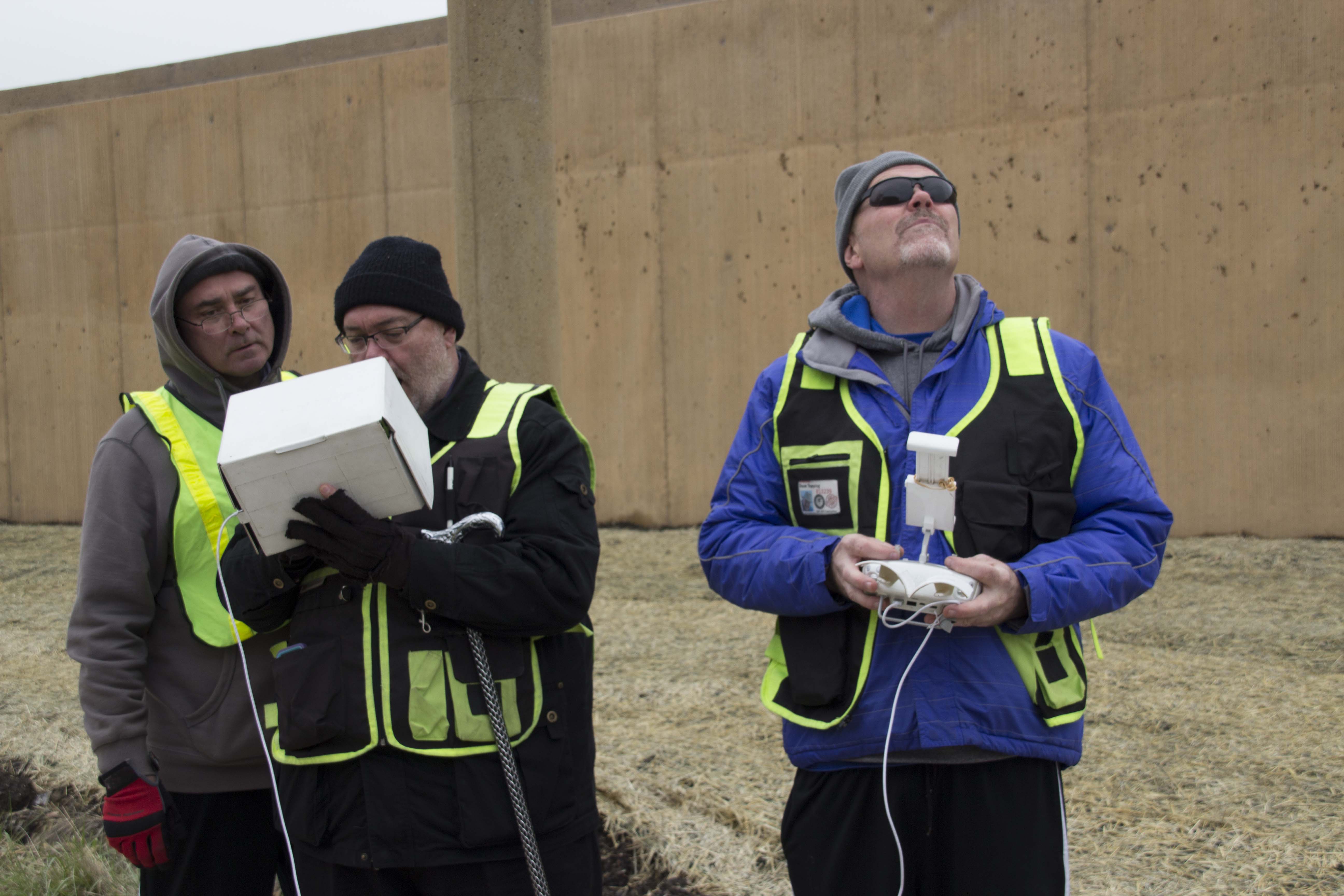
St Louis Aerial Photography provides licensed drone services for projects that need professional aerial photography and video. We understand the importance of safe flight operations, proper planning, FAA-compliant procedures, and coordination with property owners, municipalities, agencies, and production teams when needed.
Aerial production can be especially valuable for:
Commercial real estate marketing
Construction and development projects
Corporate campuses and facilities
Healthcare and educational institutions
Manufacturing and industrial sites
Tourism, hospitality, and event promotions
Public works and infrastructure documentation
Brand storytelling and promotional campaigns
When combined with ground-based footage, aerial visuals help create a polished, high-value production that gives viewers a better understanding of the subject.
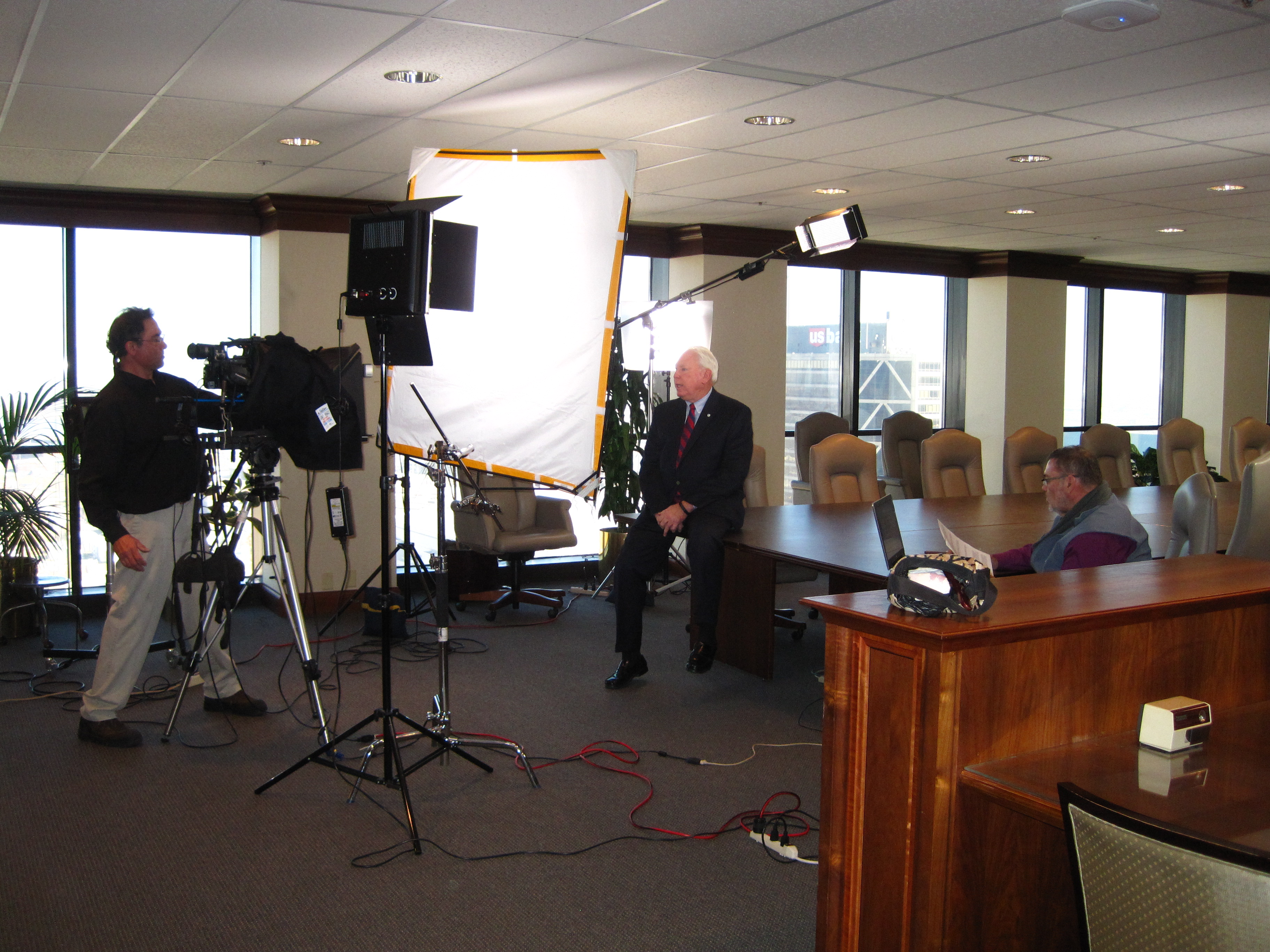
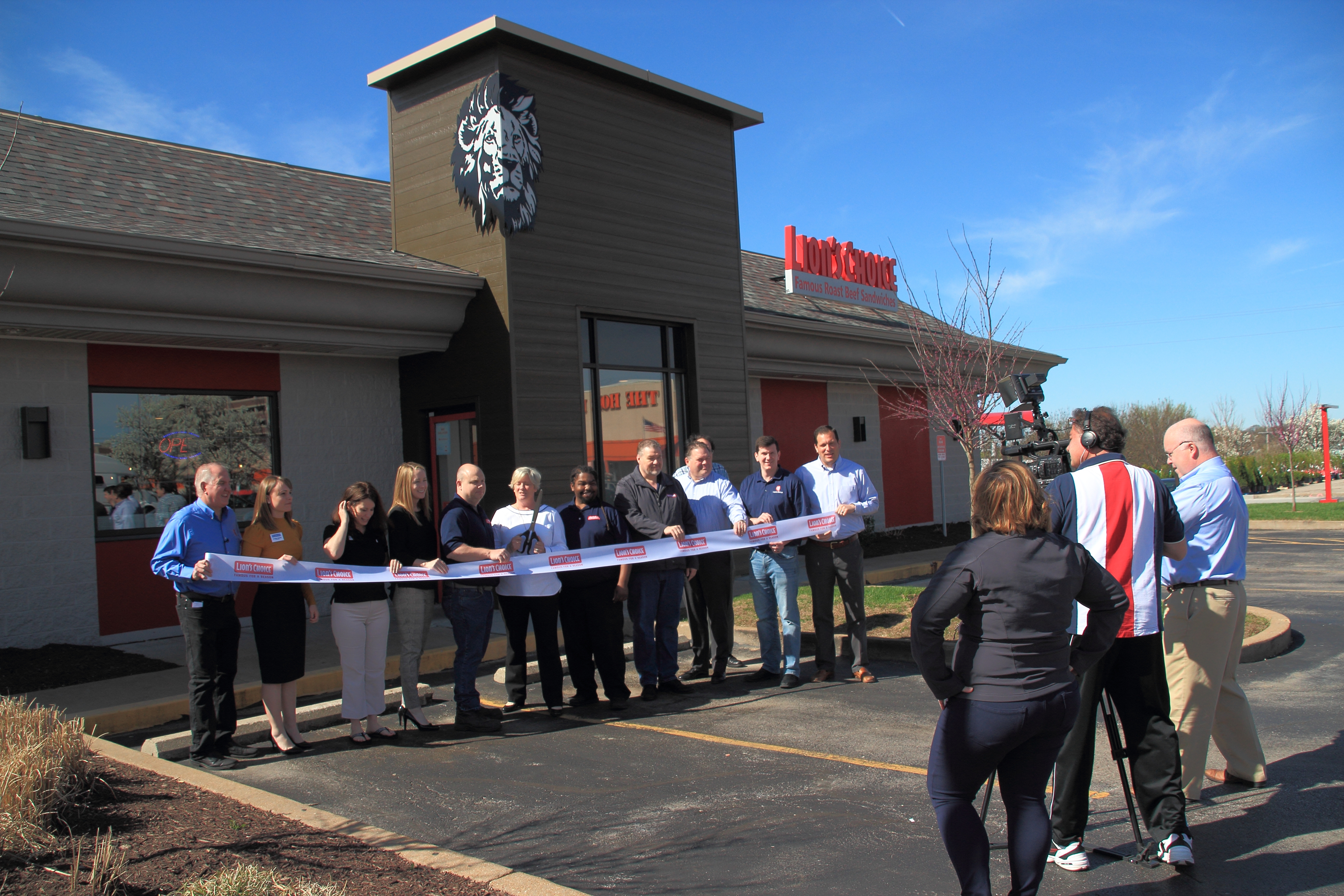
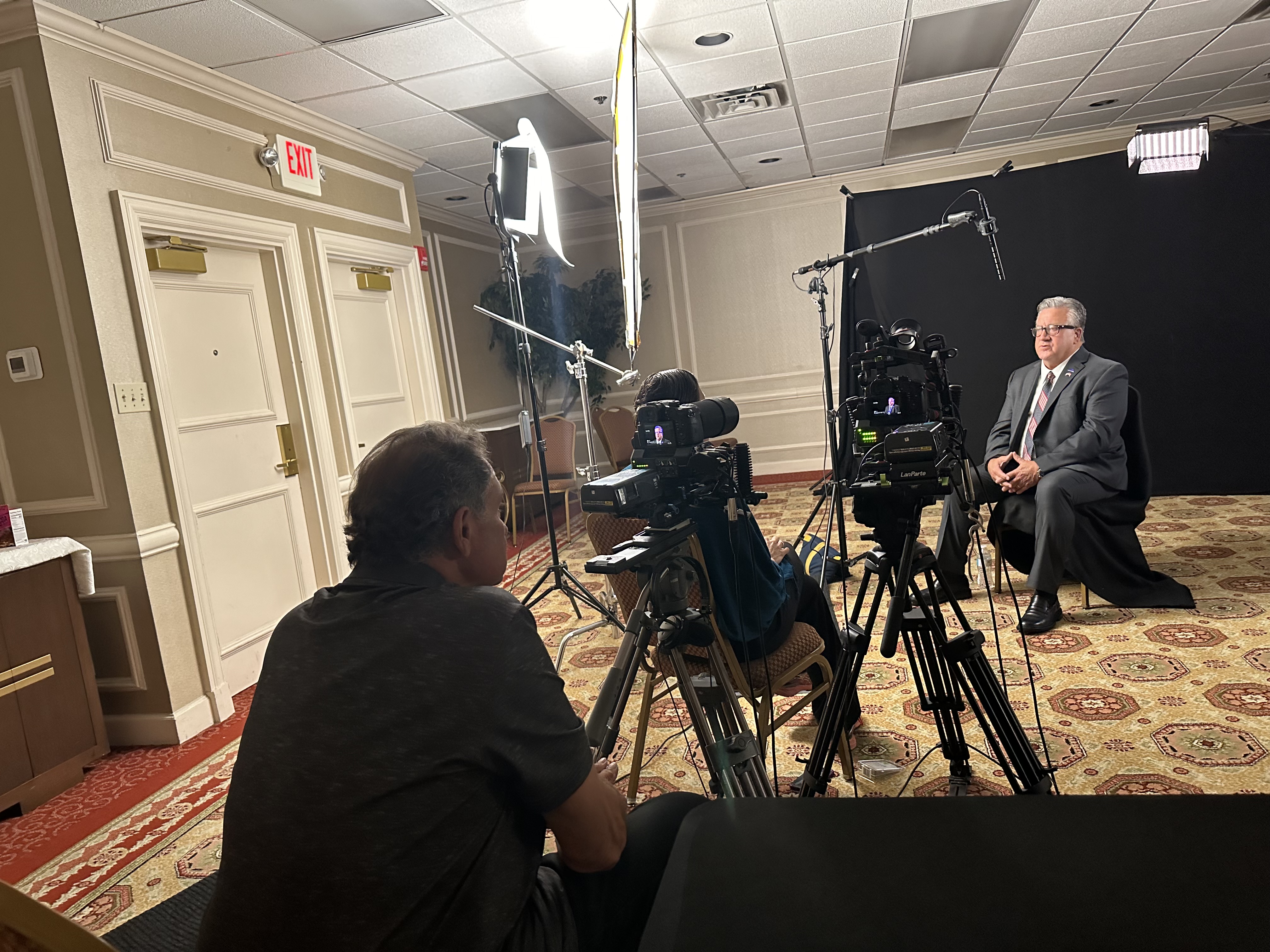
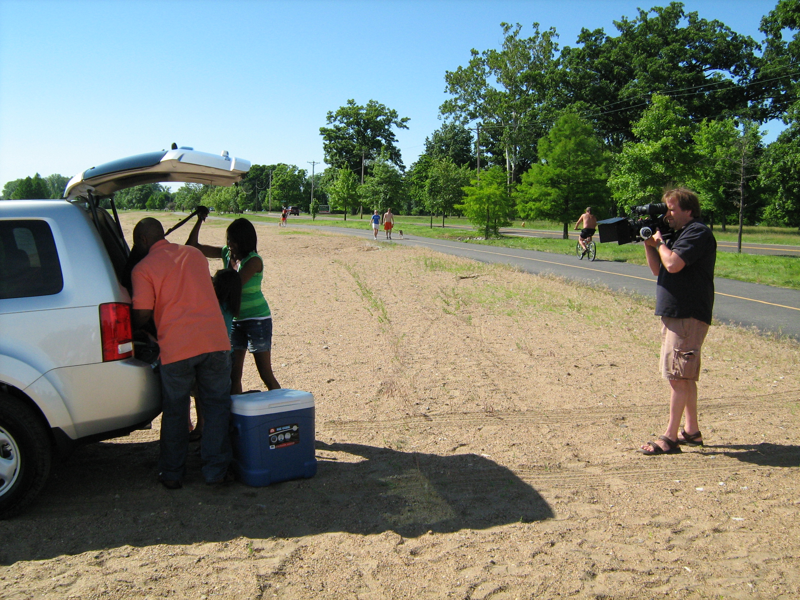
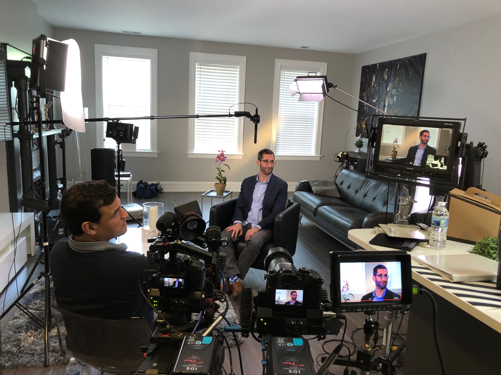
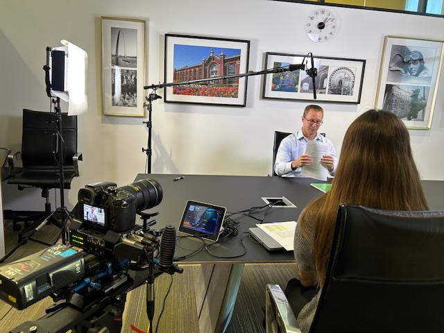
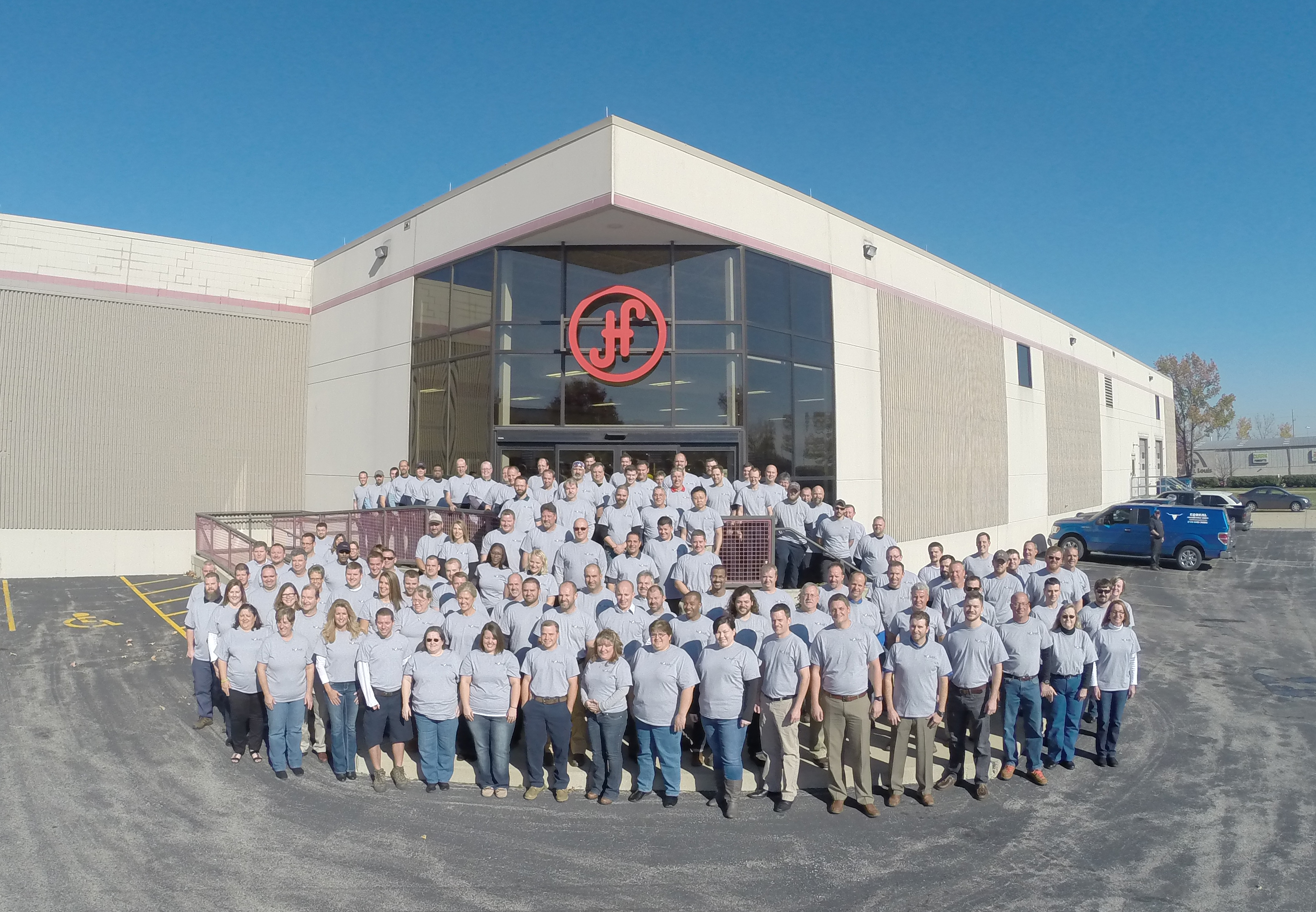
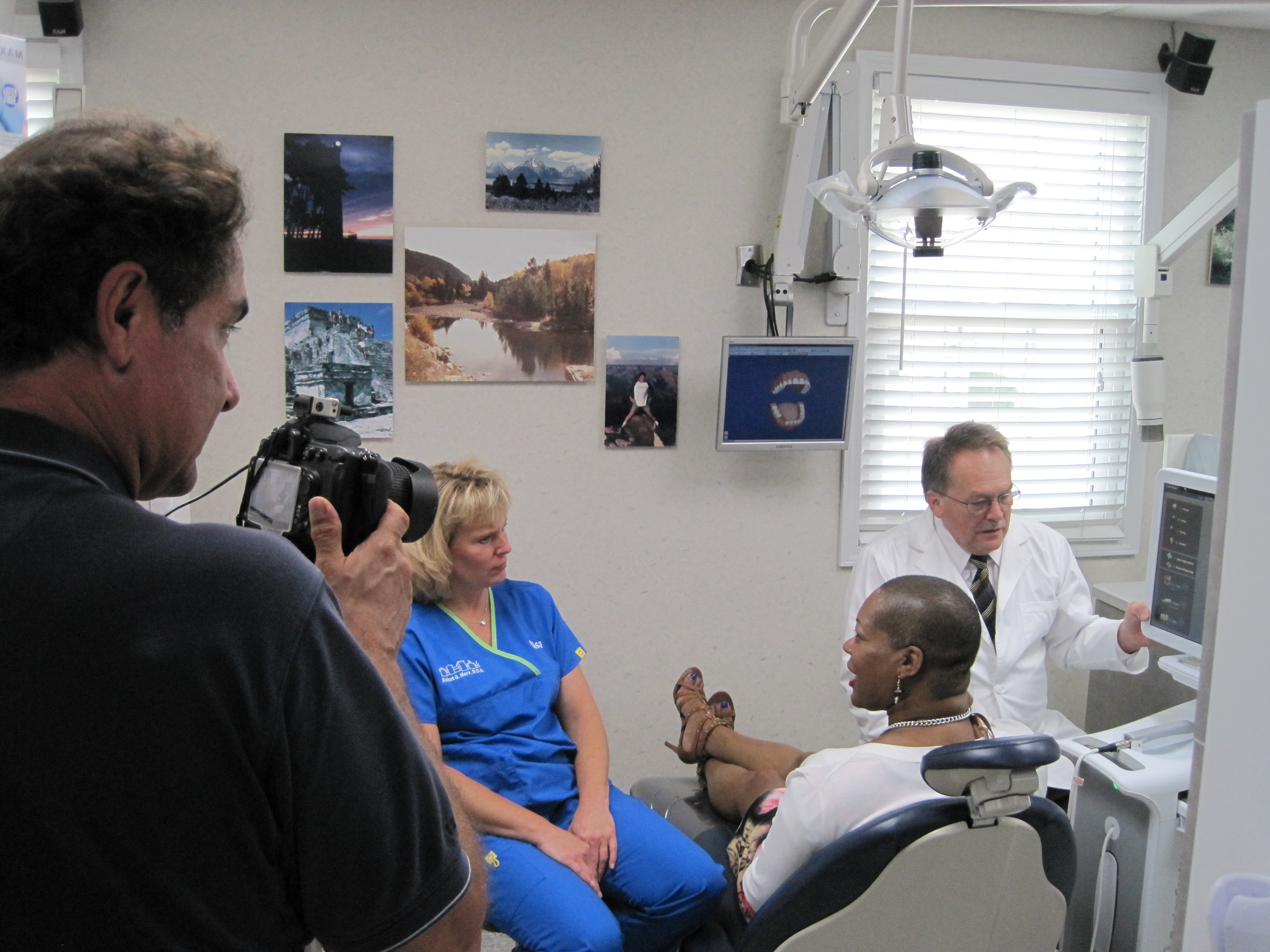
Ground Crews for Interviews, B-Roll, Photography, and Detail Coverage
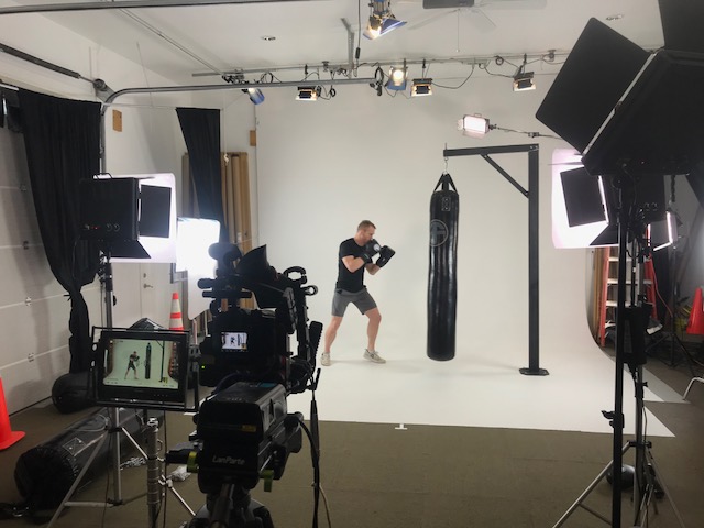
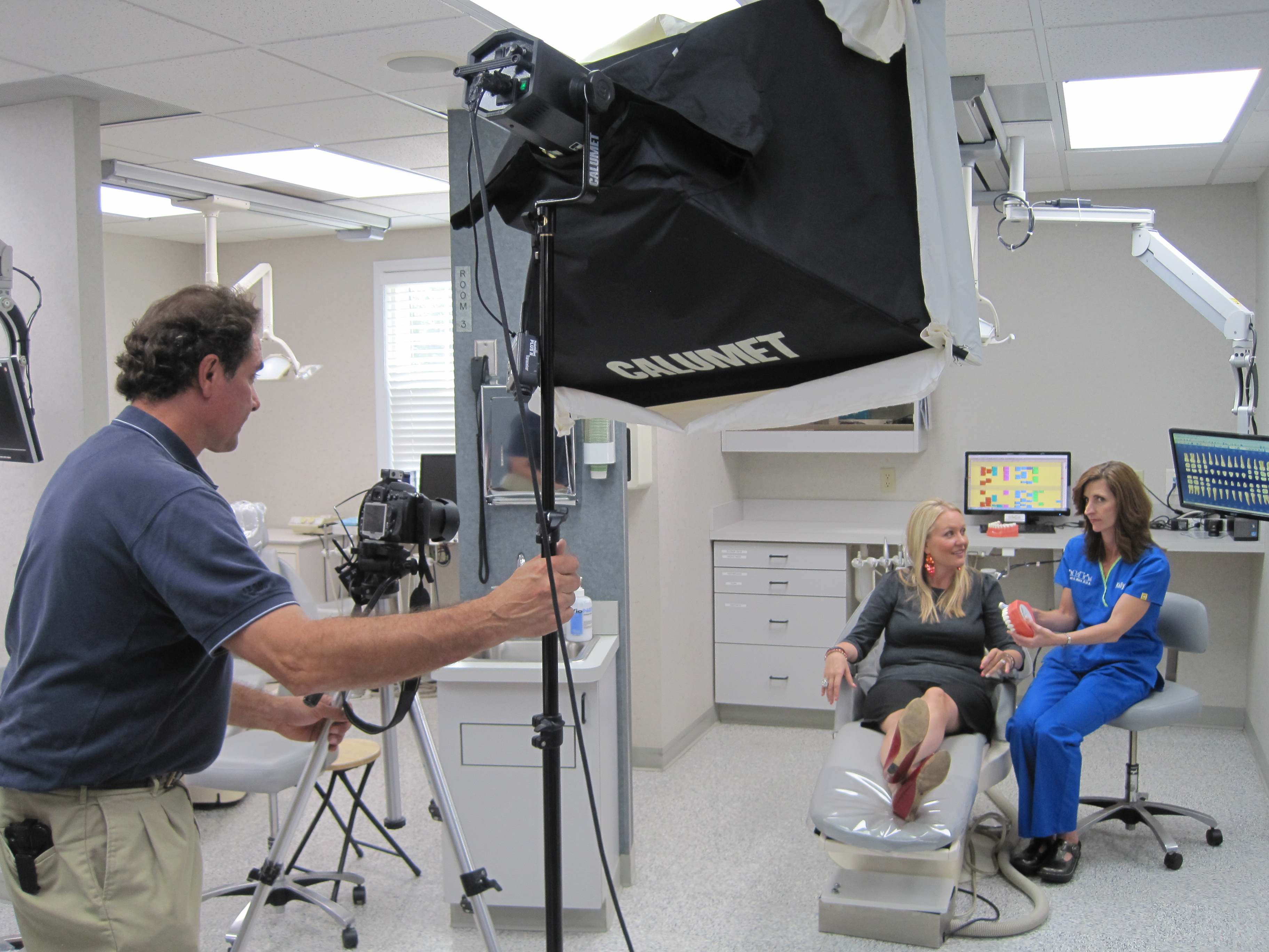
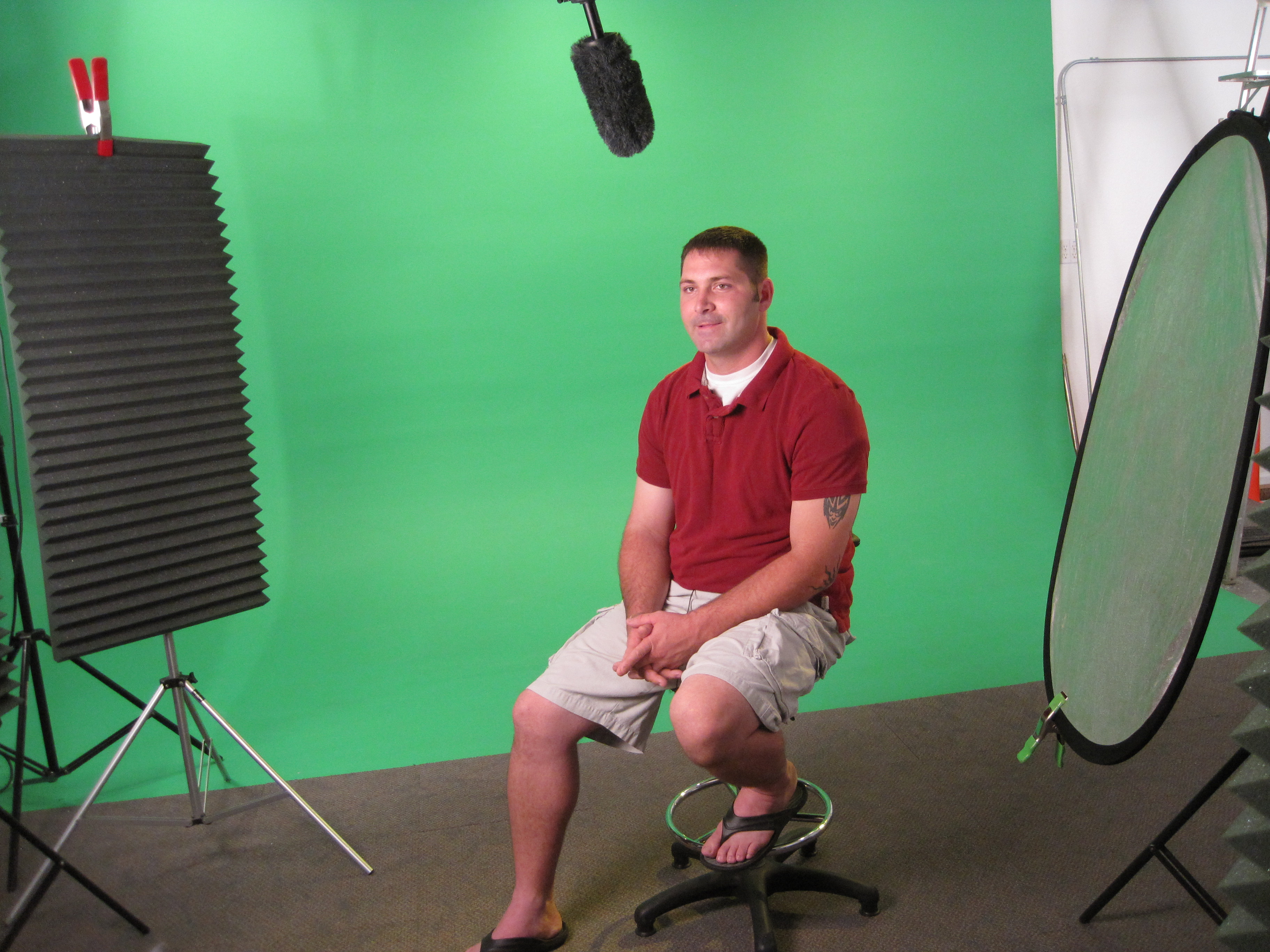
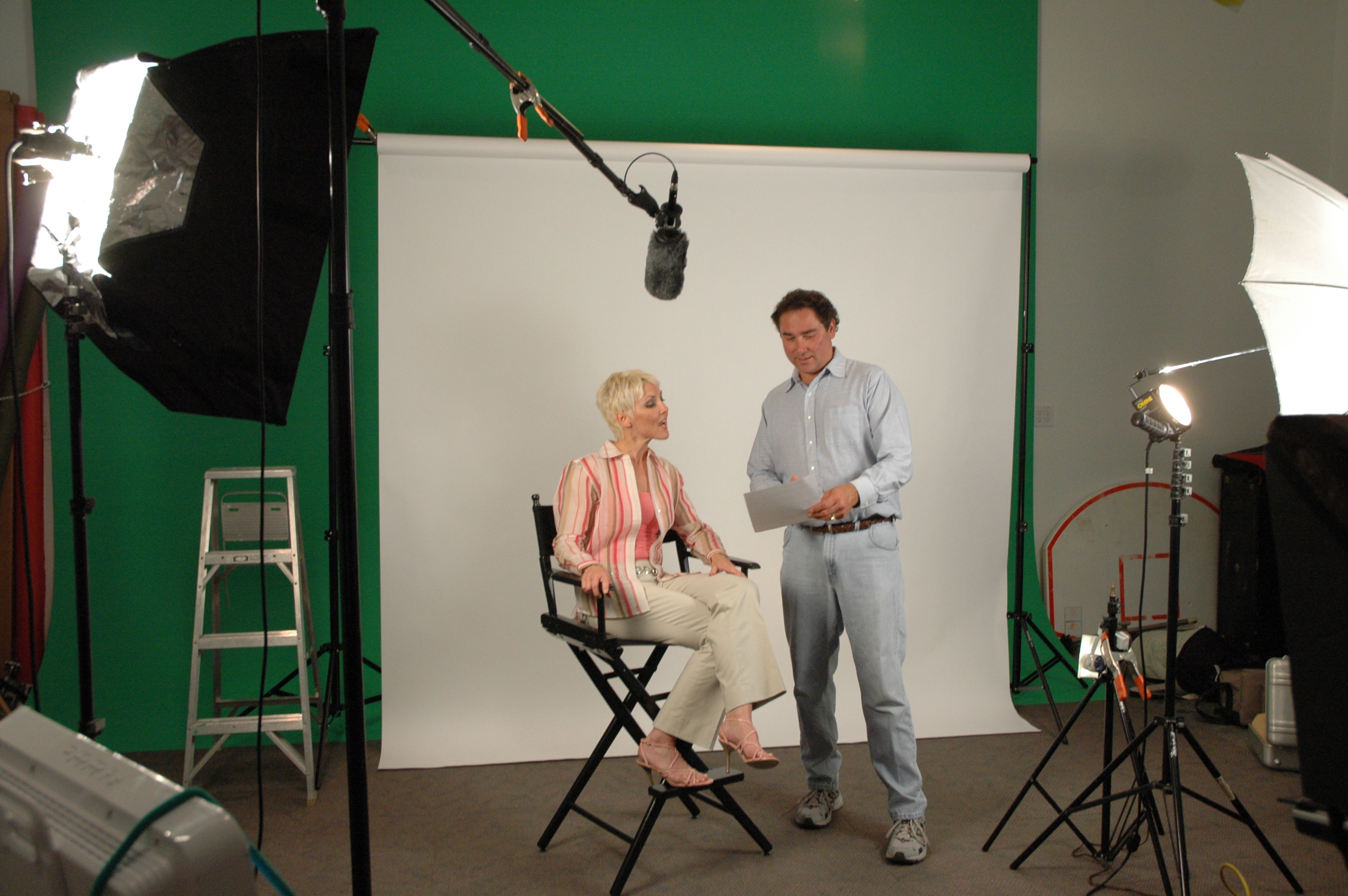
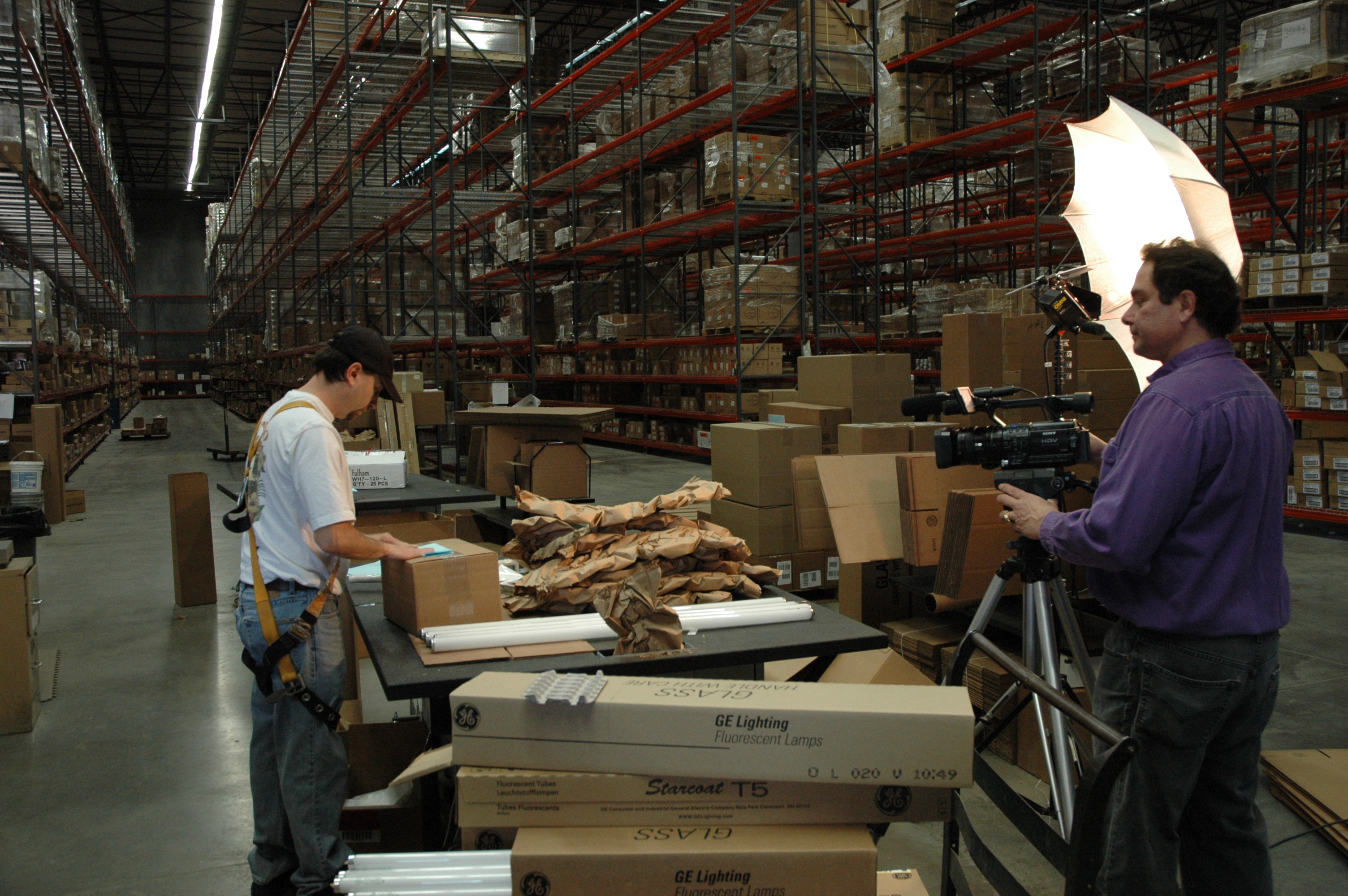
Ground production remains the backbone of most business video and photography projects. Interviews, close-ups, process shots, customer interactions, product details, workplace environments, and branded visuals all depend on skilled camera crews who understand lighting, framing, audio, and storytelling.
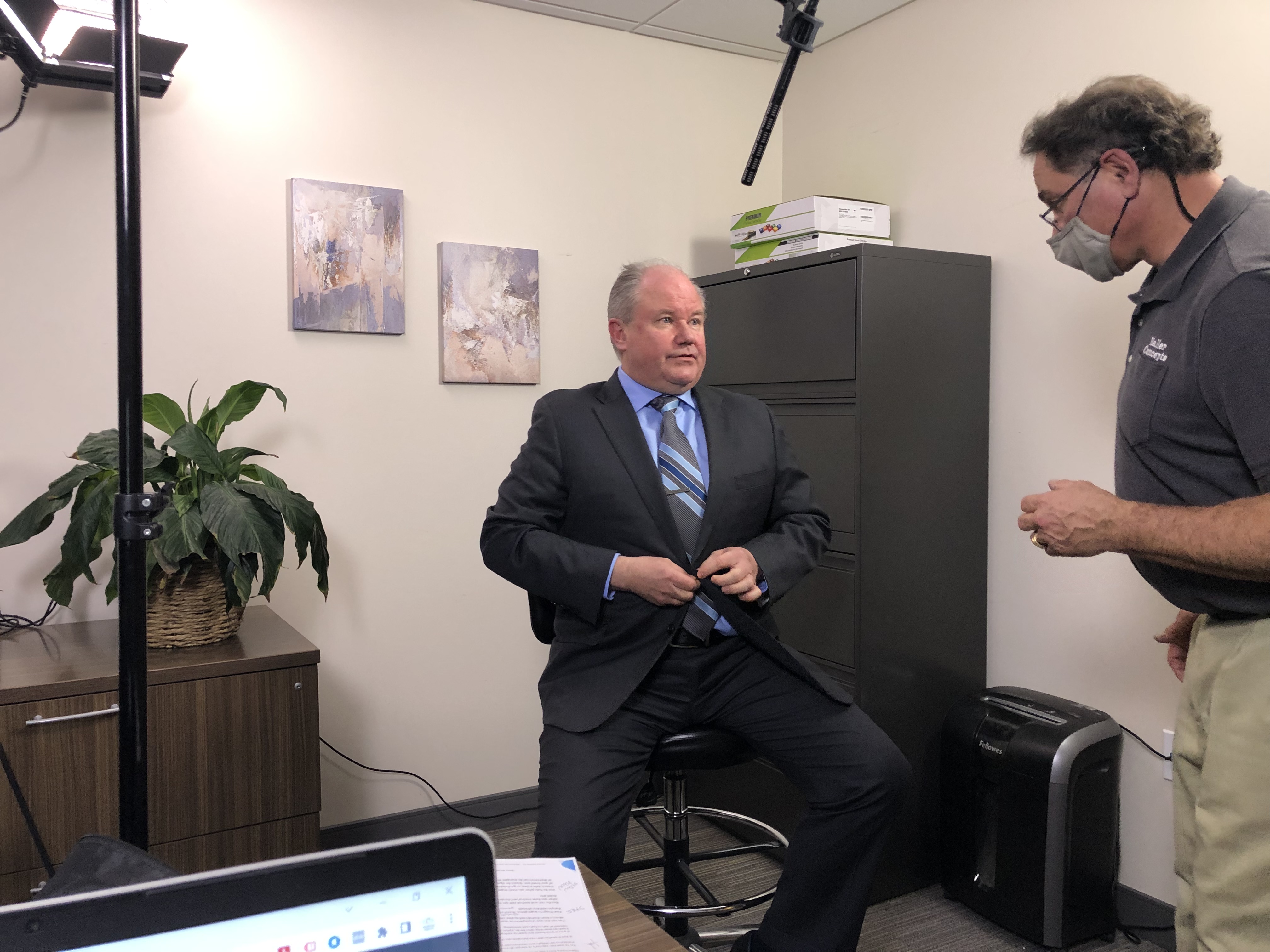
Our ground crews can capture professional footage on location or in studio settings. We can work with executives, employees, customers, subject-matter experts, presenters, and on-camera talent to create content that feels confident, clear, and credible.
Ground video production may include:
Sit-down interviews
Customer testimonials
Executive messages
Training demonstrations
Product and service visuals
Facility walkthroughs
Branded b-roll
Event footage
Social media clips
Still photography for marketing use
Professional headshots and business portraits
The strongest productions often come from carefully planned b-roll. B-roll gives editors the visual material needed to support interviews, explain processes, create pacing, and make the finished video more engaging. St Louis Aerial Photography is experienced in location scouting and b-roll production, helping clients capture the visual building blocks that make a finished edit work.

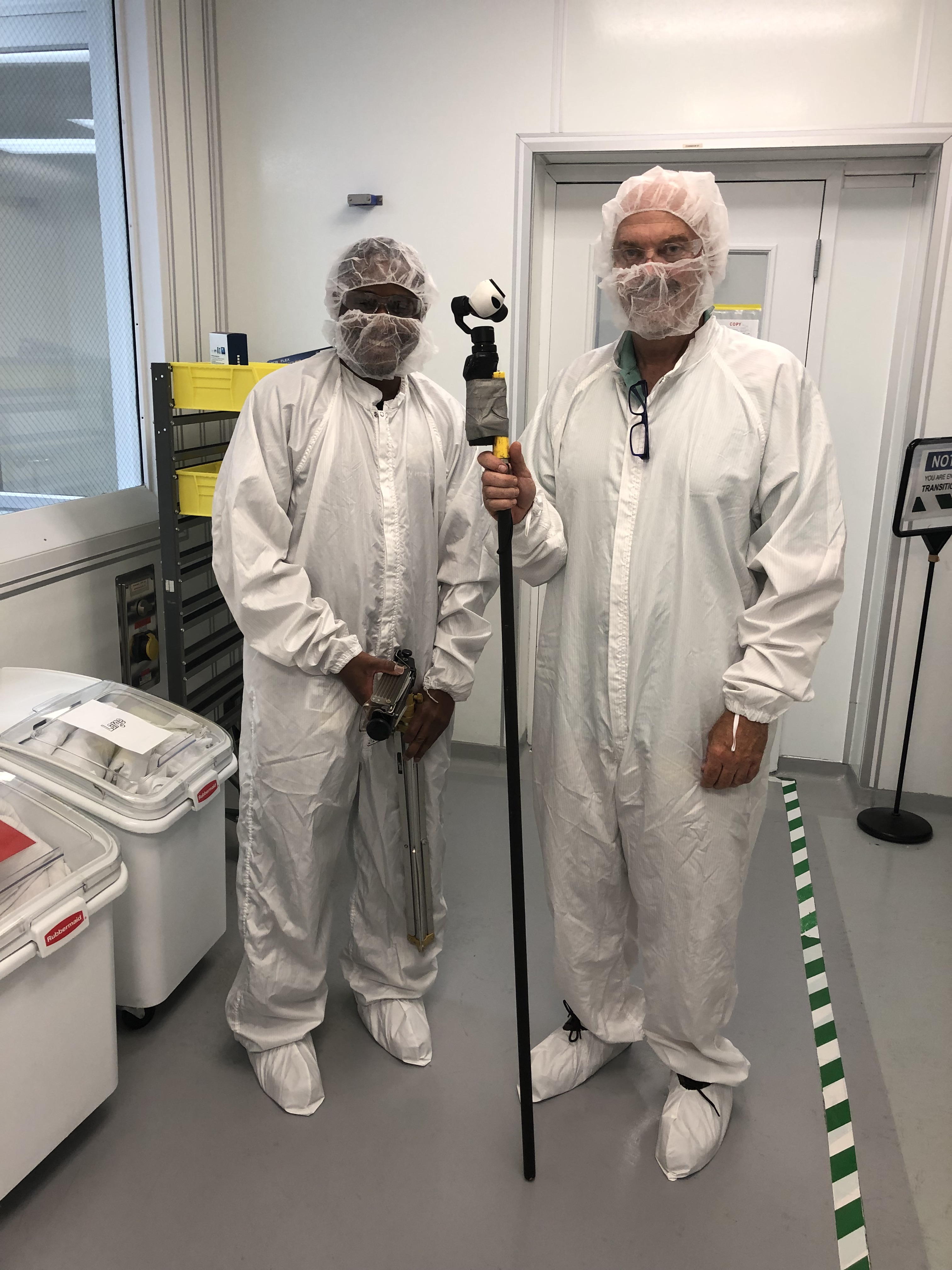
Indoor FPV Drone Capabilities
In addition to traditional aerial drone footage, we can fly specialized FPV drones indoors. This gives businesses a unique way to showcase interiors, production floors, warehouses, showrooms, event spaces, offices, schools, medical facilities, and other environments where smooth movement through a space can create a memorable viewing experience.
Indoor FPV drone footage can be useful for:
Facility tours
Manufacturing walkthroughs
Real estate interiors
Event venues
Retail and showroom promotions
Hospitality and tourism marketing
Recruiting and brand videos
Agency creative campaigns
This type of footage requires specialized equipment, planning, control, and experience. When used correctly, it creates a dynamic visual style that can move viewers through a space in a way traditional ground cameras cannot.
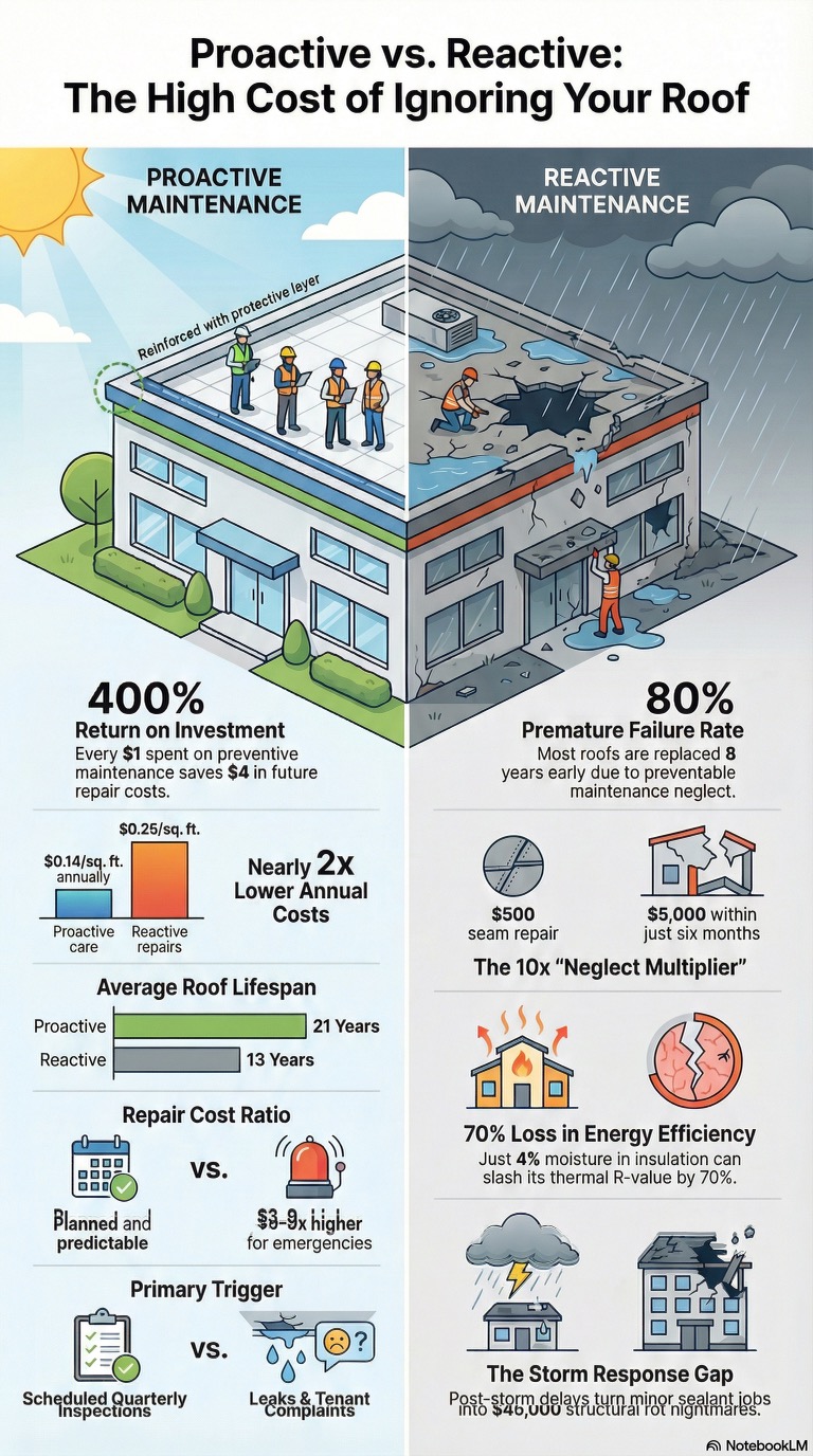
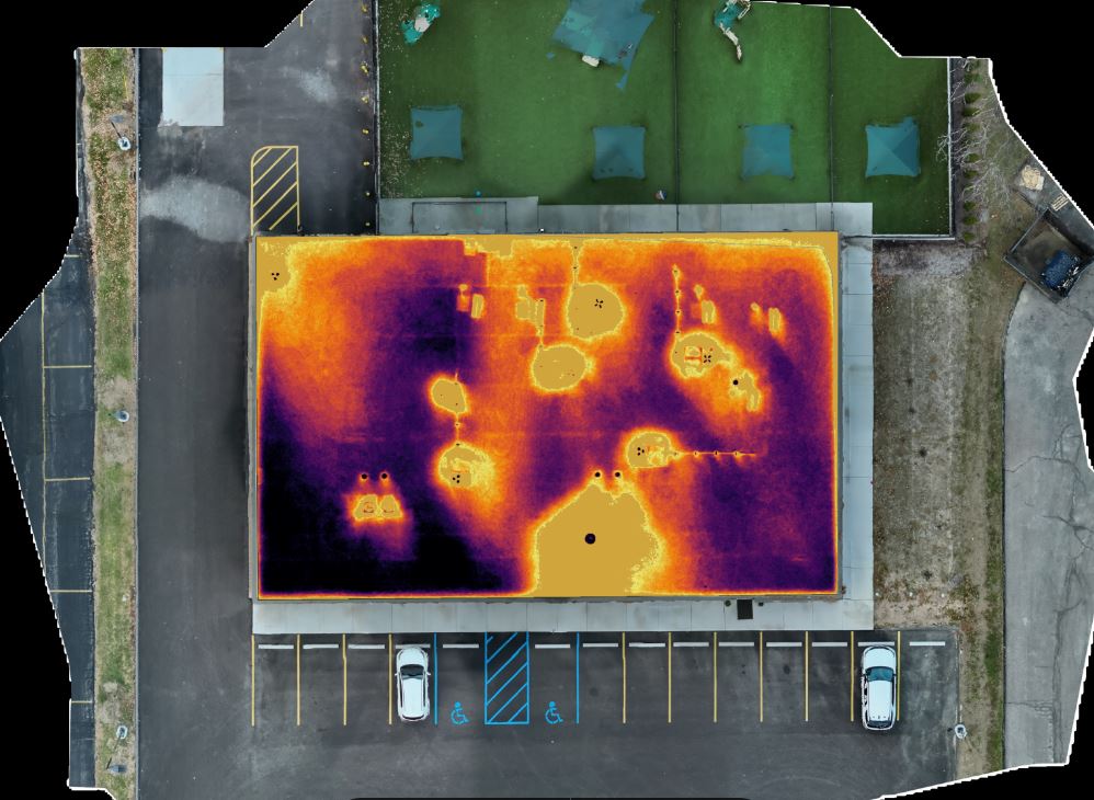
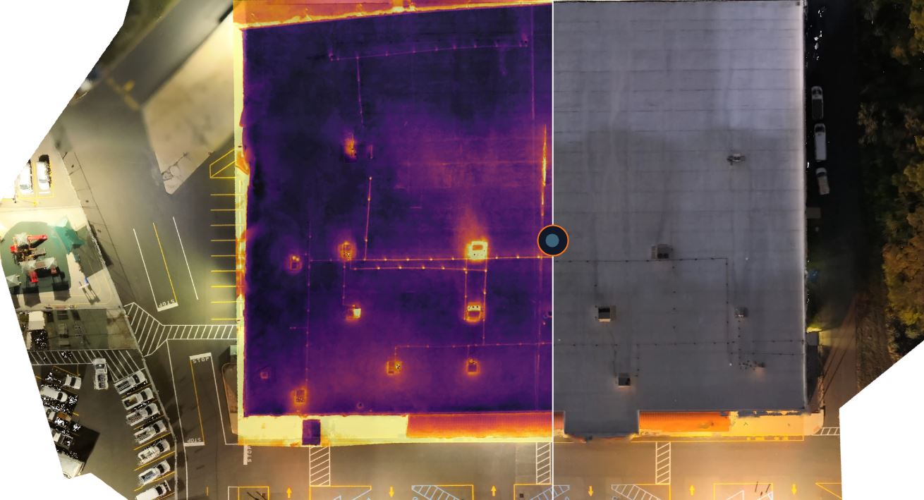
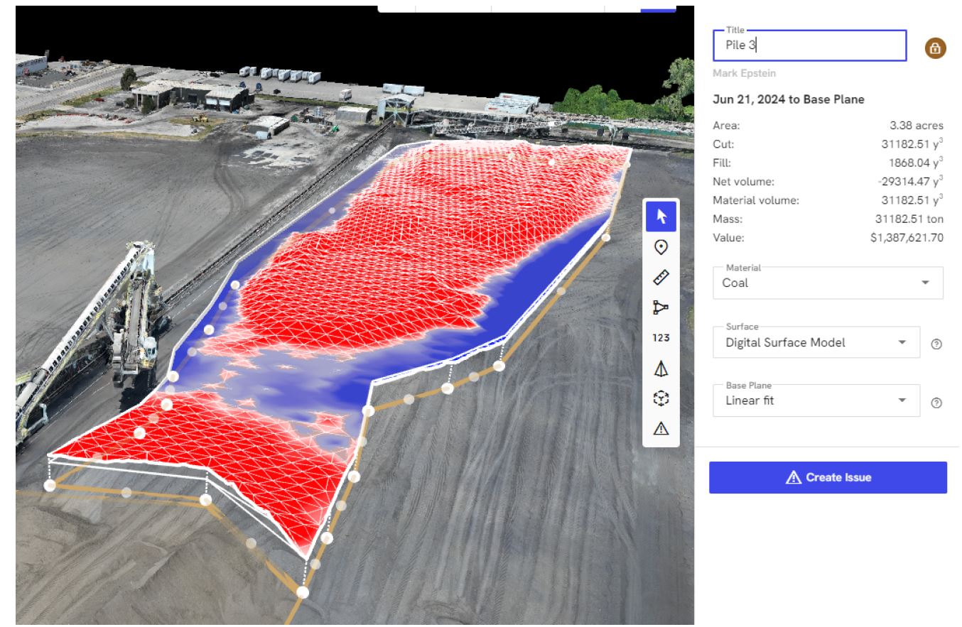
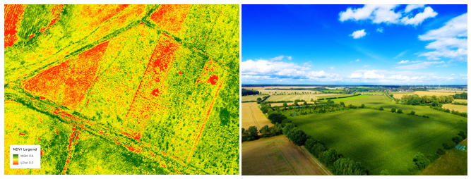
Specialized Drone Services: Infrared Thermal, Orthomosaics, and LiDAR
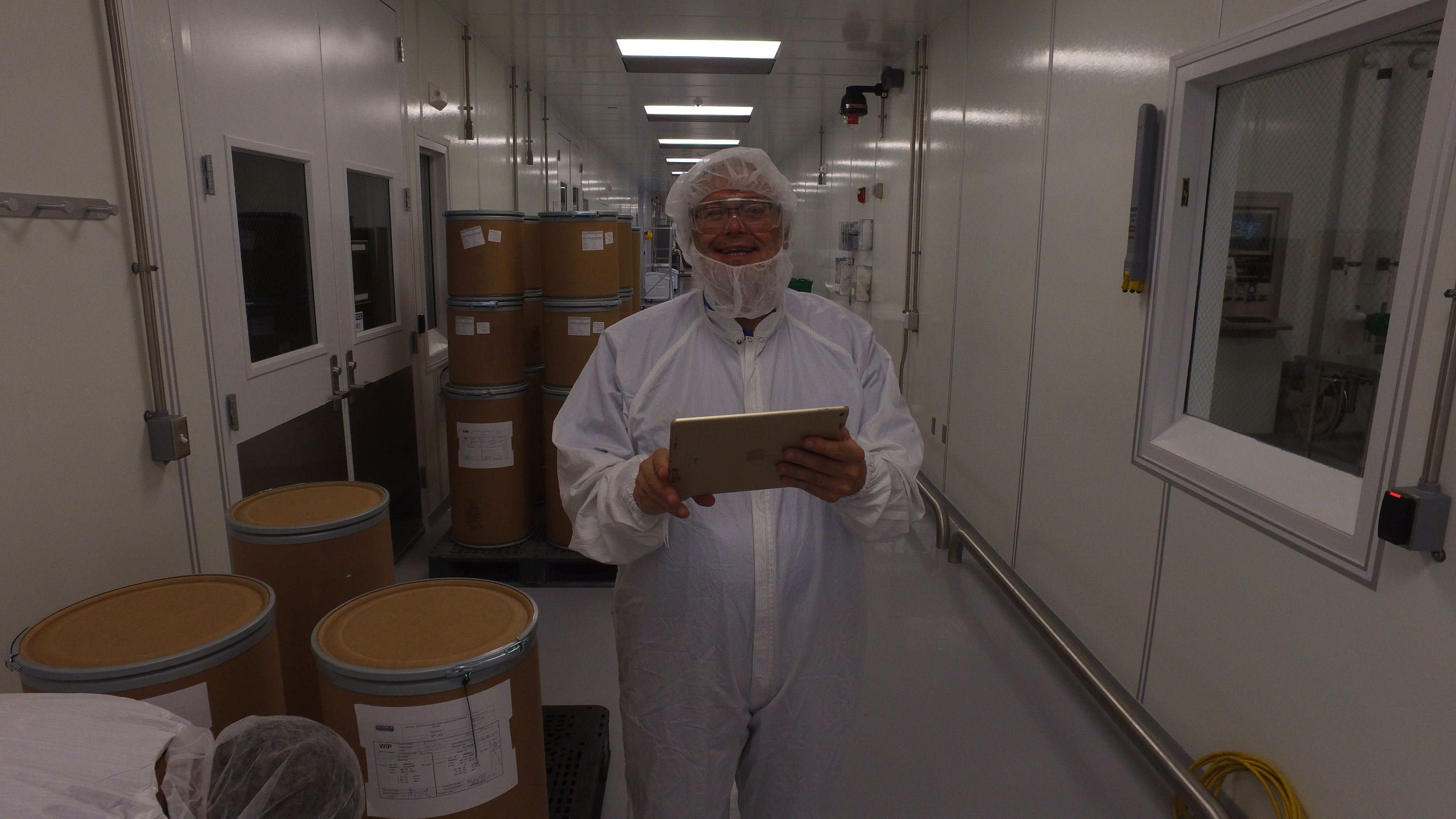
Some projects require more than conventional video and photography. St Louis Aerial Photography also provides specialized drone services that can support documentation, inspection, mapping, planning, and technical analysis.
Infrared thermal imaging can help capture heat-related visual data for certain building, roof, utility, environmental, and industrial applications.

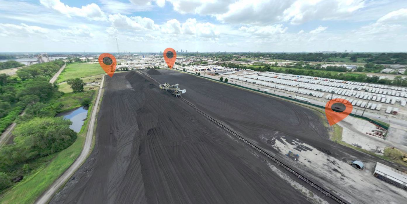
Orthomosaic imagery can create detailed stitched aerial maps useful for construction sites, land documentation, development planning, property analysis, and progress tracking.
LiDAR services can support projects that require more advanced spatial data, surface modeling, elevation information, or site documentation.
These services can be valuable for clients who need both visual media and technical documentation. They are also useful when marketing, planning, inspection, and analysis need to work together within the same project.
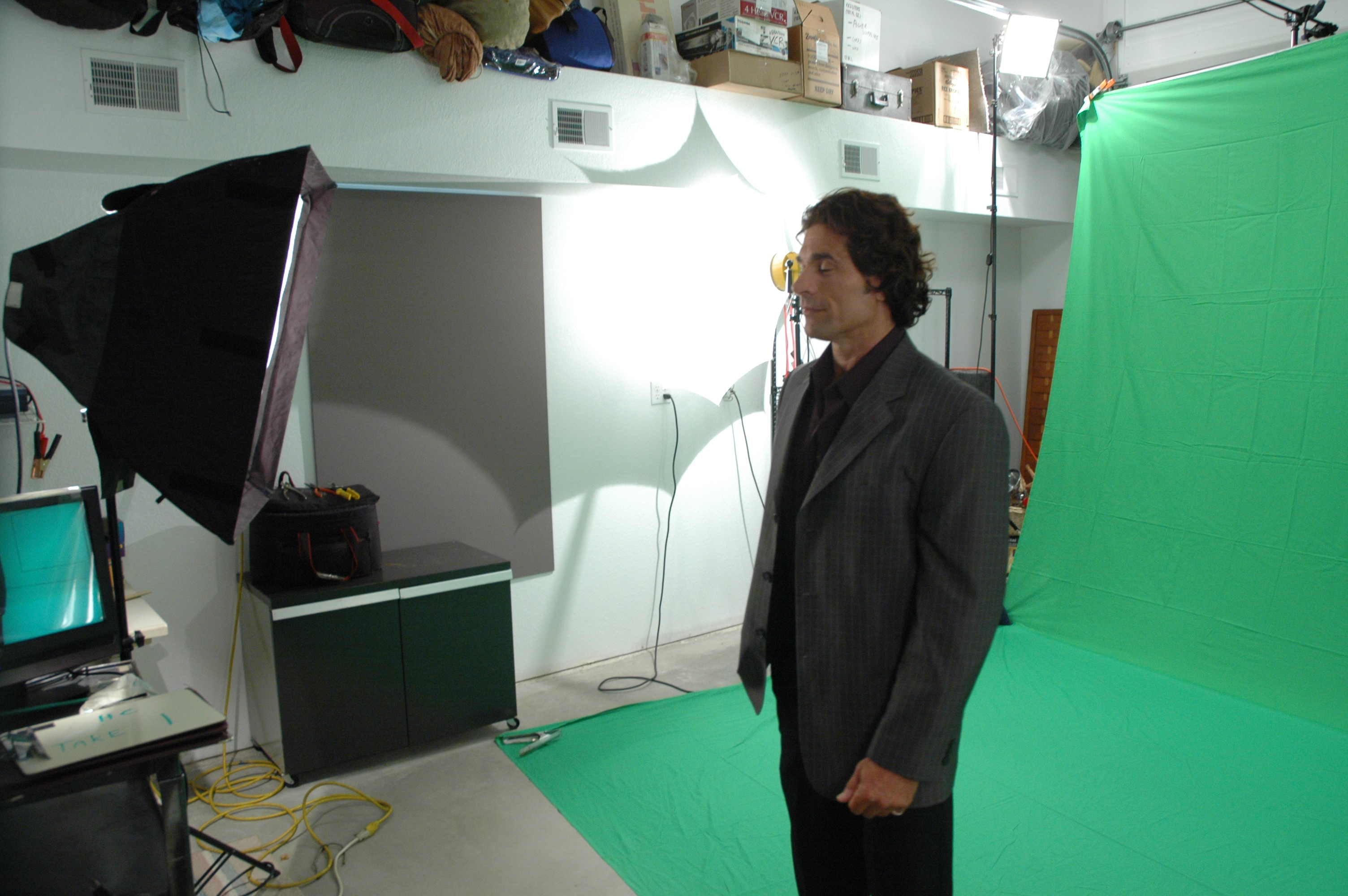
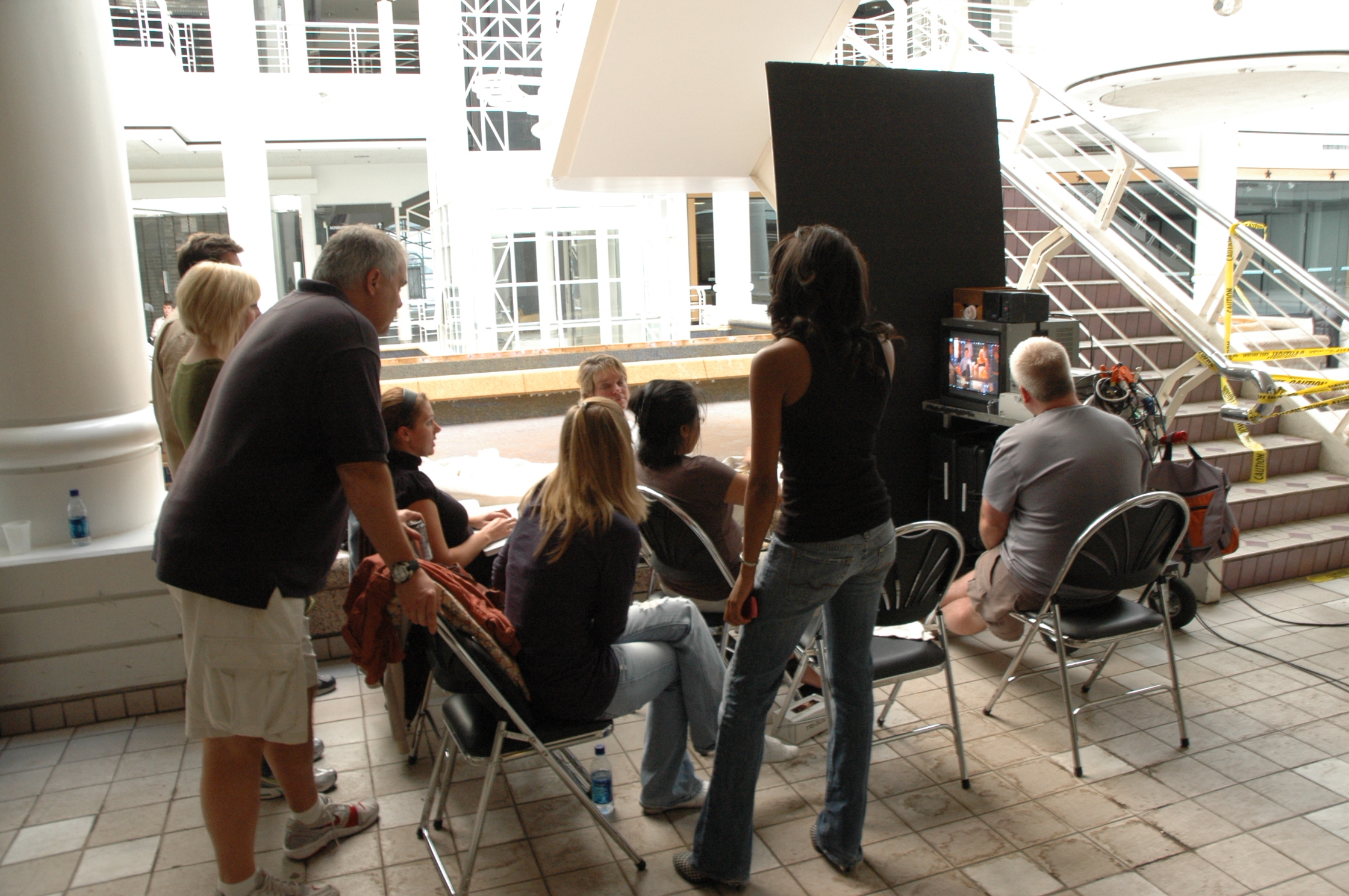
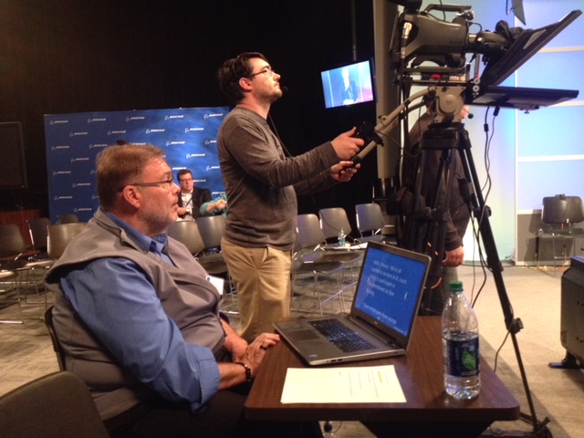
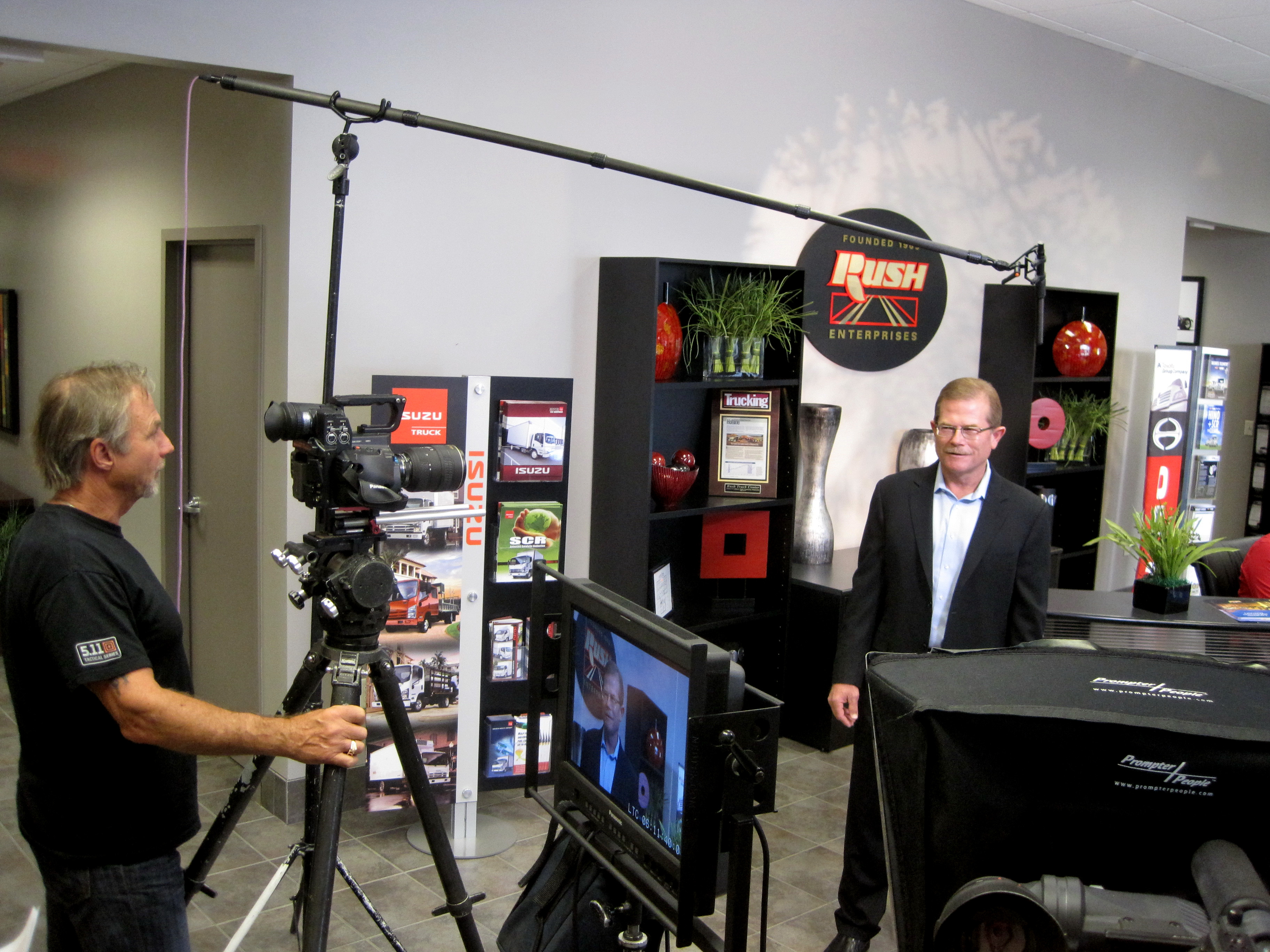
Studio, Location, Editing, and Post-Production Support
Because St Louis Aerial Photography is part of a full-service professional commercial photography and video production company, clients can rely on more than drone footage alone. We offer full-service studio and location video and photography, along with editing, post-production, and licensed drone services.
Our private studio lighting and visual setup is ideal for small productions and interview scenes. The studio is also large enough to incorporate props, branded backgrounds, product displays, and custom set elements. This allows clients to create polished interview segments, training videos, product demonstrations, portraits, and controlled studio visuals that can be combined with location and aerial footage.


Post-production is where the captured media becomes a finished communication tool. We are experienced with editing, color correction, sound, graphics, formatting, file conversion, versioning, and media delivery for a wide range of platforms. We are well-versed in all file types and styles of media and accompanying software, and we use the latest in Artificial Intelligence for our media services where it can improve workflow, organization, enhancement, repurposing, and delivery.
Repurposing Visual Content for More Value
A well-planned production should create more than one final asset. A single shoot can often produce content for a website video, social media clips, presentation visuals, still photography, recruiting materials, email campaigns, trade show displays, training modules, and future marketing use.
Repurposing photography and video branding to gain more traction is one of our specialties. We help clients think beyond a single finished video and consider how the captured material can be adapted for multiple audiences, platforms, and campaigns.
This is especially important for businesses and agencies that need to maximize production budgets. When the shoot is planned correctly, aerial footage, ground video, interviews, b-roll, still photography, and graphics can be organized into a long-term visual media library.
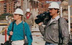
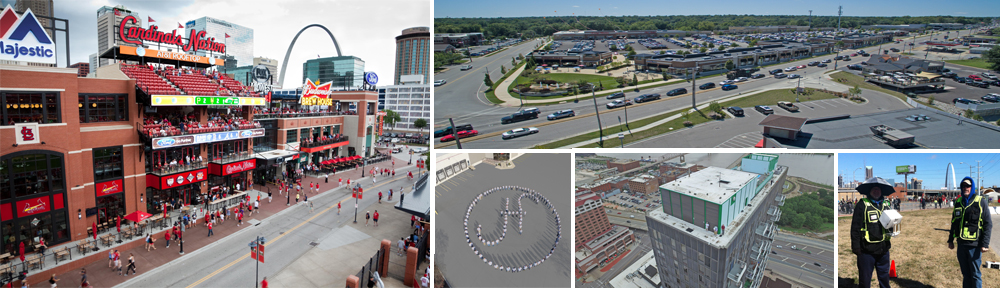
A Full-Service Production Resource Since 1982
St Louis Aerial Photography has worked with many businesses, marketing firms, and creative agencies in the St. Louis area for marketing photography and video since 1982. Our experience as a full-service video and photography production corporation gives us the practical knowledge to support projects from concept through final delivery.
We provide the right equipment, experienced creative crew service, and production support needed for successful image acquisition. Whether your project requires aerial video, ground crews, interviews, studio production, editing, post-production, licensed drone pilots, indoor FPV drone footage, infrared thermal imaging, orthomosaics, LiDAR, location scouting, or b-roll specialists, St Louis Aerial Photography can customize your production for diverse media requirements.
From setting up a private custom interview studio to supplying professional sound and camera operators, coordinating location logistics, capturing aerial and ground footage, and preparing polished final media, we support every aspect of the production process.
For organizations that need creative shooting crews for aerial and ground video productions, St Louis Aerial Photography delivers the experience, equipment, crew, and production capability to create professional visual content that works across today’s demanding media platforms.