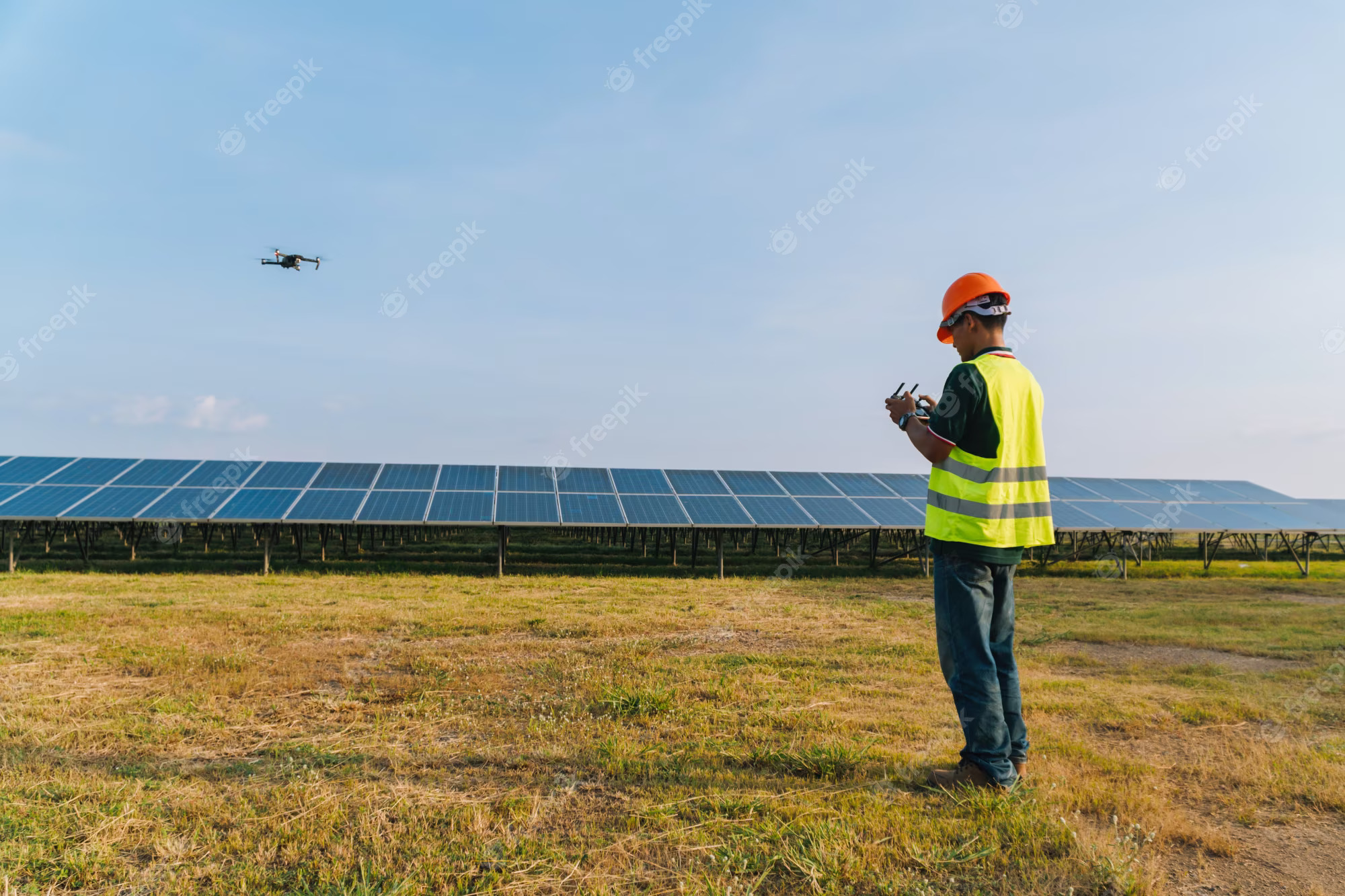
In industries like mining, construction, and aggregates, the need for accurate stockpile measurement and management is paramount. Traditional methods of assessing stockpile volumes can be labor-intensive, time-consuming, and sometimes inaccurate. However, the rise of drone technology has transformed this process, offering a more efficient, precise, and safer solution. This guide explores how drones are revolutionizing stockpile management and why they should be an integral part of your operations.
Why Use Drones for Stockpile Reporting?
Efficiency and Time Savings
Speeding up data collection: Traditional methods for measuring stockpiles can be cumbersome, often taking several hours or even days to complete, depending on the size and complexity of the site. Drones can accomplish the same task in mere minutes. This significant reduction in time not only saves costs but also allows for more frequent surveys, ensuring that your inventory data is always up-to-date.
Precision and Accuracy
Delivering high-resolution, geo-referenced data: Drones are equipped with advanced cameras and sensors that capture high-resolution images of your site from above. These images are processed using specialized photogrammetry software to create detailed 3D maps. The precision of these measurements, often accurate to within a few centimeters, provides reliable data essential for inventory management and planning.
Enhanced Safety
Minimizing risks with remote data collection: Traditional stockpile measurement methods can be hazardous, often requiring workers to climb unstable piles or operate in close proximity to heavy machinery. Drones eliminate the need for physical contact with the stockpiles, significantly reducing the risk of accidents and improving overall site safety.
How Drone Surveys Work
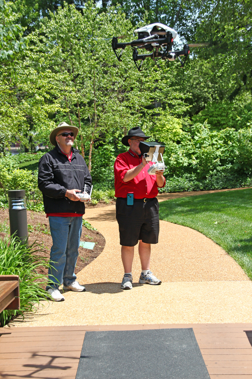
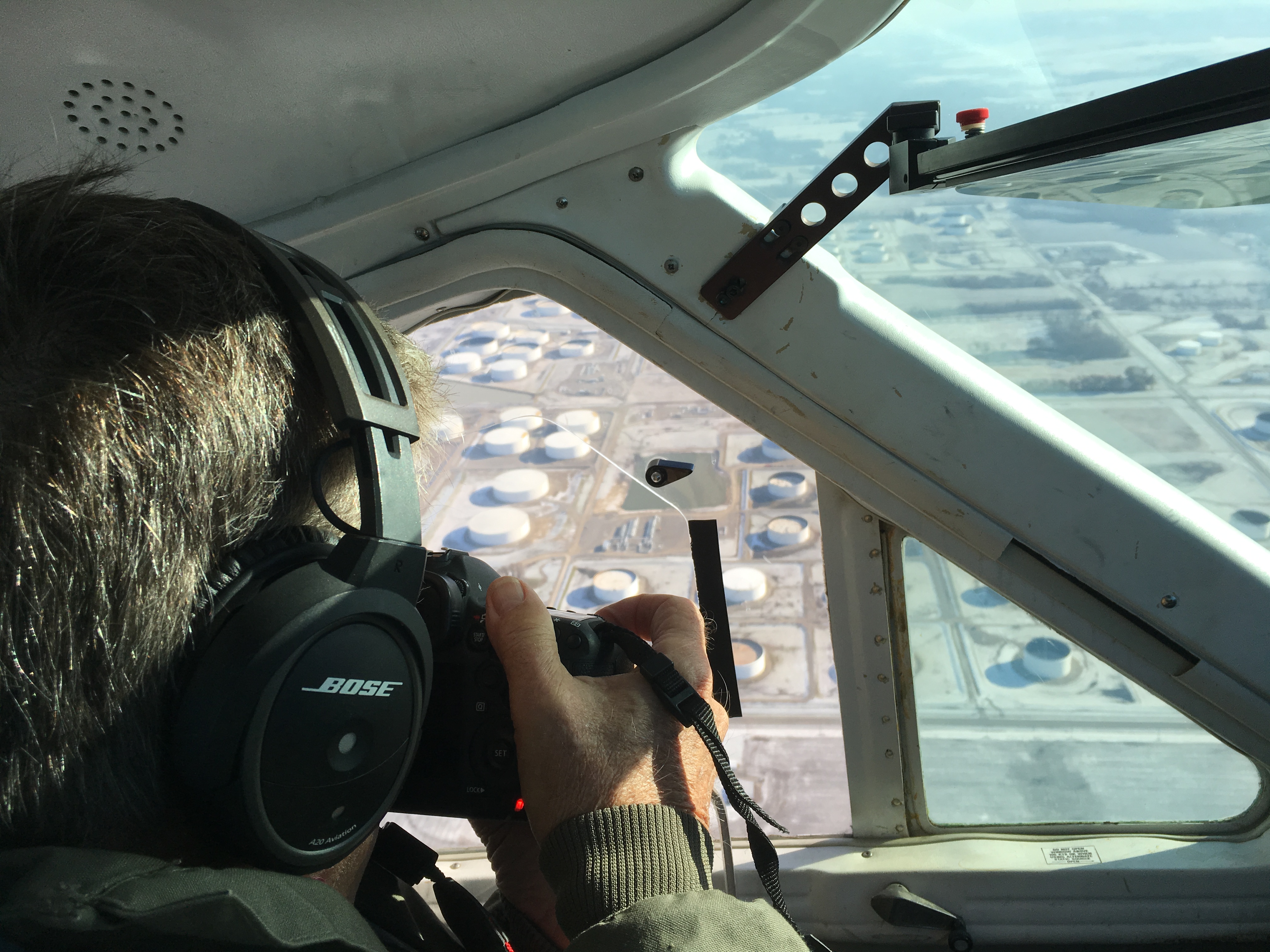
Data Collection
Capturing detailed aerial images: A drone equipped with a high-resolution camera flies over the site, capturing a series of overlapping images. These images are geo-referenced, meaning they are tagged with precise GPS coordinates, ensuring accurate spatial data for further processing.
Data Processing
Creating accurate 3D models: The captured images are processed using photogrammetry software, which stitches them together to generate an intricate 3D map of the site. This map can be used to take various measurements, including stockpile volumes, surface areas, and elevation changes.
Data Analysis and Reporting
Providing actionable insights: Drone survey software leverages the accuracy of the 3D maps to generate comprehensive reports. You can compare current stockpile volumes to previous surveys, track site progress, and even measure against final grade design files to determine how much material needs to be added or removed. This detailed data supports better decision-making and project management.


Applications of Drone Technology in Stockpile Management
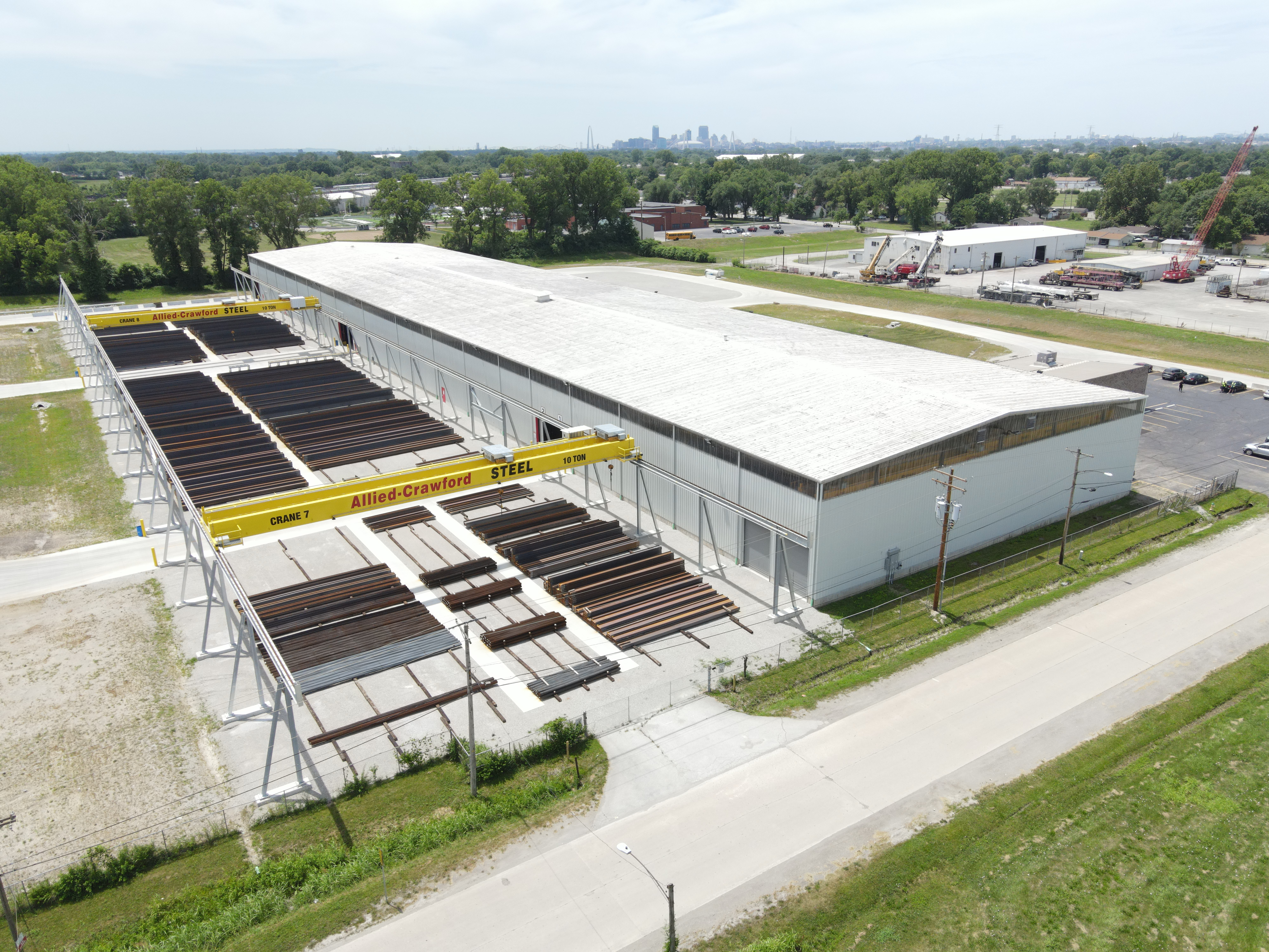
Mining and Aggregates
Optimizing resource management: For professionals in the mining and aggregates industries, drone surveys offer a reliable and efficient way to manage stockpile inventories. Accurate volume calculations help maintain optimal stock levels, plan extraction activities, and ensure efficient use of resources.
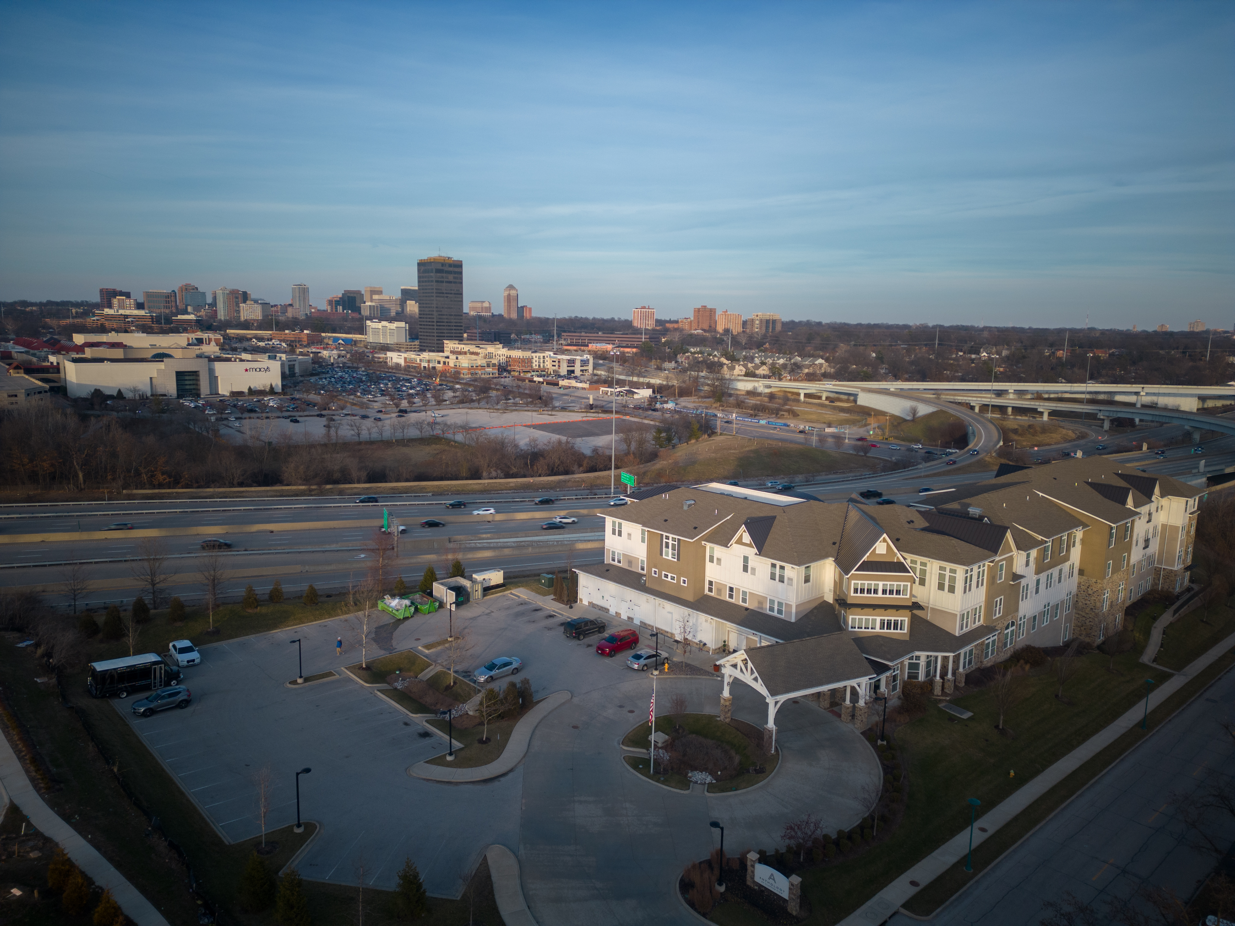
Construction Sites
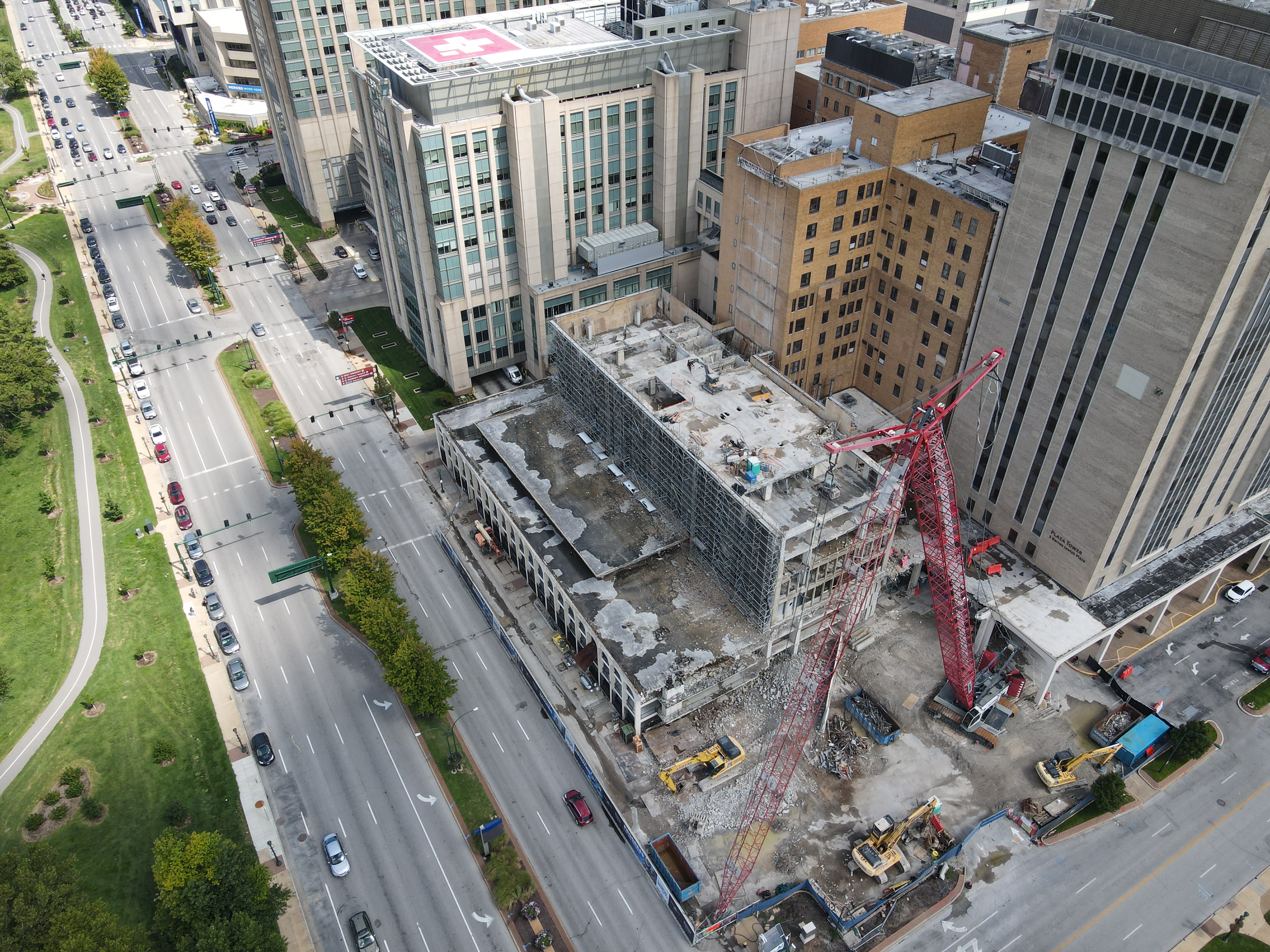
Improving project oversight: Construction sites benefit greatly from drone surveys, which allow for quick and accurate assessments of large areas. The detailed 3D maps provide valuable insights into site progress, material needs, and adherence to design specifications, helping keep projects on track and within budget.
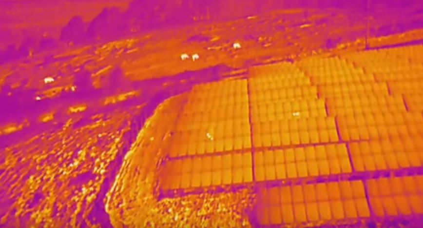
Environmental Monitoring
Supporting sustainability and compliance: Drones also play a critical role in environmental monitoring by tracking changes in landscapes and ensuring compliance with environmental regulations. High-resolution images and 3D models help assess the impact of mining and construction activities, promoting sustainable practices and regulatory adherence.
Why Choose St Louis Aerial Photography for Your Drone Survey Needs?
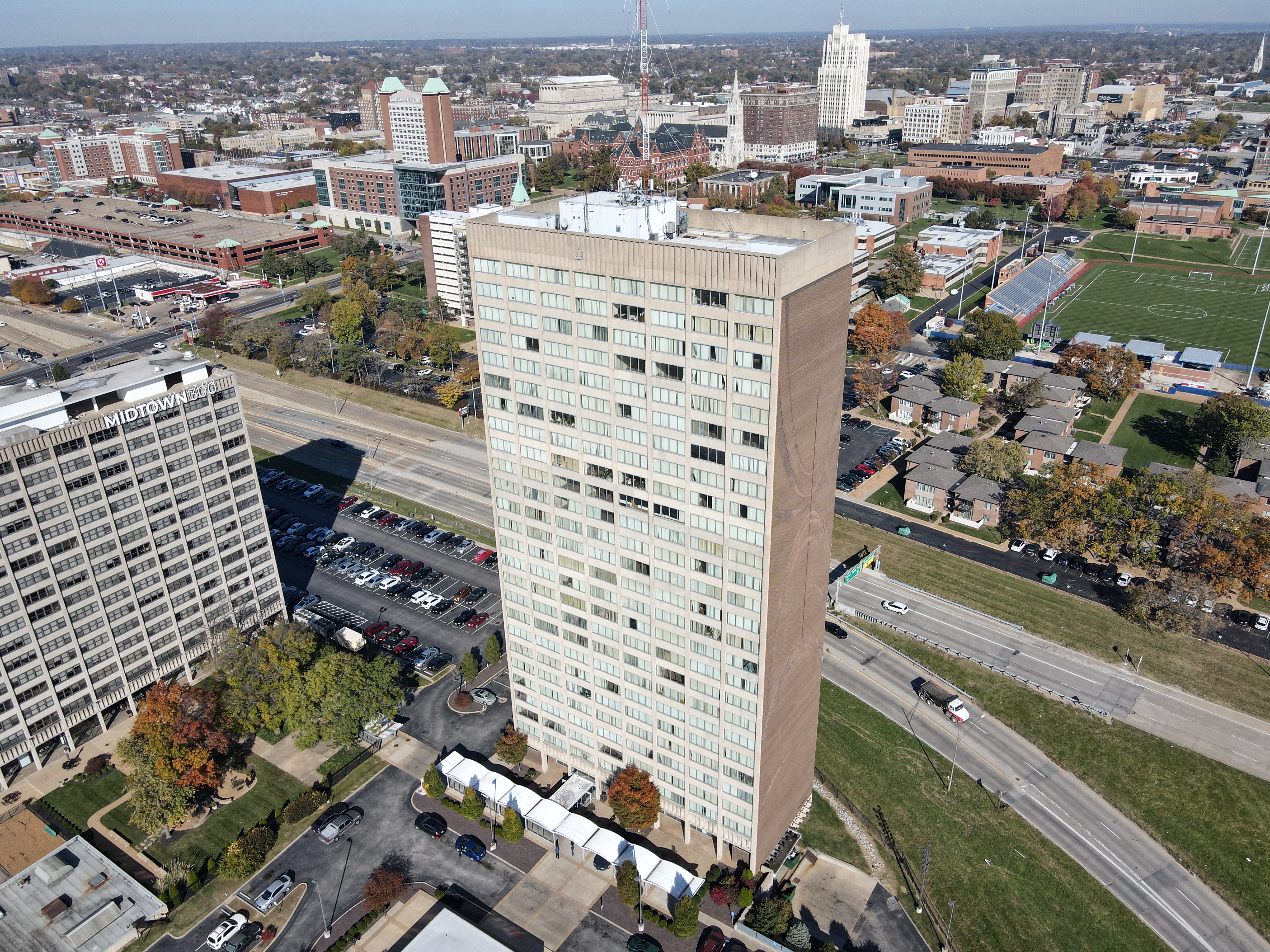
At St Louis Aerial Photography, we are a full-service professional commercial photography and video production company specializing in high-quality image and stockpile inventory data acquisition. Our team combines cutting-edge technology with creative expertise to deliver outstanding results tailored to your business needs.
Comprehensive Services
Customized solutions for every requirement: We offer a wide range of services, including studio and location video and photography, editing, post-production, and licensed drone pilots. Our ability to customize productions means we can meet diverse media needs, from repurposing your branding materials to helping you achieve greater market visibility.
Advanced Equipment and Expertise
State-of-the-art tools and facilities: Our private studio is equipped with professional lighting and visual setups, perfect for small productions and interviews. The studio space can be customized with props to create a complete set for your production. Additionally, we offer specialized drones capable of indoor flights, providing versatile solutions for any production scenario.
Experienced Team
Supporting you from start to finish: Our experienced team is here to assist with every aspect of your production, from setting up custom interview studios to providing skilled sound and camera operators. We have the equipment and know-how to make your next video production flawless.
Proven Success
Trusted by industry leaders: St Louis Aerial Photography has successfully partnered with numerous businesses to gather critical data and measure stockpiles accurately. Our commitment to accuracy, efficiency, and safety has made us a trusted provider in the industry.
In conclusion, drone technology offers significant benefits for stockpile reporting, including increased efficiency, enhanced accuracy, and improved safety. At St Louis Aerial Photography, we are committed to delivering the best results for your business through expert drone surveys and comprehensive video production services. Contact us today to learn how we can assist with your next project.
St Louis Aerial Photography – Your Partner in Professional Aerial Imaging and Video Production