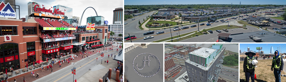
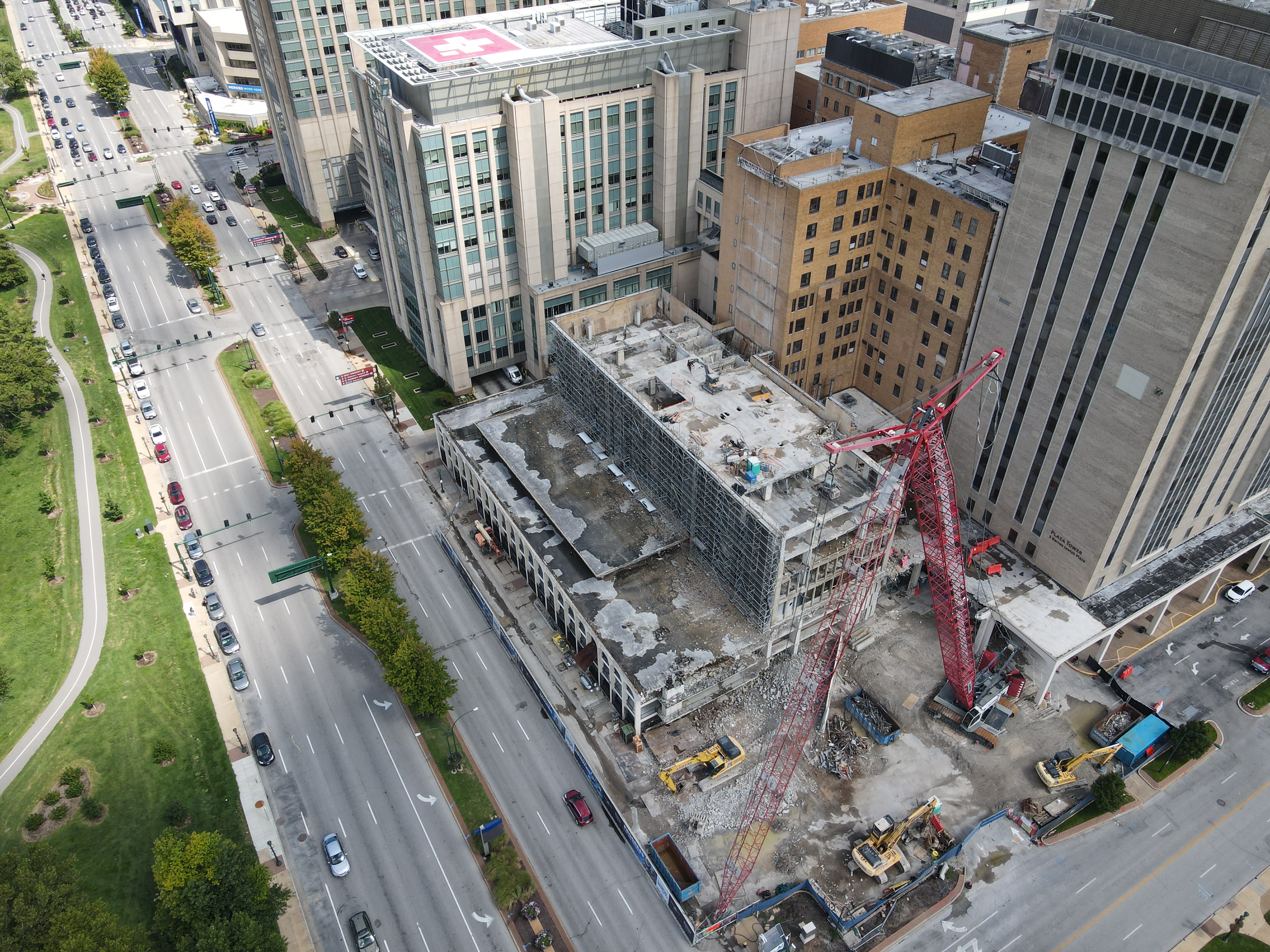
Drones are changing how construction job sites are managed by providing progress photos, stockpile quantities, and other data. Instead of using outdated Google maps, a drone can provide an up-to-date view of a property.
For example, we can capture aerial images at different altitudes to provide you with a bird’s eye view of what your current tenants would see out of every window.
Zoning meetings can be conducted without waiting for the zoning commission to send a representative. Use drones and maps to save time, money, and accelerate the approval process. It’s all about saving time, cash, and speeding up the approval process.
Document the job site’s condition (and the roads leading to it) before you start working. We can record the condition of the roads before your trucks and heavy equipment arrive.
Capture the interior progress of your project. We offer comprehensive interior drone footage services. This is a great way to offer progress insights, provide a view of your interior and keep stakeholders informed as your job progresses.
314-604-6544
stlouisaerialphotography@gmail.com
Robert Haller, Drone Specialist
