For businesses and organizations trying to create stronger marketing content without overspending, few production formats offer the same practical value as a well-executed interview supported by strategic b-roll. Interviews give a brand a voice. B-roll gives that voice visual support. When aerial photography and video are added thoughtfully, the result becomes even more useful, helping audiences understand scale, property, operations, logistics, and environment in a way that ground-level imagery alone often cannot.
For decision makers responsible for marketing, communications, branding, and media production, the goal is not simply to capture footage. The goal is to create flexible visual assets that can work across websites, social media, presentations, advertising, recruitment campaigns, and long-term brand storytelling. The most economical productions are not the ones with the fewest moving parts. They are the ones planned well enough to produce the greatest range of usable content from one coordinated effort.
At St Louis Aerial Photography, that means combining efficient interview production, purposeful b-roll, and high-value aerial imagery into a content strategy that works hard for businesses and organizations throughout the St. Louis region.
Why Interview-Based Video Still Delivers Strong Commercial Value
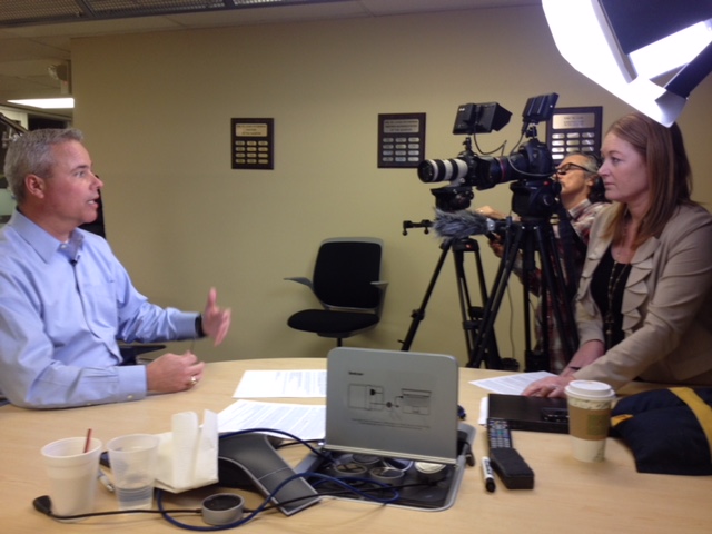
Interview-driven content remains one of the most effective tools in commercial video because it is clear, adaptable, and credible. It allows a company to speak directly to its audience through leadership, staff, customers, or subject-matter experts. It can be formal, conversational, technical, or story-driven, depending on the intended message.
This format continues to work because it can support so many communication goals at once, including:
- company overview videos
- executive and leadership messaging
- customer testimonials
- recruiting and culture videos
- educational and training media
- case studies
- internal communications
- service or product explainers
- nonprofit messaging
- website and landing page content
The most cost-effective aspect of interview production is that one session can serve many uses. With the right planning, the footage can be edited into a primary video, several short-form assets, social clips, internal cutdowns, and additional media for future campaigns.
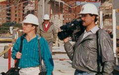
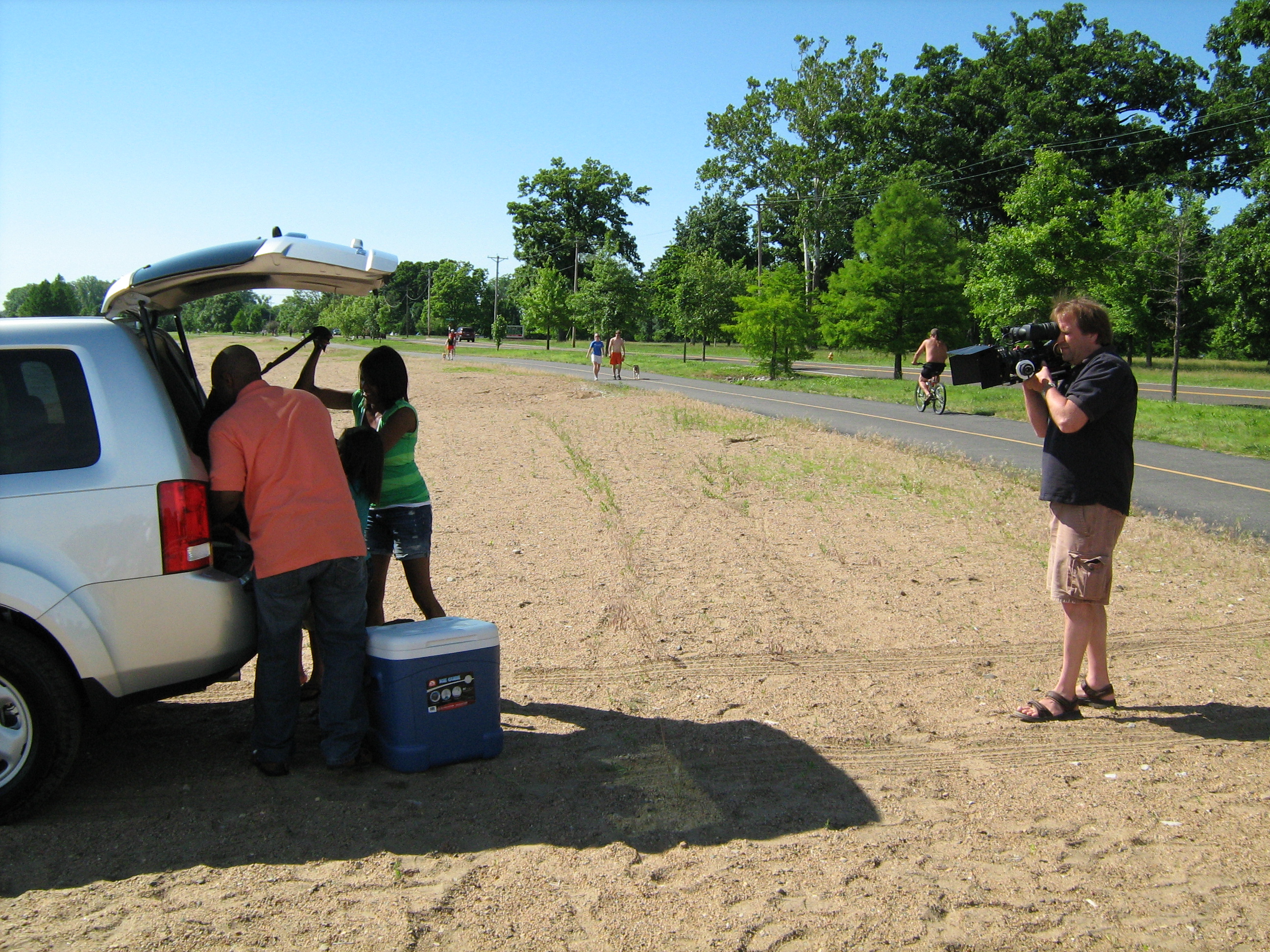
Why B-Roll Is Essential to a Strong Interview Video
Even the most articulate interview subject cannot carry a finished production alone. B-roll gives the editor what is needed to support key points visually, smooth transitions, improve pacing, hide edits, and create a more polished and dynamic final piece.
For business and organizational video, b-roll may include:
- office environments
- staff interaction
- operations and workflows
- equipment and machinery in use
- products and service demonstrations
- facility exteriors and interiors
- environmental details
- customer-facing activity
- transportation or logistics visuals
- aerial perspectives of buildings, campuses, land, or infrastructure
Strong b-roll does more than decorate an edit. It provides evidence, context, and visual variety. It also helps marketing teams create more content from the same production day because the footage can be reused in future edits across many platforms.
Economical Production Is Really About Efficiency and Reusability
Many organizations think of economical production as simply keeping the price down. In practice, the better measure is whether the project generates enough high-quality, adaptable media to justify the investment. A cheaper production that lacks planning, misses important shots, or yields limited deliverables is rarely economical in the long run.
A more efficient and valuable production usually depends on a few core ideas.
Production Should Begin with a Clear Plan
Before the cameras come out, the team should know what story is being told, who needs to be interviewed, what locations matter, what aerial imagery will add value, and what finished assets should come out of the shoot.
This planning helps answer important questions such as:
- Should the interviews happen in a studio, on location, or both?
- What b-roll and aerial visuals are essential to support the message?
- What deliverables are needed now, and which ones may be needed later?
- What type of camera, lighting, audio, and drone support is appropriate?
- How can the production be structured to avoid wasted time?
Good planning protects both budget and quality.
The Crew Should Match the Project
An economical production is not always the smallest one. It is the one staffed correctly. Some projects can be handled efficiently by a lean crew with broad technical experience. Others benefit from a larger team that can move faster, manage lighting and sound more effectively, and capture more footage in less time.
The right crew size depends on the scope, location complexity, number of interview subjects, and how much supporting coverage is needed.
Every Shoot Should Be Built for Repurposing
One of the greatest advantages of interview and b-roll productions is that they can provide much more than one finished video. When the footage is captured intentionally, a company can often use the same production to create multiple assets for multiple audiences.
That may include:
- a main brand or campaign video
- short website support clips
- social media cutdowns
- recruiting edits
- vertical and square versions
- archival b-roll for future campaigns
- still frames for graphics or thumbnails
That kind of reuse is one of the main reasons these productions remain such a strong value.
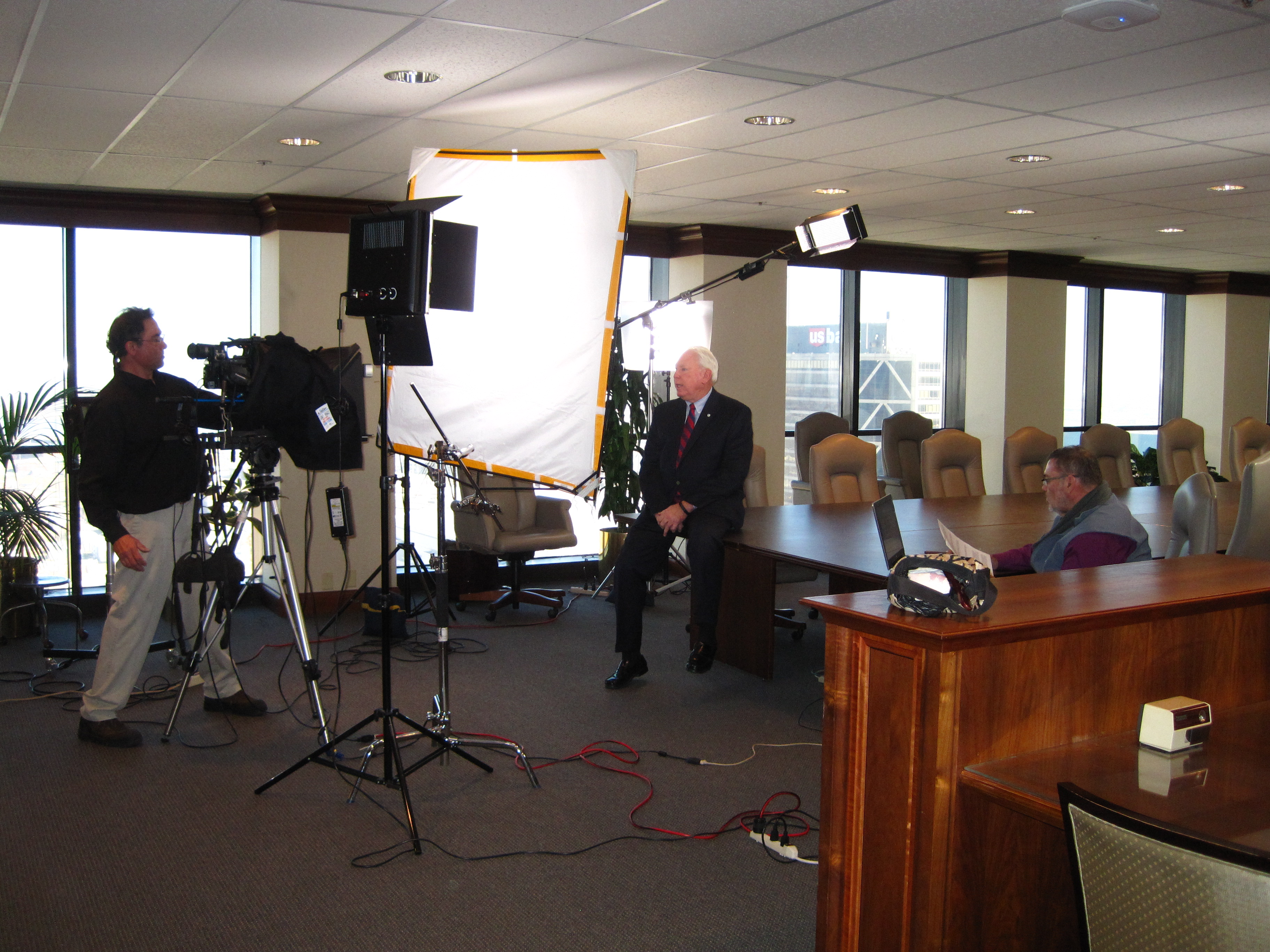
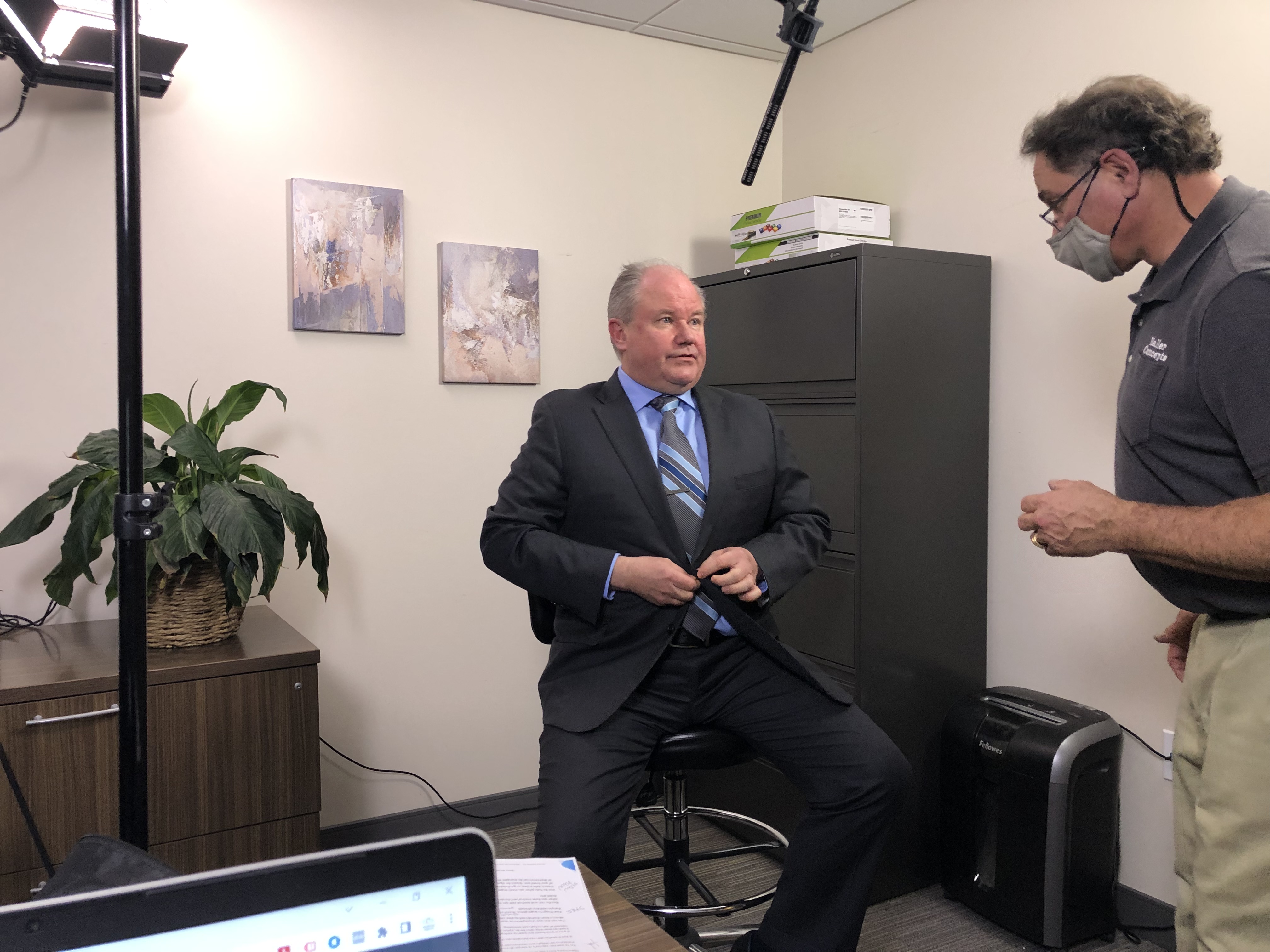
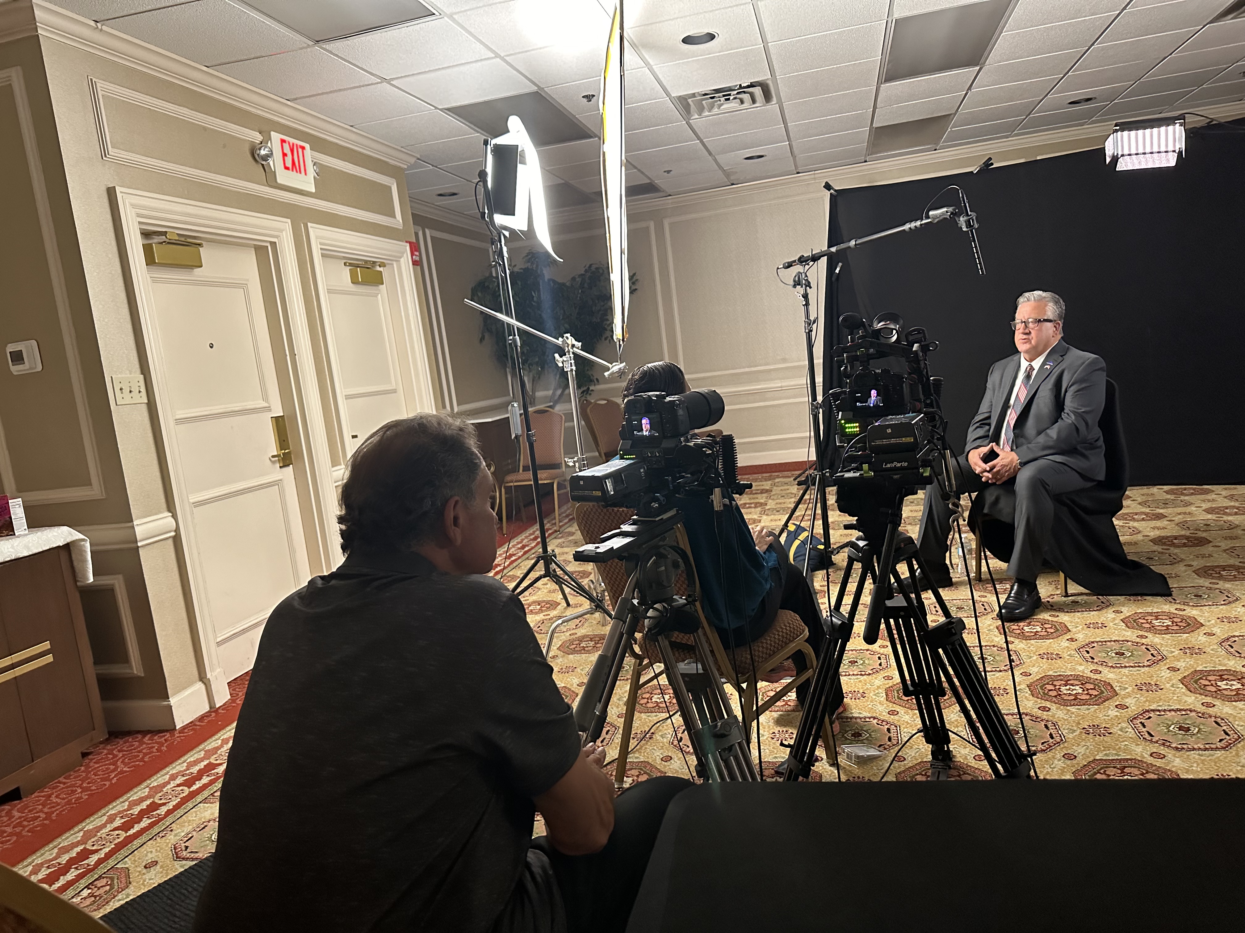
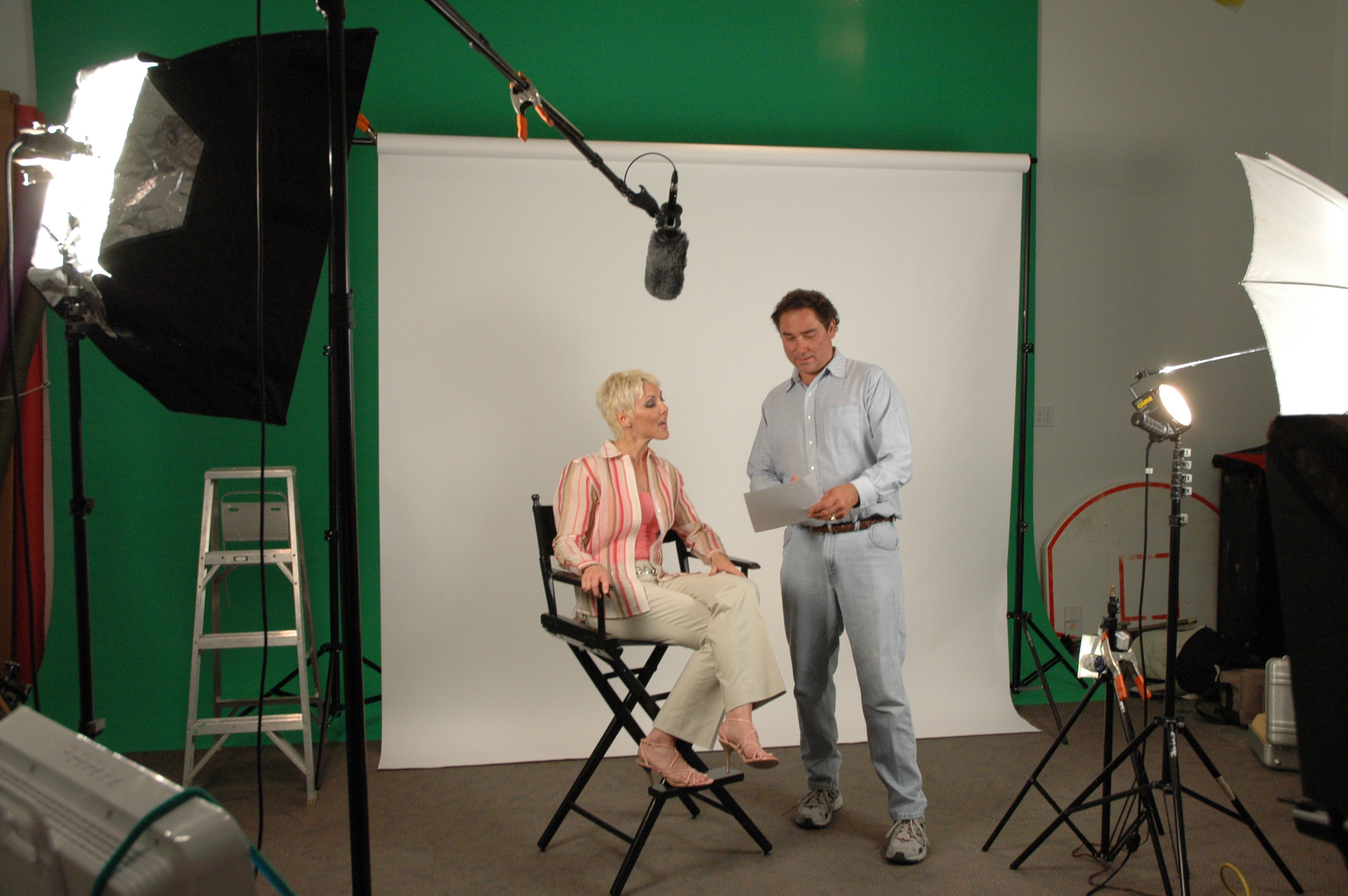
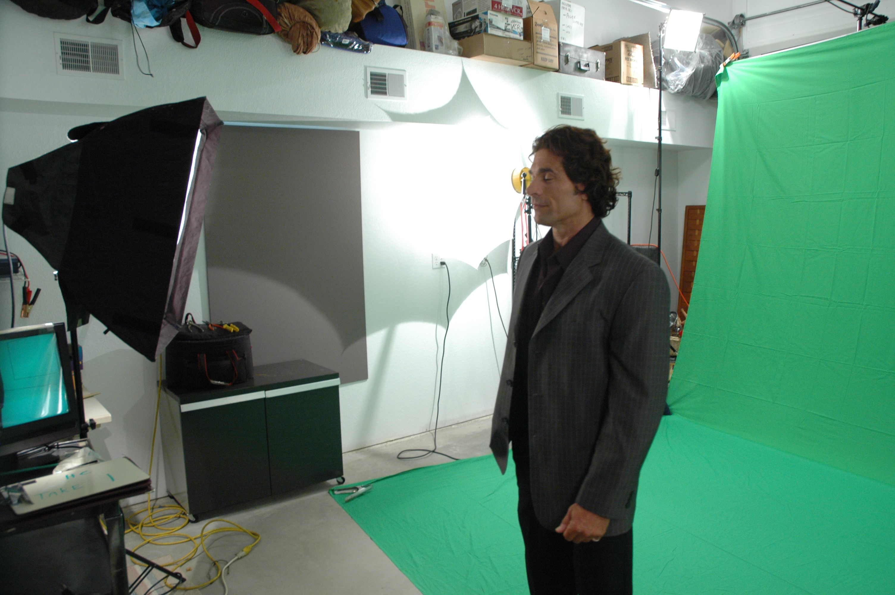
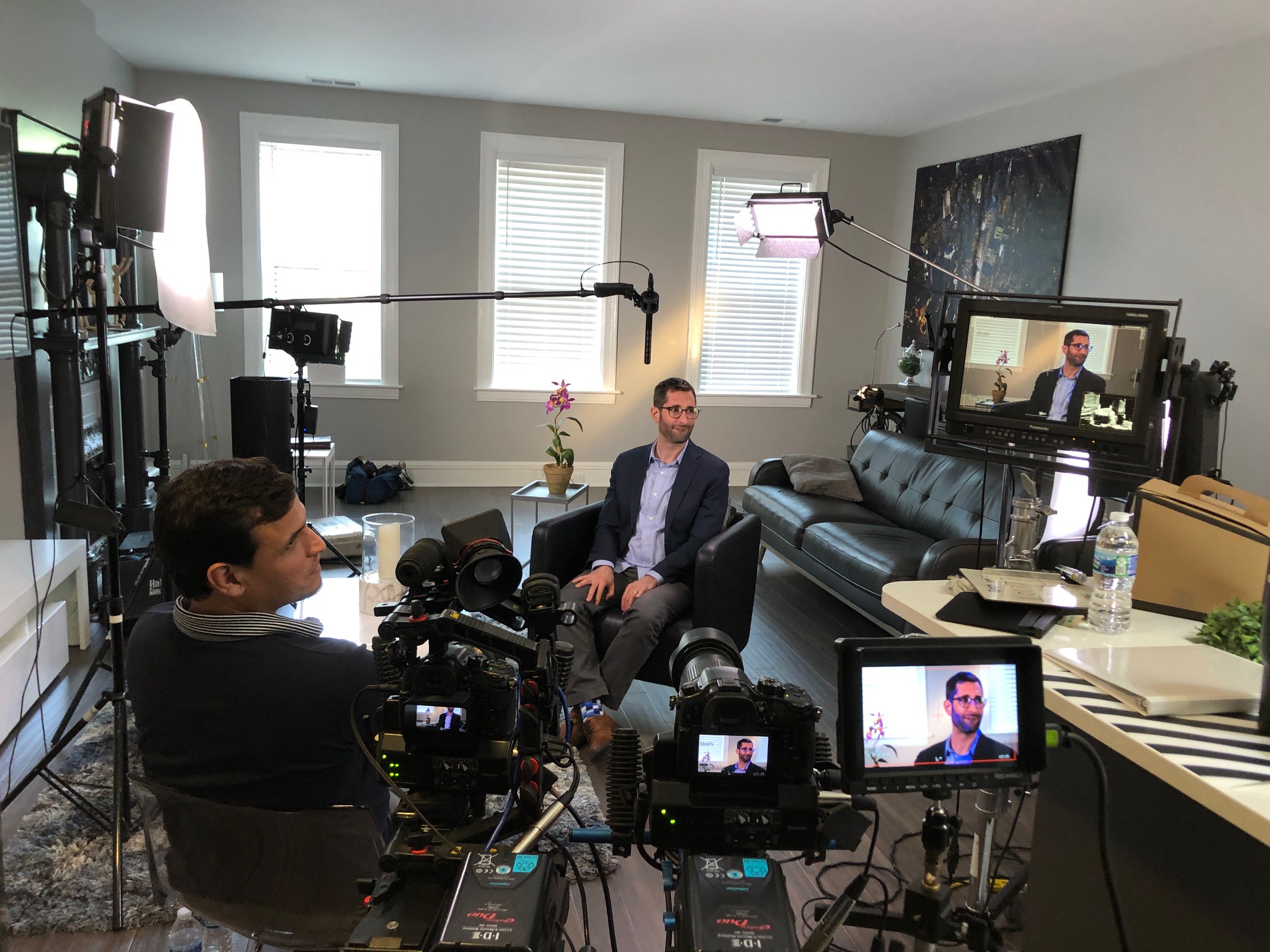
Studio Interviews Offer Control and Consistency
A studio interview gives the production team control over lighting, sound, background, pacing, and overall presentation. For many business videos, that level of control is extremely useful. It creates a cleaner, more polished look and often reduces production risks related to noise, weather, and inconsistent lighting.
Studio interviews are often ideal for:
- executive messages
- formal brand presentations
- educational videos
- spokesperson content
- training materials
- ongoing content series
- custom-set interview productions
For organizations that want a highly refined visual presentation, the studio can be the most efficient and dependable choice.
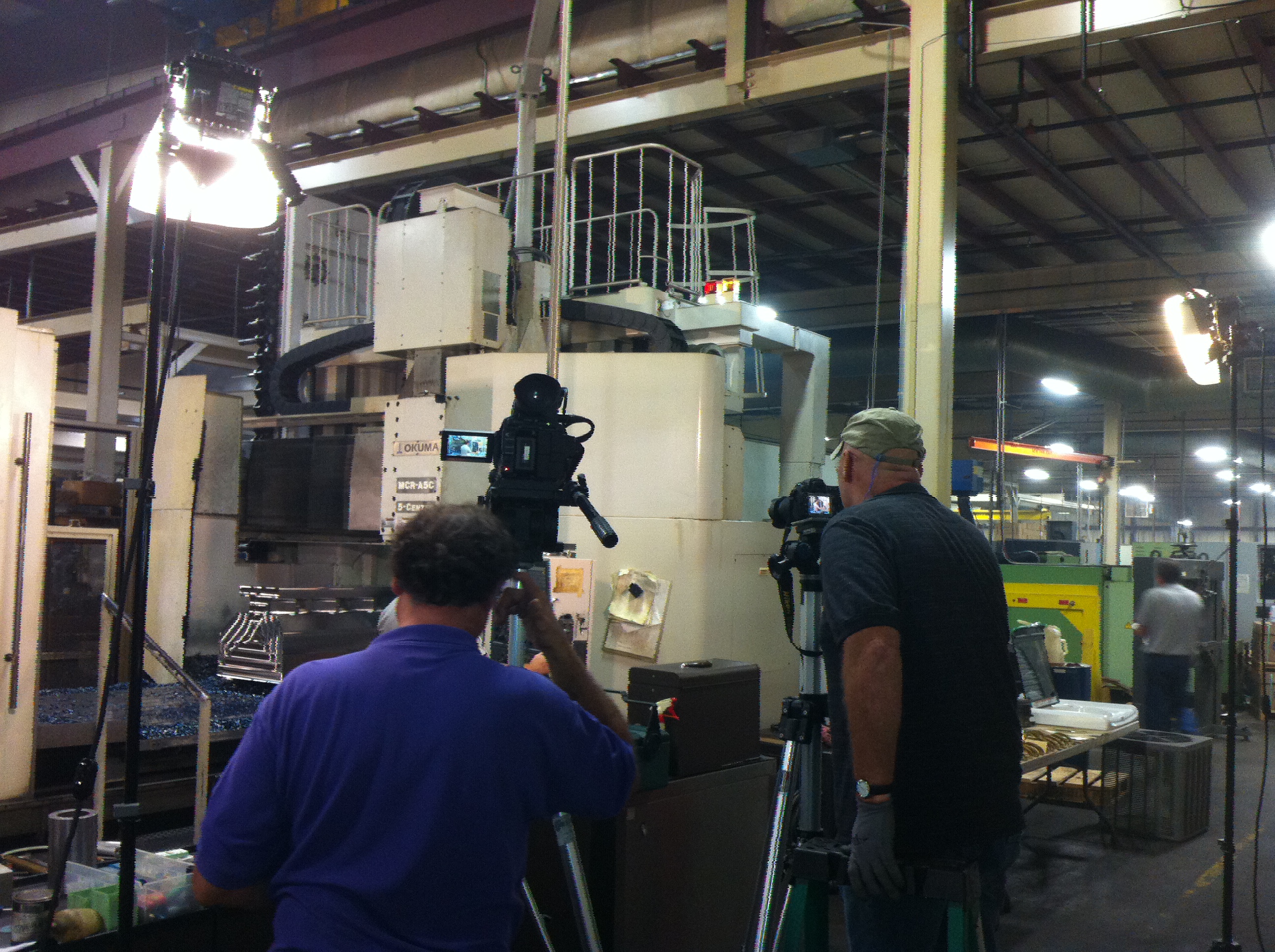
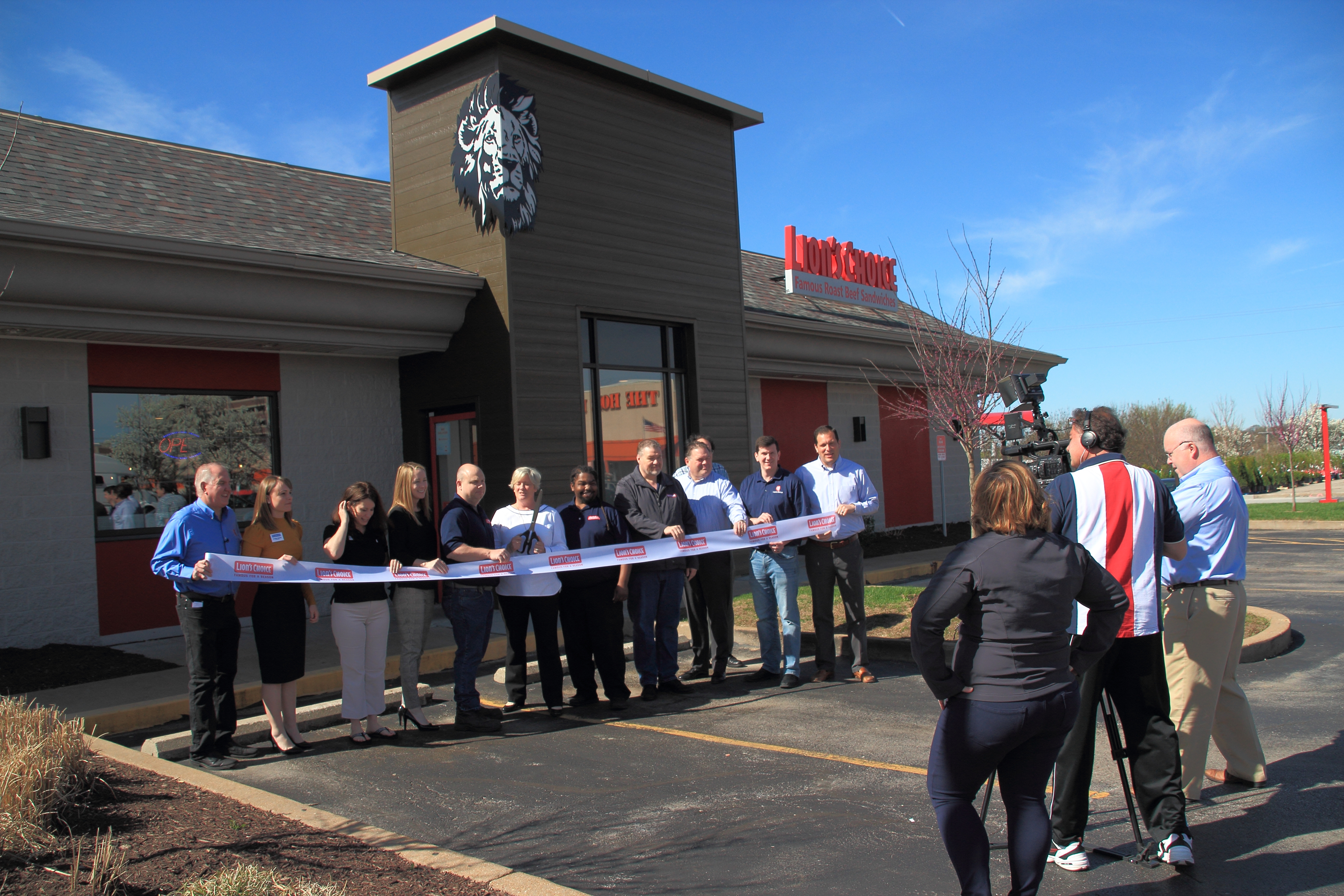
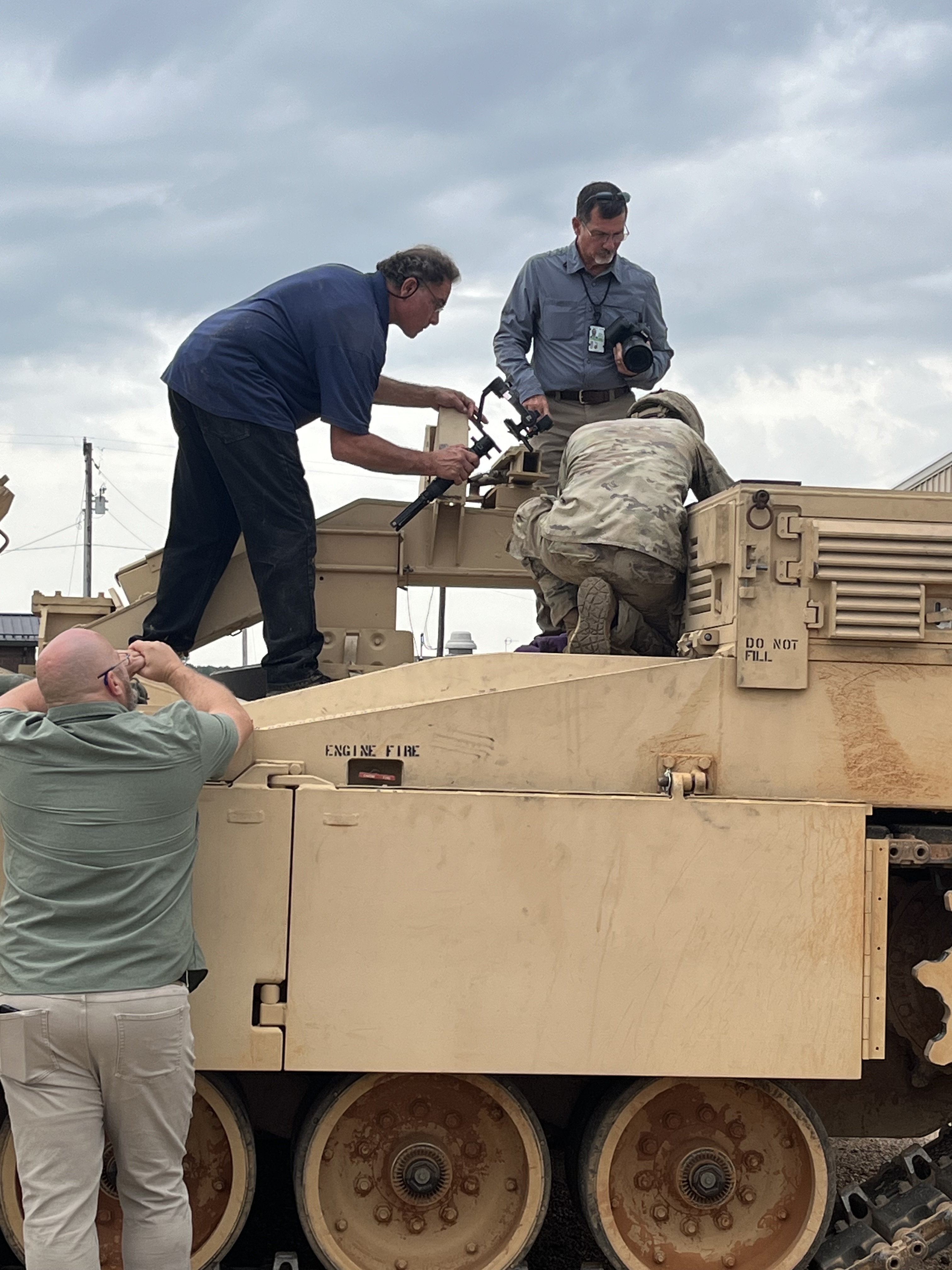
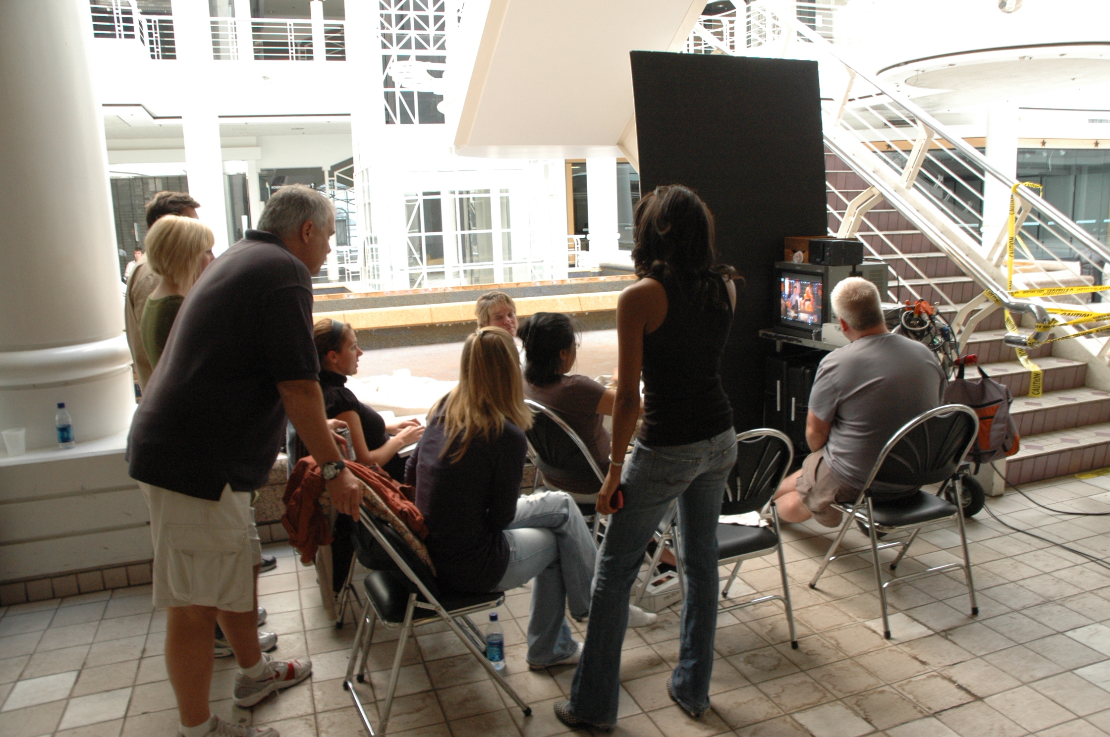
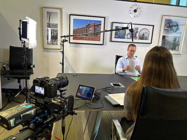
Location Interviews Add Authenticity and Real-World Context
A location interview introduces something different: visual truth. It places the speaker in a real business environment and shows the audience something meaningful about the organization itself. This can be especially important when the setting is part of the story.
Location interviews are often effective for:
- customer testimonials
- recruiting videos
- workplace culture content
- industrial storytelling
- healthcare environments
- manufacturing and production features
- community and nonprofit messaging
- service business profiles
When done well, a location interview can feel more immediate and authentic. The challenge is making sure the environment supports the production instead of working against it. That requires experience with sound, lighting, staging, and camera positioning.
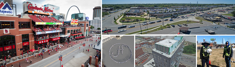
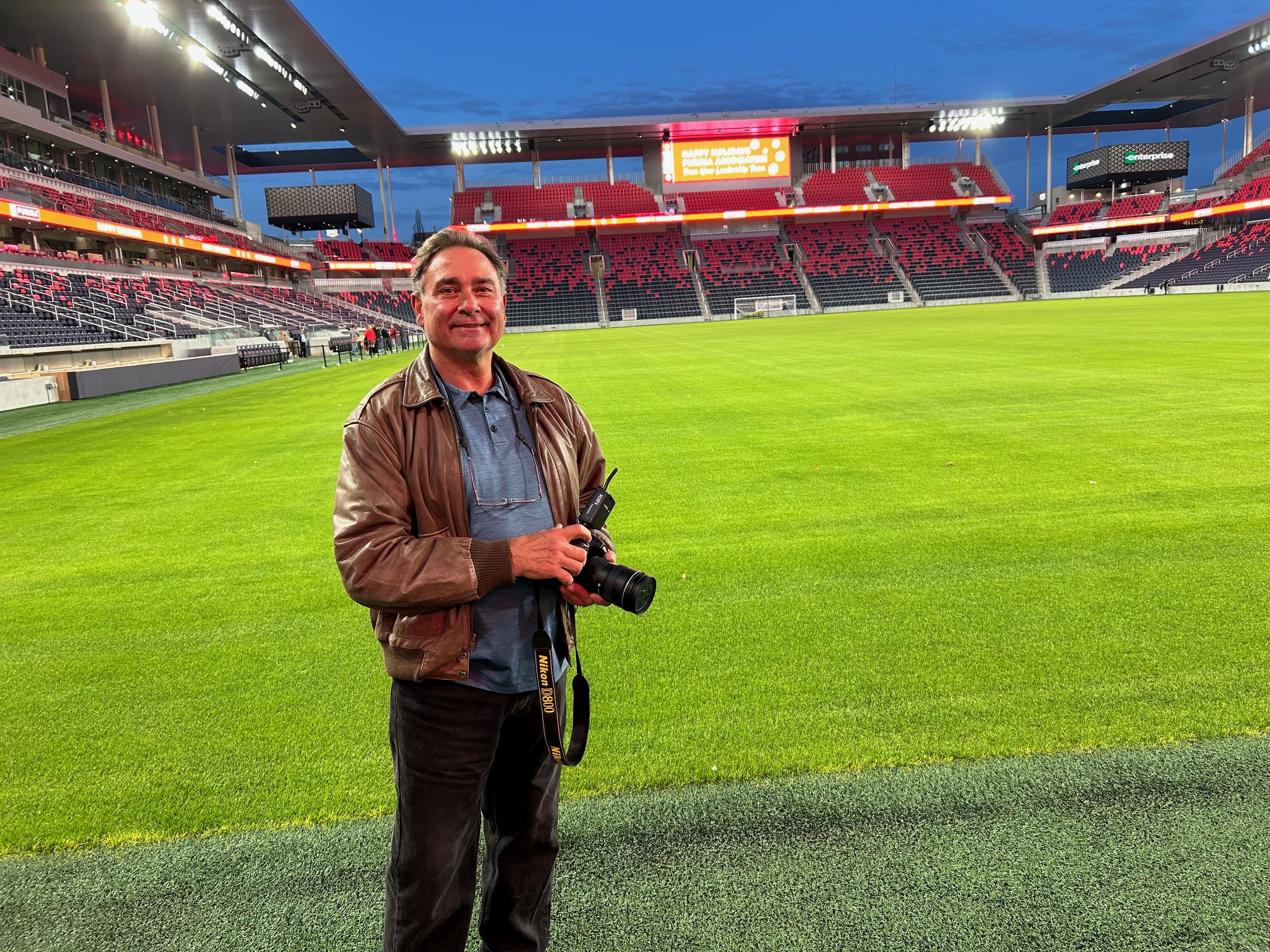
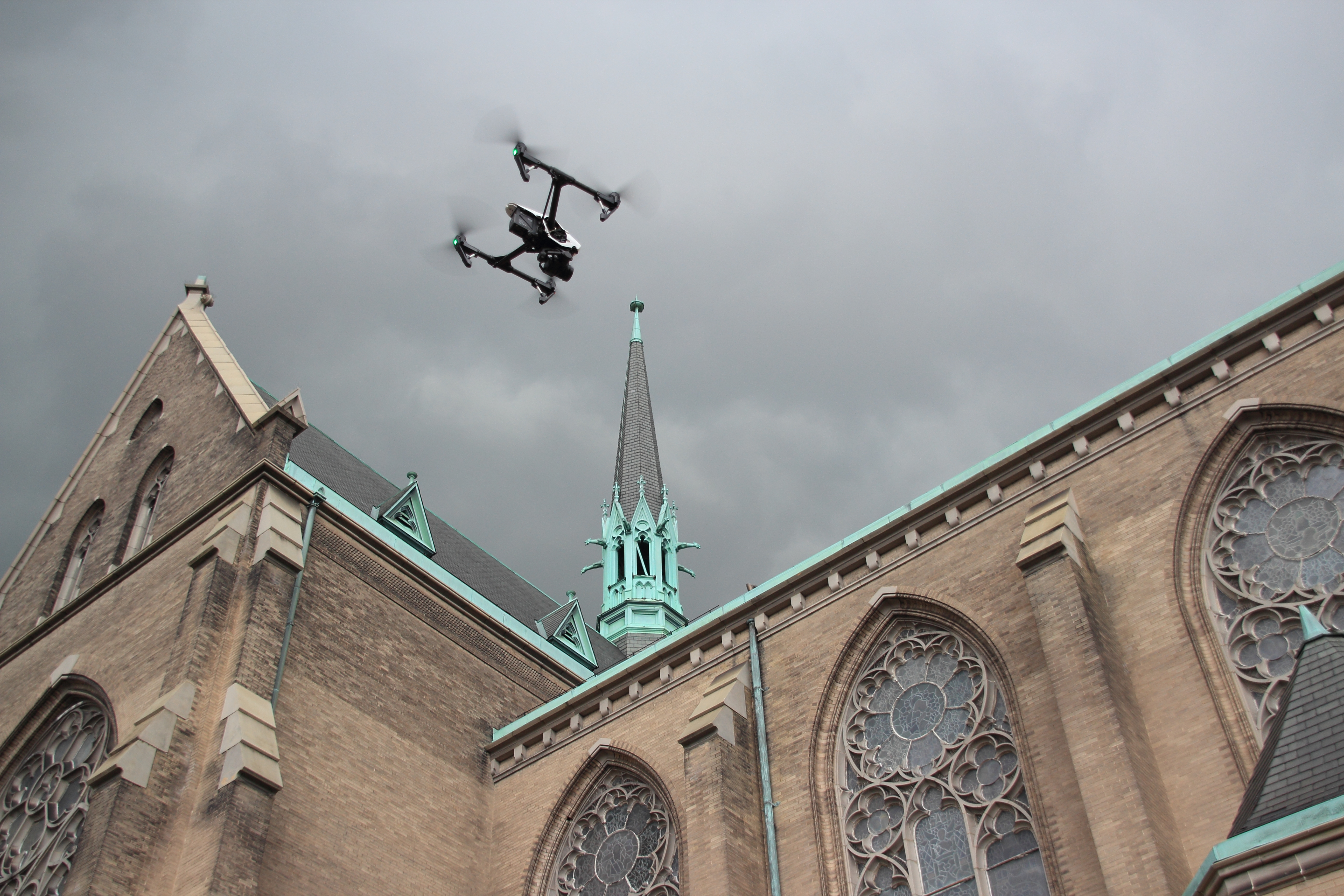
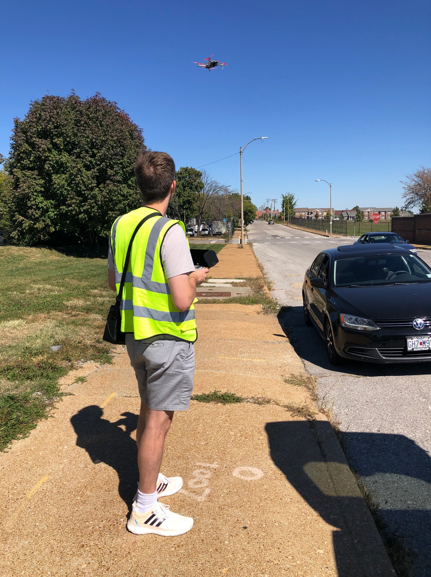
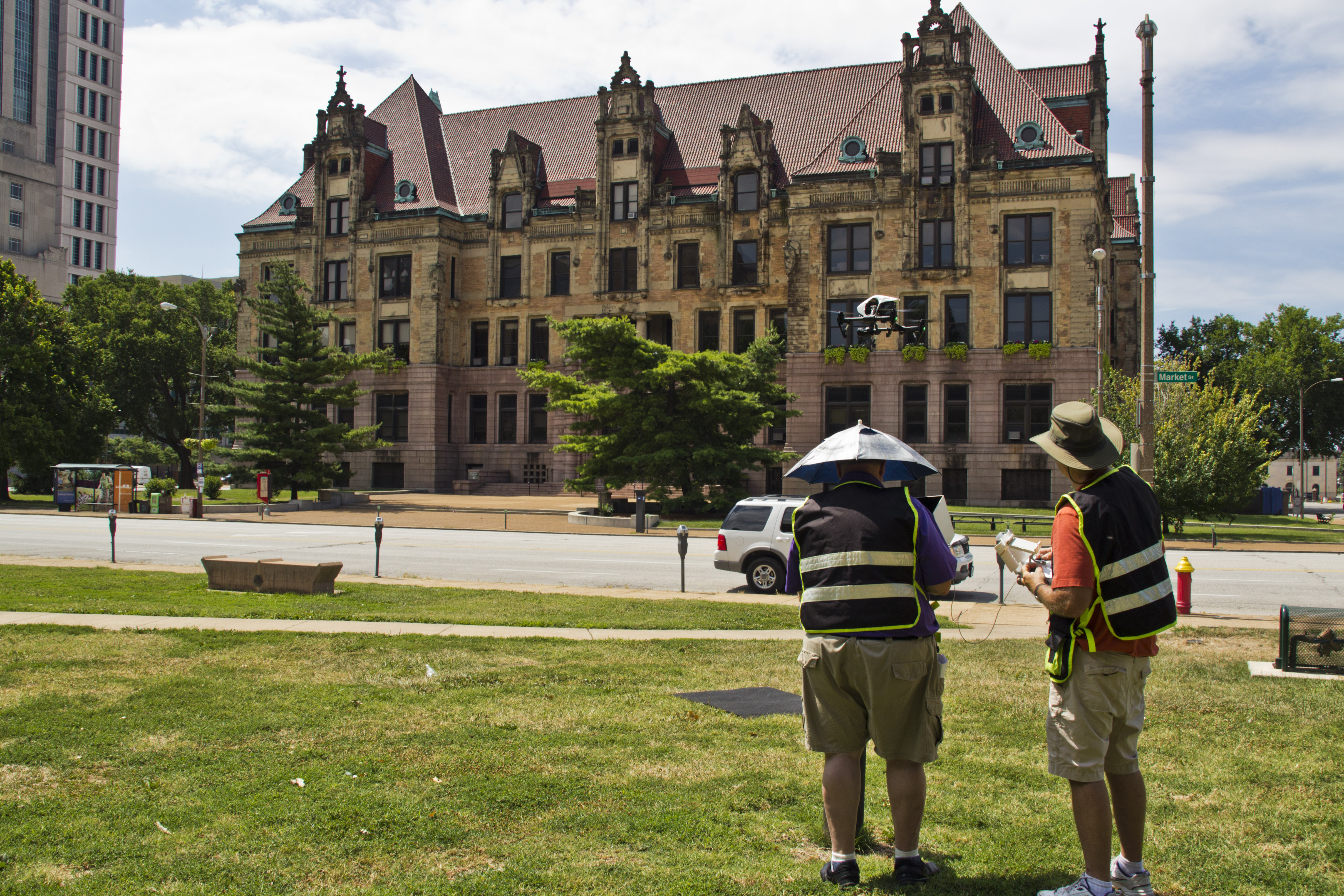
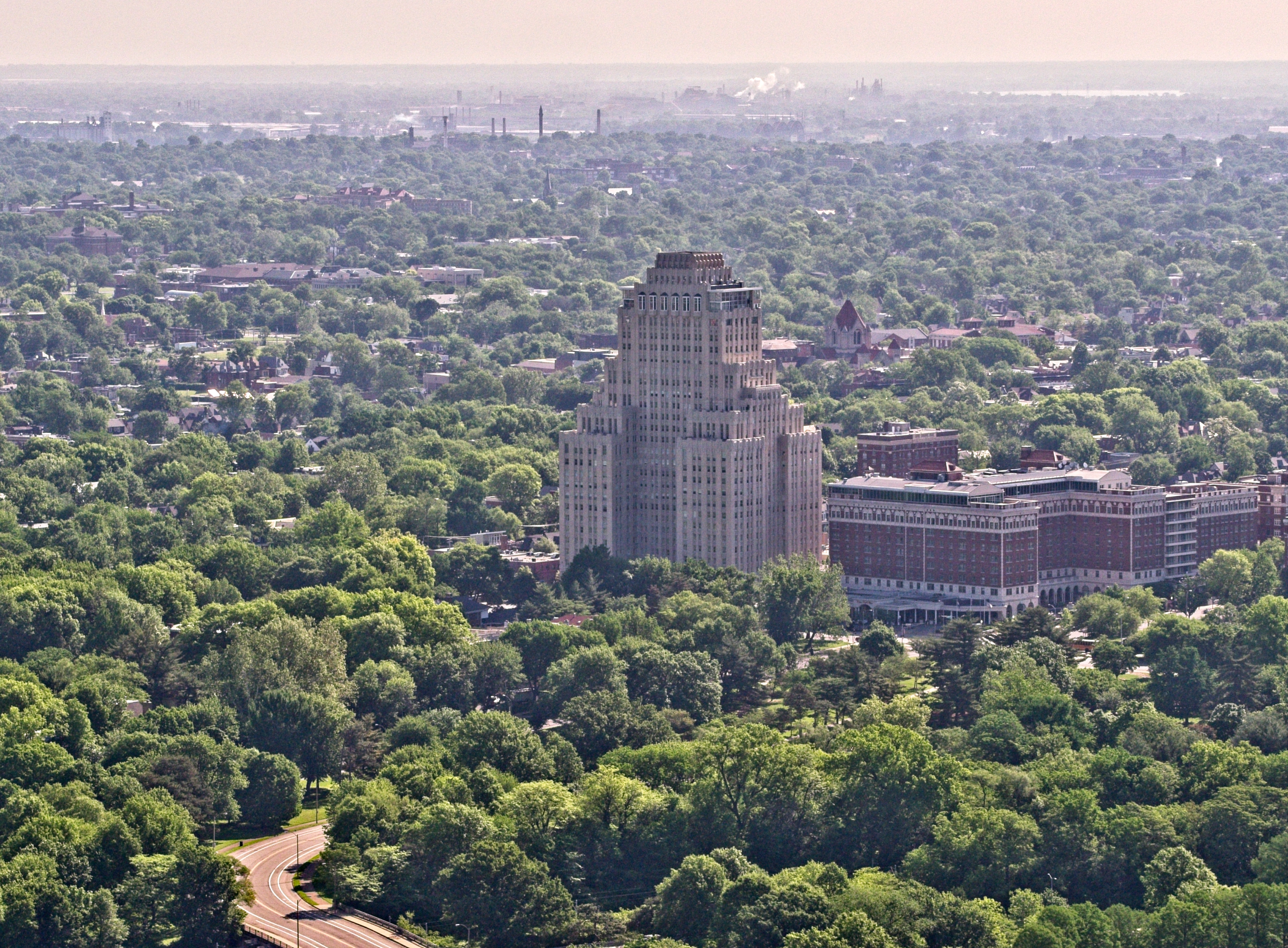
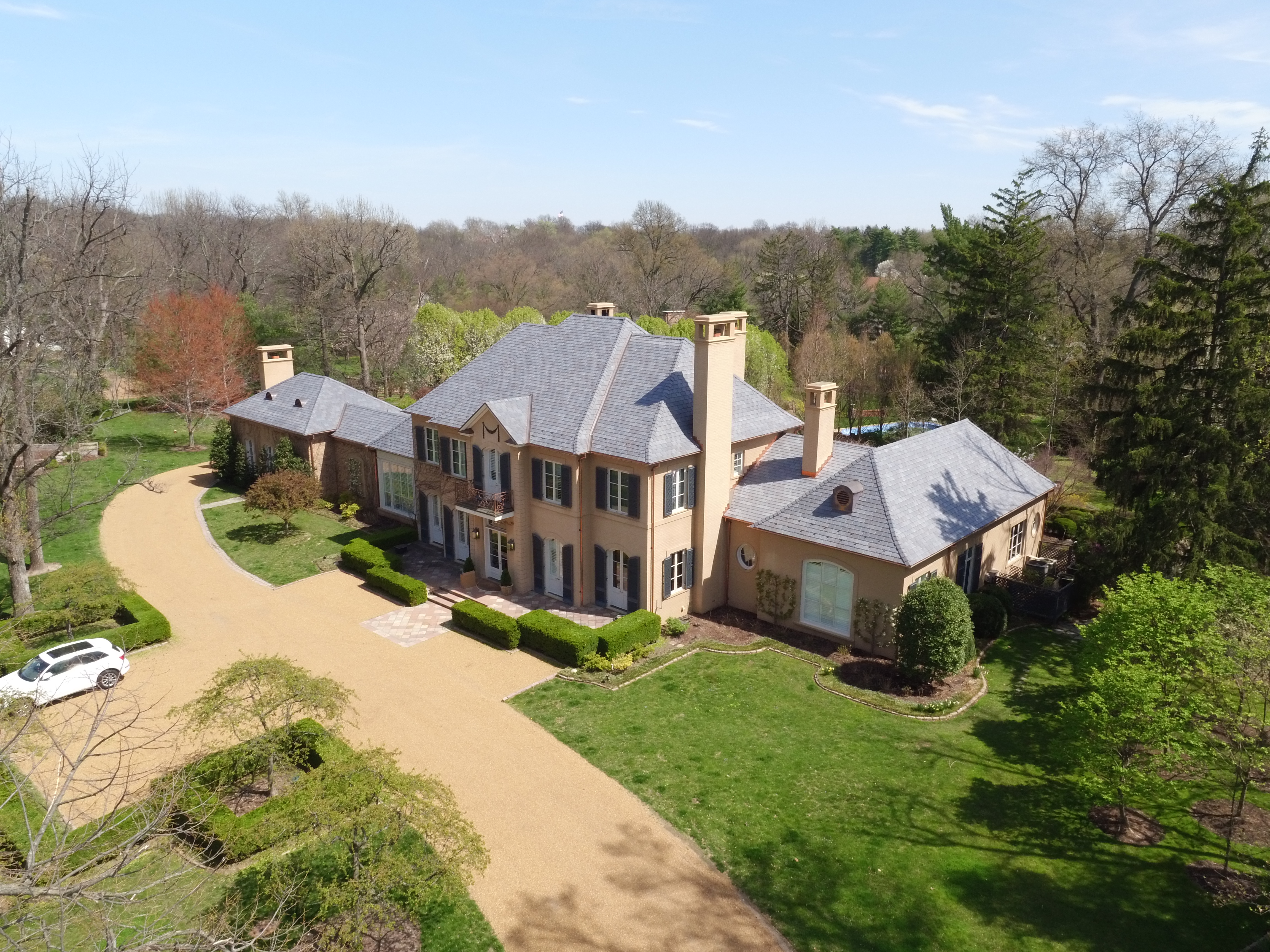
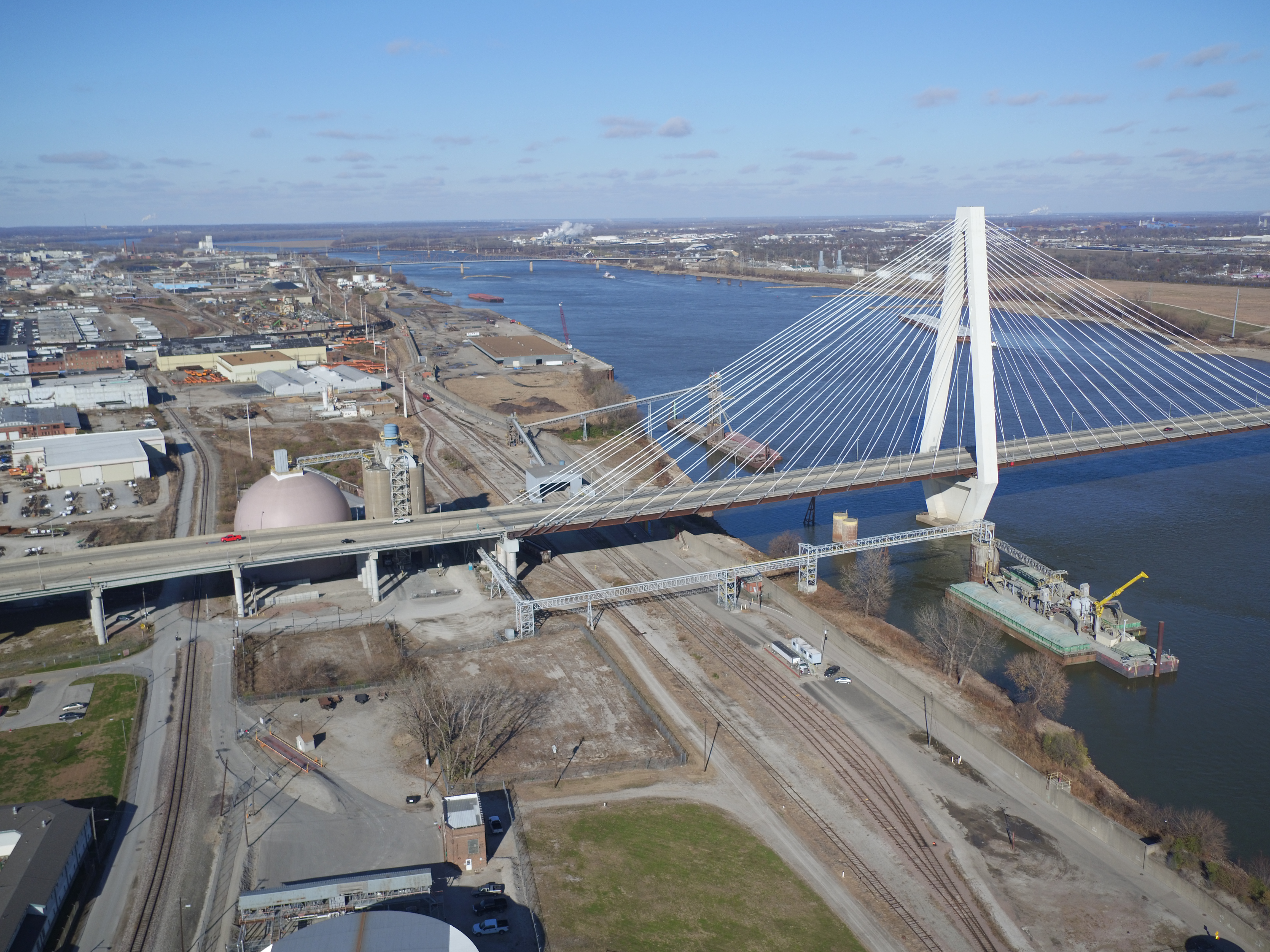
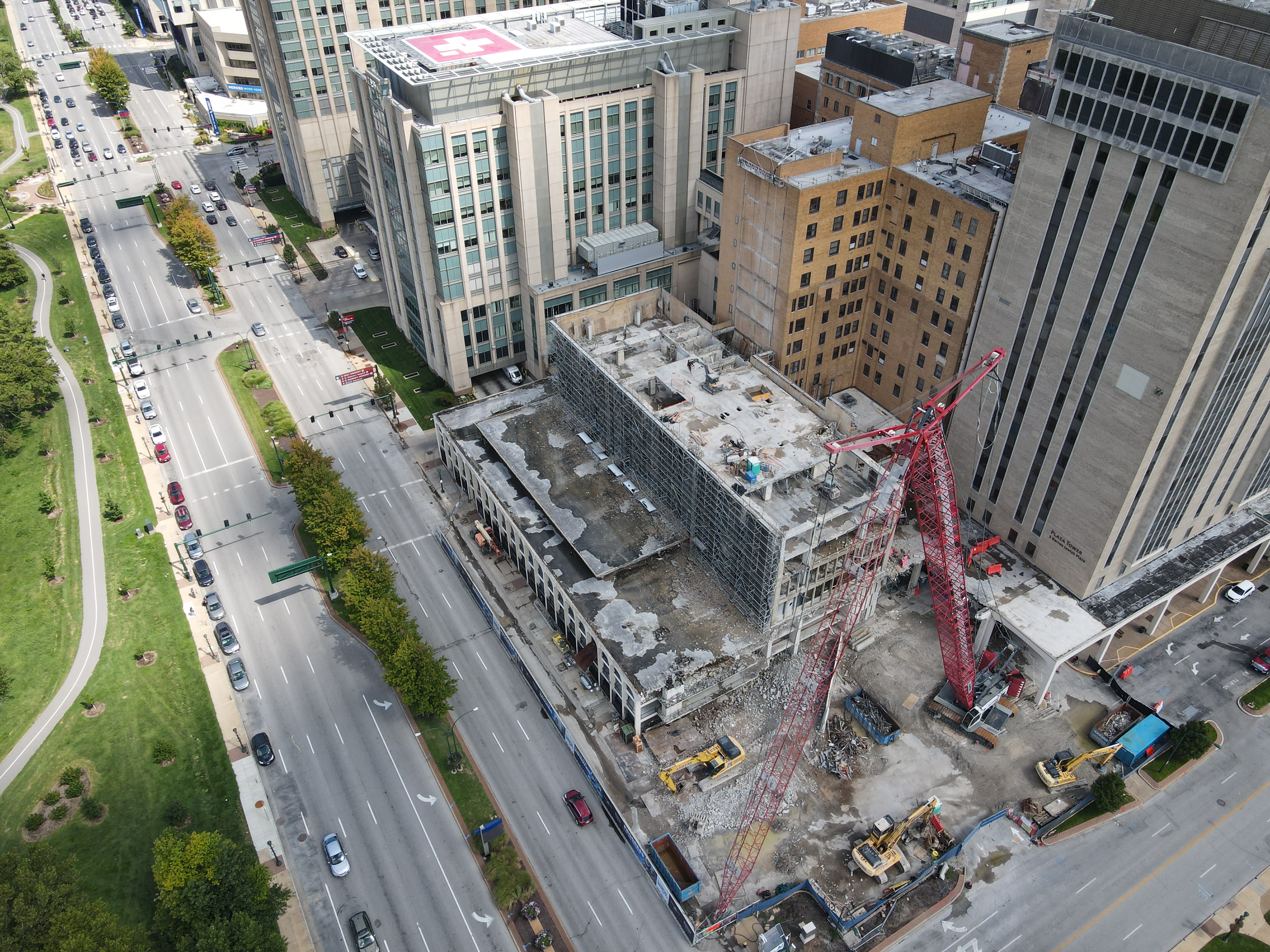
Why Aerial Photography and Video Add Strategic Value
Aerial imagery is one of the clearest ways to elevate an interview and b-roll production. It offers perspective, scale, orientation, and environmental context. For many businesses, this is not just visually attractive. It is informative.
Aerial photography and video can help show:
- the size and layout of a facility
- the relationship between buildings and surrounding property
- traffic flow or site access
- industrial operations
- construction progress
- campus environments
- agricultural land or large outdoor spaces
- commercial real estate features
- venue and event locations
When integrated properly, aerial visuals make a production feel more complete. They help viewers understand the setting, and they often provide the kind of high-impact establishing shots that strengthen the final edit immediately.
Economical Productions Often Benefit from Combining Studio, Location, and Aerial Work
Many of the best productions are not limited to one type of environment. A business may record clean interviews in a controlled studio, capture operational b-roll at its facility, and add aerial coverage to establish context and scale. That kind of hybrid approach often creates the strongest return on the production investment.
This model can deliver:
- polished interview quality
- real-world authenticity
- visual depth and variety
- more usable content for editors
- stronger storytelling
- better long-term footage value
For marketing teams, that combination is often the most practical way to get a broad content package without scheduling multiple disconnected productions.
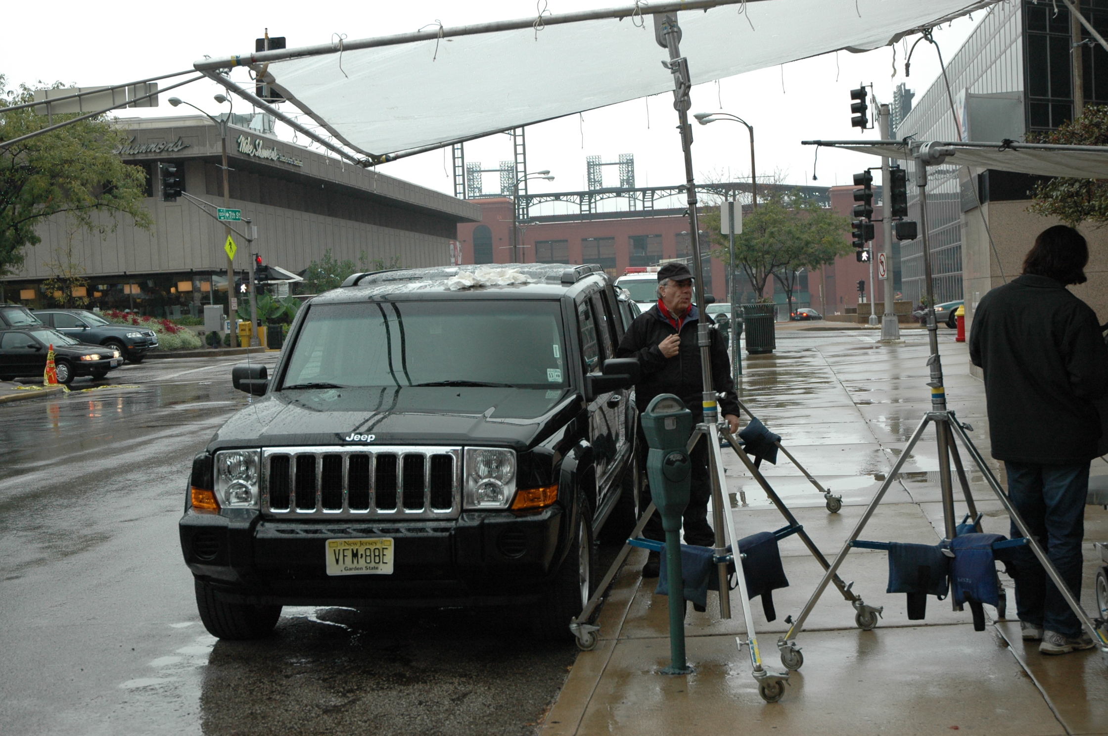
Location Scouting Helps Control Both Cost and Quality
Location scouting is one of the most overlooked parts of an economical production. A good location can improve sound, lighting, logistics, and visual interest all at once. A poor location can slow everything down, force compromises, and reduce the usefulness of the footage.
Scouting helps identify:
- better interview setups
- cleaner backgrounds
- lighting opportunities
- ambient noise issues
- access and parking logistics
- staging options
- drone launch and flight feasibility
- the best times of day for exterior and aerial coverage
For companies shooting in and around St. Louis, local production knowledge can be a major advantage in keeping the day efficient.
B-Roll Specialists Make Editing Stronger
The difference between random coverage and useful b-roll becomes obvious in the edit. Editors need footage with variation, movement, detail, and relevance. They need shots that support the spoken message and offer options for pacing and structure.
A skilled crew captures b-roll with the final piece in mind. That means getting:
- wide, medium, and detail shots
- active and static visuals
- environmental context
- branded elements
- human interaction
- natural transitions
- complementary aerial perspectives where appropriate
This approach gives the finished video more polish and gives the client more long-term value.
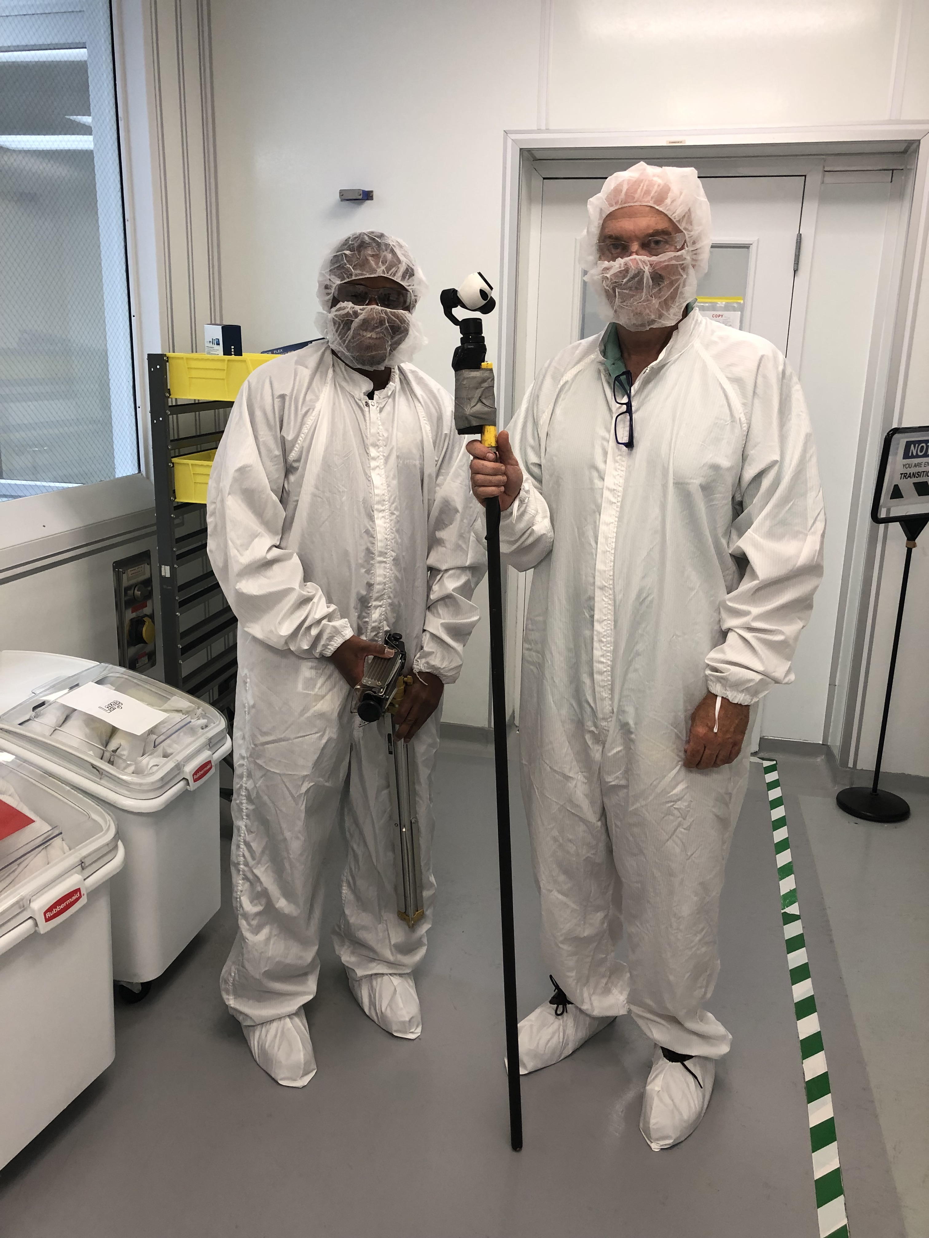
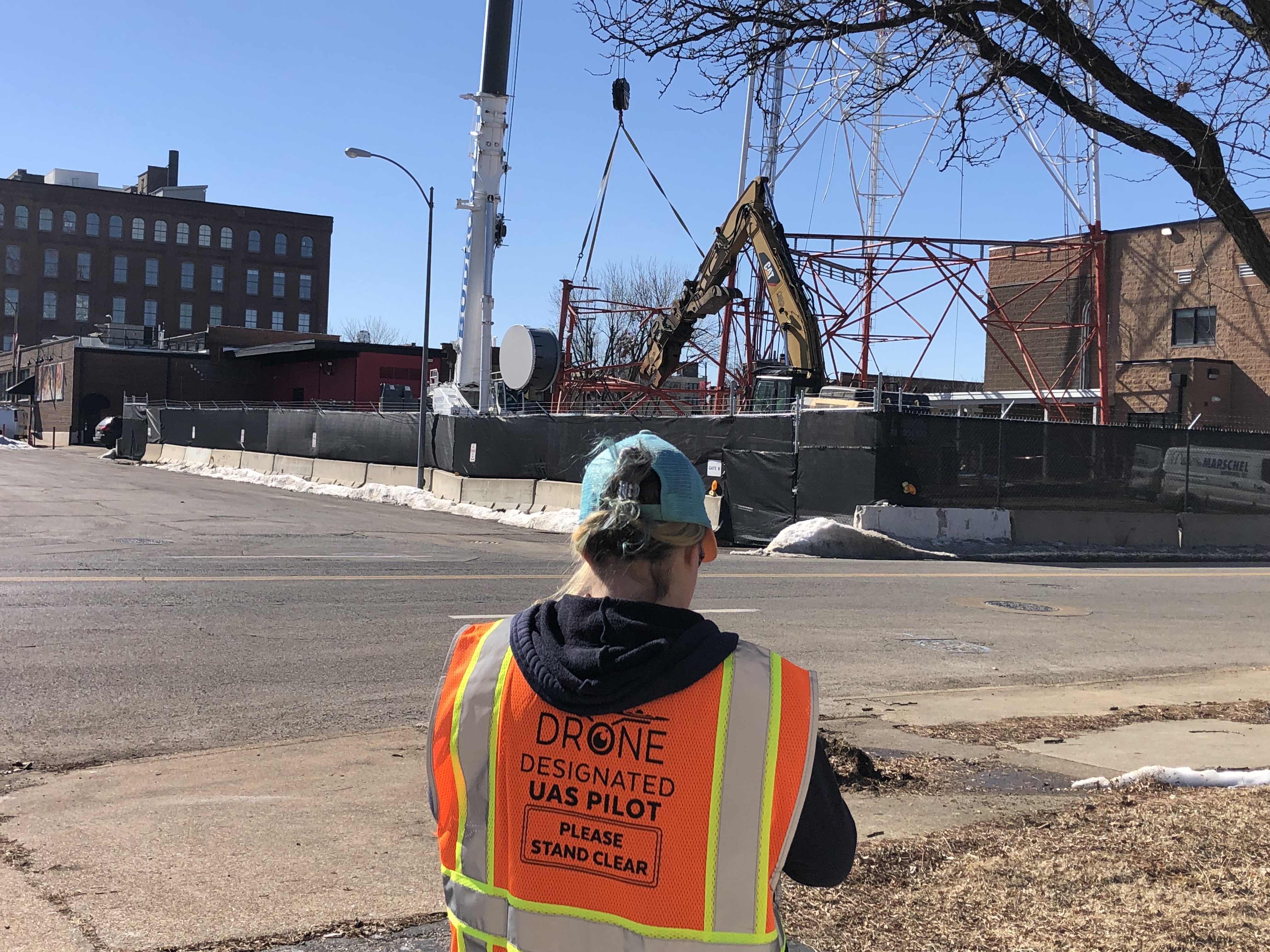
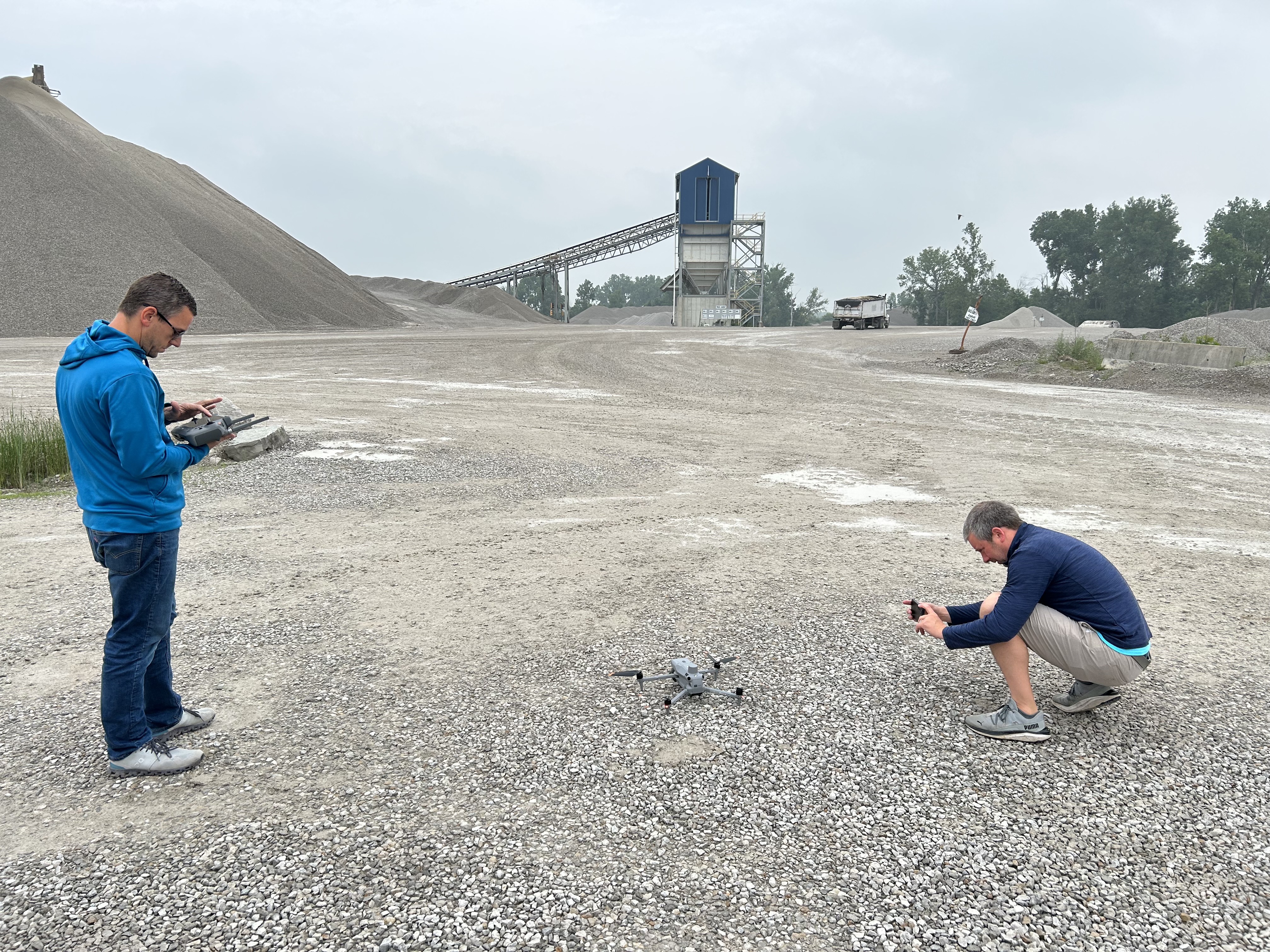
Specialized Drone Services Expand What a Production Can Do
In some cases, the same production partner can also provide additional aerial services that go beyond standard marketing footage. That can be especially useful for organizations with industrial, technical, property, or documentation needs.
Specialized drone services may include:
- infrared thermal imaging
- orthomosaics
- LiDAR applications
- site documentation
- inspection support
- large-property visual mapping
For some businesses, these services can complement marketing goals while also supporting operations, facilities, planning, or project documentation.
Indoor FPV Drones Open New Creative Possibilities
Another advantage in specialized production is indoor FPV drone capability. For warehouses, manufacturing plants, office interiors, venues, athletic spaces, and other environments, FPV drones can provide smooth, immersive movement through a location in ways that traditional cameras often cannot.
That type of footage can help viewers understand:
- layout and scale
- workflow
- customer experience
- operational movement
- the energy and personality of a space
Used selectively, these shots can add a modern and memorable visual layer to an interview and b-roll production.
What Decision Makers Should Look for in a Production Partner
When businesses and organizations in St. Louis evaluate production partners for economical interview, b-roll, and aerial content, they should look beyond basic pricing and ask whether the team understands how to build a project that will remain useful across many media needs.
That means choosing a team with experience in:
- interview production
- studio and location work
- professional audio and lighting
- b-roll planning
- aerial photography and video
- location scouting
- post-production and delivery
- repurposing strategy
- local commercial production needs
A strong partner helps the client avoid waste, create better footage, and get more long-term value from each production day.
Final Thoughts
Studio and location crew support for economical video interviews and b-roll in St. Louis becomes even more valuable when aerial photography is part of the strategy. Interviews bring the message. B-roll builds the story. Aerial coverage adds scale, context, and visual impact. When all three are planned together, businesses and organizations can create a much stronger and more flexible content library without unnecessary duplication of effort.
At St Louis Aerial Photography, we understand how to combine these elements into professional, efficient productions for businesses and organizations that need strong visual communication. St Louis Aerial Photography is a full-service professional commercial photography and video production company with the right equipment and creative crew service experience for successful image acquisition. We offer full-service studio and location video and photography, as well as editing, post-production, and licensed drone services. St Louis Aerial Photography can customize your productions for diverse types of media requirements. Repurposing your photography and video branding to gain more traction is another specialty. We are well-versed in all file types and styles of media and accompanying software. We use the latest in Artificial Intelligence for all our media services. Our private studio lighting and visual setup is perfect for small productions and interview scenes, and our studio is large enough to incorporate props to round out your set. We support every aspect of your production, from setting up a private, custom interview studio to supplying professional sound and camera operators, as well as providing the right equipment, ensuring your next video production is seamless and successful. We are location scouting and b-roll specialists. We can also fly our specialized FPV drones indoors. Other drone special services include infrared thermal, orthomosaics, and LiDAR. As a full-service video and photography production corporation serving the St. Louis area since 1982, St Louis Aerial Photography has worked with many businesses, marketing firms, and creative agencies in the St. Louis area for their marketing photography and video.


")


