In the fast-paced world of construction management, accurate data and visual insights are essential for making informed decisions. Traditional methods of site surveying and progress documentation often leave gaps—gaps that can lead to costly mistakes and schedule delays. Fortunately, drone technology has emerged as a transformative tool, helping construction managers plan more effectively, monitor progress more precisely, and deliver better results for their clients.
At St Louis Aerial Photography, we’ve seen firsthand how aerial imaging is reshaping construction workflows. Let’s explore exactly how drones empower construction managers to make better plans—and why choosing an experienced team like ours is crucial for your project’s success.
Real-Time, High-Resolution Site Surveys
Drone imagery provides an up-to-date, comprehensive view of a construction site within hours rather than days or weeks. Construction managers can quickly access high-resolution orthomosaic maps, 3D models, and detailed photographs that offer centimeter-level accuracy. These aerial surveys allow teams to:
- Verify site conditions before and during construction.
- Identify obstacles that might delay progress.
- Optimize site logistics, such as material staging and equipment access.
- Cross-check actual site progress against architectural and engineering plans.
Instead of relying on outdated satellite images or manual site walks, managers can get a bird’s-eye view that’s not only faster but far more detailed.
Streamlining Project Planning and Design Adjustments
Construction plans are rarely static. Changes and modifications are part of the job. With drone data, managers have an agile tool to:
- Spot design conflicts early before they turn into expensive reworks.
- Adjust grading, drainage, and utility layouts based on accurate topographical information.
- Model future phases of construction more realistically using current site conditions.
Having a drone-generated 3D model at your fingertips during planning meetings turns hypothetical discussions into actionable, visual strategies that save both time and money.


Enhanced Collaboration and Communication
Clear communication between stakeholders—developers, architects, engineers, contractors—is vital for a project’s success. Drone imagery bridges communication gaps by:
- Providing visual documentation of current site conditions at any stage.
- Sharing easily digestible aerial views in reports and presentations.
- Aligning the project team with consistent, real-time updates.
Instead of interpreting survey data or reading lengthy status reports, stakeholders can see exactly what’s happening on-site, leading to better, faster decision-making.
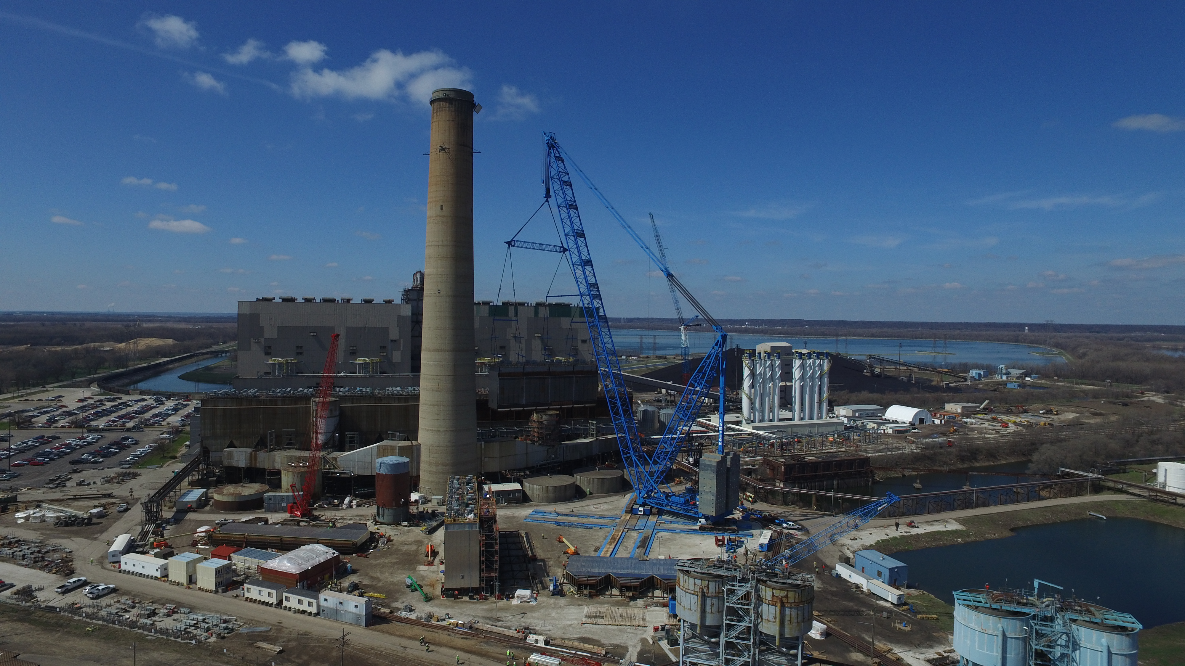
Safer Inspections and Monitoring
Construction sites are inherently risky environments. Drone technology allows managers to:
- Conduct routine inspections without putting workers at risk.
- Monitor hard-to-reach areas, such as roofs, bridges, and tall structures, safely from the ground.
- Identify safety hazards early, helping to maintain a secure site for all personnel.
By reducing the need for ladders, scaffolding, and other elevated work, drones directly contribute to a safer work environment.
Progress Tracking and Documentation
Drones make it easy to document project milestones with precision. Regular flights can create a detailed timeline of:
- Earthwork progression
- Structural installations
- Site development benchmarks
These visual records are invaluable for client updates, contractor accountability, legal documentation, and future project marketing.
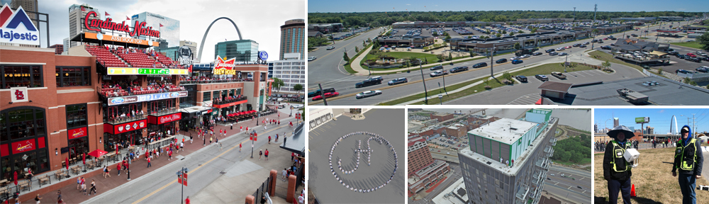
Why Choose St Louis Aerial Photography?
At St Louis Aerial Photography, we specialize in helping construction managers take full advantage of aerial imagery to optimize every phase of their projects. Since 1982, we have been a trusted partner for businesses, marketing firms, and creative agencies in the St. Louis area.
Our full-service capabilities include:
- Studio and location video and photography
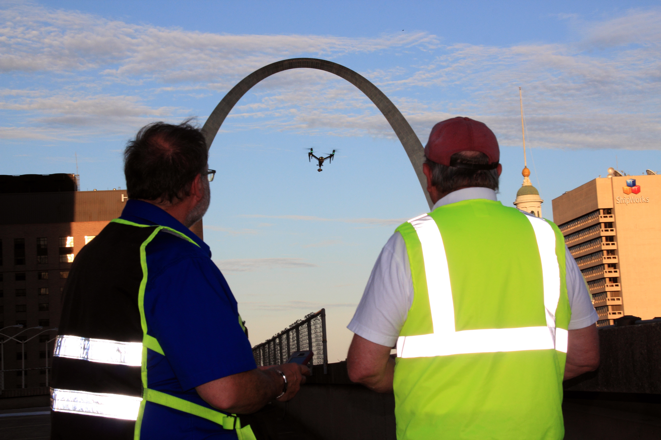
- Licensed and insured drone pilots
- Editing, post-production, and repurposing your media branding
- Customized aerial productions tailored to your unique project needs
- AI-enhanced media processing for sharper insights and faster turnaround times
- Private studio setups perfect for interviews, custom scenes, and small-scale productions
- Ability to fly specialized drones indoors for unique creative solutions
Our team is not just skilled in capturing beautiful visuals—we’re experts in the technical requirements, safety regulations, and creative storytelling that your projects demand. Whether you need detailed construction site mapping, marketing-ready aerial footage, or a complete video production package, St Louis Aerial Photography has the right equipment, the right team, and the right experience to deliver outstanding results.
Let us help you turn your next construction project into a smarter, safer, and more successful operation. Contact St Louis Aerial Photography today to learn how we can elevate your planning process.
