Corporate image videos live or die on clarity and authenticity. Viewers want to grasp who you are, what you do, and why it matters—fast. Aerial cinematography helps you do exactly that. Not because it’s flashy, but because the right aerial move gives instant context, shows scale, and connects people, place, and purpose in a single shot. Below is a practical, decision-maker’s guide to using drones to strengthen brand films without overcomplicating production.
The Core Value of Aerials (In Plain English)
- Context at a glance: A single rise-reveal can establish your footprint, location, and access better than twenty ground clips.
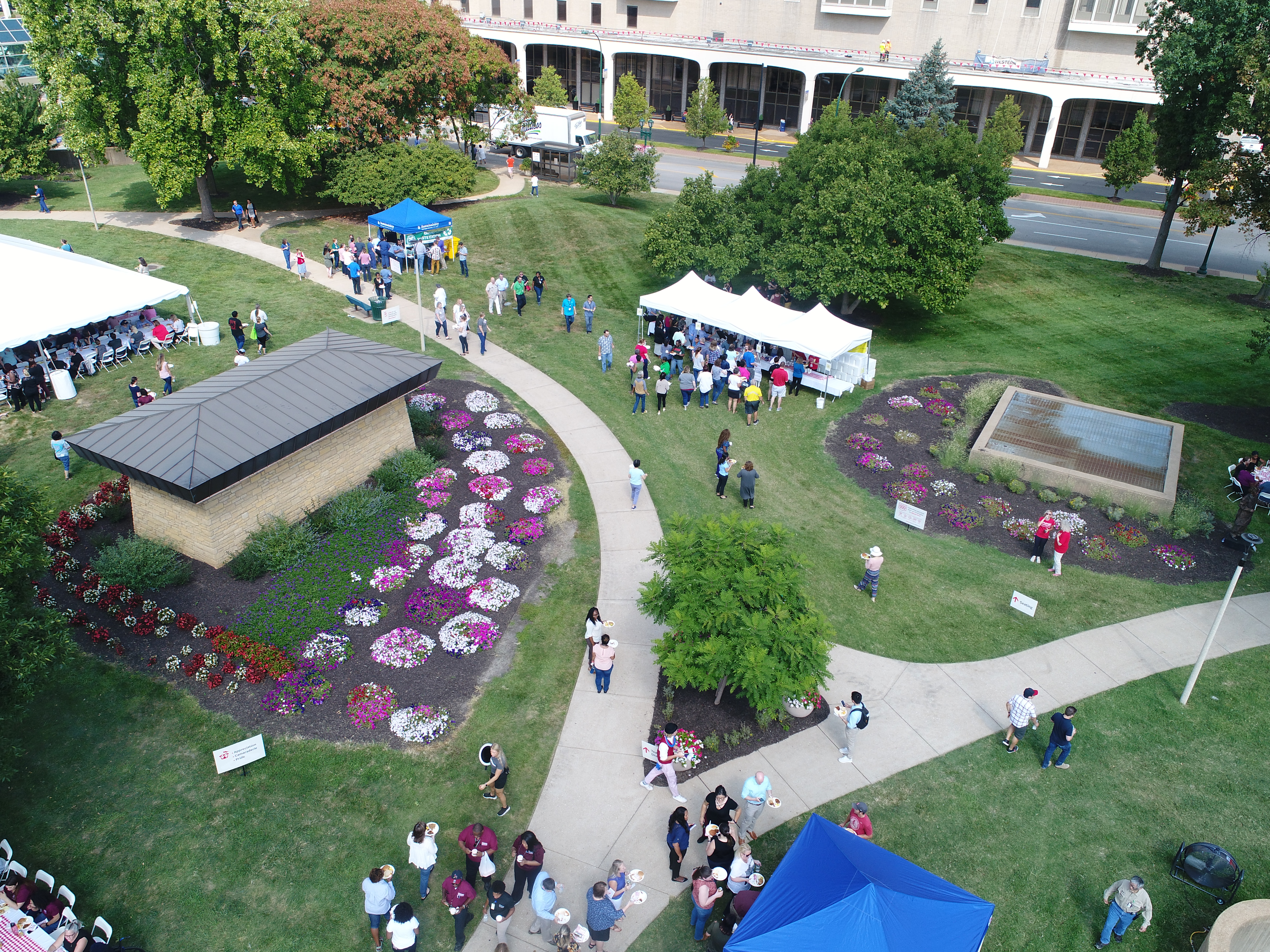
- Credibility through transparency: Top-down passes and slow tracking moves let viewers “see the process,” reinforcing quality and safety.
- Efficiency: One aircraft can capture multiple angles quickly—crucial when filming real operations with narrow windows.
- Memorability: Elegant aerial transitions create arrival moments that elevate otherwise ordinary scenes.


10 Simple Ways Drones Improve Corporate Image Videos
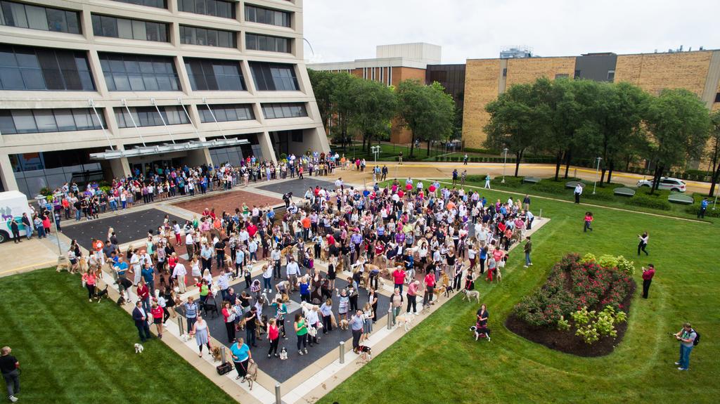
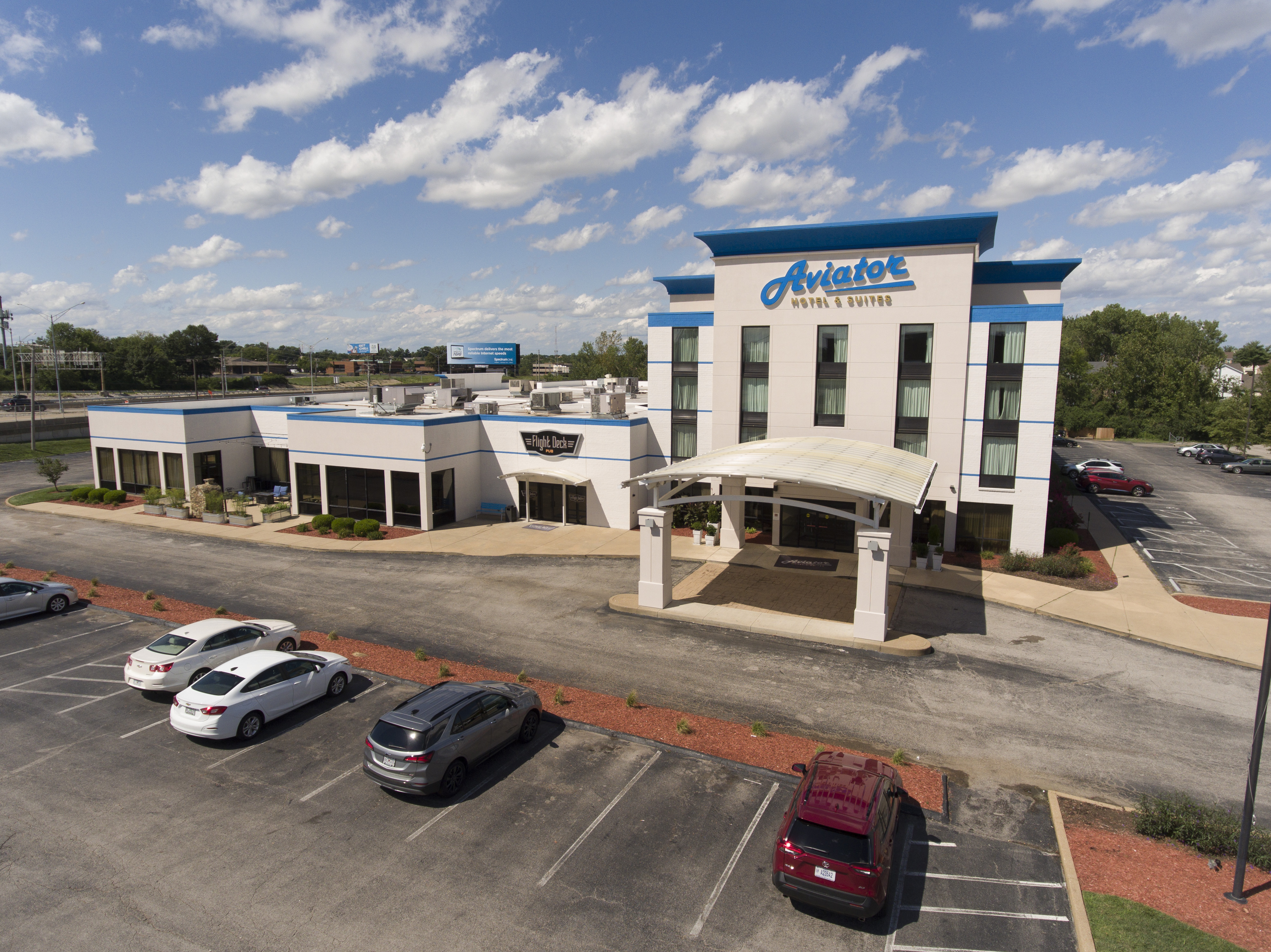
- Campus/Facility “Rise-Reveal”
Start behind branded signage or landscaping, then ascend to unveil your facility.
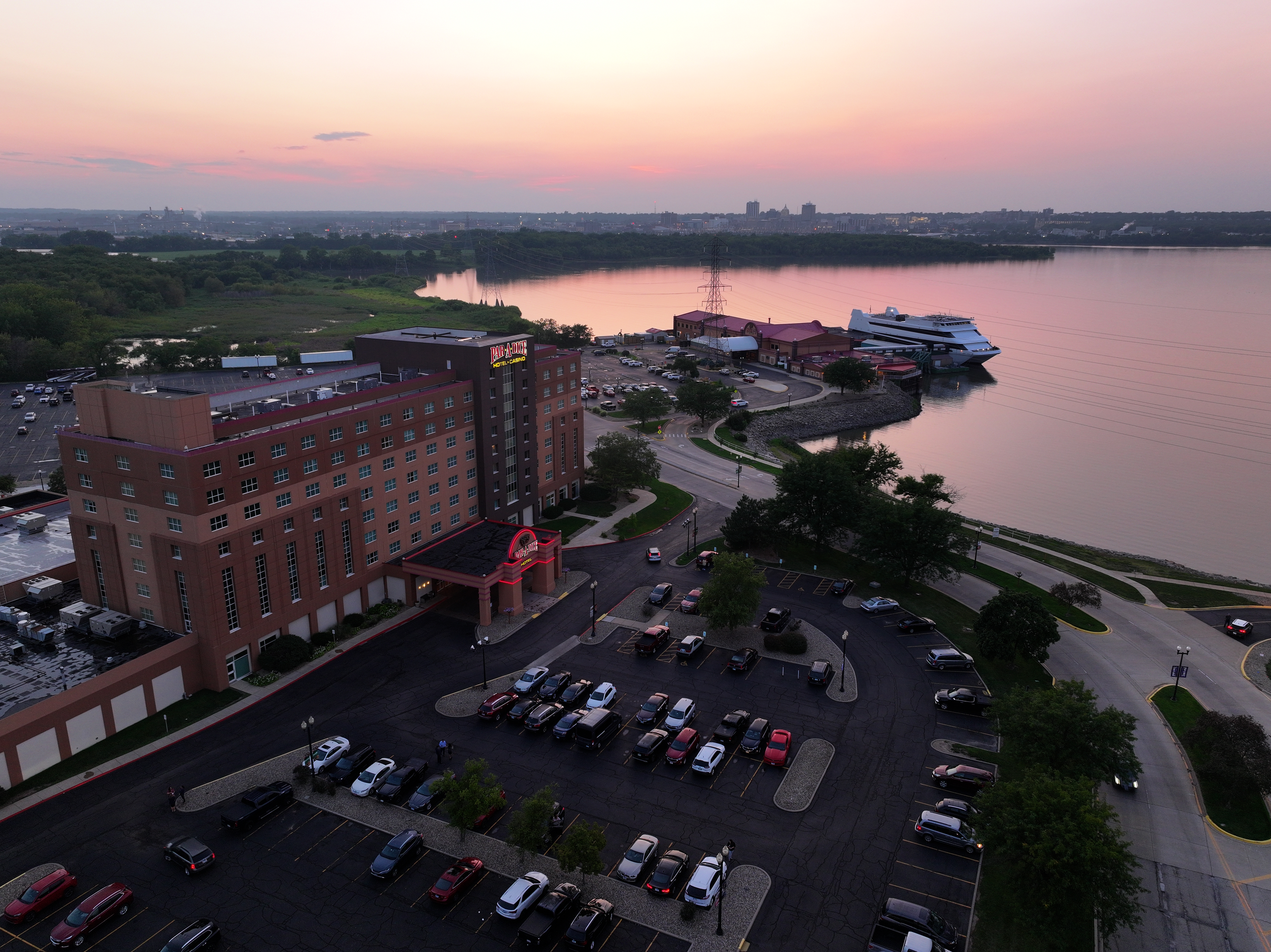
Use when: Opening your video; landing page heroes; investor relations decks. - Parallax Orbit of a Flagship Space
A slow, wide orbit around your main entry, showroom, or production cell implies prestige and stability.
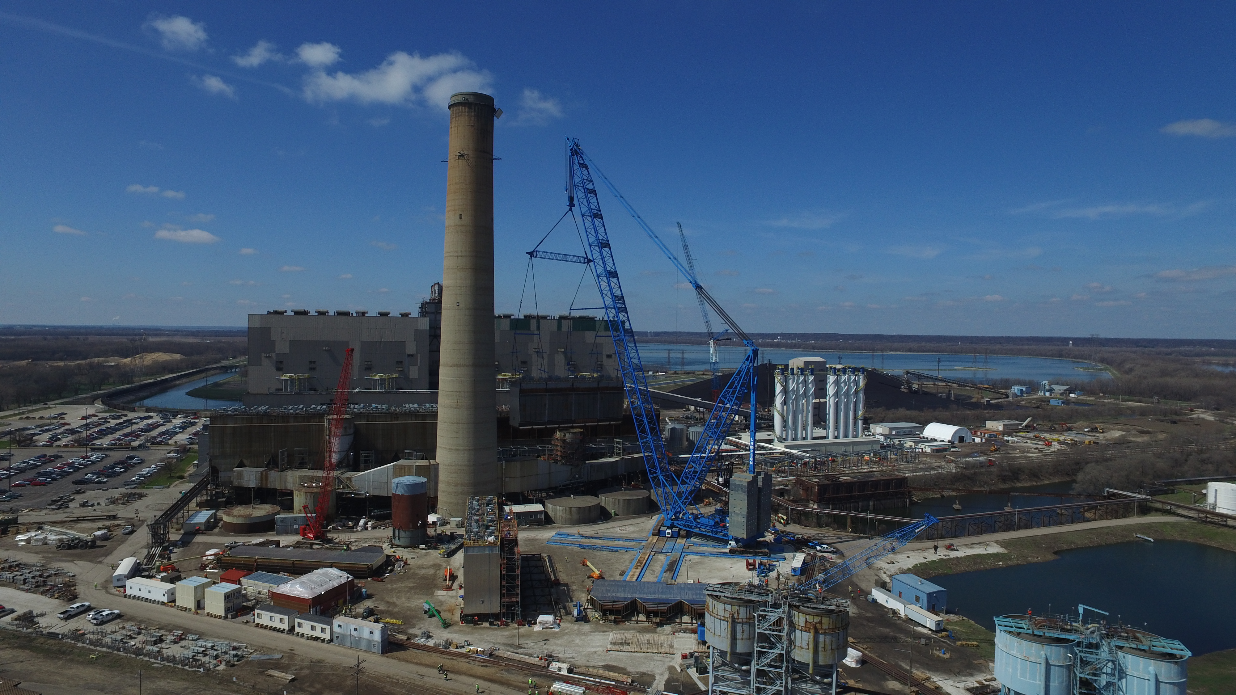
Use when: Highlighting HQ upgrades, expansion, or visitor experience. - Low Lateral Track Along a Workflow
3–6 ft off the floor, tracking along a line or conveyor shows progress and order without needing heavy narration.
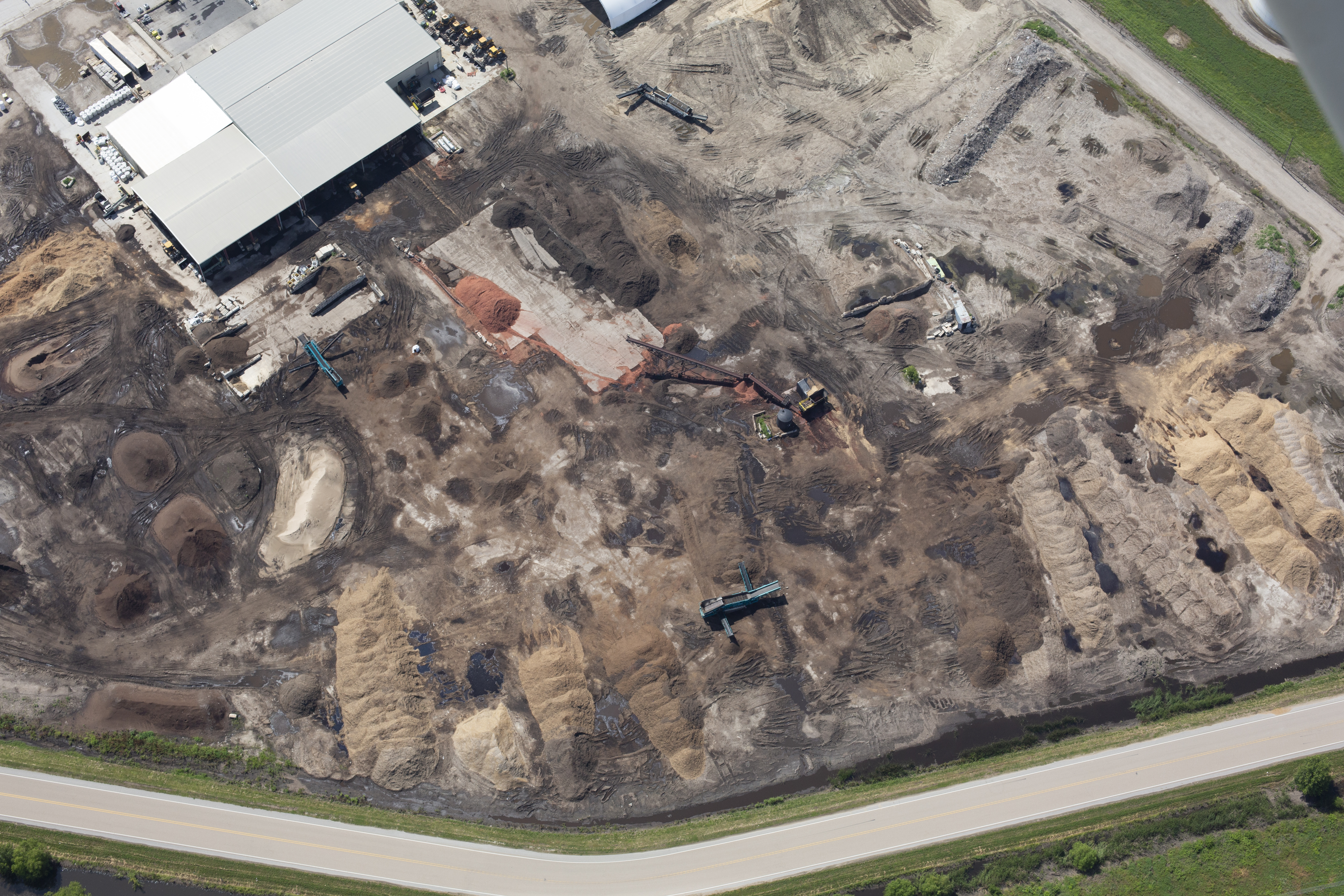
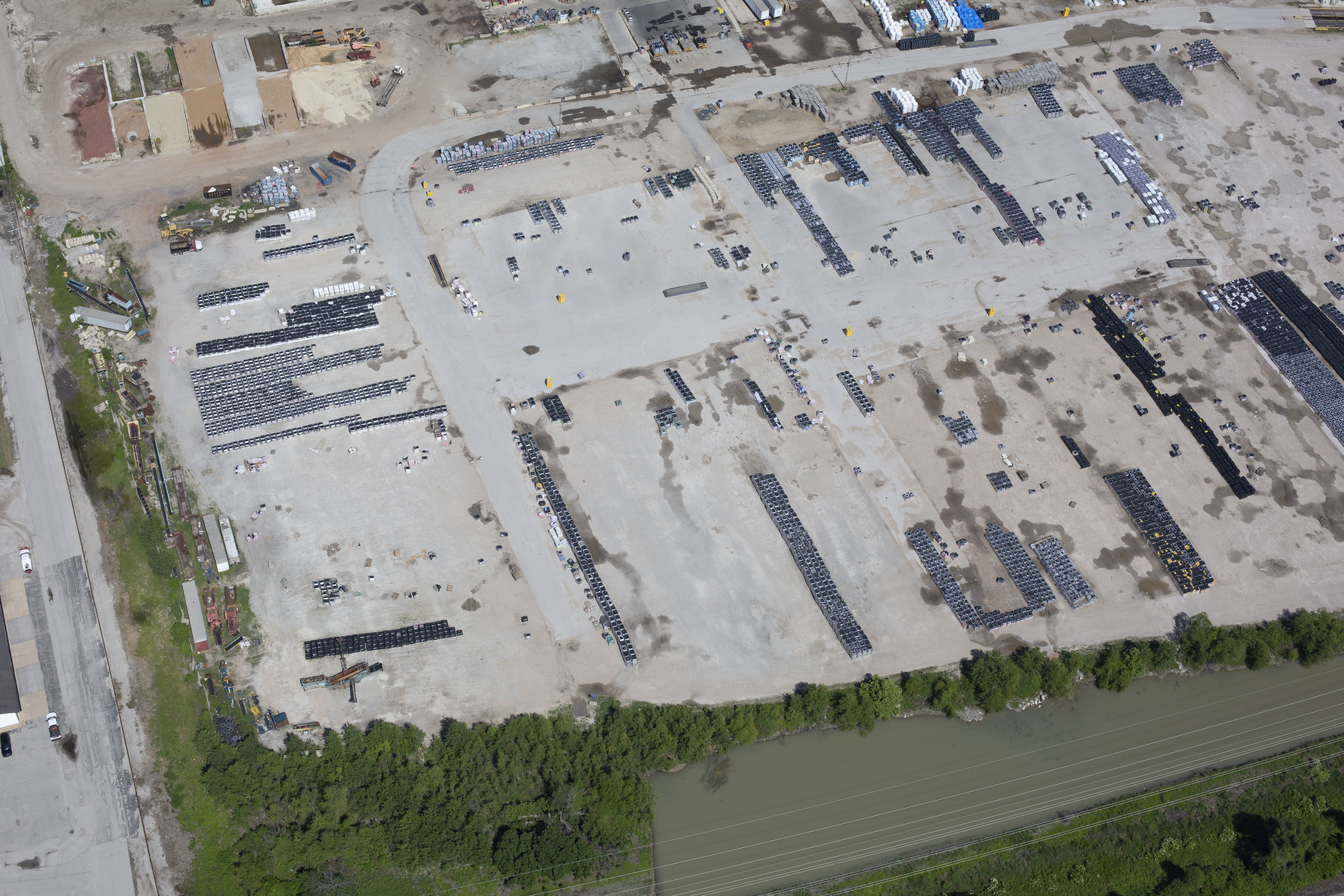
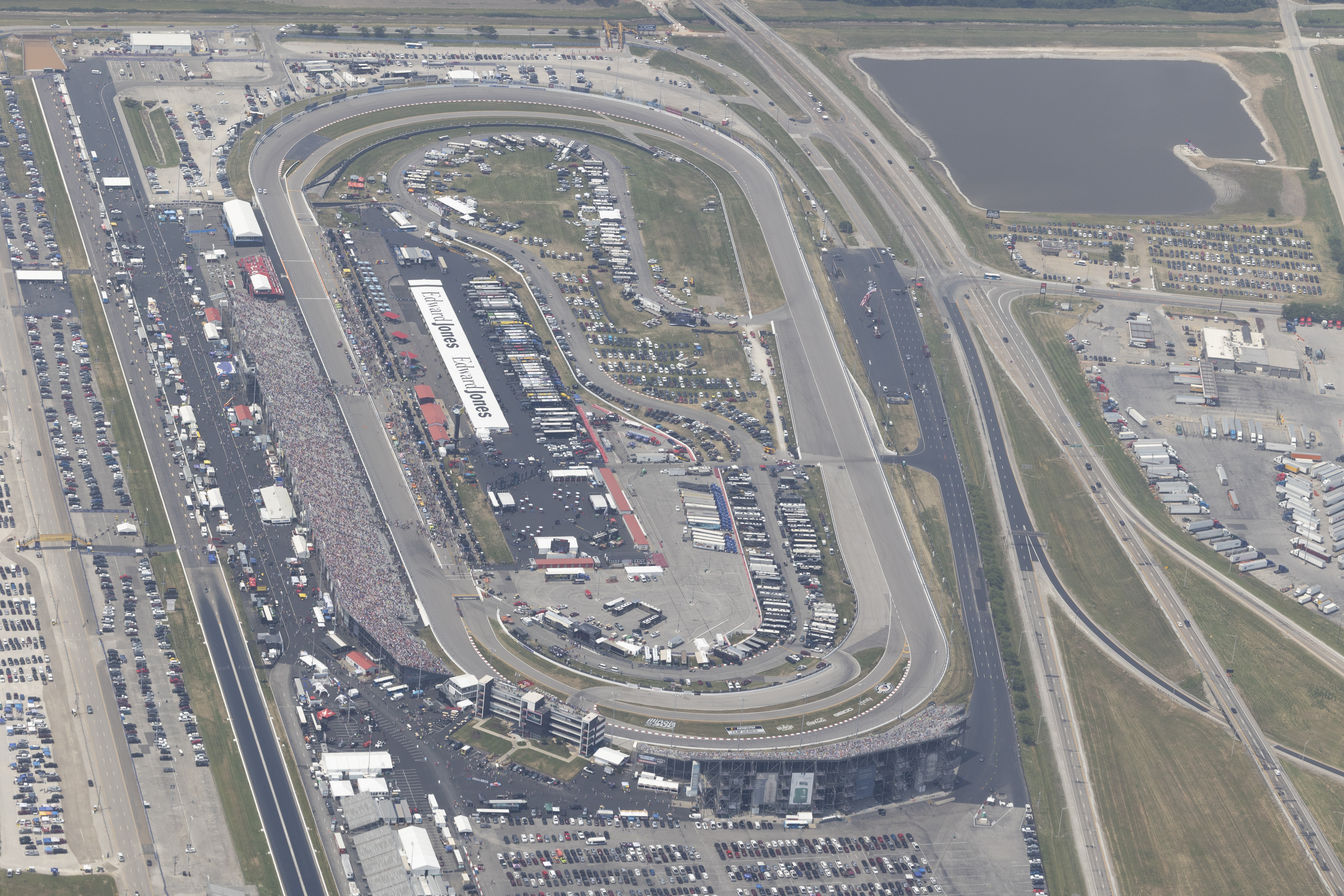
Use when: Manufacturing, fulfillment, labs, assembly. - Top-Down “Diagram” Pass
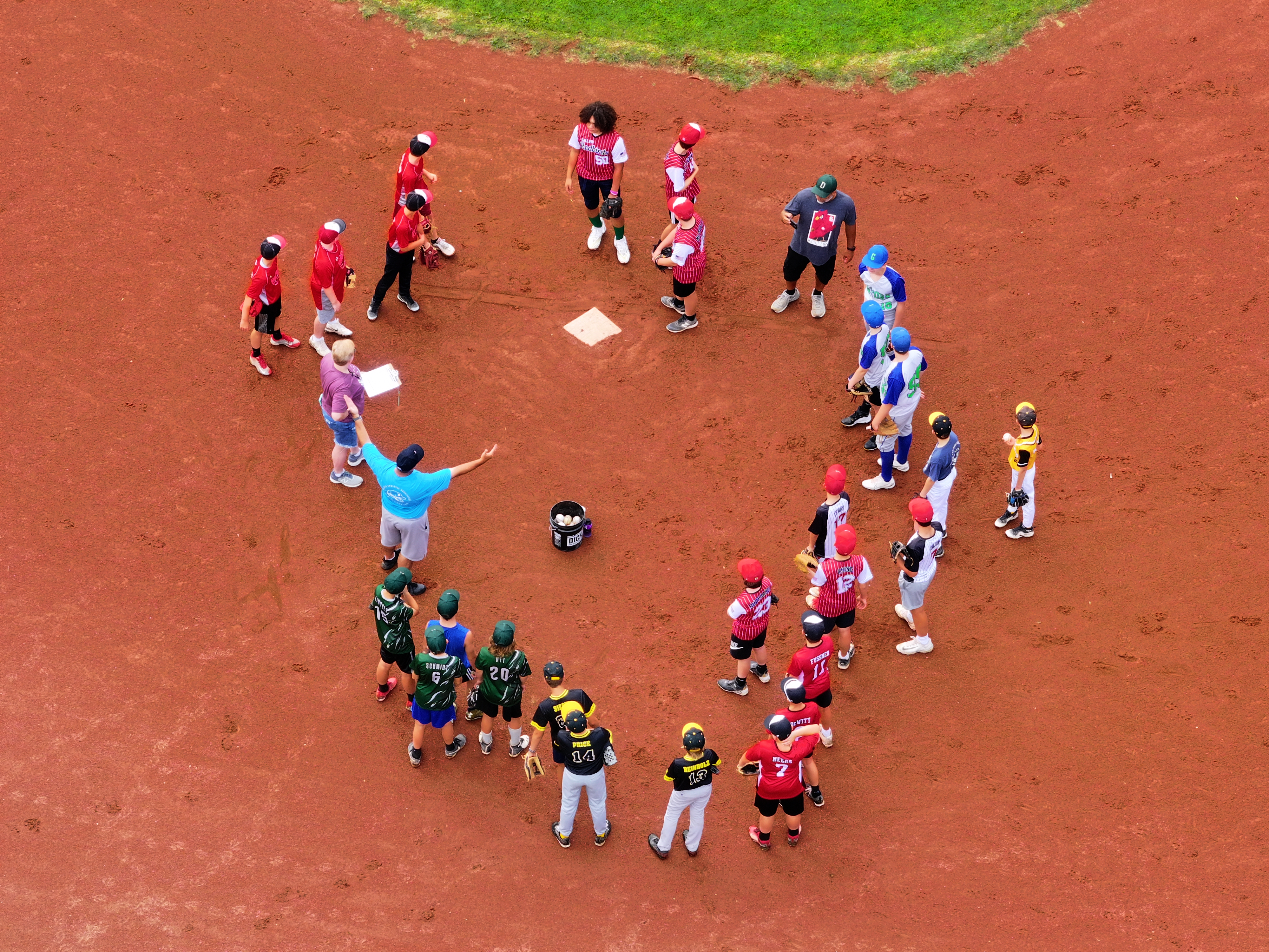
A true nadir (straight down) shot turns complex layouts into living infographics.
Use when: Explaining process flow, logistics routes, safety zones. - Push-Through Entry (Exterior → Interior)
With a lightweight, prop-guarded aircraft, move from the loading dock or lobby into active spaces.
Use when: Demonstrating openness and operational confidence. - Pull-Back from Product to Scale
Begin tight on a product detail; pull back to reveal the team, the floor, the entire campus.
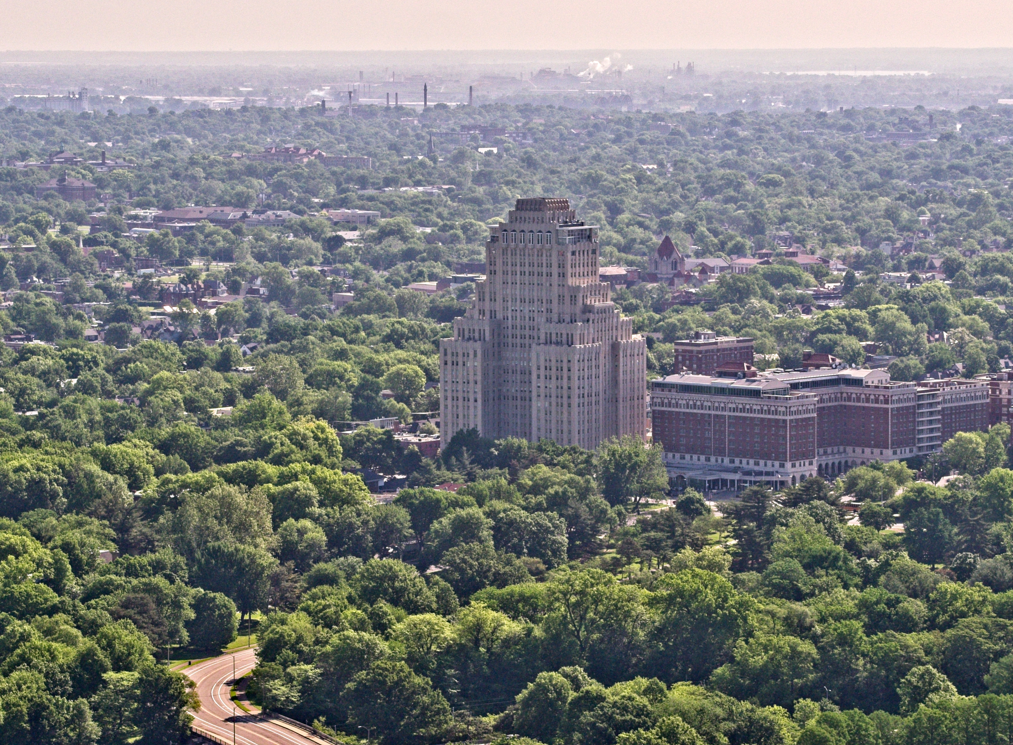
Use when: Connecting craft to capability and capacity. - Golden-Hour “Brand Portrait”
Soft light, long shadows, and a slow pass across signage or architecture for emotional resonance.
Use when: Campaign spots, recruitment, community relations. - Waypointed Progress (Construction/Upgrades)
Repeatable flight paths week over week create a natural time-lapse of progress and milestones.
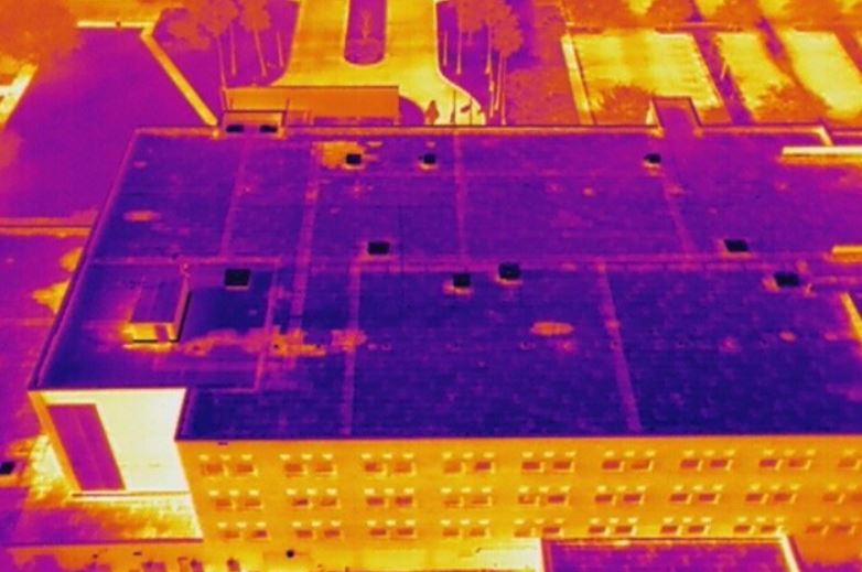
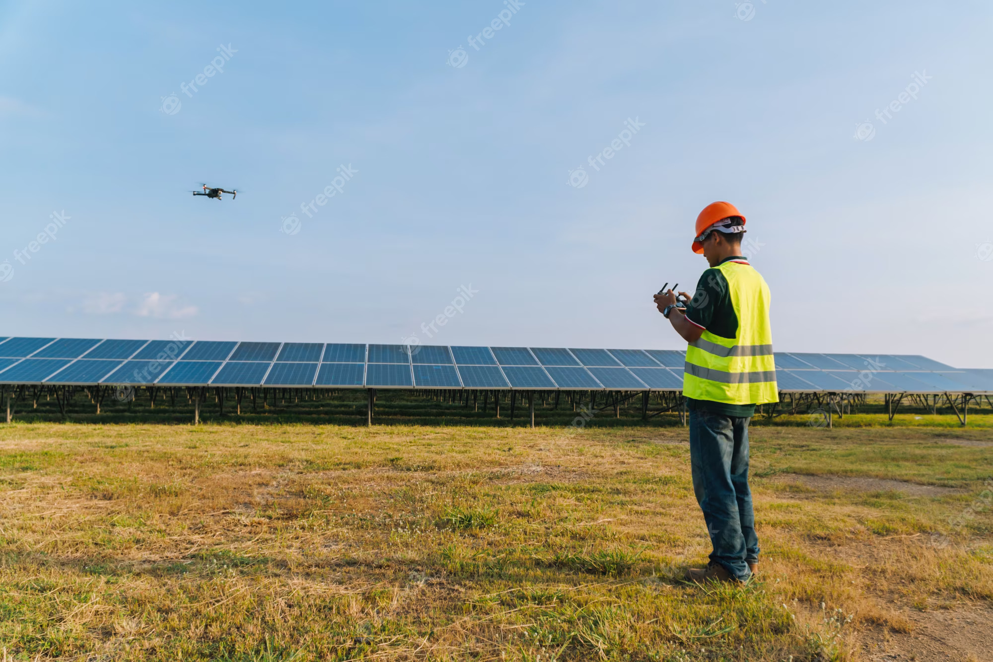
Use when: Construction, remodels, phased line installs. - Sustainability Storytelling from the Roofline
Discreet passes of solar, HVAC, or green roofs make ESG claims visible.
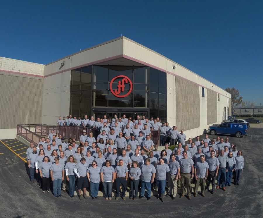
Use when: PR, investor updates, sustainability pages. - People-First Inserts
Quick aerials that establish space, then cut to faces and hands at work.
Use when: Recruitment, culture, training.

Keep It Simple: Aerial Shot Menu (Copy/Paste)
Exterior
- Signage rise-reveal
- Wide orbit of entry
- Pull-back from product demo outside
- Golden-hour campus sweep
Process
- Low lateral track along line/aisle
- Top-down schematic pass
- Load-in/out dock sequence
Interior (Cinewhoop)
- Lobby push-through to lab/showroom
- Corridor reveal to collaboration space
- Overhead drift across work cells (prop guards)
Pre-Production: The Minimum That Prevents Headaches
- Define outcomes: Awareness, recruiting, sales enablement, PR—each suggests different shot priority and aspect ratios (16:9, 9:16, 1:1).
- Lock deliverables: 90–120s master, 30s cutdown, 15s/6s social, and 5–10 micro-moments.
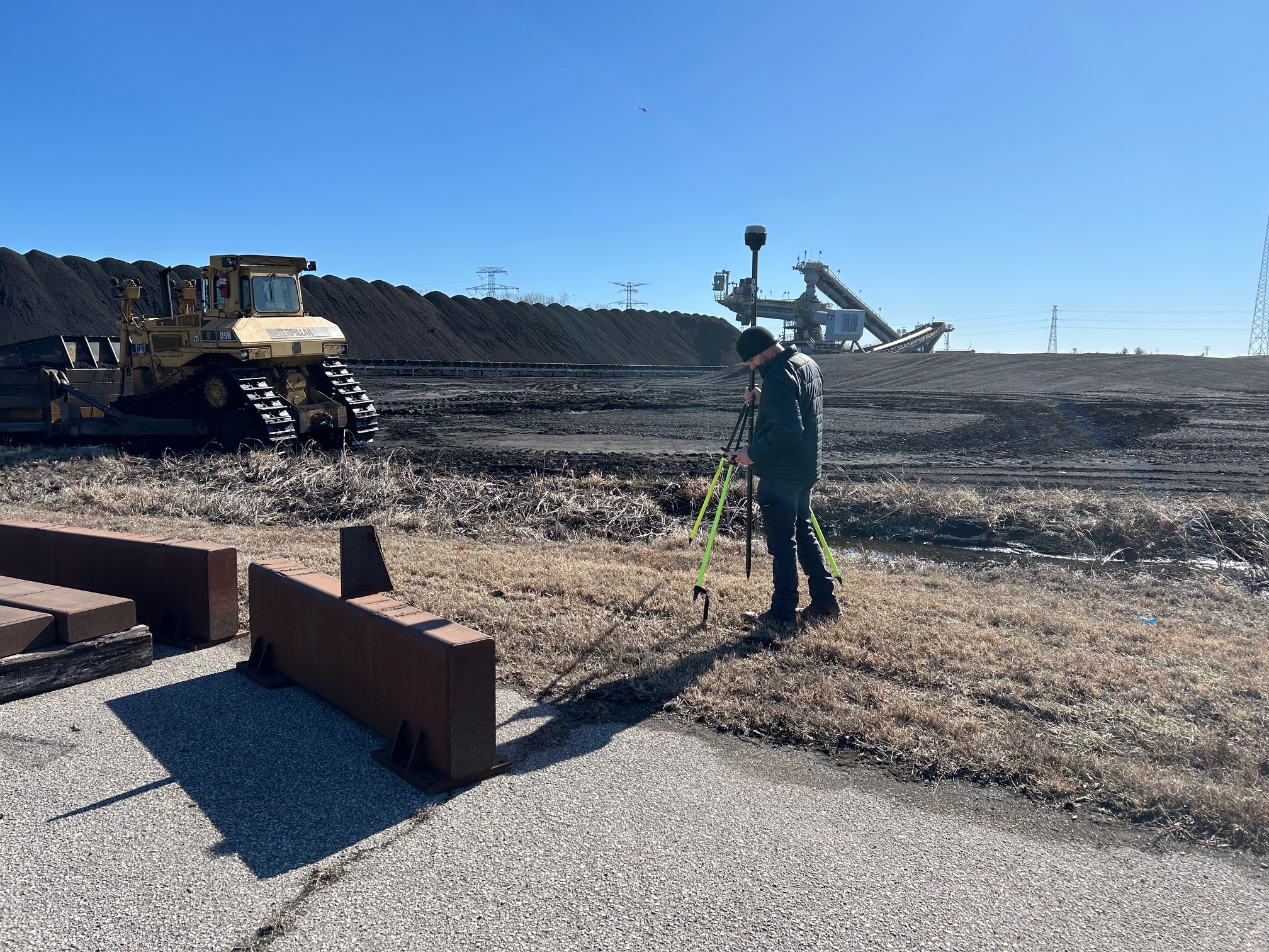
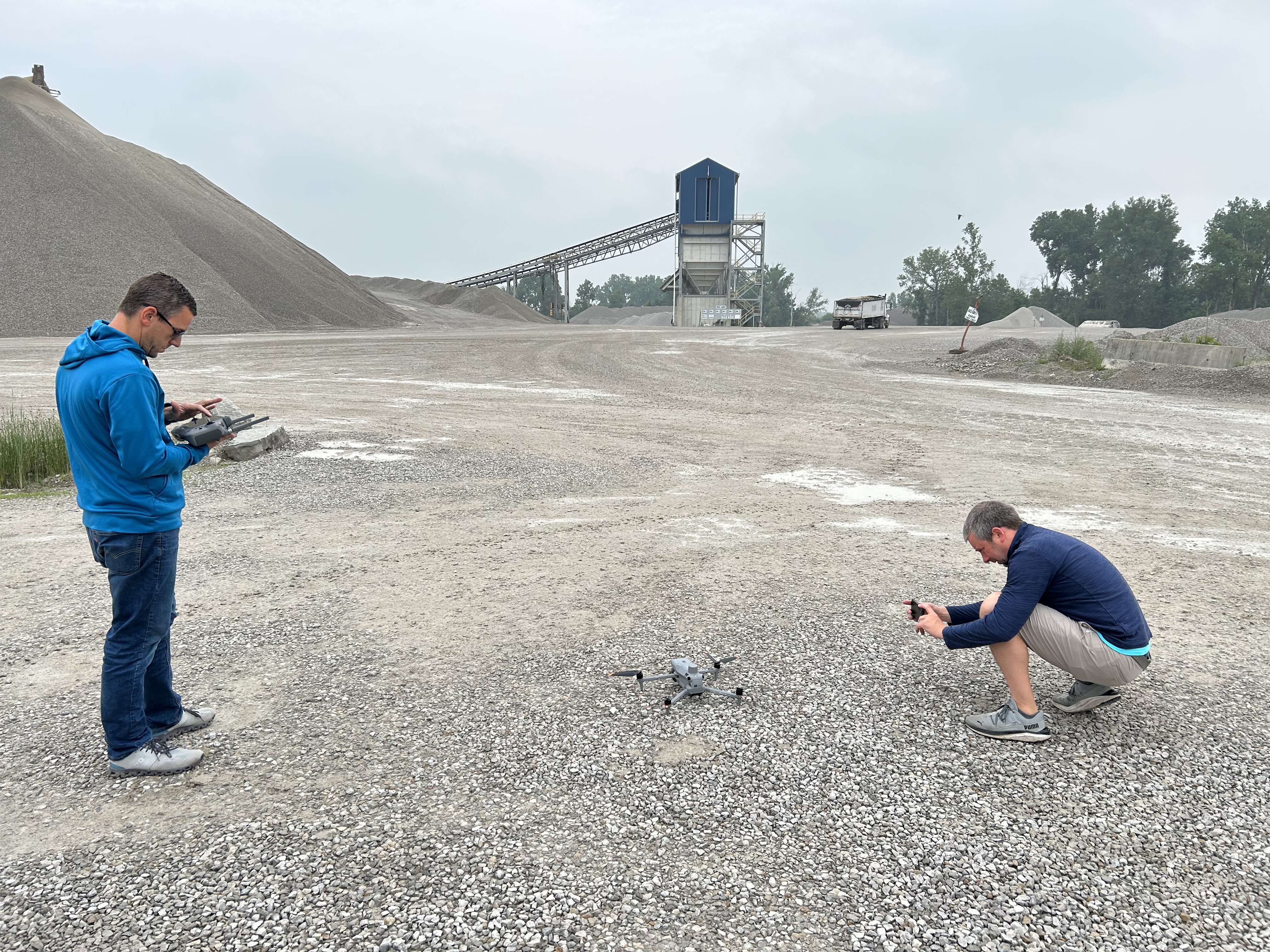
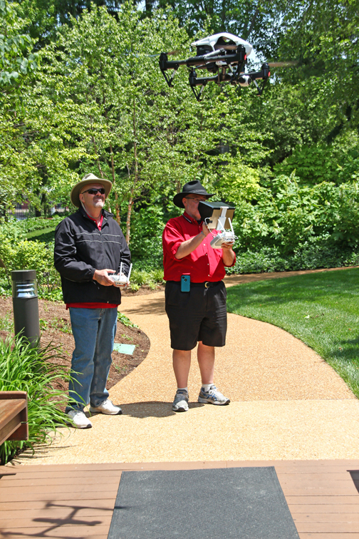
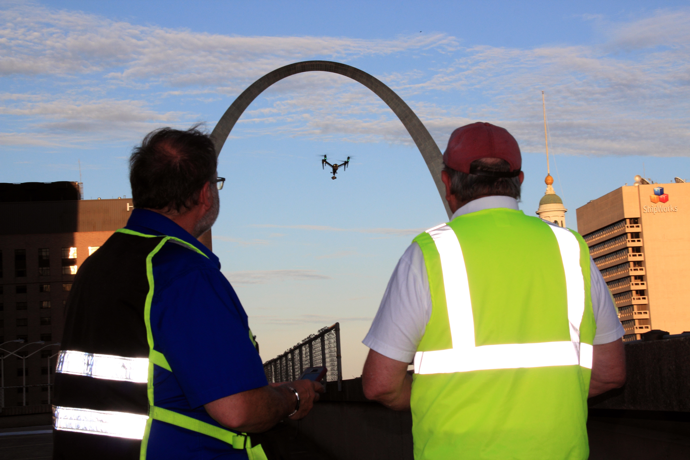
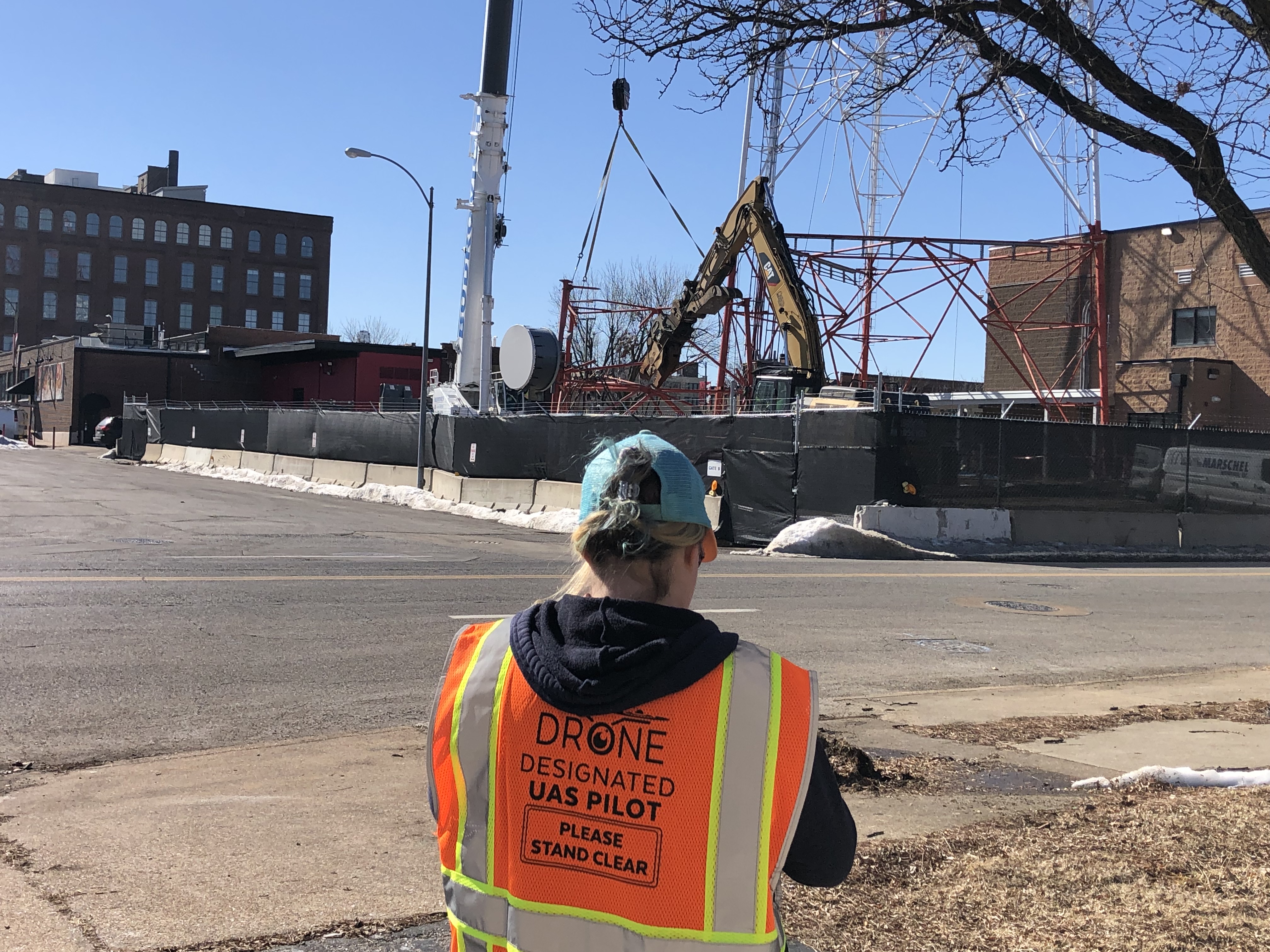
- Permissions & compliance: Part 107 pilots, LAANC/airspace checks, landowner permissions, insurance, visual observer plan, emergency procedures.
- Schedule smart: Golden/blue hour for exteriors; interior quiet times for separate audio capture.
- Technical targets: 4K/5.1K 10-bit log, ND filters for proper shutter angle, locked white balance, waypoint programming for repeatability, RAW stills for hero frames.
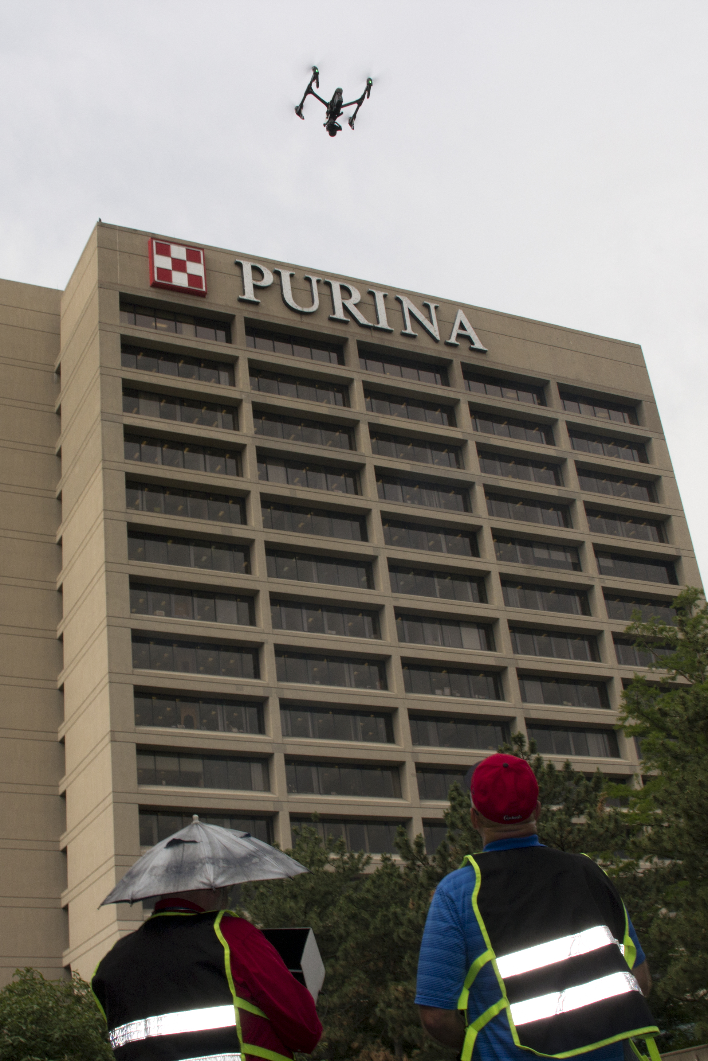
Indoors Without Drama (Yes, It Can Be Beautiful)
- Aircraft: Lightweight, prop-guarded platforms flown slowly (2–6 mph) for elegant cadence.
- Route: Walk the path; mark hazards (sprinklers, hanging signage, cables); control doors.
- Lighting: Add soft practical fills; avoid flicker; keep exposure and WB locked for consistency.
- Sound: Record dialogue/NAT sound separately; use aerials as visual b-roll over clean audio.


Post-Production: Clean, Consistent, On-Brand
- Color: Normalize log captures; preserve skin tones and product materials; keep looks consistent with brand guidelines.
- Stabilization: Subtle—don’t erase the pilot’s intent.
- Graphics/Captions: Lower thirds, safety callouts, and CTA slates designed for legibility across formats.
- AI assists (used responsibly): Object cleanup (cones, scuffs), plate extensions, sky continuity, logo isolation for end-card animations, smart reframing for 9:16/1:1 while protecting subject.
- Provenance: Maintain edit logs and export metadata; apply content credentials when policy requires.
Distribution That Actually Moves Metrics
- Web: Silent-first hero loops with captions; fast page loads and fallback images.
- Social: Platform-native ratios; hook in the first 2 seconds; CTAs in captions.
- Recruiting: People-at-work emphasis; pair aerials with short testimonial bites.
- Sales enablement: Loopable trade show edits; QR codes to facility tours or case studies.
- KPI ideas: View-through rate, dwell time on pages with aerial hero, CTR from aerial thumbnails, assisted conversions, application starts for recruiting.
One-Day Field Plan (Example)
07:00–08:00 Exterior hero passes (golden hour)
08:00–09:00 Nadir site grid + parking/traffic
09:00–10:30 Interior cinewhoop route (pre-lit)
10:30–12:00 Process sequences (line, lab, showroom)
13:00–14:30 Ground b-roll + leadership interactions
16:30–17:30 Sunset closes and neighborhood context
Your Quick Prep Checklist
- Objectives & KPIs: __________________________
- Primary audiences/channels: __________________
- Must-have locations/people: __________________
- Compliance/permissions confirmed: ____________
- Deliverables (lengths/ratios): _______________
- Captioning/graphics/branding: _______________
- Weather & backup times: _____________________
- Internal approvals & review flow: ____________
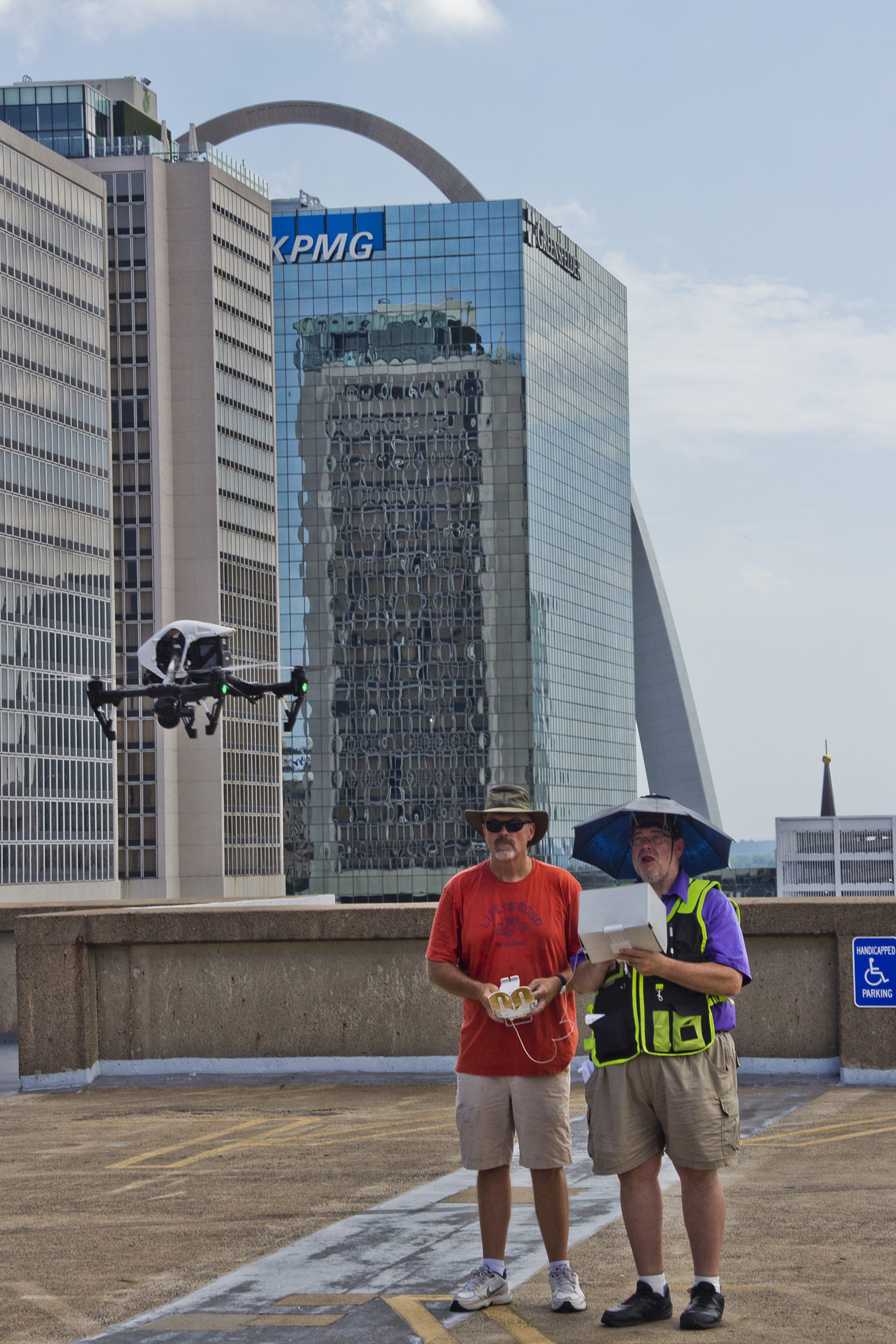
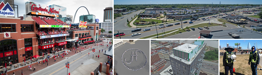
Why Partner With St Louis Aerial Photography and Video
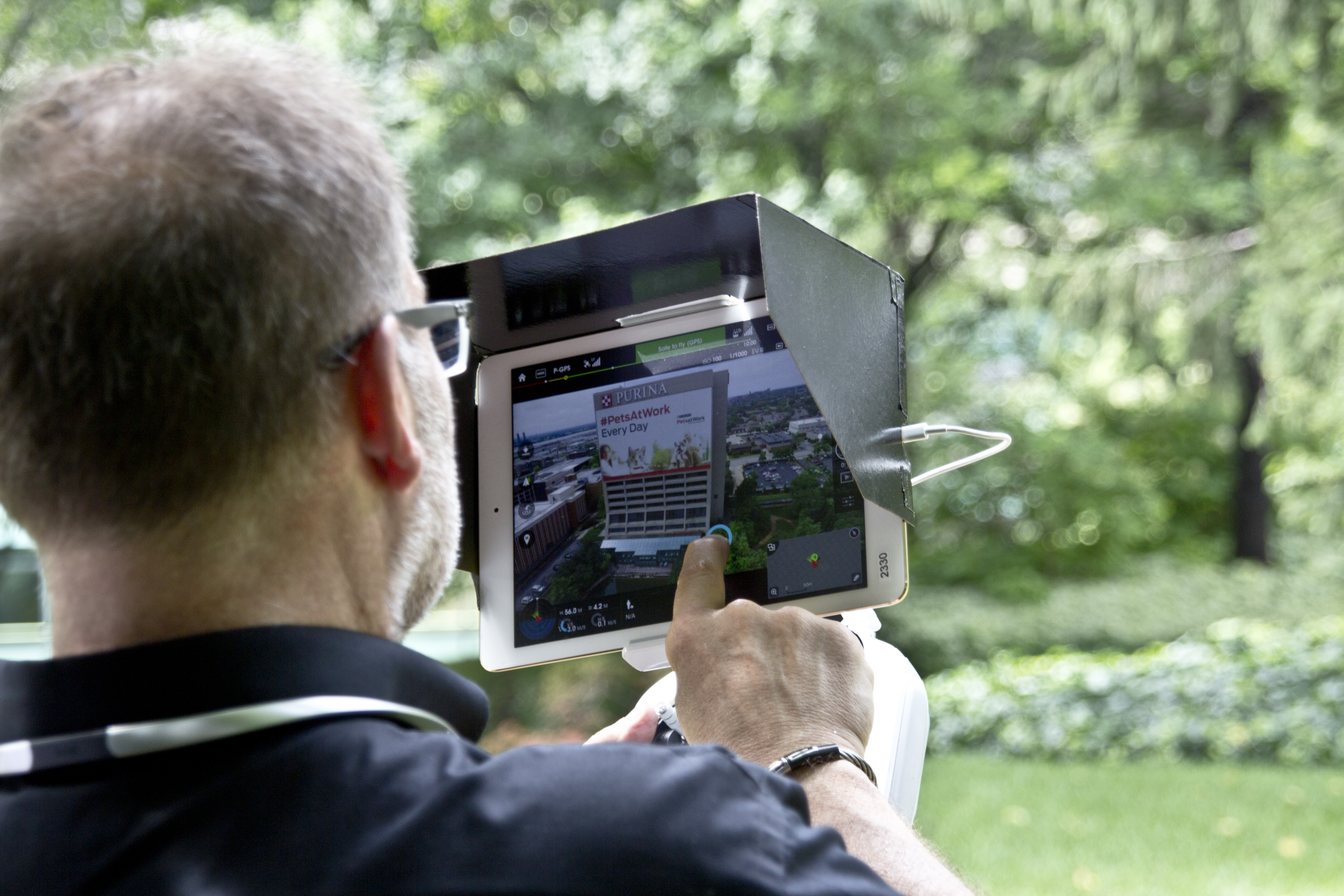
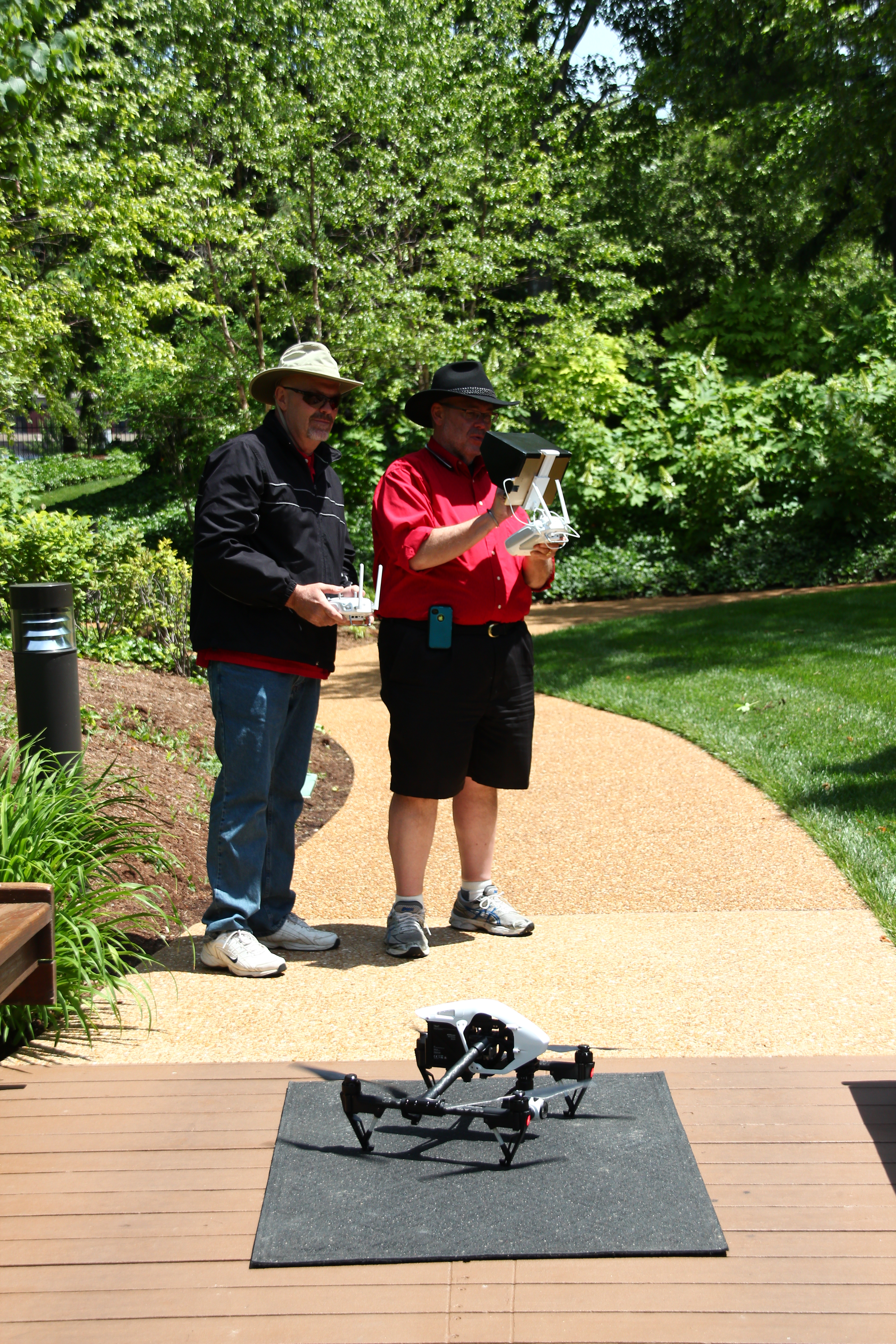
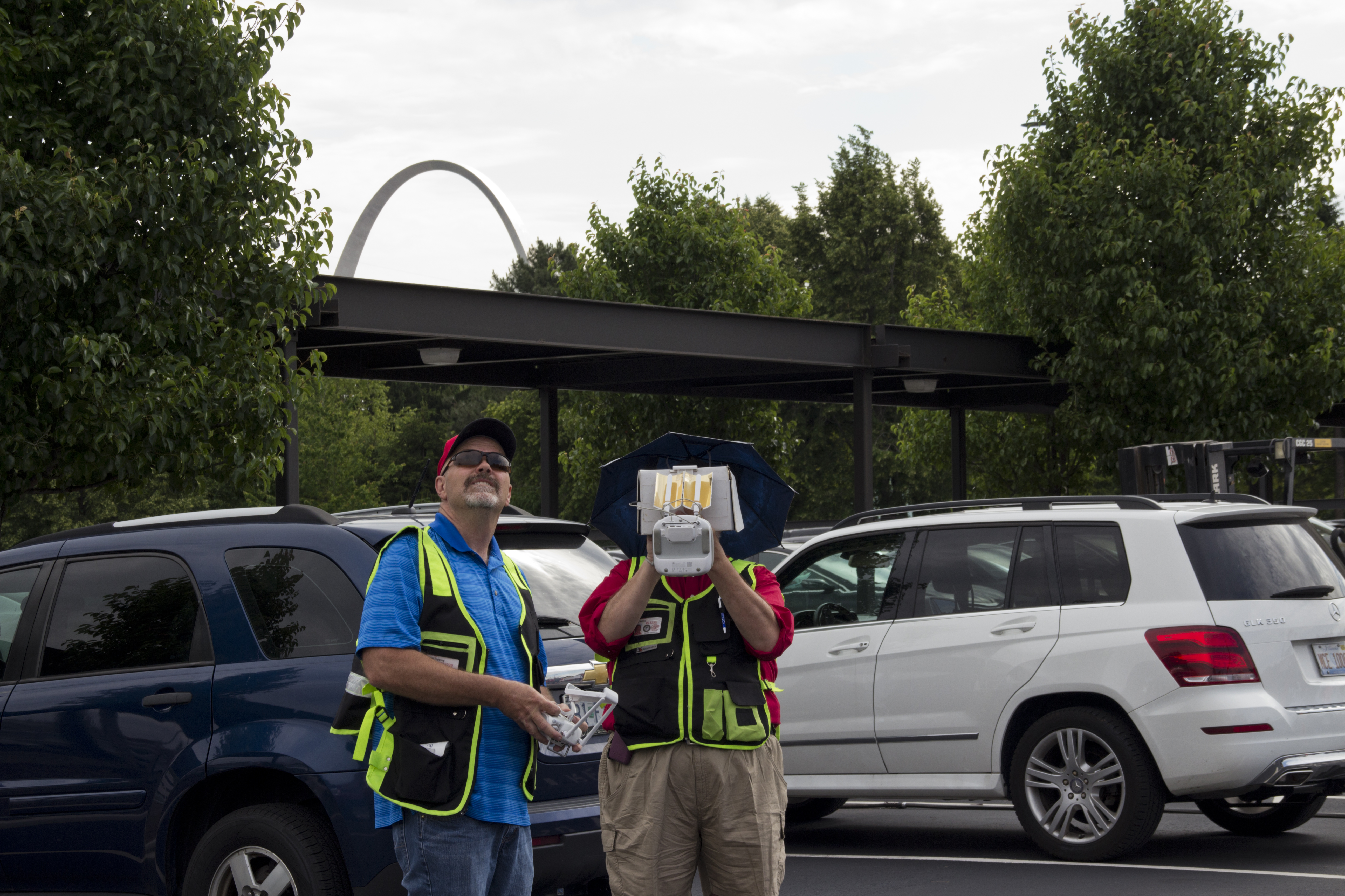
St Louis Aerial Photography and Video is an experienced, full-service professional commercial photography and video production company with the right equipment and creative crew experience for successful image acquisition. We offer full-service studio and location video and photography, as well as editing and post-production, and our licensed drone pilots tailor every flight to your story, environment, and safety requirements. St Louis Aerial Photography and Video can customize your productions for diverse types of media requirements. Repurposing your photography and video branding to gain more traction is another specialty—we are well-versed in all file types, styles of media, and accompanying software, and we use the latest in Artificial Intelligence for all our media services to enhance speed, consistency, and compliance.
Our private studio lighting and visual setup is perfect for small productions and interview scenes, and our studio is large enough to incorporate props to round out your set. We support every aspect of your production—from setting up a private, custom interview studio to supplying professional sound and camera operators, as well as providing the right equipment—ensuring your next video production is seamless and successful. We can fly our specialized drones indoors for dynamic, immersive sequences. As a full-service video and photography production corporation, since 1982 St Louis Aerial Photography and Video has worked with businesses, marketing firms, and creative agencies throughout the St. Louis area for their marketing photography and video. When you need aerials that strengthen your brand and your bottom line, we’re ready to fly.