How An Aerial Infrared Scan Detects Moisture In Commercial Buildings and Residential Homes.

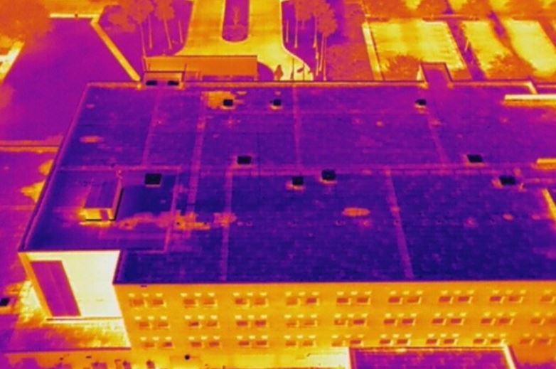
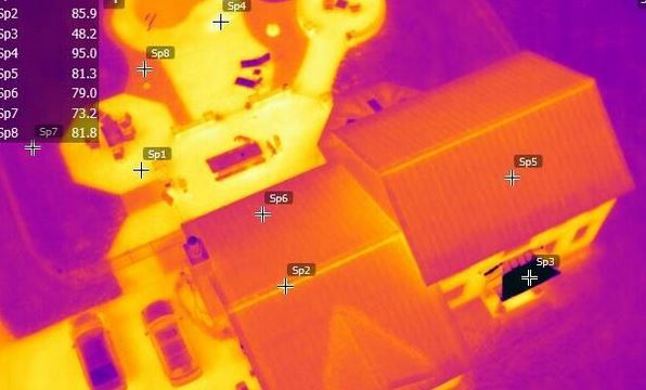
During the daylight hours the heat of the sun warms the roof of your building and at night the roof radiates that heat back towards the sky. This is known as radiational cooling. Wet areas of the roof have a higher mass and because of this they will retain the heat longer. Meanwhile areas that are dry, which have a lower mass, cool more rapidly. Aerial Infrared Scan imagers detect and display the uneven heat dissipation and thereby accurately identifying areas of the roof needing attention.

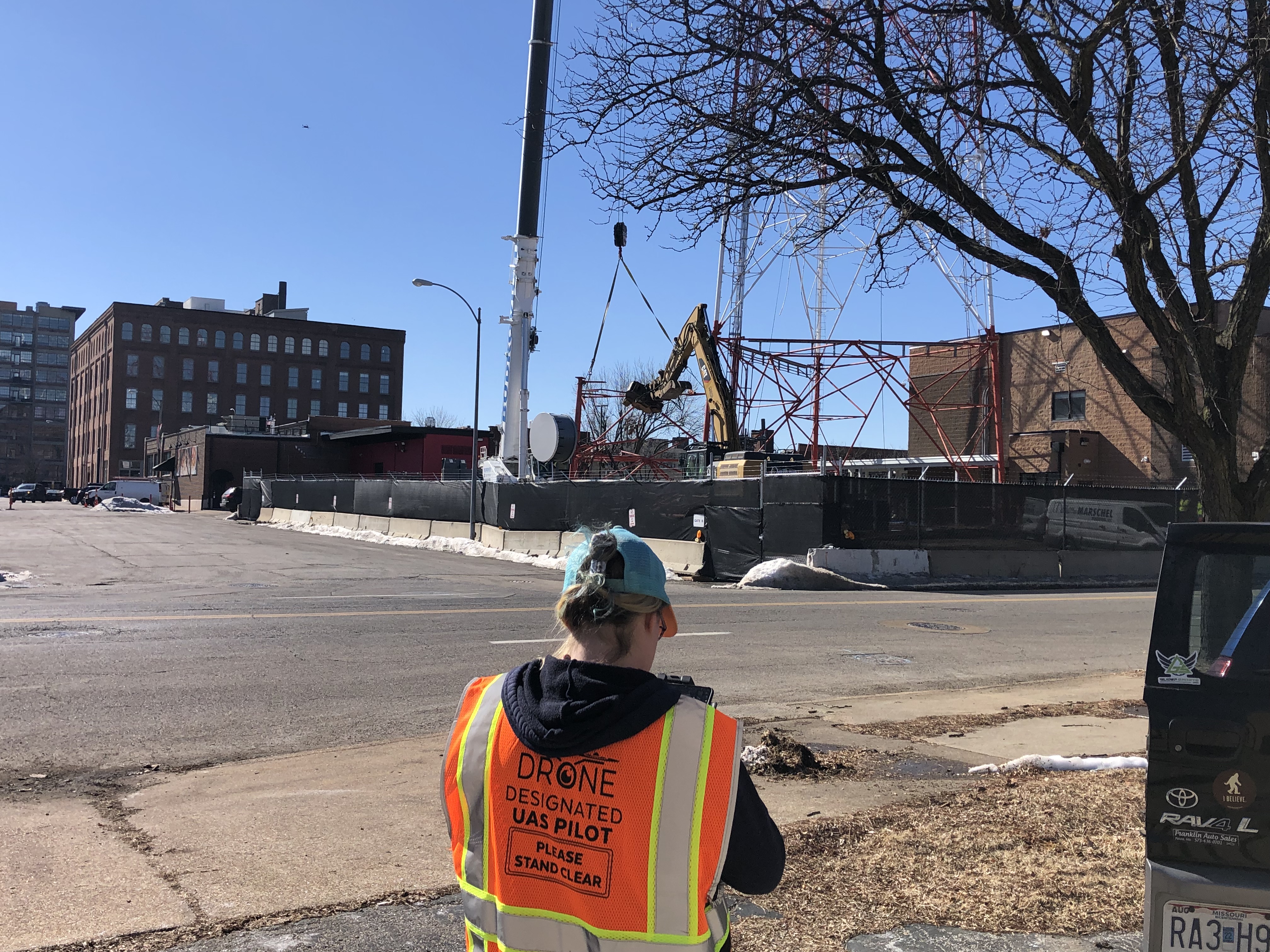
Performing rooftop inspections with drones is a faster, safer, and more time-efficient way to gather the valuable data you need. Reduce liability risk and enjoy faster turnaround times.

Easily assess the condition of your rooftop with thermographic imaging. Our drones can fly over your rooftop and capture high-resolution infrared photos with high detail. Spot anomalies and identify water damage, heat leakage, or other potential problems. If left untreated, many rooftop problems can get worse and more costly, causing leaks, mold, and rot.

314-604-6544
stlouisaerialphotography@gmail.com
Robert Haller, Drone Specialist

Aerial video | Drone construction progression

Monitor and track your construction site progress from the sky with detailed aerial, drone video and photography.  For larger areas, we fly airplanes too.  We’ll capture images from various altitudes, distances, and directions to give you the full geographic picture of your project.

We can submit updates on a daily or weekly basis; or whatever time schedule you would prefer.  And for any length of calendar time.  We’ve been flying some larger projects for years.

For this building development project, we capture aerial video and photographs on a monthly basis to provide progress construction updates.

drone pilot video taping construction progression at jobsite

Construction Progress Monitoring

Record the progress of a construction job on a periodic basis, to keep a permanent record for legal, billing, or archiving purposes.

Building Lots & Prospective Site Surveys

Only an aerial photograph can provide you with a birds-eye view of potential building sites, showing surrounding features you just can’t see and appreciate from the ground.

314-604-6544
stlouisaerialphotography@gmail.com
Robert Haller, Drone Specialist