The Best Ways to Showcase Progress Using Drone Video

In the ever-evolving world of visual storytelling, drone video has emerged as a game-changer for showcasing progress and transformation. Whether you’re in real estate, construction, or any industry where visual documentation of progress is crucial, leveraging drone technology can provide a dynamic and engaging perspective that traditional photography simply can’t match. In this post, we’ll explore the best ways to utilize drone video to capture and highlight progress, and how St Louis Aerial Photography can help elevate your visual storytelling efforts.

1. Capture Comprehensive Overviews

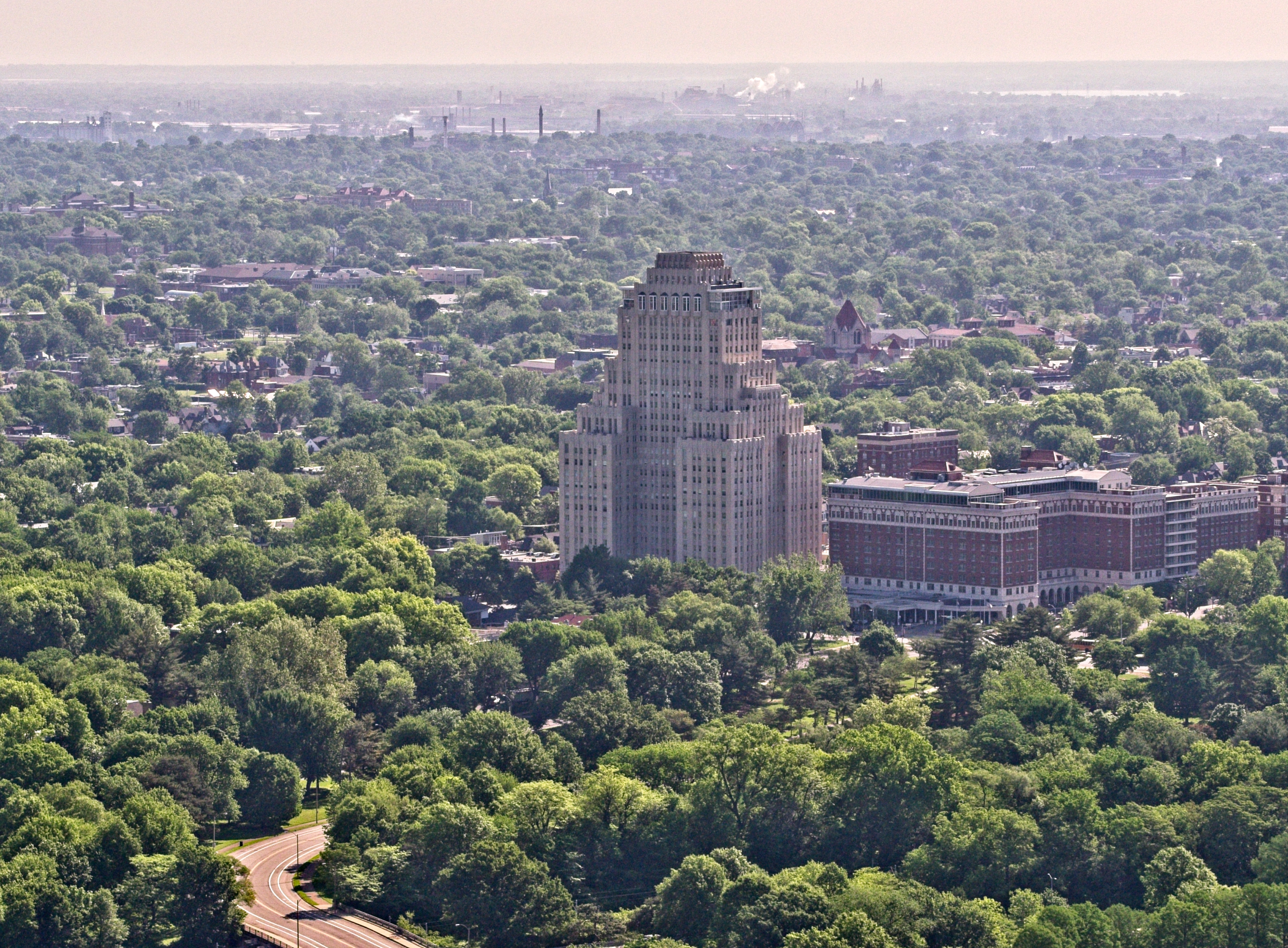
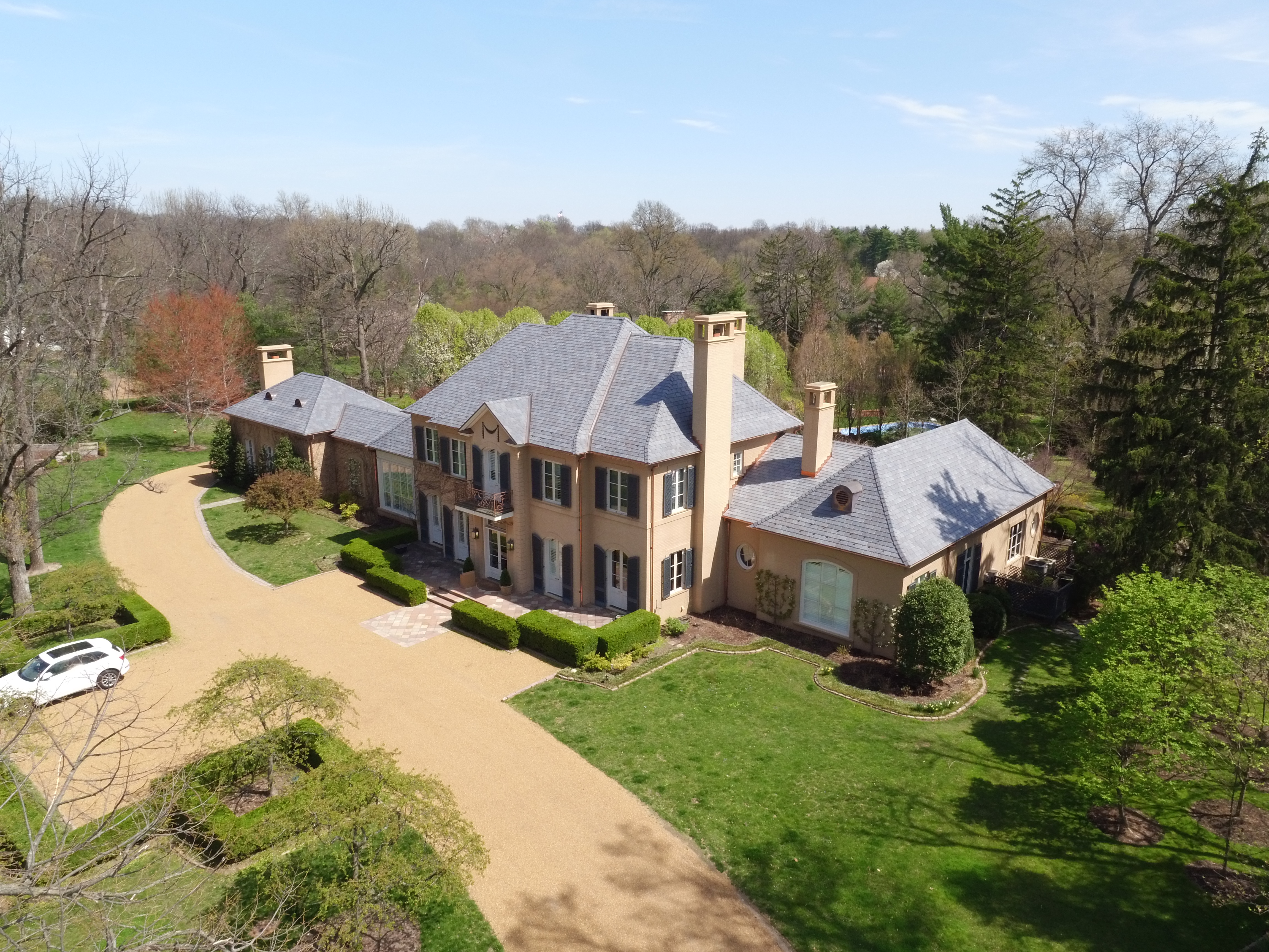
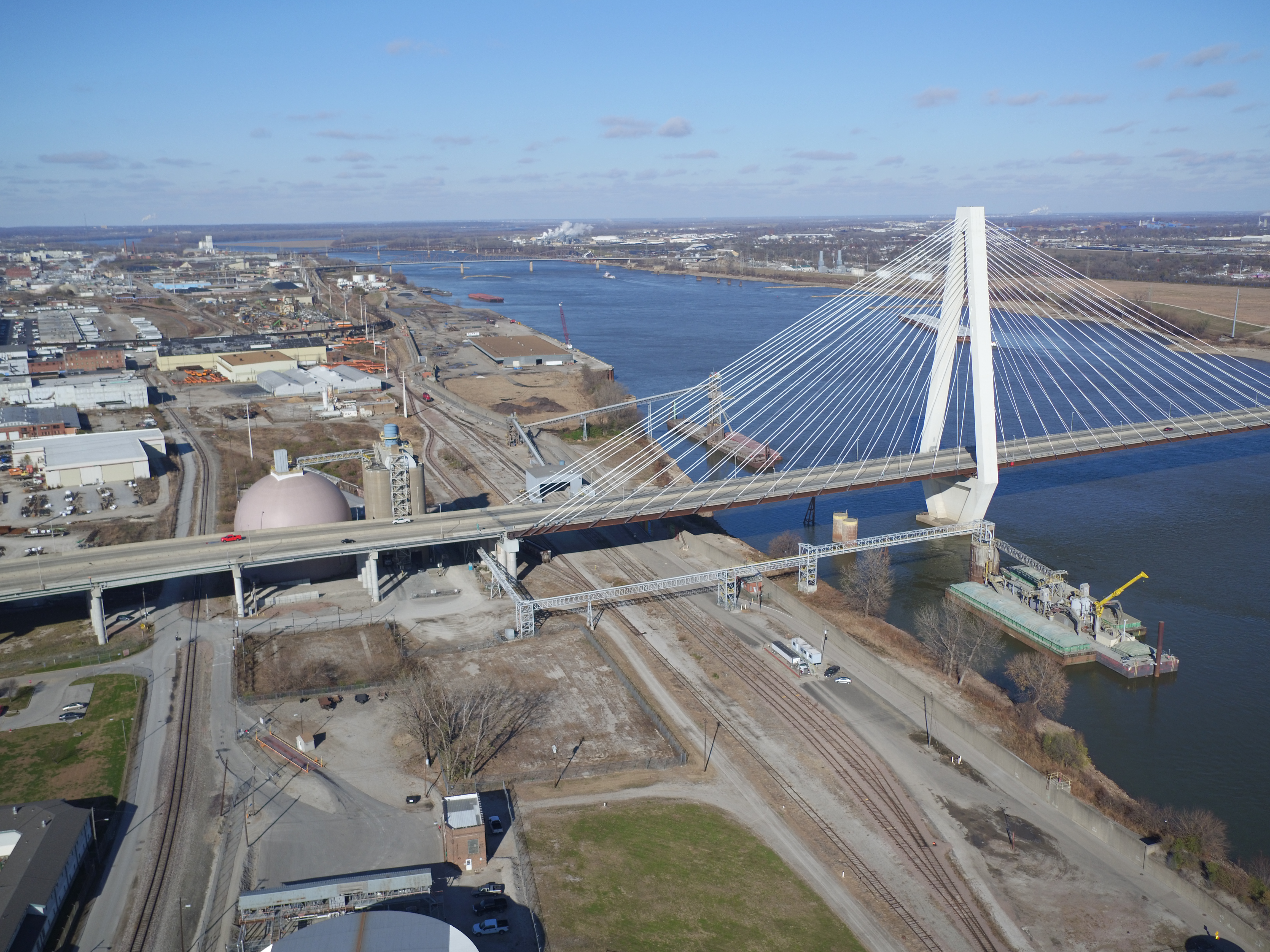
Drone video offers a unique vantage point that allows you to capture expansive overviews of projects. This bird’s-eye view is particularly useful for:

  • Construction Sites: Documenting the evolution of a building project from groundbreaking to completion. The wide-angle perspective highlights scale and progress over time.
  • Real Estate Developments: Showcasing large properties or new developments in their entirety, providing potential buyers with a comprehensive view of the property and its surroundings.

2. Showcase Before-and-After Comparisons

Aerial footage is perfect for creating compelling before-and-after comparisons. By capturing video at various stages of development, you can:

  • Highlight Changes: Demonstrate the impact of renovations or upgrades by juxtaposing earlier footage with current progress.
  • Create Visual Timelines: Offer a clear and engaging representation of how a project has evolved over time, which can be particularly useful for marketing and client presentations.

3. Highlight Key Details

Drone video can zoom in on specific areas of interest, allowing you to focus on details that might be missed from ground-level footage. This can include:

  • Architectural Features: Emphasizing unique design elements or finishes in construction and real estate projects.
  • Operational Progress: Documenting the functionality of various stages in complex projects, such as infrastructure development or large-scale events.

4. Create Dynamic Time-Lapse Videos

Aerial drones are ideal for producing time-lapse videos that compress extensive periods of work into a few minutes. Time-lapse footage can:

  • Demonstrate Efficiency: Show how quickly a project is progressing and highlight the efficiency of your team or construction methods.
  • Engage Audiences: Provide an engaging and visually stimulating way to convey progress, which can be particularly effective for social media and promotional materials.

5. Enhance Marketing and Presentation Materials

Drone footage adds a high level of professionalism to your marketing and presentation materials. It can be used to:

  • Create Impactful Presentations: Incorporate aerial footage into client presentations to provide a compelling overview of project progress.
  • Improve Marketing Campaigns: Use dynamic drone videos in your marketing campaigns to attract attention and generate interest in your projects or properties.

Why Choose St Louis Aerial Photography?

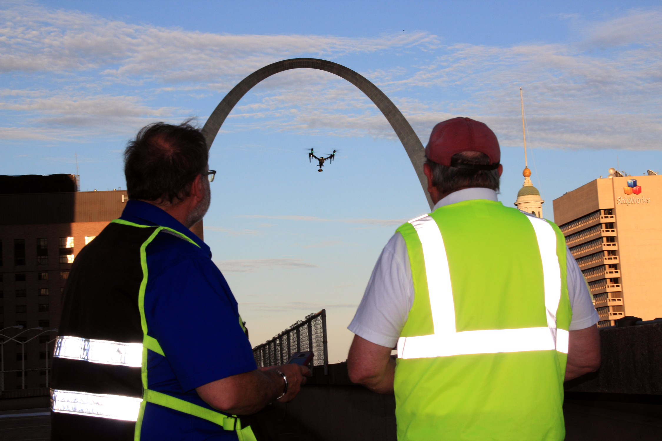
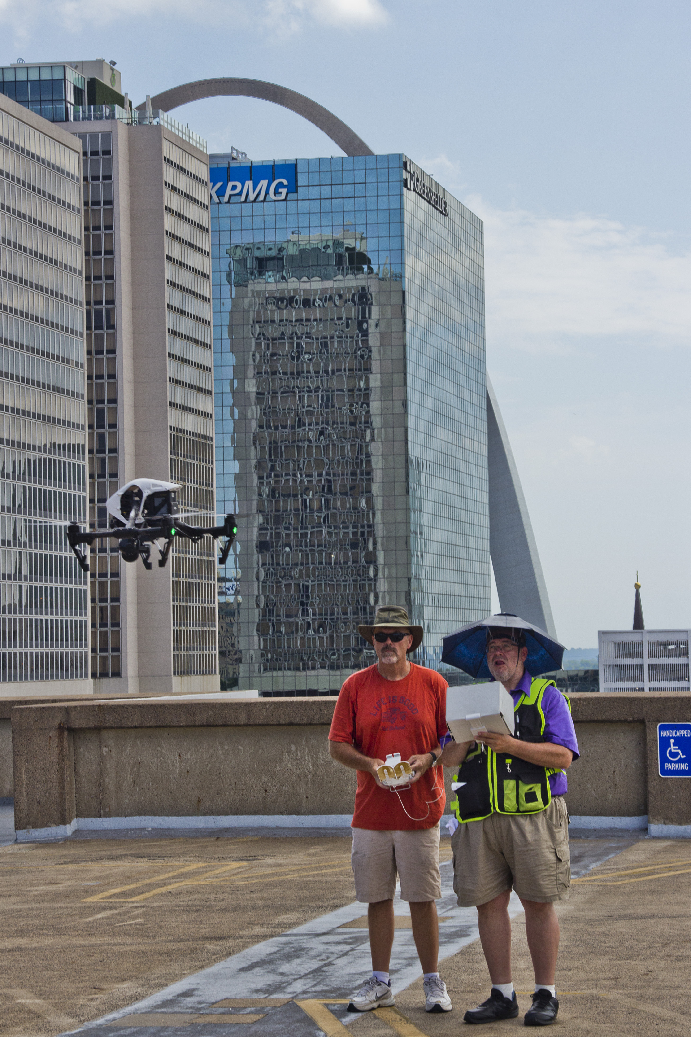
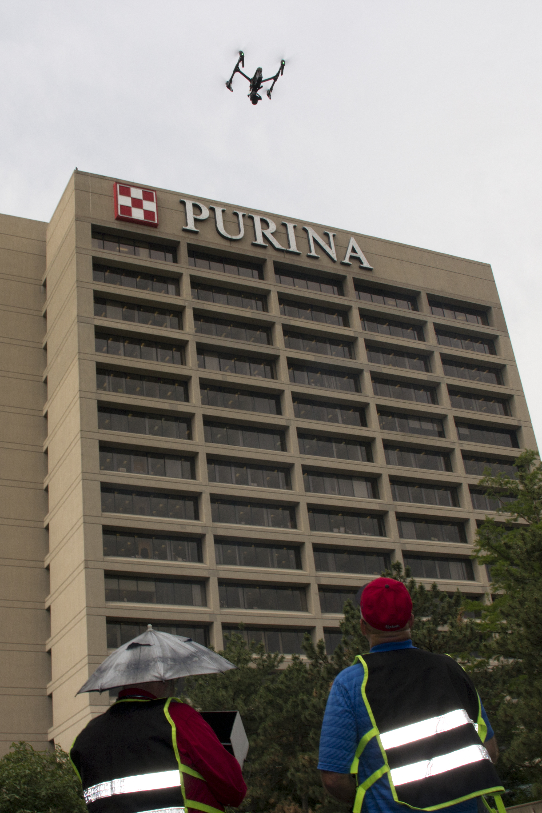
At St Louis Aerial Photography, we understand the importance of capturing progress with precision and creativity. As a full-service professional commercial photography and video production company, we offer the following services to ensure your visual content meets the highest standards:

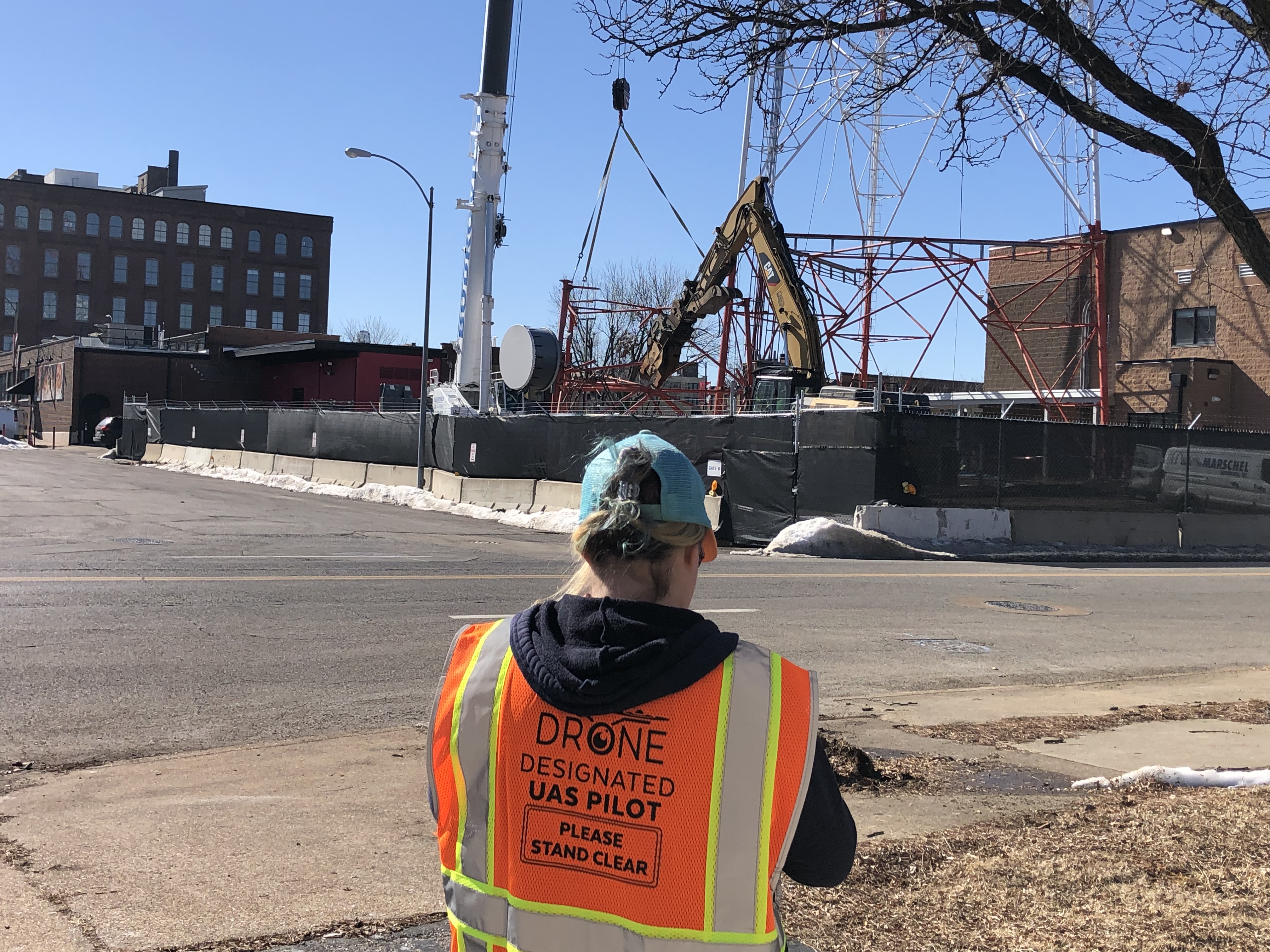
  • Expert Drone Pilots: Our licensed drone pilots have extensive experience in capturing high-quality aerial footage for a variety of applications.
  • Comprehensive Services: We provide full-service studio and location video and photography, including editing, post-production, and customized production solutions.
  • Tailored Productions: Whether you need a private custom interview studio setup, specialized indoor drones, or complete production support with sound and camera operators, we have the equipment and expertise to meet your needs.
  • Versatile Studio Setup: Our private studio offers versatile lighting and visual setups, ideal for small productions, interview scenes, and incorporating props to enhance your set.

Since 1982, St Louis Aerial Photography has partnered with numerous businesses, marketing firms, and agencies in the St. Louis area, delivering exceptional results in corporate photography and video. Our commitment to excellence and attention to detail ensure that your project will be captured perfectly, showcasing your progress in the best possible light.

For all your drone photography and video production needs, trust St Louis Aerial Photography to provide the expertise and equipment required to achieve your vision. Contact us today to learn more about how we can assist with your next project.

314-604-6544

stlouisaerialphotography@gmail.com

The Benefits of Drone Technology for Stockpile Reporting

In industries like mining, construction, and aggregates, the need for accurate stockpile measurement and management is paramount. Traditional methods of assessing stockpile volumes can be labor-intensive, time-consuming, and sometimes inaccurate. However, the rise of drone technology has transformed this process, offering a more efficient, precise, and safer solution. This guide explores how drones are revolutionizing stockpile management and why they should be an integral part of your operations.

Drones equipped with advanced cameras and sensors capture detailed, geo-referenced images from above the worksite. These images are processed using sophisticated photogrammetry software to create highly accurate 3D maps.

Why Use Drones for Stockpile Reporting?

Efficiency and Time Savings

Speeding up data collection: Traditional methods for measuring stockpiles can be cumbersome, often taking several hours or even days to complete, depending on the size and complexity of the site. Drones can accomplish the same task in mere minutes. This significant reduction in time not only saves costs but also allows for more frequent surveys, ensuring that your inventory data is always up-to-date.

Precision and Accuracy

Delivering high-resolution, geo-referenced data: Drones are equipped with advanced cameras and sensors that capture high-resolution images of your site from above. These images are processed using specialized photogrammetry software to create detailed 3D maps. The precision of these measurements, often accurate to within a few centimeters, provides reliable data essential for inventory management and planning.

Enhanced Safety

Minimizing risks with remote data collection: Traditional stockpile measurement methods can be hazardous, often requiring workers to climb unstable piles or operate in close proximity to heavy machinery. Drones eliminate the need for physical contact with the stockpiles, significantly reducing the risk of accidents and improving overall site safety.

How Drone Surveys Work

Data Collection

Capturing detailed aerial images: A drone equipped with a high-resolution camera flies over the site, capturing a series of overlapping images. These images are geo-referenced, meaning they are tagged with precise GPS coordinates, ensuring accurate spatial data for further processing.

Data Processing

Creating accurate 3D models: The captured images are processed using photogrammetry software, which stitches them together to generate an intricate 3D map of the site. This map can be used to take various measurements, including stockpile volumes, surface areas, and elevation changes.

Data Analysis and Reporting

Providing actionable insights: Drone survey software leverages the accuracy of the 3D maps to generate comprehensive reports. You can compare current stockpile volumes to previous surveys, track site progress, and even measure against final grade design files to determine how much material needs to be added or removed. This detailed data supports better decision-making and project management.

Applications of Drone Technology in Stockpile Management

Mining and Aggregates

Optimizing resource management: For professionals in the mining and aggregates industries, drone surveys offer a reliable and efficient way to manage stockpile inventories. Accurate volume calculations help maintain optimal stock levels, plan extraction activities, and ensure efficient use of resources.

Construction Sites

Improving project oversight: Construction sites benefit greatly from drone surveys, which allow for quick and accurate assessments of large areas. The detailed 3D maps provide valuable insights into site progress, material needs, and adherence to design specifications, helping keep projects on track and within budget.

Environmental Monitoring

Supporting sustainability and compliance: Drones also play a critical role in environmental monitoring by tracking changes in landscapes and ensuring compliance with environmental regulations. High-resolution images and 3D models help assess the impact of mining and construction activities, promoting sustainable practices and regulatory adherence.

Why Choose St Louis Aerial Photography for Your Drone Survey Needs?

At St Louis Aerial Photography, we are a full-service professional commercial photography and video production company specializing in high-quality image and stockpile inventory data acquisition. Our team combines cutting-edge technology with creative expertise to deliver outstanding results tailored to your business needs.

Comprehensive Services

Customized solutions for every requirement: We offer a wide range of services, including studio and location video and photography, editing, post-production, and licensed drone pilots. Our ability to customize productions means we can meet diverse media needs, from repurposing your branding materials to helping you achieve greater market visibility.

Advanced Equipment and Expertise

State-of-the-art tools and facilities: Our private studio is equipped with professional lighting and visual setups, perfect for small productions and interviews. The studio space can be customized with props to create a complete set for your production. Additionally, we offer specialized drones capable of indoor flights, providing versatile solutions for any production scenario.

Experienced Team

Supporting you from start to finish: Our experienced team is here to assist with every aspect of your production, from setting up custom interview studios to providing skilled sound and camera operators. We have the equipment and know-how to make your next video production flawless.

Proven Success

Trusted by industry leaders: St Louis Aerial Photography has successfully partnered with numerous businesses to gather critical data and measure stockpiles accurately. Our commitment to accuracy, efficiency, and safety has made us a trusted provider in the industry.

In conclusion, drone technology offers significant benefits for stockpile reporting, including increased efficiency, enhanced accuracy, and improved safety. At St Louis Aerial Photography, we are committed to delivering the best results for your business through expert drone surveys and comprehensive video production services. Contact us today to learn how we can assist with your next project.


St Louis Aerial Photography – Your Partner in Professional Aerial Imaging and Video Production

314-604-6544

stlouisaerialphotography@gmail.com