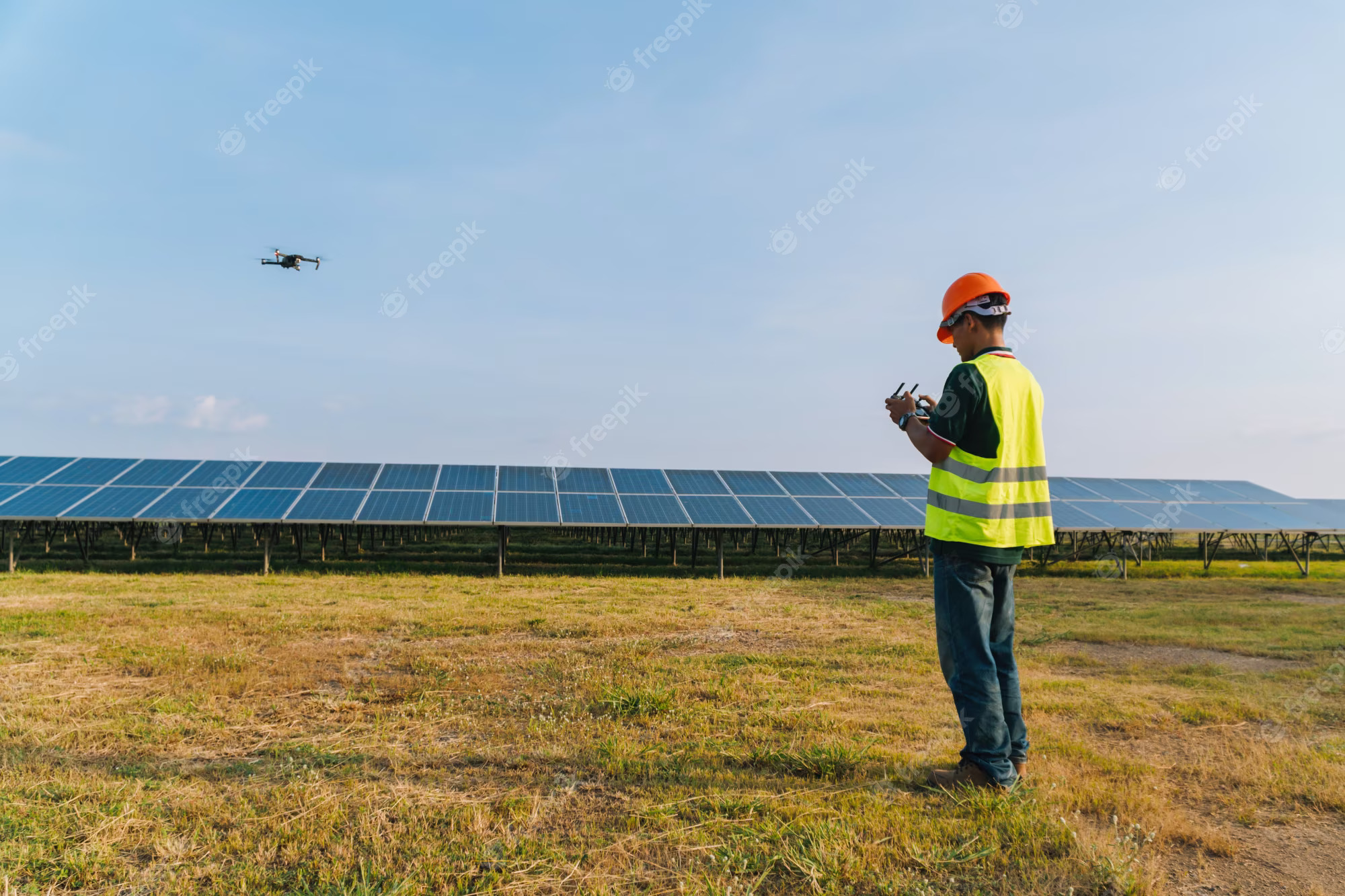
In the rapidly evolving world of industrial operations, accurate and timely stockpile reporting is critical. Whether for mining, construction, agriculture, or logistics, understanding the volume and location of materials is essential for operational efficiency and cost management. Traditionally, stockpile measurement has been a labor-intensive process, involving ground surveys, manual measurements, and significant human effort. However, the advent of drone technology is revolutionizing this landscape, offering unprecedented accuracy, efficiency, and safety.
The Advantages of Drone Technology in Stockpile Reporting
Accuracy and Precision
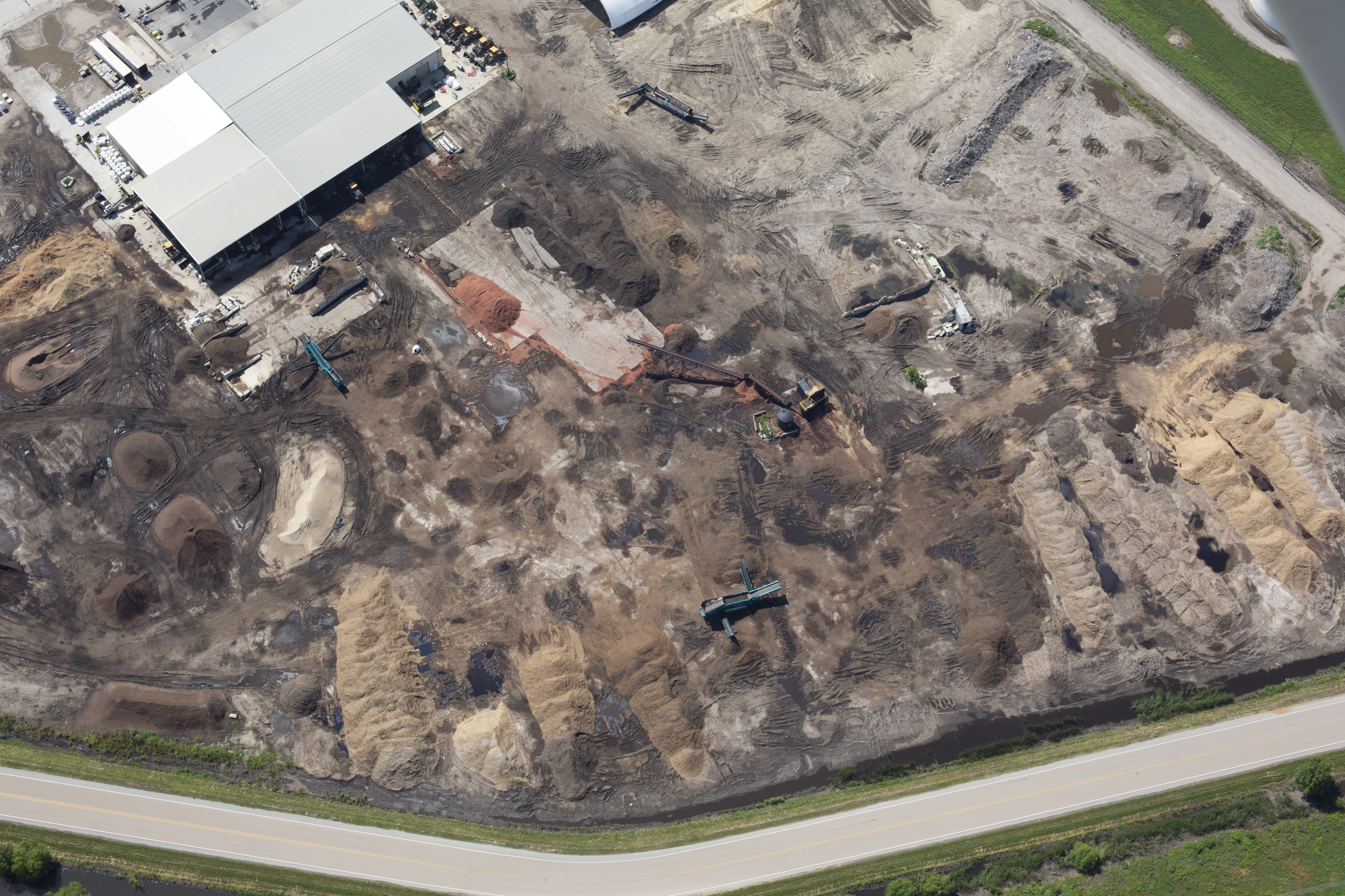
Drones equipped with advanced imaging technology can capture high-resolution aerial photographs and 3D data with remarkable precision. By flying over stockpiles, drones can create detailed orthomosaic maps and digital terrain models (DTMs). These models provide accurate volumetric measurements, enabling precise calculations of stockpile sizes. This level of accuracy is difficult to achieve with traditional methods, which are prone to human error and inconsistencies.
Efficiency and Time Savings
One of the most significant benefits of using drones for stockpile reporting is the time saved. Traditional methods require extensive setup, multiple personnel, and often days of work. In contrast, a drone can survey a large area in a fraction of the time, often within a few hours. This efficiency not only reduces labor costs but also minimizes operational disruptions, allowing businesses to focus on their core activities.
Safety Improvements
Surveying stockpiles manually can be hazardous, especially in unstable or difficult-to-reach areas. Drones eliminate the need for personnel to physically access these dangerous zones. Operators can control drones remotely, ensuring that measurements are taken safely from the air. This significantly reduces the risk of accidents and injuries, promoting a safer working environment.
Cost-Effectiveness
While the initial investment in drone technology may seem high, the long-term cost savings are substantial. Drones reduce the need for manual labor, decrease survey times, and minimize the likelihood of costly errors. Additionally, drones can be used for multiple purposes beyond stockpile reporting, such as site inspections, progress tracking, and marketing material creation, offering a high return on investment.

Implementing Drone Technology in Your Operations
Selecting the Right Drone and Software
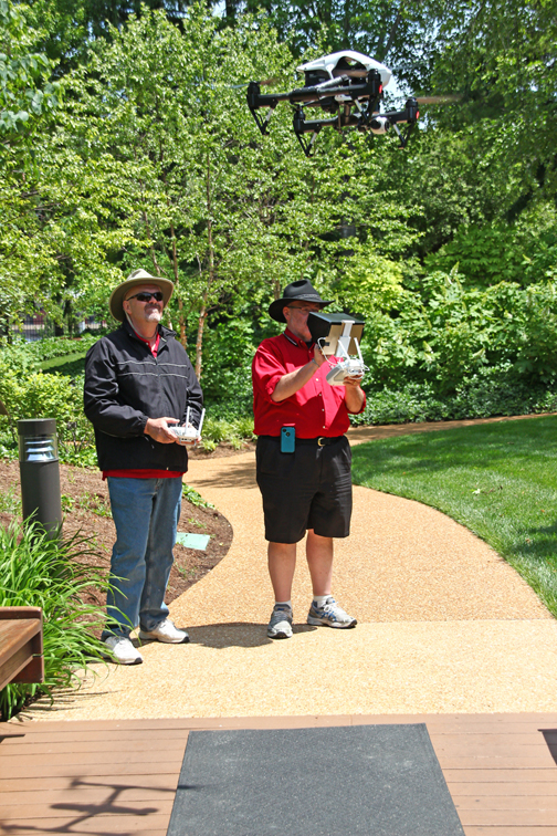
Choosing the appropriate drone and software is crucial for effective stockpile reporting. Factors to consider include camera quality, flight time, range, and software capabilities for data processing and analysis. Partnering with a professional drone service provider like St. Louis Aerial Photography ensures that you have access to the latest technology and expertise.
Integrating with Existing Systems
To maximize the benefits of drone technology, it’s essential to integrate it with your existing inventory management and reporting systems. This integration allows for seamless data transfer and real-time updates, enhancing decision-making and operational efficiency. Customized solutions can be developed to meet your specific needs, ensuring a smooth transition and ongoing support.
Training and Compliance
Proper training is essential for the successful implementation of drone technology. This includes training operators on drone handling, safety protocols, and data analysis. Additionally, compliance with local regulations and obtaining necessary licenses is critical. Working with licensed drone pilots, such as those at St. Louis Aerial Photography, ensures that all operations are conducted legally and safely.
St. Louis Aerial Photography: Your Partner in Aerial Stockpile Reporting
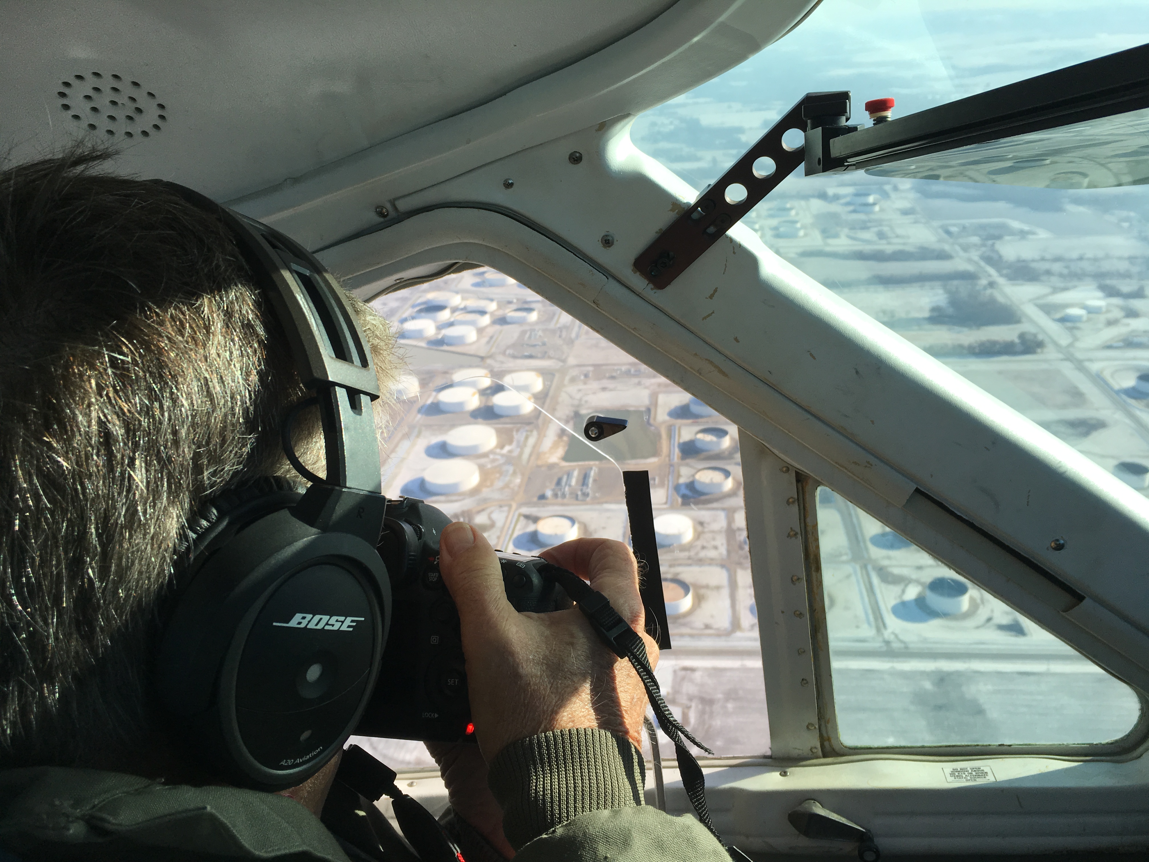
At St. Louis Aerial Photography, we specialize in providing comprehensive drone services for stockpile reporting and beyond. Our team of experienced professionals is equipped with state-of-the-art technology and a deep understanding of industry requirements. We offer a full range of services, including studio and location video and photography, editing, post-production, and licensed drone operations.
Expertise and Equipment
Our capabilities extend to indoor drone flights, perfect for capturing detailed images in confined spaces. Our private studio is ideal for small productions and interviews, with ample space for props to create a complete set. We handle every aspect of production, from sound and camera operations to post-production editing, ensuring that your video production is flawless.
Custom Solutions for Diverse Media Requirements
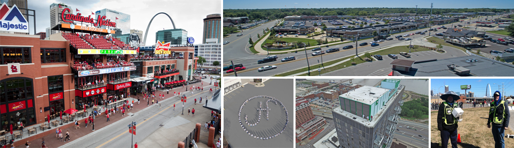
We have a proven track record of working with businesses, marketing firms, and agencies throughout the St. Louis area, delivering high-quality corporate photography and video. Our expertise in repurposing media content for various platforms ensures that your branding gains maximum traction. With a deep understanding of all file types, styles, and accompanying software, we are well-equipped to meet diverse media requirements.
Comprehensive Production Services
Our private studio lighting and visual setup is perfect for small productions and interview scenes. Large enough to incorporate props, our studio setup rounds out your set perfectly. We can help with every part of your production, from a private custom interview studio setup to providing sound and camera operators and equipment. We have everything needed to make your next video production perfect. We can even fly our specialized drones indoors.
A Proven Partner for Your Business
As a full-service video and photography production company, St. Louis Aerial Photography has worked with many businesses, marketing firms, and agencies in the St. Louis area for their corporate photography and video needs. Our experienced team, advanced equipment, and creative approach make us the perfect choice for all your aerial and ground-based media needs.
By choosing St. Louis Aerial Photography, you are partnering with a full-service professional commercial photography and video production company committed to delivering exceptional results. Contact us today to learn how we can help transform your stockpile reporting and elevate your media presence.