When it comes to documenting the controlled demolition of buildings, the stakes are high—and so is the vantage point. These moments are often fast, precise, and dramatic. Capturing them with clarity and creativity requires more than just setting up a camera on a tripod. That’s where aerial drone videography plays a transformative role. In today’s blog, we’ll explore how drones are revolutionizing the way demolition projects are filmed and photographed, and why professional, experienced operators make all the difference for your production.
Why Document Demolitions with Drones?
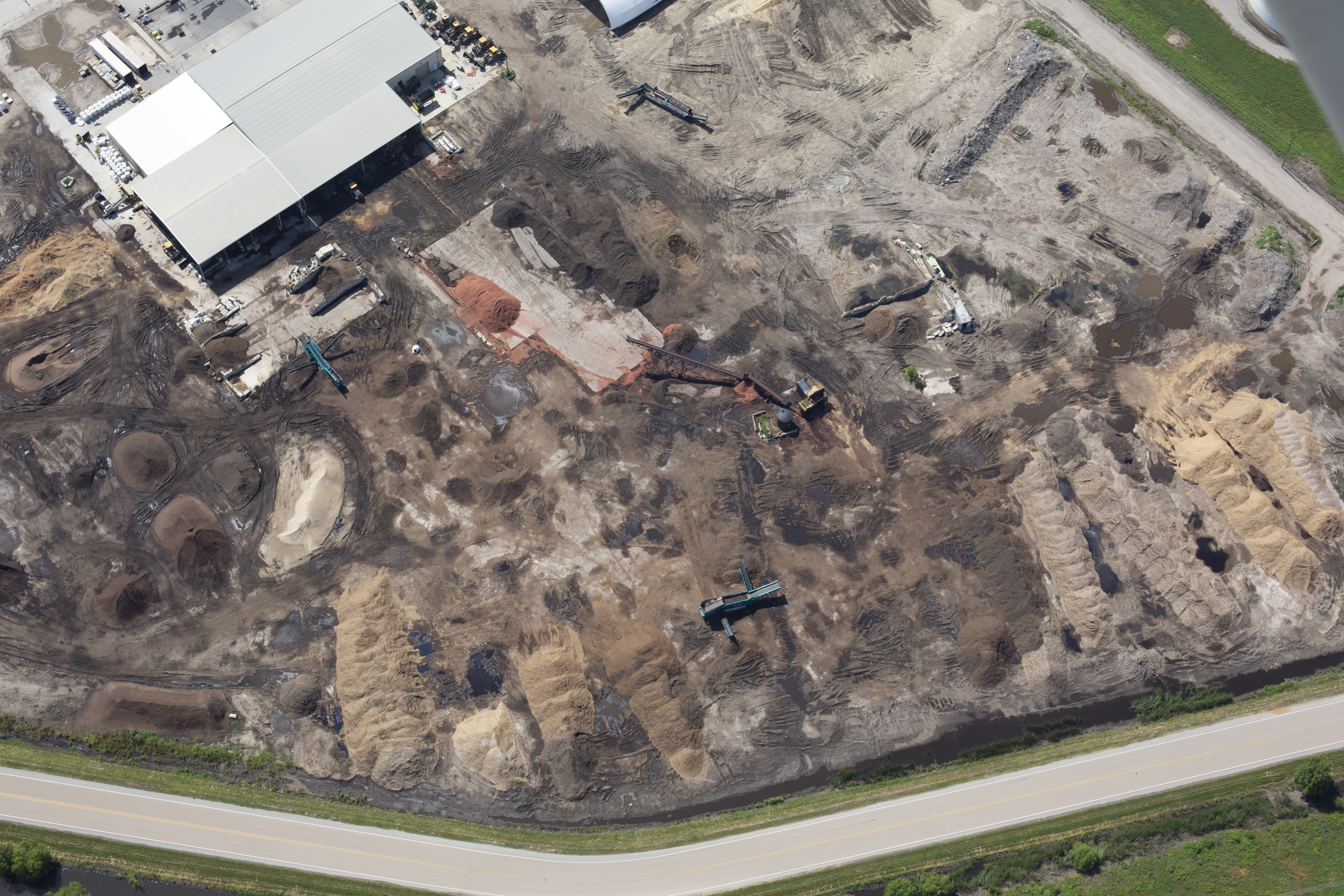
Whether it’s an aging warehouse, a downtown high-rise, or an industrial site being prepped for redevelopment, building teardowns mark a pivotal moment for businesses, communities, and developers. Capturing these demolitions with drone technology offers distinct advantages:
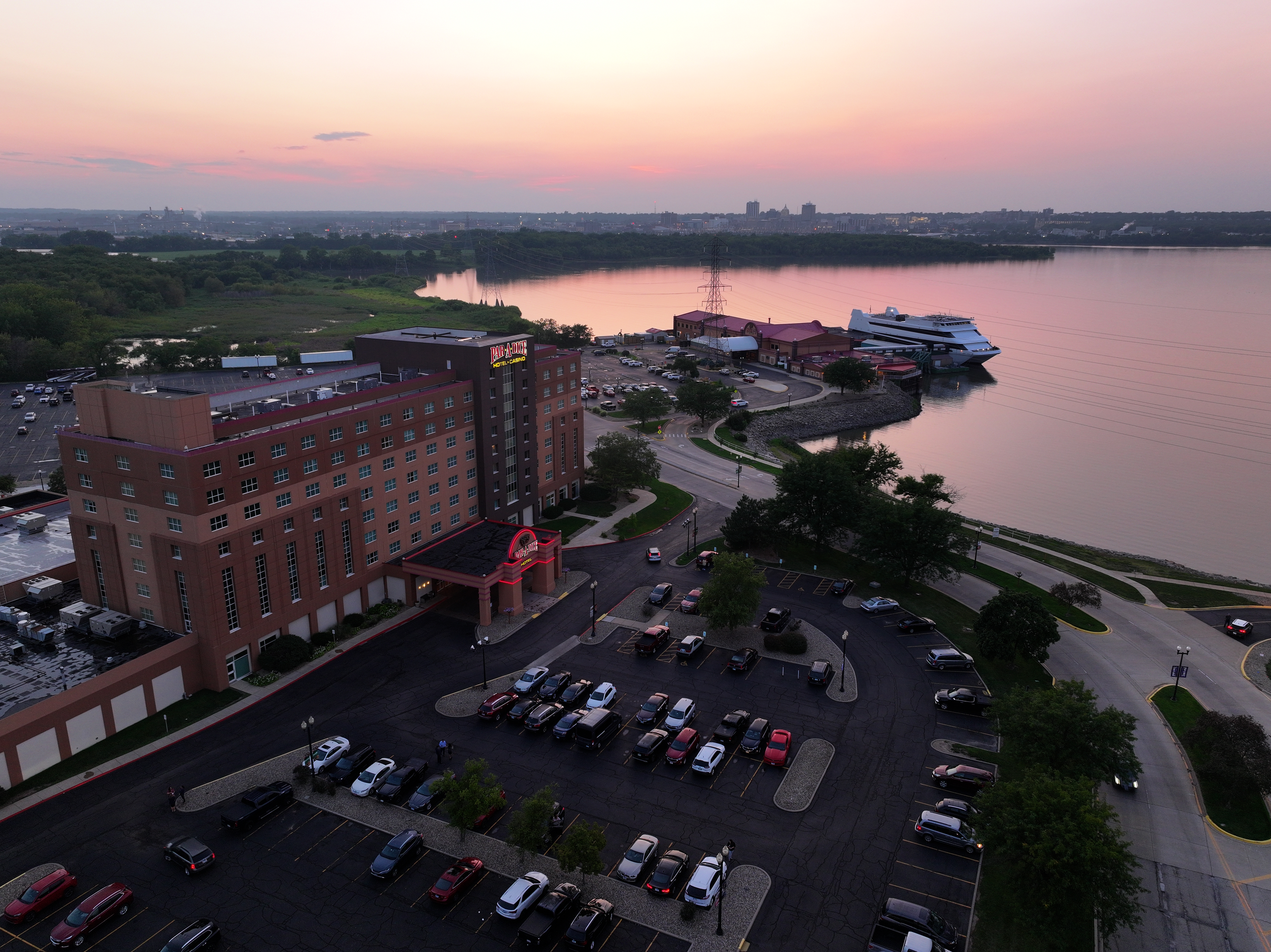
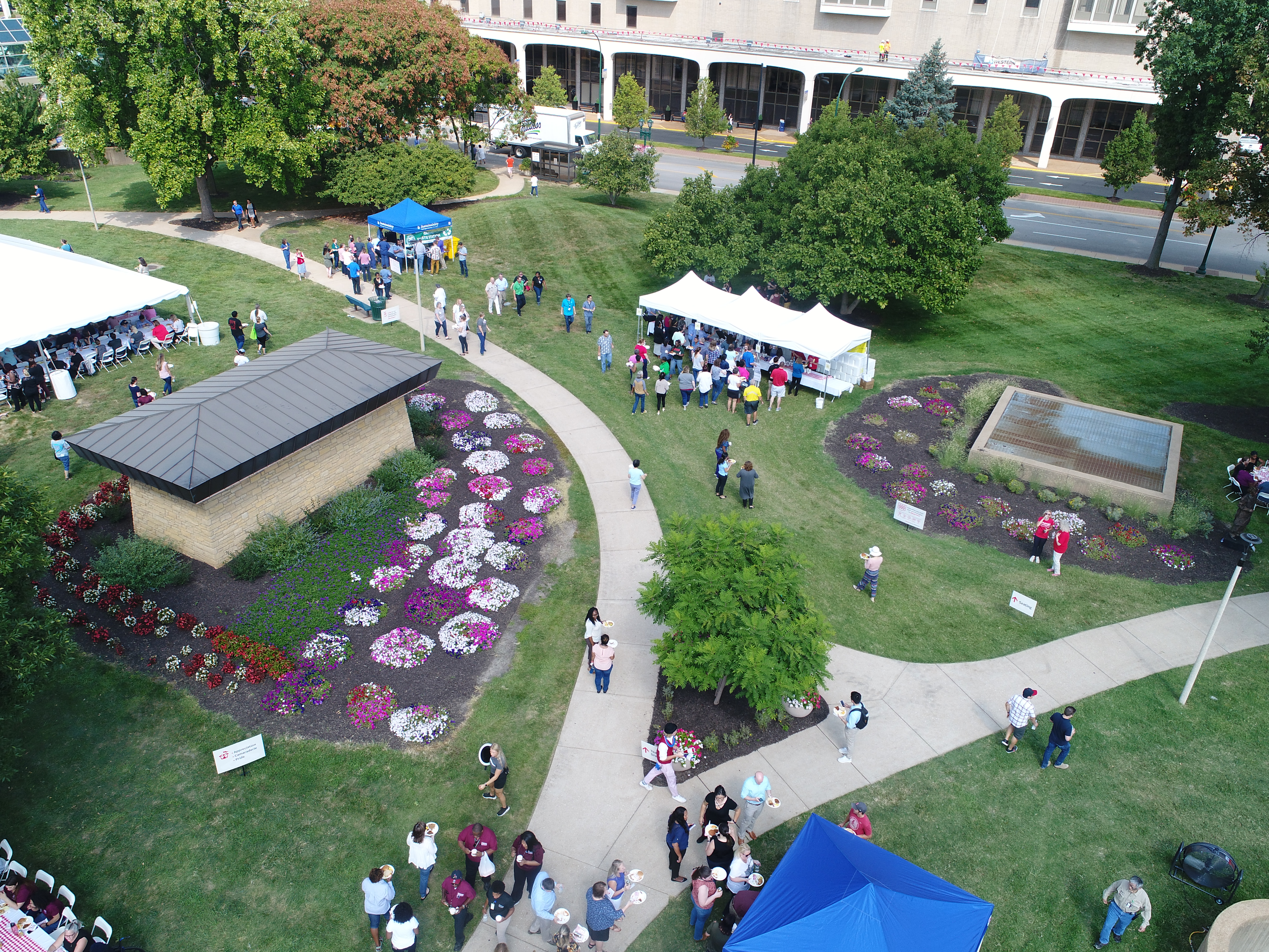
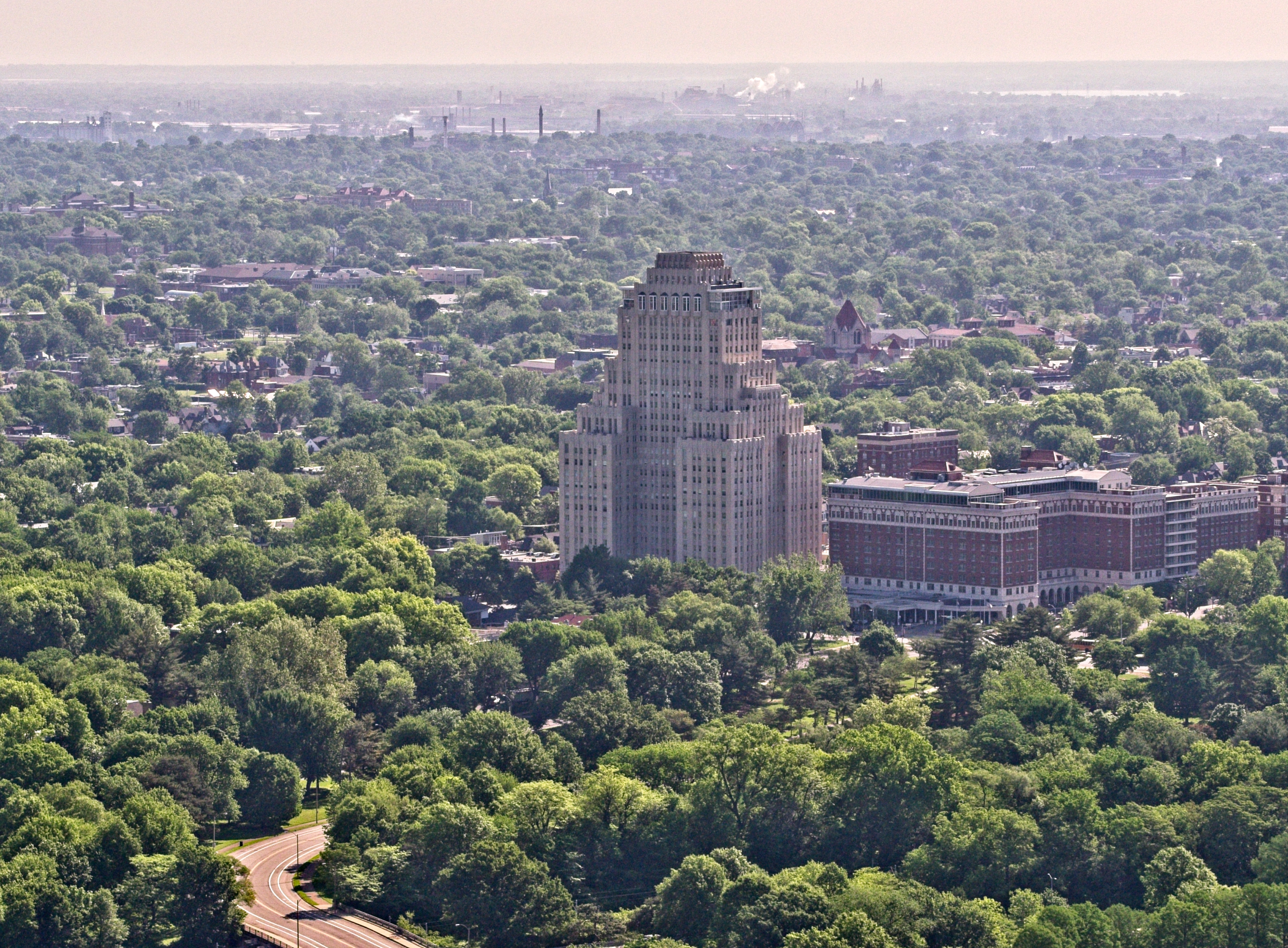
1. Bird’s Eye Precision
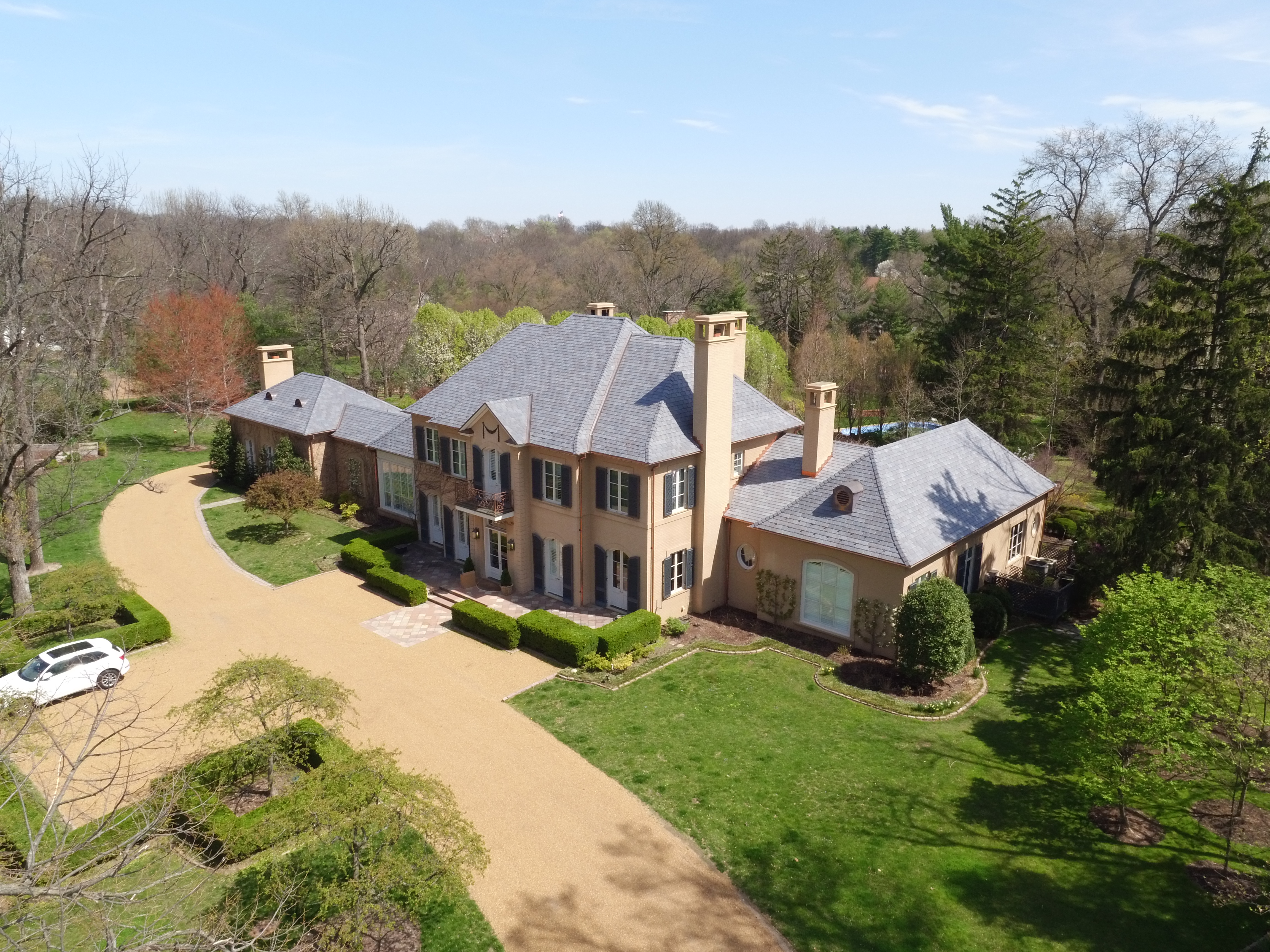
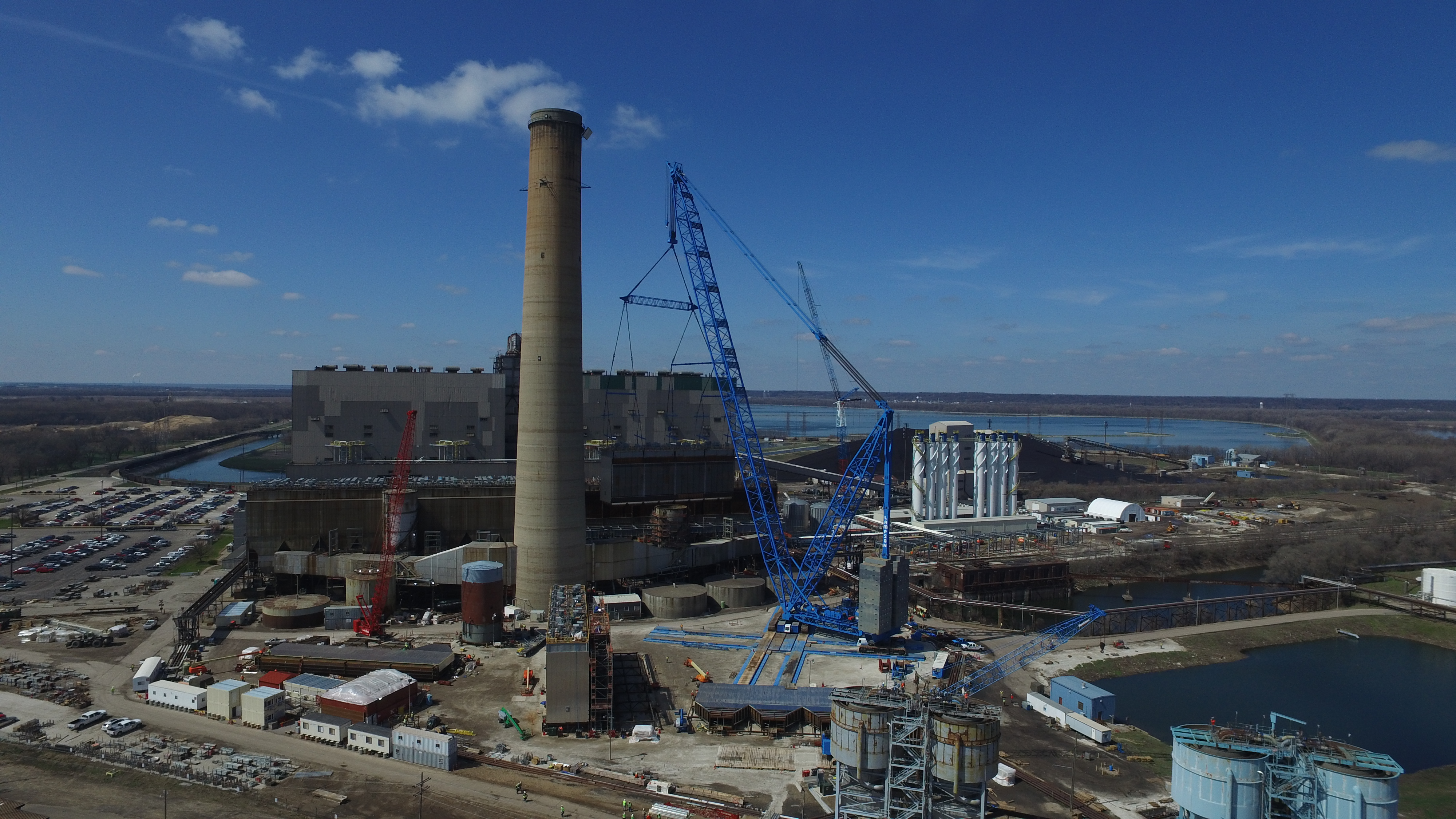
Drones give you unmatched visibility. From vertical flyovers to lateral tracking shots, drones can document every stage of the demolition with cinematic flair—before, during, and after impact.
2. Safety and Access
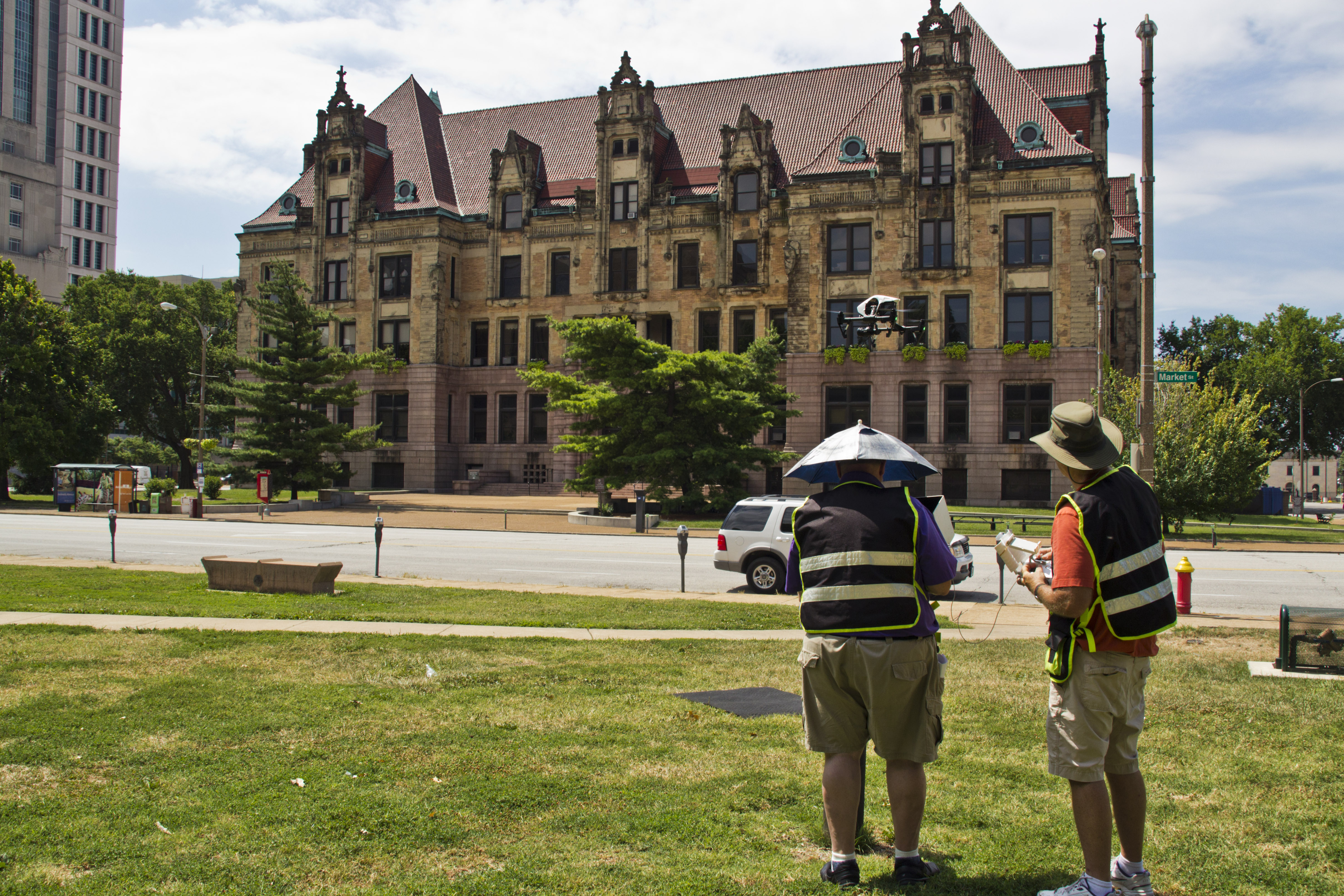
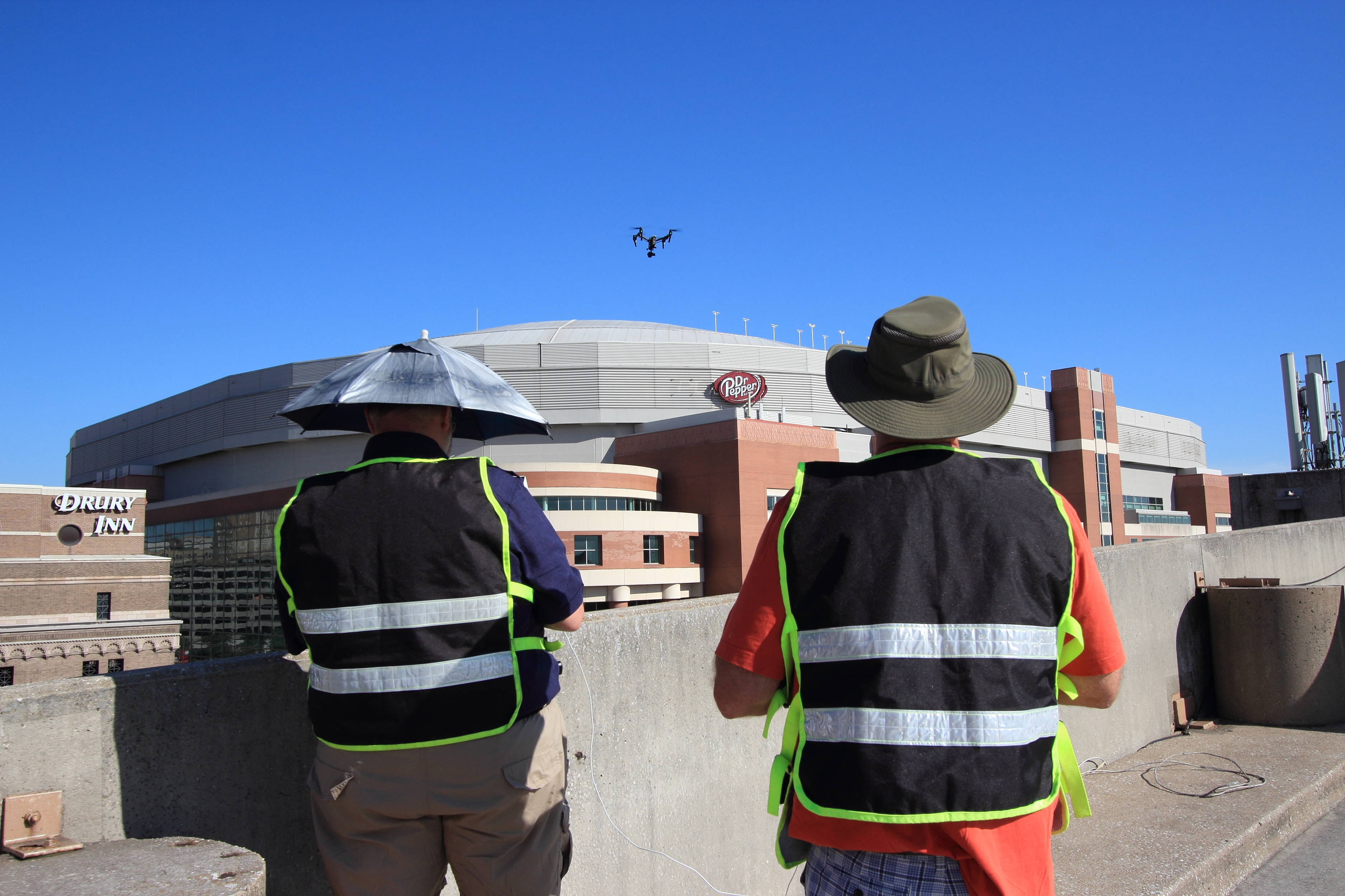
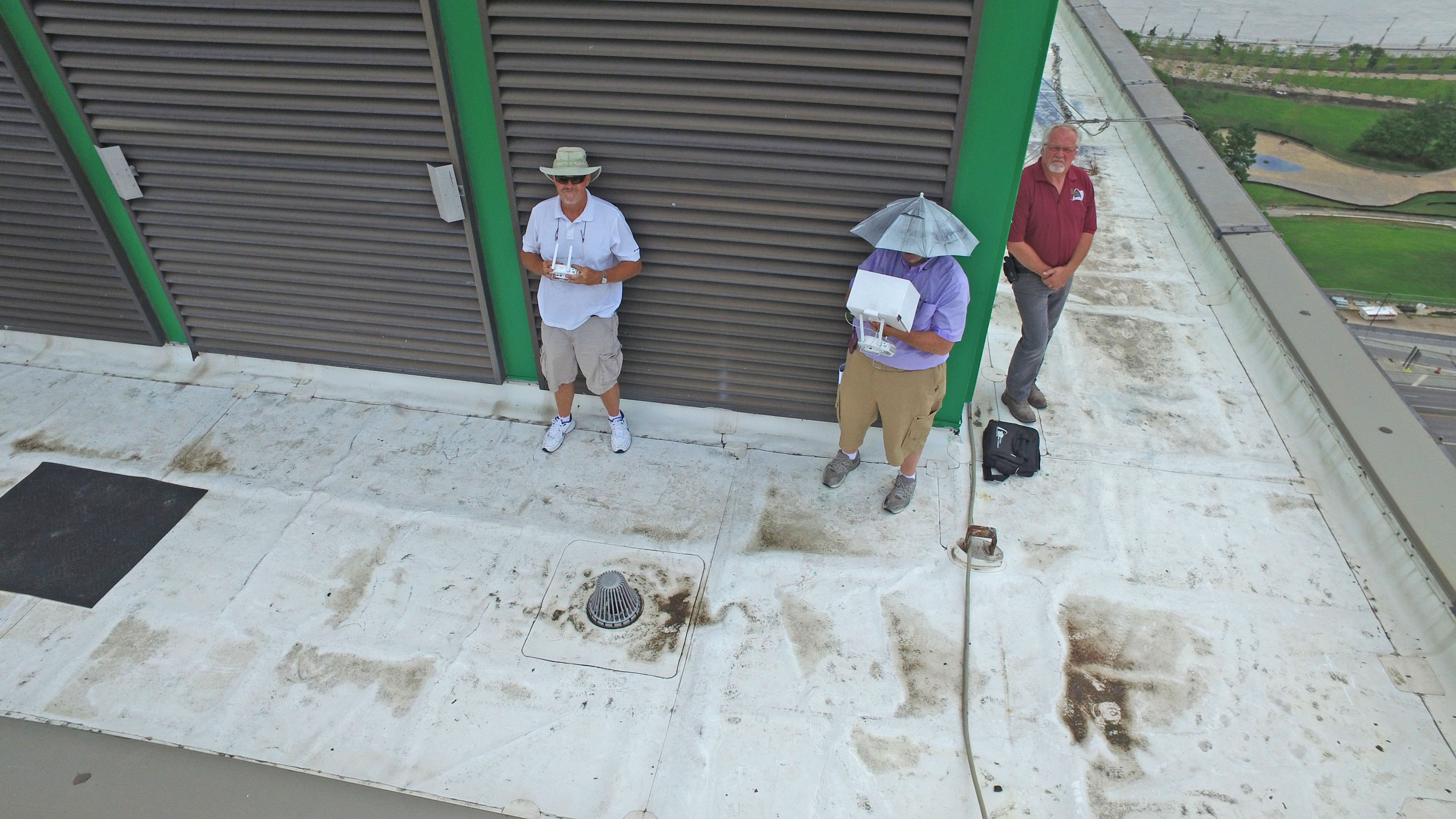
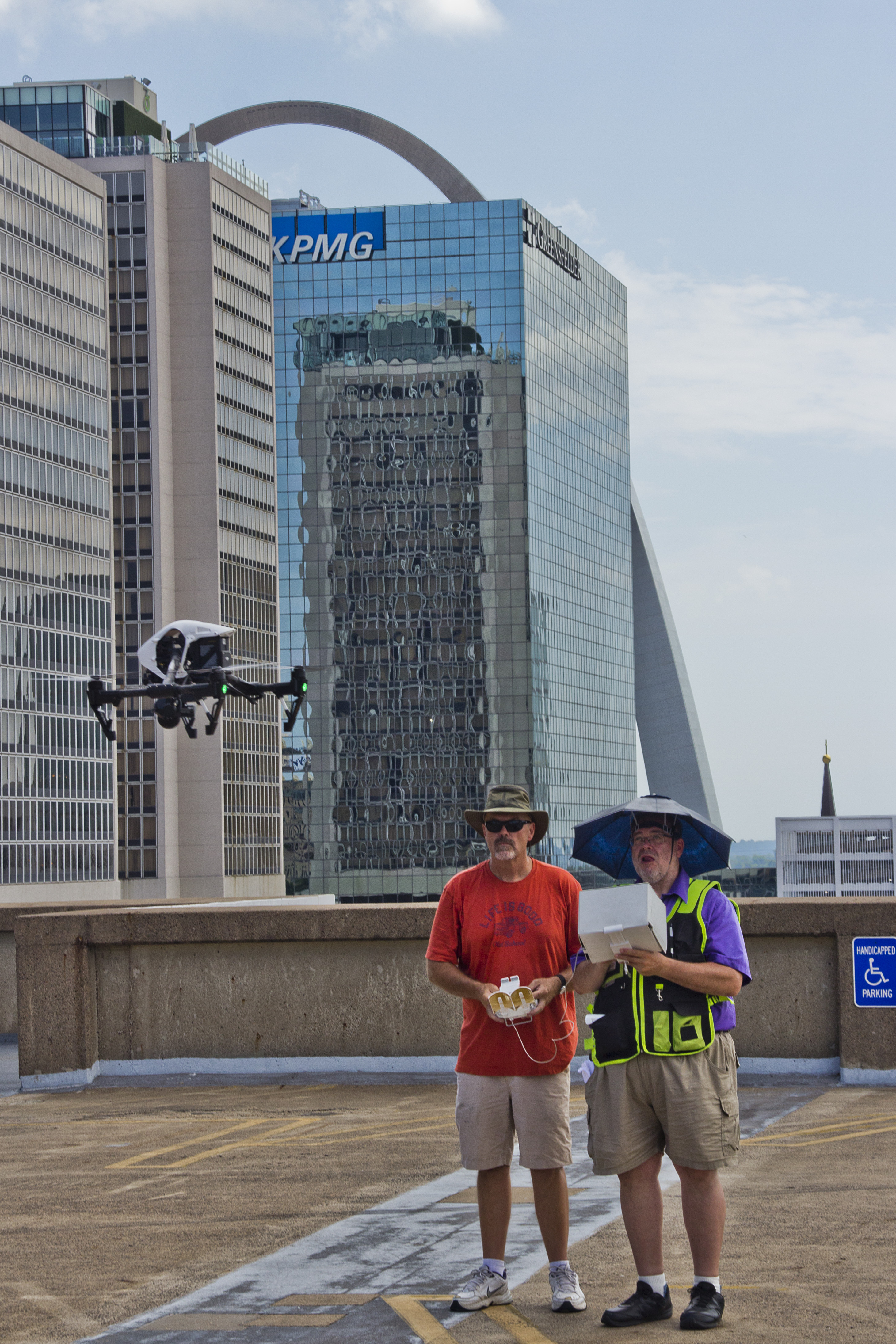
Controlled demolitions are dangerous by nature. Drones allow for safe data and imagery acquisition from a distance. Rather than risking crew members on-site, drones can fly above or around the danger zone to secure dynamic footage safely.
3. Real-Time Monitoring and Documentation
Clients, city officials, engineers, and stakeholders often need real-time visuals during a teardown. Our drone systems can live-stream footage to multiple devices and decision-makers on or off site, enhancing communication and oversight.
4. Marketing and PR Value
Aerial demolition footage isn’t just functional—it’s marketable. Whether you’re launching a redevelopment project, rebranding a company’s location, or showcasing transformation for a stakeholder presentation, the drama and scale of a well-shot teardown is unmatched. These visuals are perfect for social media, press releases, and corporate archives.
Technical Considerations for Demolition Shoots
High-quality demolition footage requires a professional touch. Here’s what we prioritize at St. Louis Aerial Photography to ensure every project is a success:


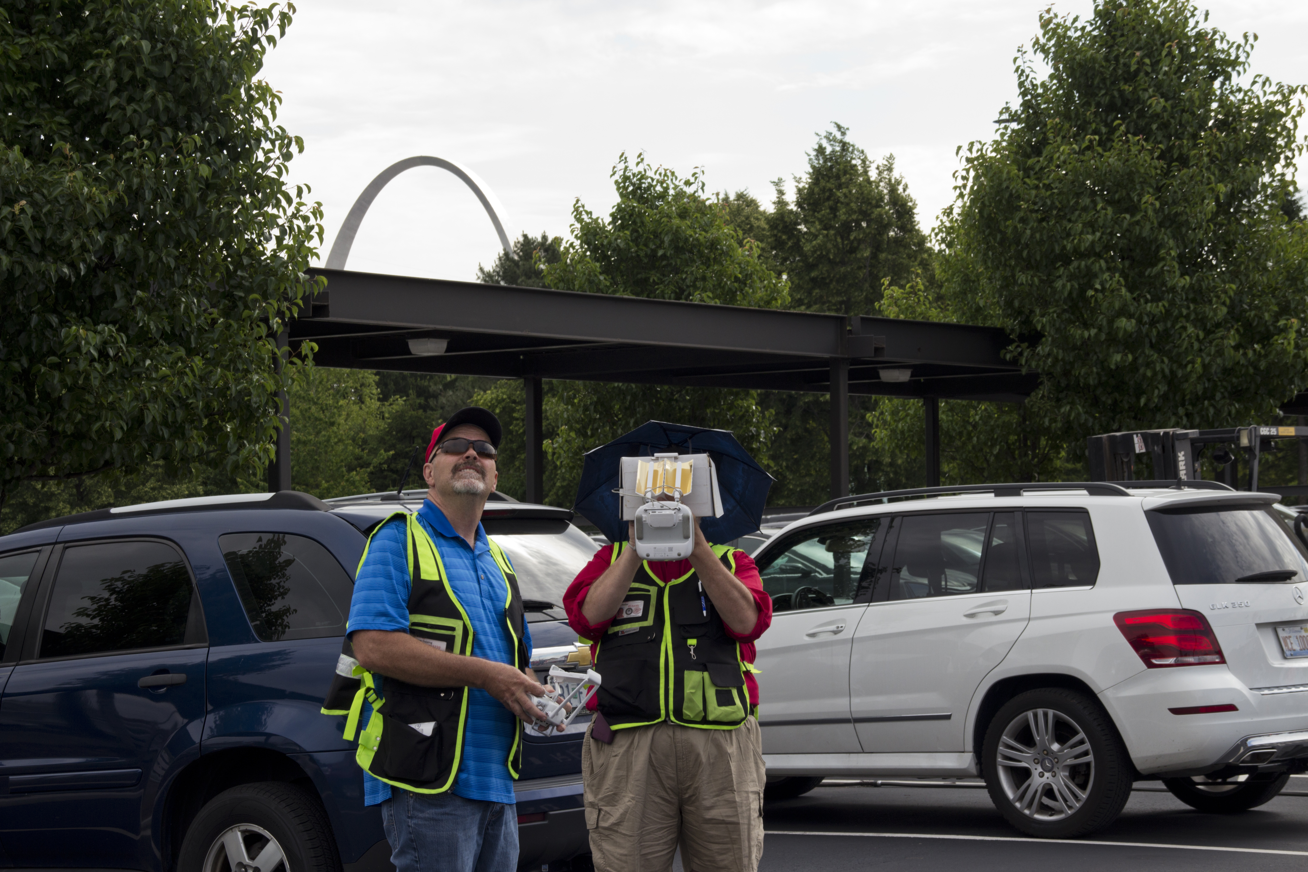

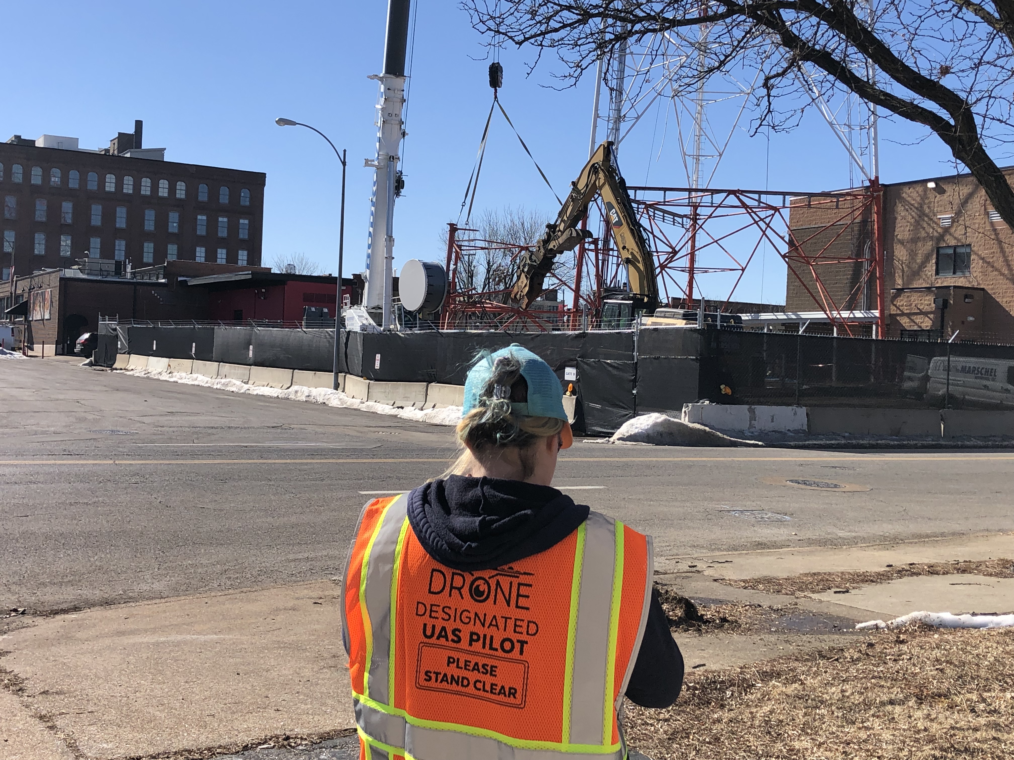
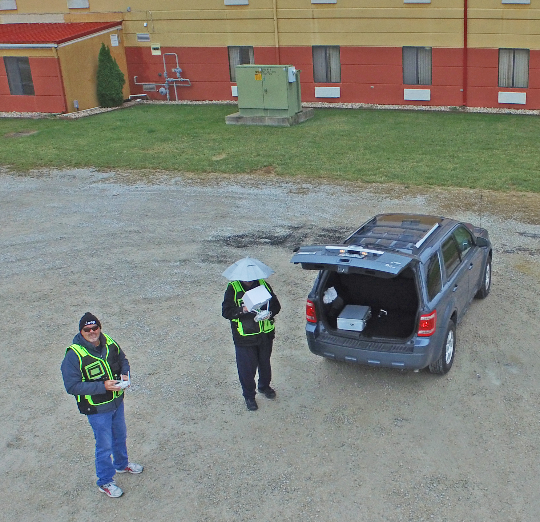
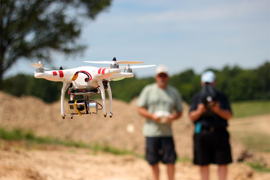
- Flight Planning and Permits: We coordinate FAA clearances, local flight permissions, and adhere to all safety and airspace regulations—especially critical in metro or industrial zones.
- Multiple Angles and Altitudes: We plan and program pre-flight routes and manual control positions for full coverage, capturing wide establishing shots as well as slow-motion collapses in fine detail.
- High-Resolution Capture: We deploy cameras capable of shooting in 4K or higher, including options for slow-motion and HDR capture to ensure every dust cloud, falling beam, or crumbling brick is crystal clear.
- Post-Production Polish: Raw demolition footage is only the beginning. Our in-house editing and post-production team can cut together highlight reels, time-lapse sequences, and branded packages suitable for web, broadcast, or internal presentations.
Indoor and Close-Quarter Drone Capabilities
In addition to exterior demolition capture, St. Louis Aerial Photography is one of the few companies in the region capable of flying specialized drones indoors. For pre-demo walkthroughs or interior deconstruction documentation, our lightweight drones provide sweeping interior shots that traditional camera rigs simply can’t match.
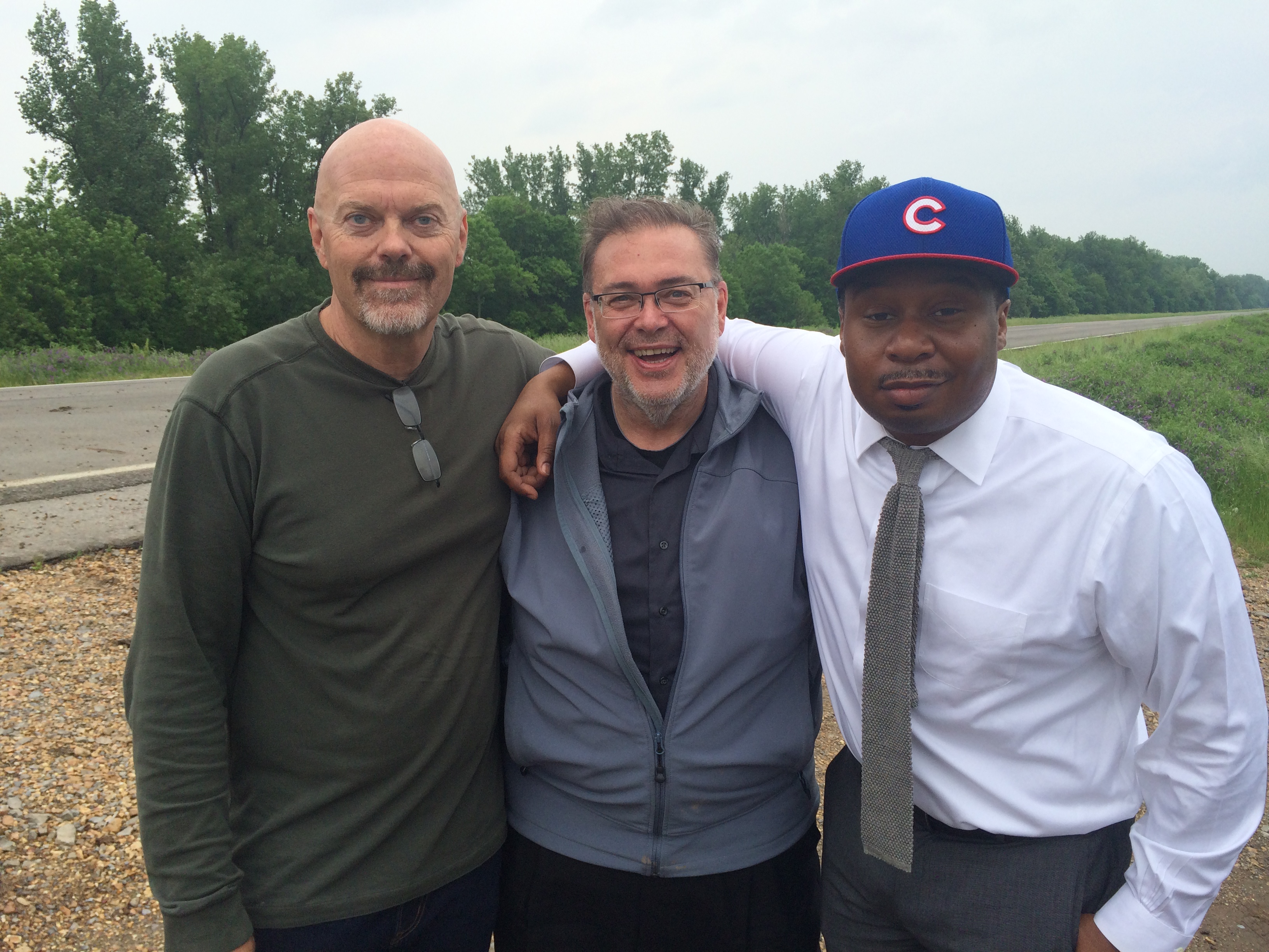
Partnering with the Right Crew for Demolition Imagery
Capturing a building’s final moments isn’t just about flying a drone—it’s about storytelling. You want experienced aerial operators who understand production timelines, creative framing, and the coordination needed between contractors, engineers, and marketing teams.
That’s exactly what we bring to the table at St. Louis Aerial Photography.
Why Choose St. Louis Aerial Photography?
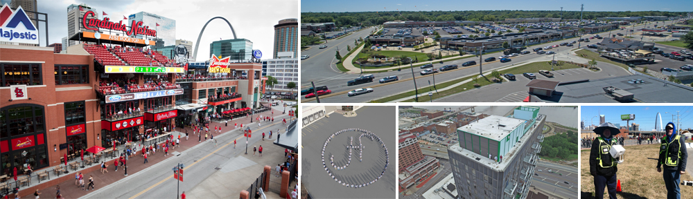
As a full-service professional commercial photography and video production company, we have decades of experience capturing dynamic, high-stakes visuals like building demolitions. Since 1982, we’ve worked with businesses, marketing firms, and creative agencies across the St. Louis area, helping them document and promote their most impactful moments.
Here’s what makes us different:
- The Right Equipment and Licensed Drone Pilots: We fly FAA-compliant drones and use professional-grade camera systems to ensure flawless results.
- A Creative and Experienced Crew: Our team knows how to capture drama, structure, and narrative with every frame.
- Custom Production Services: From private studio lighting setups to on-location shoots, we tailor every shoot to fit your media needs.
- Indoor Drone Flight Capabilities: Perfect for interior teardowns or tight-access areas where traditional cameras can’t go.
- Comprehensive Post-Production: Editing, sound design, graphics, and formatting for any platform or purpose.
- Media Repurposing Expertise: We help you turn one event—like a demolition—into multiple branded assets for marketing, PR, and internal use.
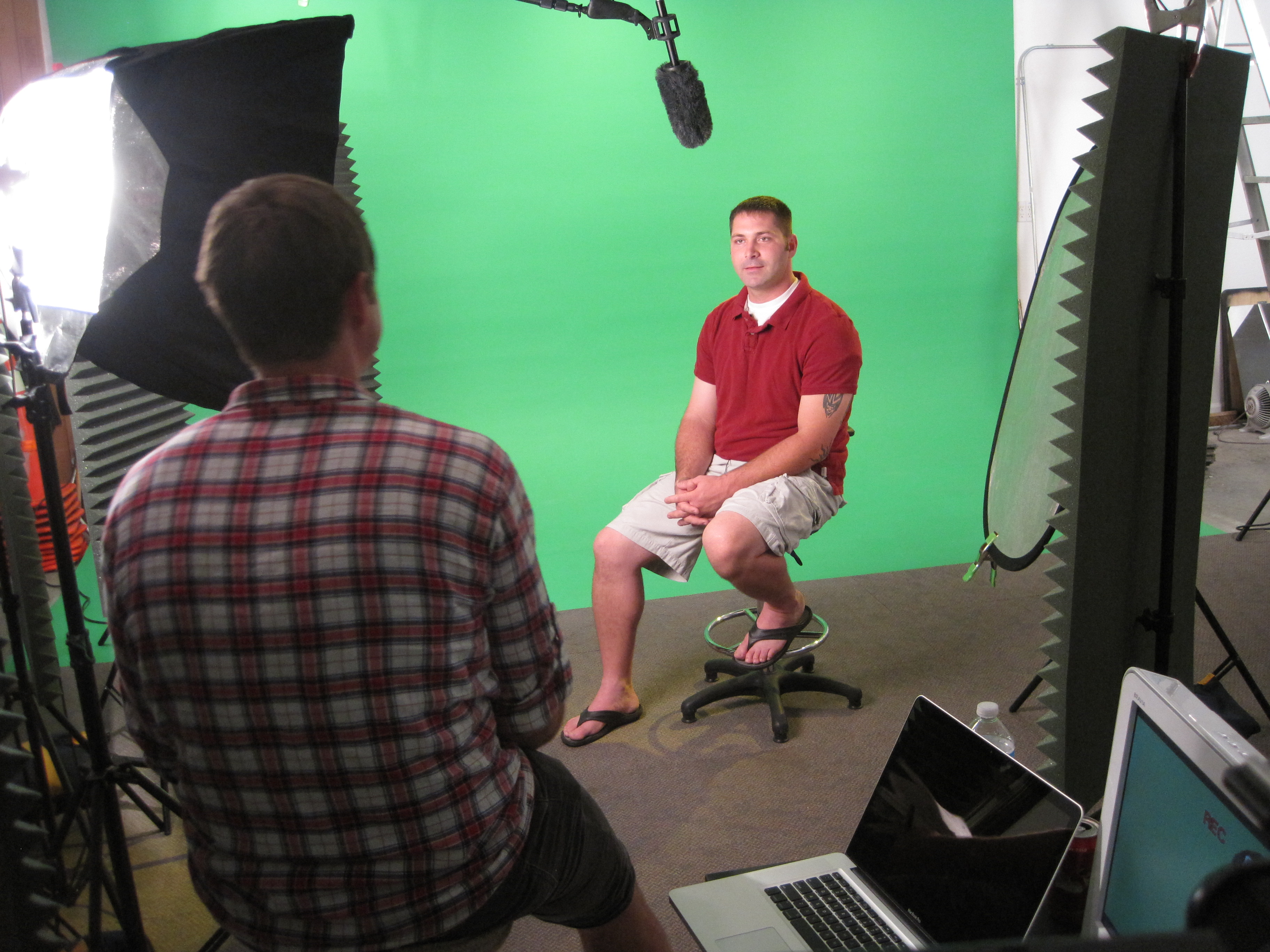
From the custom interview studio setup to the flying of drones over collapsing structures, St. Louis Aerial Photography has the tools, vision, and know-how to make your demolition project not only well-documented—but unforgettable.
Ready to make your next teardown a cinematic moment?
Contact us at St. Louis Aerial Photography—where your production is always seen from the best angle.